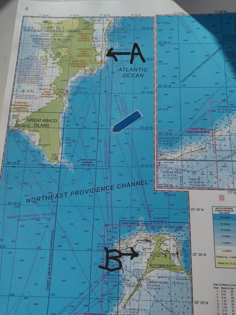
Crossing from Lynyrd Cay in the Abacos (A) to Meeks Patch, off Eleuthera (B) involves an ocean passage and about 60 nautical miles that took us almost eight hours. (The “sticky flag boat” in the middle shows our low tech backup way of tracking ourselves. Yep, we keep tabs on the old-school charts using Lat and Long even though we have multiple electronic tools running. It’s like using a map on a road trip.) For those following along via the Locate Us link, it looks like we made an “as the crow flies” straight-line run across, because we, unfortunately, neglected to turn on the Iridium Go widget before we left.
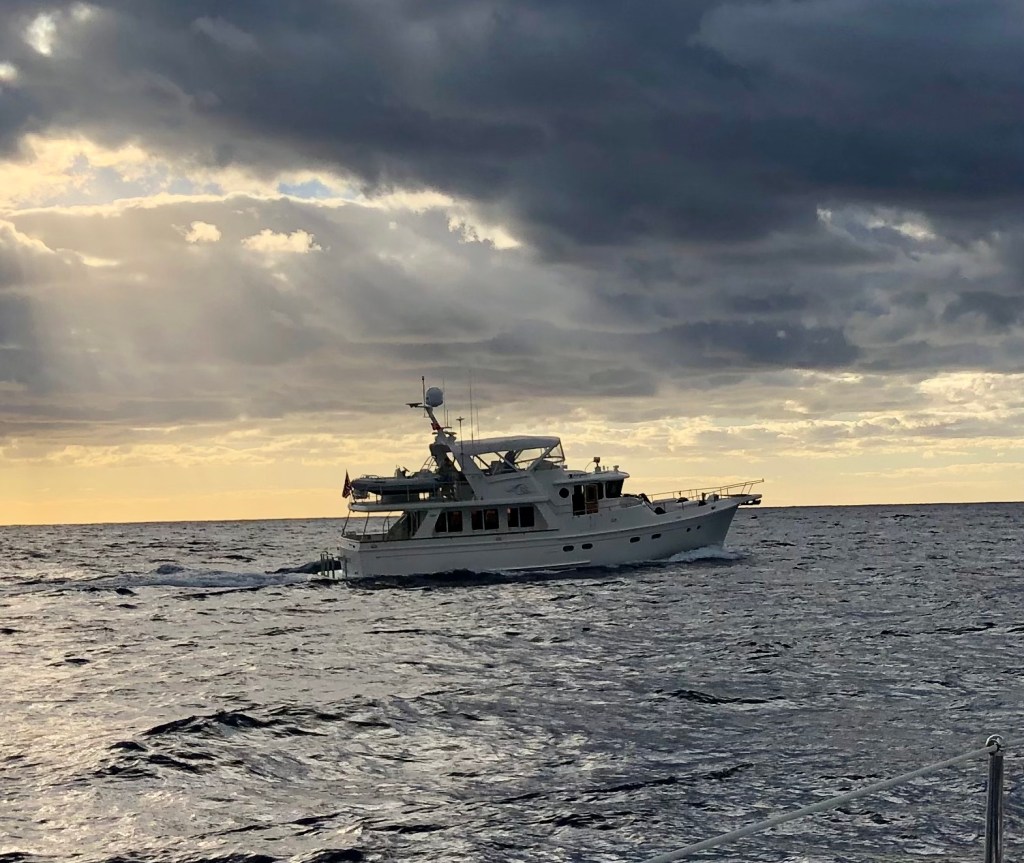
There was a brief weather window for the crossing, so several boats left at first light. Traveling with buddy boat, Chanceaux, allowed for sharing underway photos. Thanks, Madeleine!
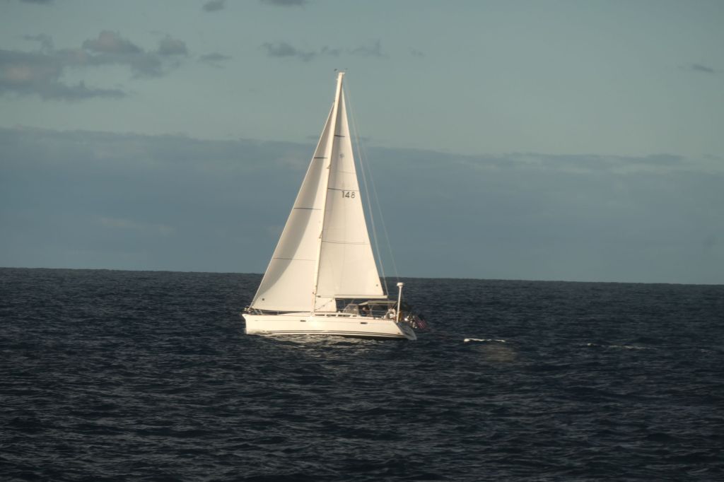
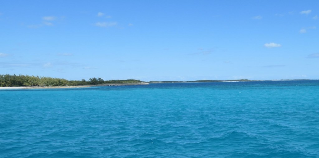
The striking color of the deep blue sea was again amazingly beautiful, and most of the trip was the predicted 2-3′ waves. There was a patch in the middle where the winds changed and the seas got more aggressive in banging against the port side, which led Susie to some “chair time” where she parks it in a seat on the flybridge for awhile and quits trying to move around, but nothing too extreme and nothing we couldn’t handle.
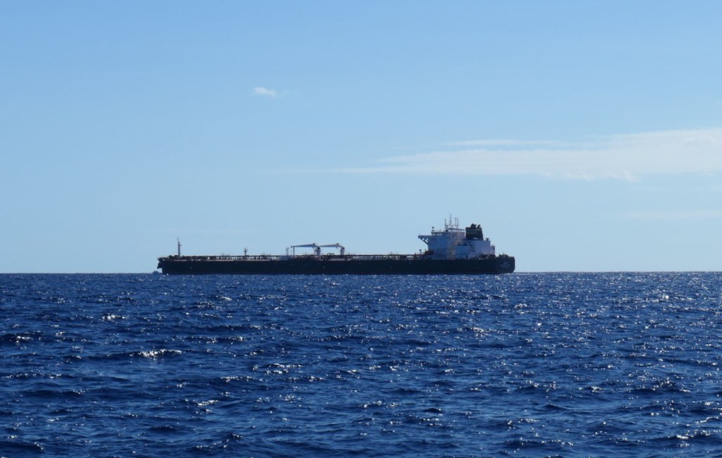
We certainly weren’t alone out there. In addition to the several other boats that headed out at daybreak, we crossed paths with a few tankers.
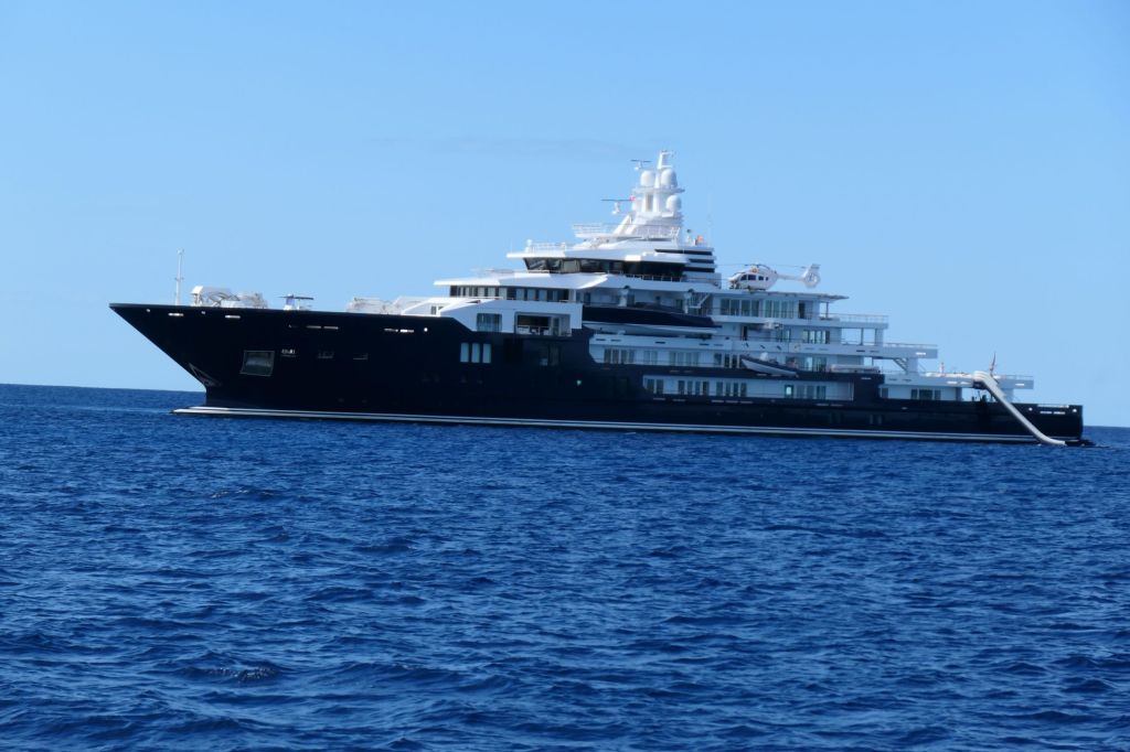
And there was this “little” girl: the 118-meter expedition yacht, Ulysses, station-keeping near the entrance to the Eleuthera bank. Yes, that’s a water slide and a helicopter.