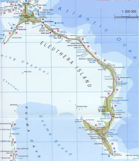
Time to leave Meeks Patch and head further south. If you look at a chart, Eleuthera is a long, skinny kinda reverse “ↄ” shaped island. It’s about 65 miles long, and much of it is less than a mile wide. On one side is the Atlantic Ocean (east), on the other is the Bight of Eleuthera (west).
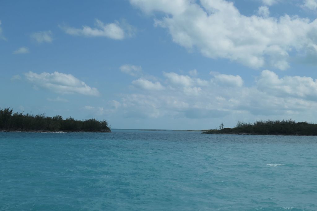
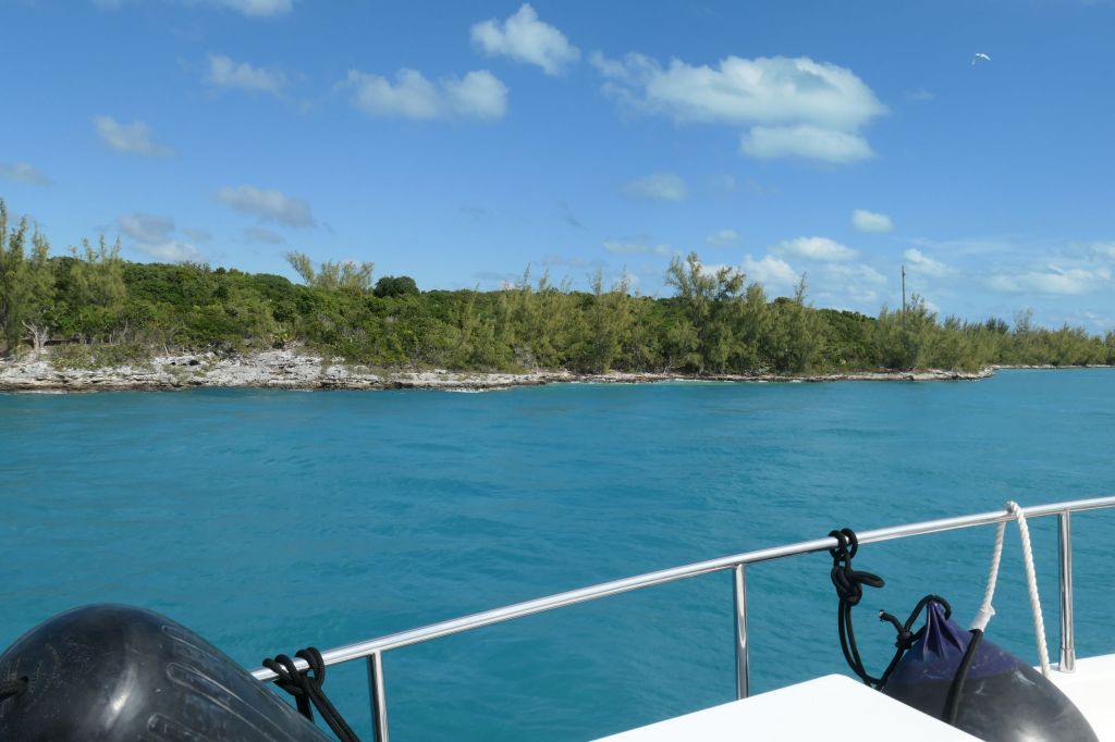
Most cruisers stay on the west side to use the island as protection from the prevailing easterly winds and waves. To get south, you have to cut through the top of the “ↄ,” and boy what a cut through! Appropriately named Current Cut, it is a sliver that nature somehow made through the island. Known for a ripping current, we timed our passage to go through on a slack rising tide. The narrowness surprised us, as did the rocky shore.
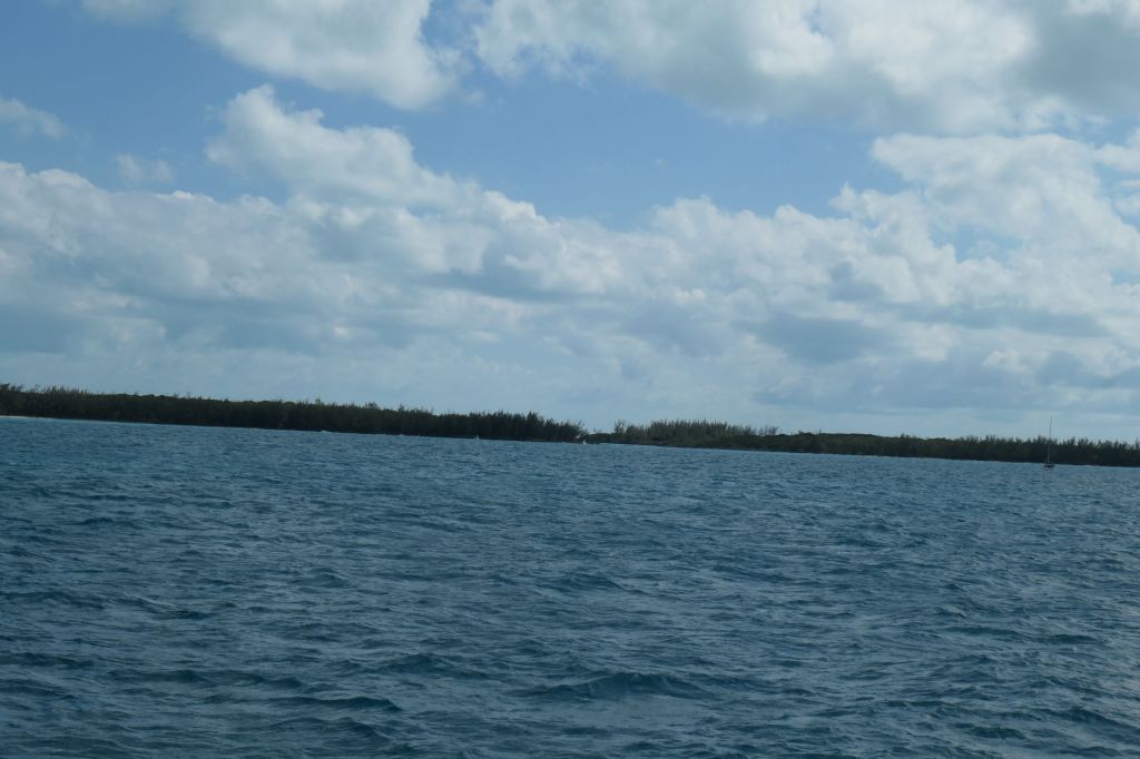
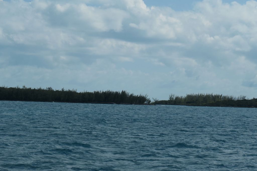
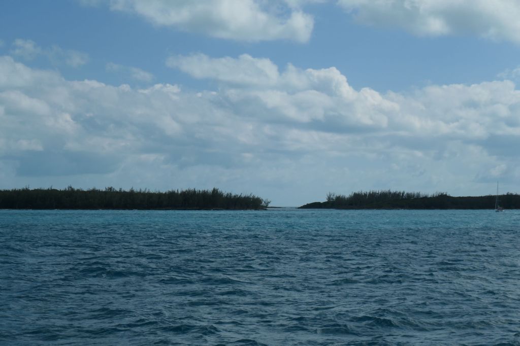
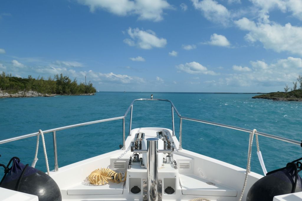
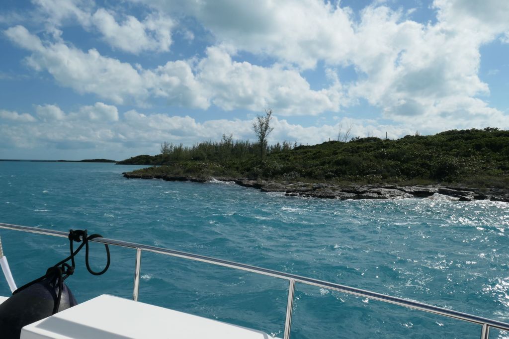
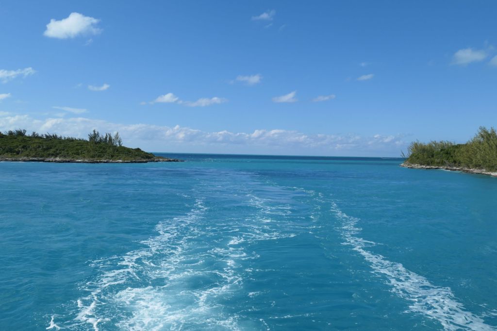
And we’re through! Piece of cake. Just a plus one knot push by the current. Well timed, captains. Onward!
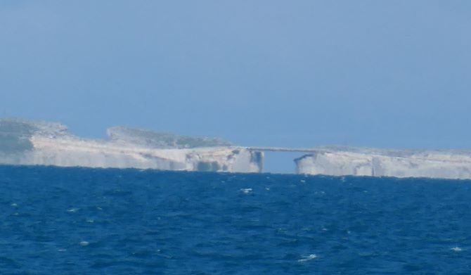
About ten miles south is another sliver cut, this one on the side of the “ↄ,” literally a gap between the seas. Called the Glass Window, the manmade bridge replaced the original natural bridge that was destroyed by a hurricane. Then the manmade bridge was shifted by another hurricane and now only allows one lane of traffic. Todays’ winds didn’t cooperate for anchoring nearby, so on this trip all we got was photos from about five miles away. We’ll put it on the list for next week (or next year…)

As we move down that long side of the “ↄ,” there are several harbors that provide safe anchorage. We chose Alabaster Bay. Hey we liked the name, but more importantly it provided protection from the waves that were coming from the northwest. After some poking around for the best wind and wave protection, we settled down for a relaxing night in a lovely spot. Actually we’d like to return to Alabaster Bay for some beach combing, but for now we are scooting down the coast to get to Rock Sound by Thursday so we can tuck in before the weekend’s predicted high winds.
