Day 1: A Water stop
It was tough to leave the Raggeds, but, we’re all adults here (for the most part). When it’s time, it’s time. And Friday morning was the time to begin our two-day journey to Long Island.
The trip north…
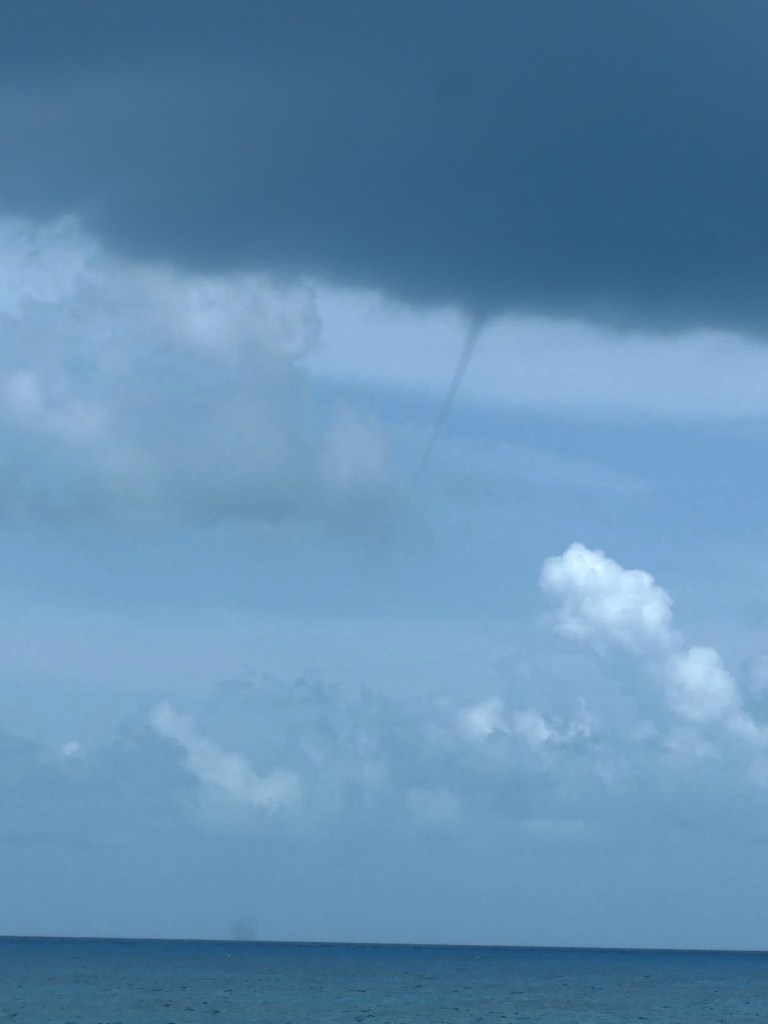
..was different from our path south, when we’d gone “outside” into the Atlantic. This time we stayed behind the Jumentos. Use those barrier islands wisely. Some do the job well, and as we smoothly passed, we said, “Nice, let’s come back one day to explore!” Then, there are the others – so tiny and spread out, they provide very little protection. We’d chosen a good day, however, and had insistent, but small, seas. There was even a fascinating waterspout to our port side for awhile (safely in the distance).
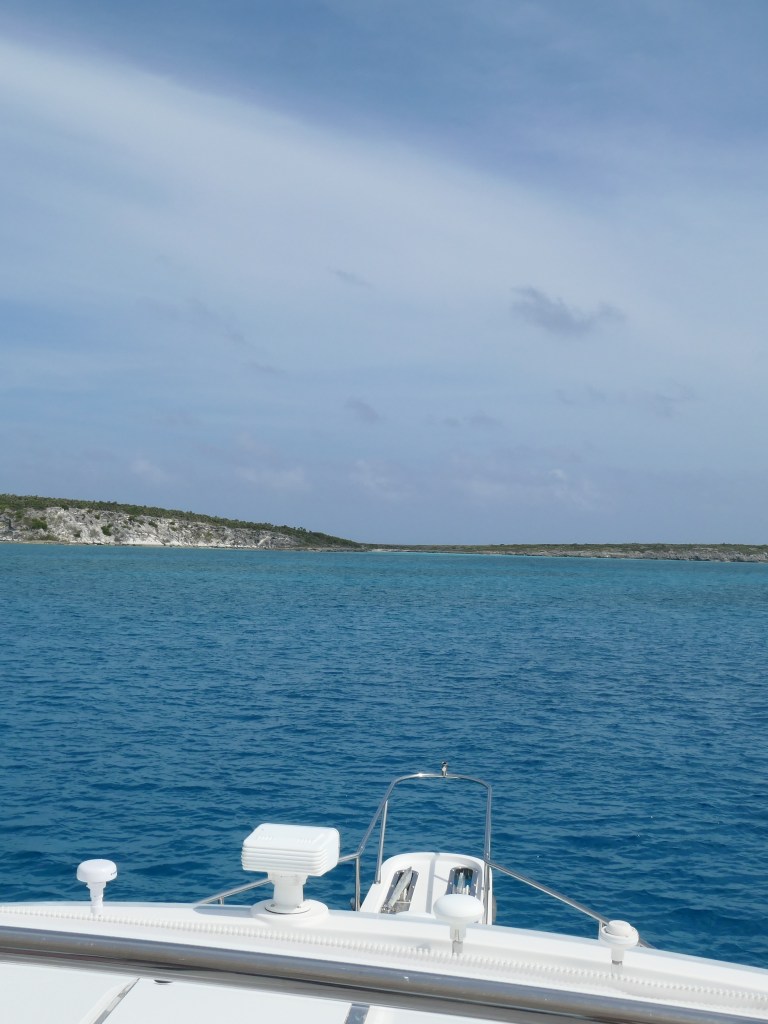
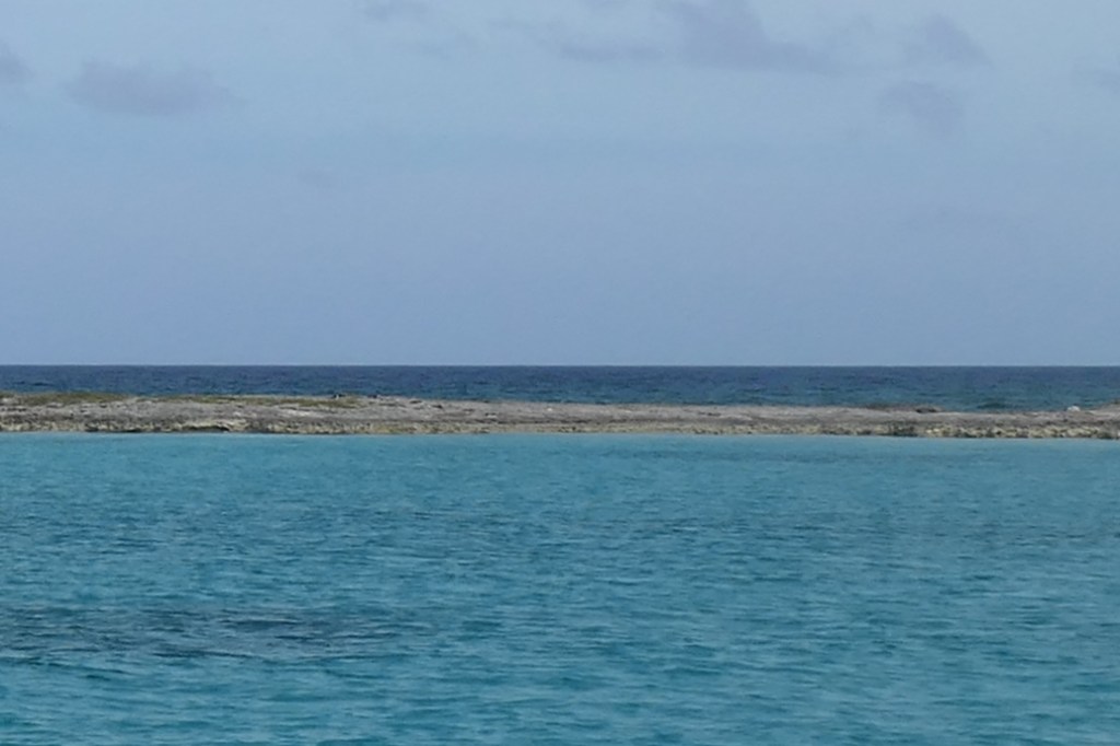
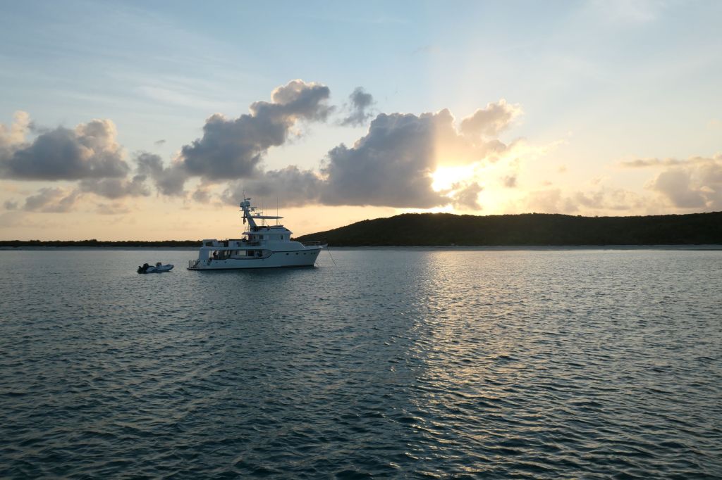
We anchored on the southern end of Water Cay, tucking into a small cove with a thin rim of island between us and the ocean. Tried to photograph the difference in water state and color, but once again, cameras don’t always capture what the eye can see, and certainly not what the ear can hear. That little rim was doing its job!
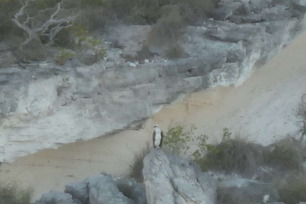
Water Cay, as mentioned previously, is a preferred anchorage for local fishermen. Note the contrast below. One a successful, vibrant operation. The other? Graduates of Todd’s School of Fishing?


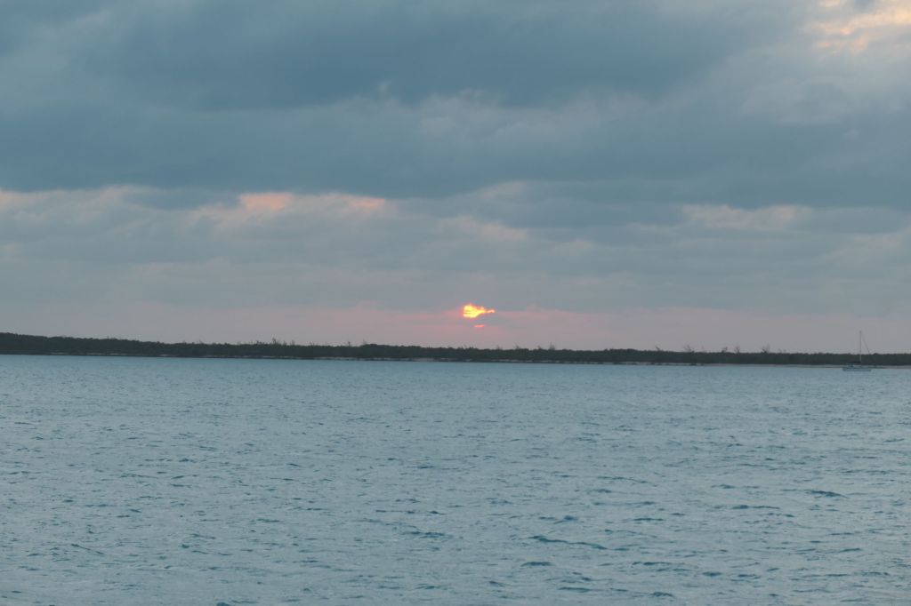
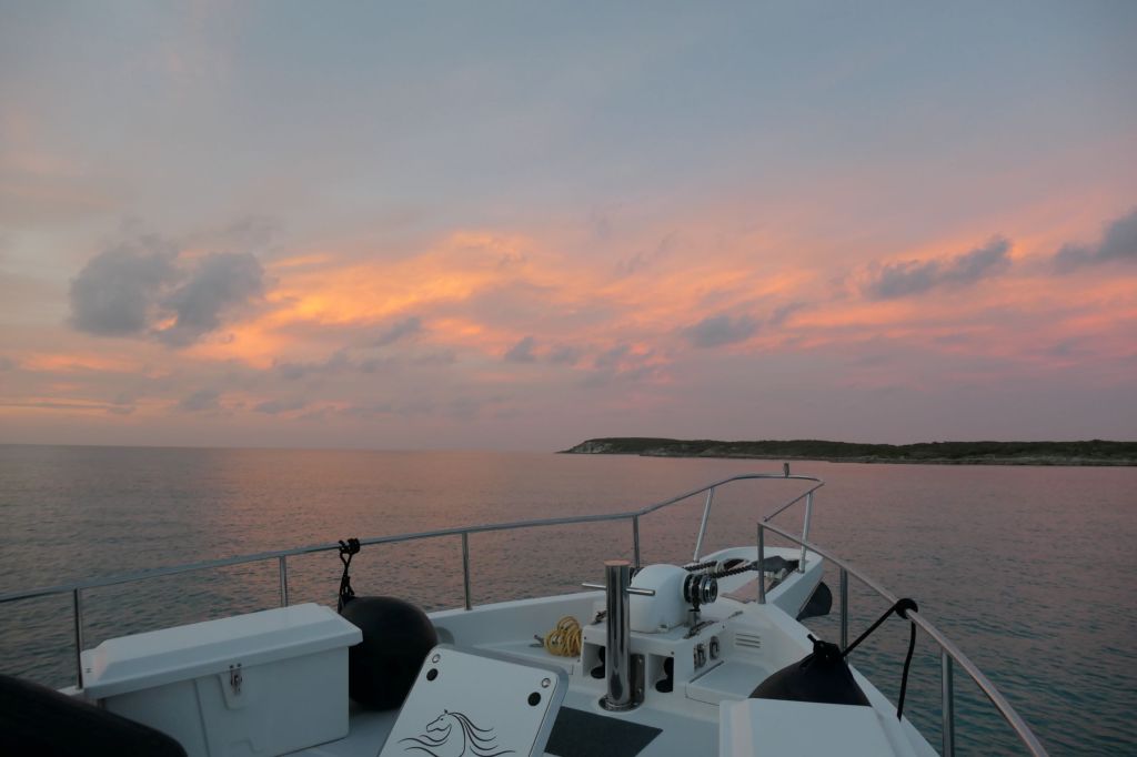
Water Cay also provided a stunning post-sunset sky to wrap up our long travel day!
Day 2: Not that Long Island
After a peaceful night by Water Cay, we headed north across the bank toward Long Island. The air was warm and sultry ahead of the coming cold front.
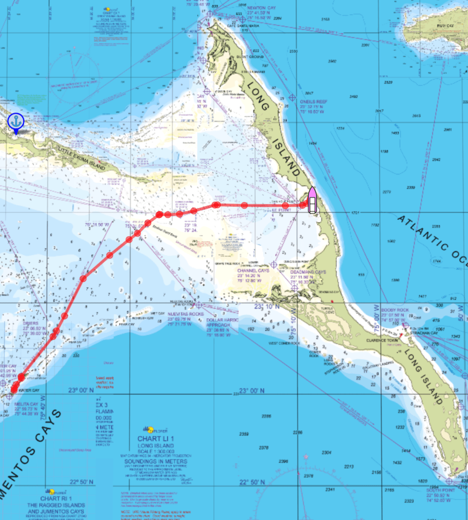
Near the center of the chart, our route crosses a shallow section (white and yellow are bad – that’s sand and/or very shallow water at low tide). We timed our departure to reach that section at mid-tide and cross it on the rising tide. Good plan.
Also, you might notice to the left of center, our route cuts the corner instead of following the known straight-line path (referred to as the “magenta line”). This is an example of modern “auto-routing” software taking a “seems okay” shortcut.
The seas were light, as expected, and we were making good time. As it turns out, too good. We got to that auto-routed “shortcut” ahead of mid-tide and scraped the sandy bottom a few times – Doink! – before we could return to the magenta line so Susie could resume breathing.
We slowed way down to await more water, which came in a few minutes with the tide and a squall that dumped rain on us. Thank You, Lord, for the water! Seems like that front was catching us!
Two lessons reinforced on the captain. First, thoroughly review all points along a route, sticking to the established paths. Second, once underway, adjust speed to maintain the planned tide-related arrival times, even if it means slowing down. Who said cruising was all fun and games??
Long Island, Bahamas
Originally named Yuma by the Lucayans who used to live here. Same sad story, thought to be Columbus’s third stop, enslavement and disease wipes out the locals, and years later, after the U.S. revolution, settlers come. Here’s what’s funny. They came from New England and New Jersey! So maybe, this is that Long Island! 🙂
It’s l-o-n-g, more than 80 miles, and not more than 4 miles wide. Famed for its farms, both agriculture (peas, corn, and bananas) and livestock (pigs, goats, sheep, chicken, and cattle). And, ready for this, it is also said Long Island has the best-looking folks in the Bahamas!
We are in a large anchorage in Thompson Bay along with about 25 other boats, and have full connectivity! There are more trawlers (rather than sailing vessels) than we’ve seen anywhere else, but it isn’t crowded at all. The sunset Saturday was muted by clouds associated with the cold front, but we celebrated our safe arrival nonetheless and have made full use of that connectivity to catch up with the posts!