One important geographical feature we haven’t talked about is the Tropic of Cancer. Huh? That’s right, remember from school? The line on the earth that marks the northernmost point at which the sun is straight overhead at noon! Below the line, you’re in the tropics (more sunscreen, Susie); above, nope.
There is even a beach on Little Exuma named Tropic of Cancer Beach that we went “blazing” past (all 7 knots) a few weeks ago while headed south and didn’t realize it. Heck, we were way below it in the Jumentos and the Raggeds.
Until we got to Long Island, we hadn’t given it any thought. The line moves around a bit through the years, but it is generally N 23 26’, which cuts right through the upper portion of Long Island, so we continue to be below it where we presently sit in Thompson Bay. That concludes the refresher lesson for today. 🙂
The Shrimp Hole
Now we owe you something about the “Shrimp Hole.” What, you may ask, is a shrimp hole? We were certainly curious.
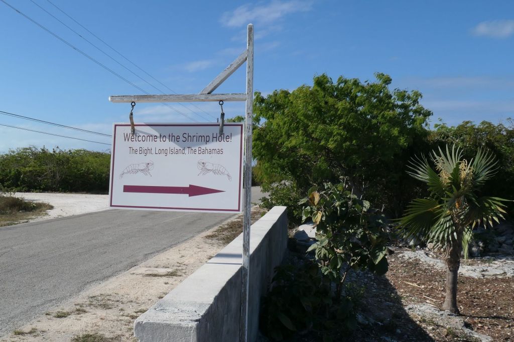
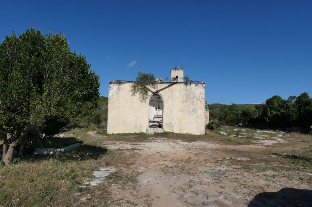
In yesterday’s post about the churches, we mentioned that when you turn off the road at the sign for the Shrimp Hole, you arrive… here… at the ruin of Saint Mary the Virgin Anglican Church.
Fantastic, but what does that have to do with shrimp??
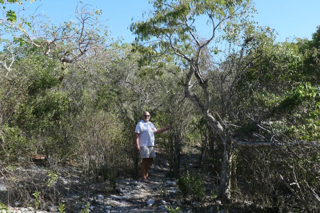
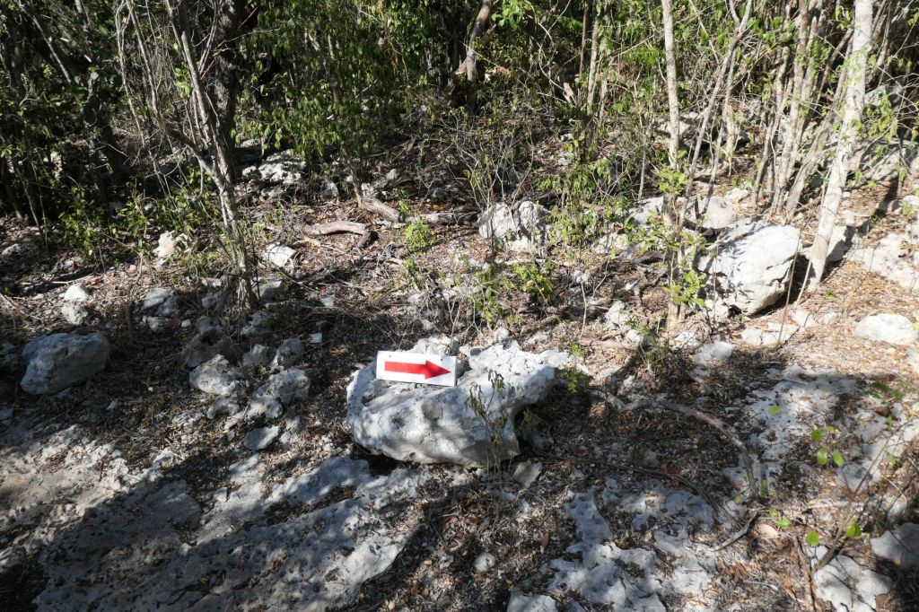
Well, behind the church, there’s a path that,

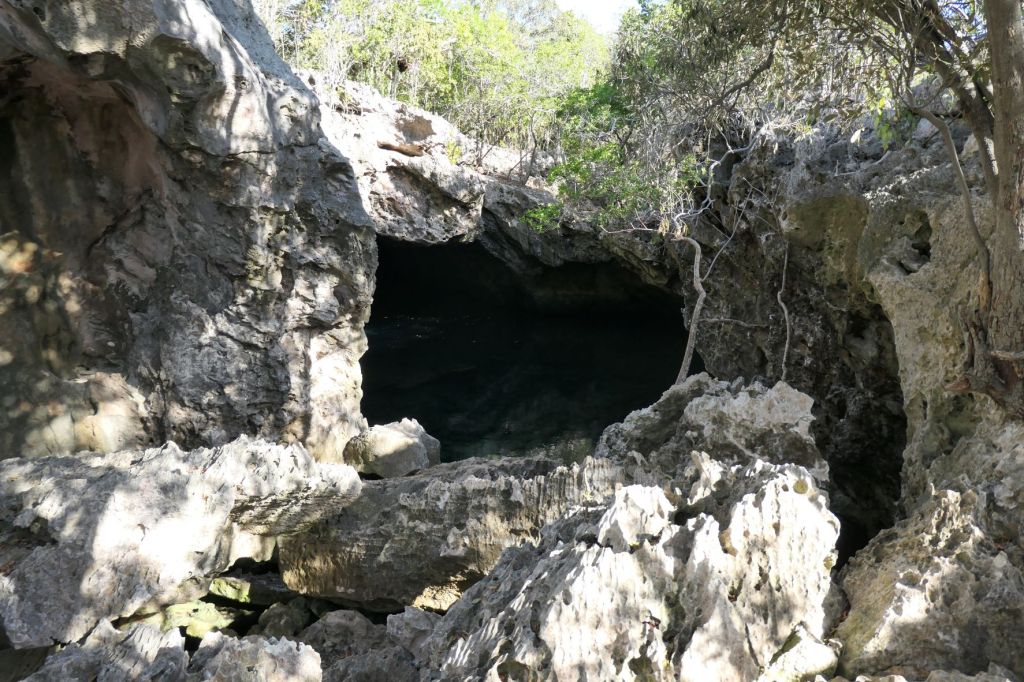


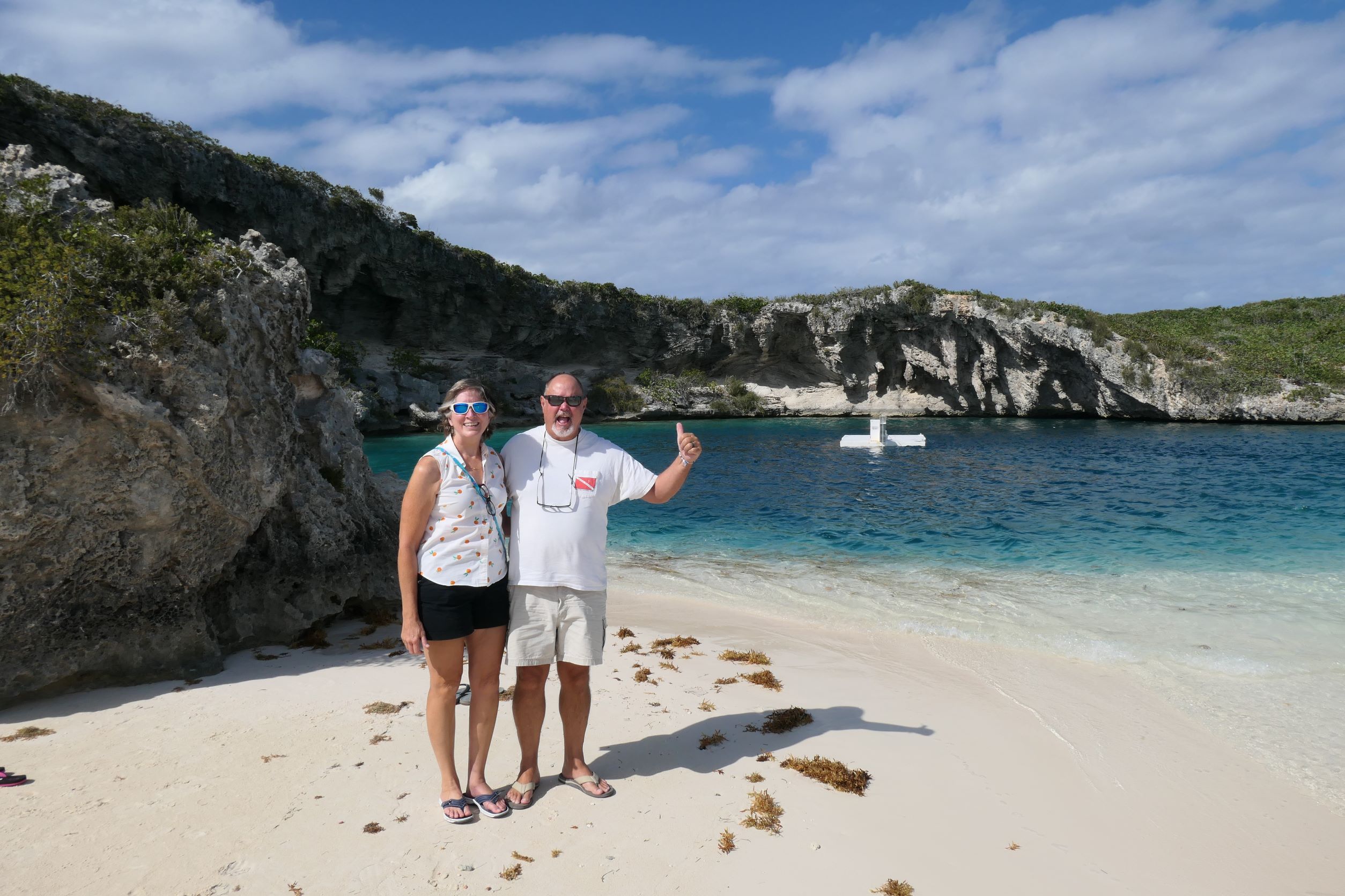
Inland pools like this are special and called “anchialine.” Several of the islands in the Bahamas have them. The little red shrimp are thought to be the Sterrer’s cave shrimp. Fun little guys! Wish we’d brought snorkel gear and the underwater camera. Ah, exploring is fun!
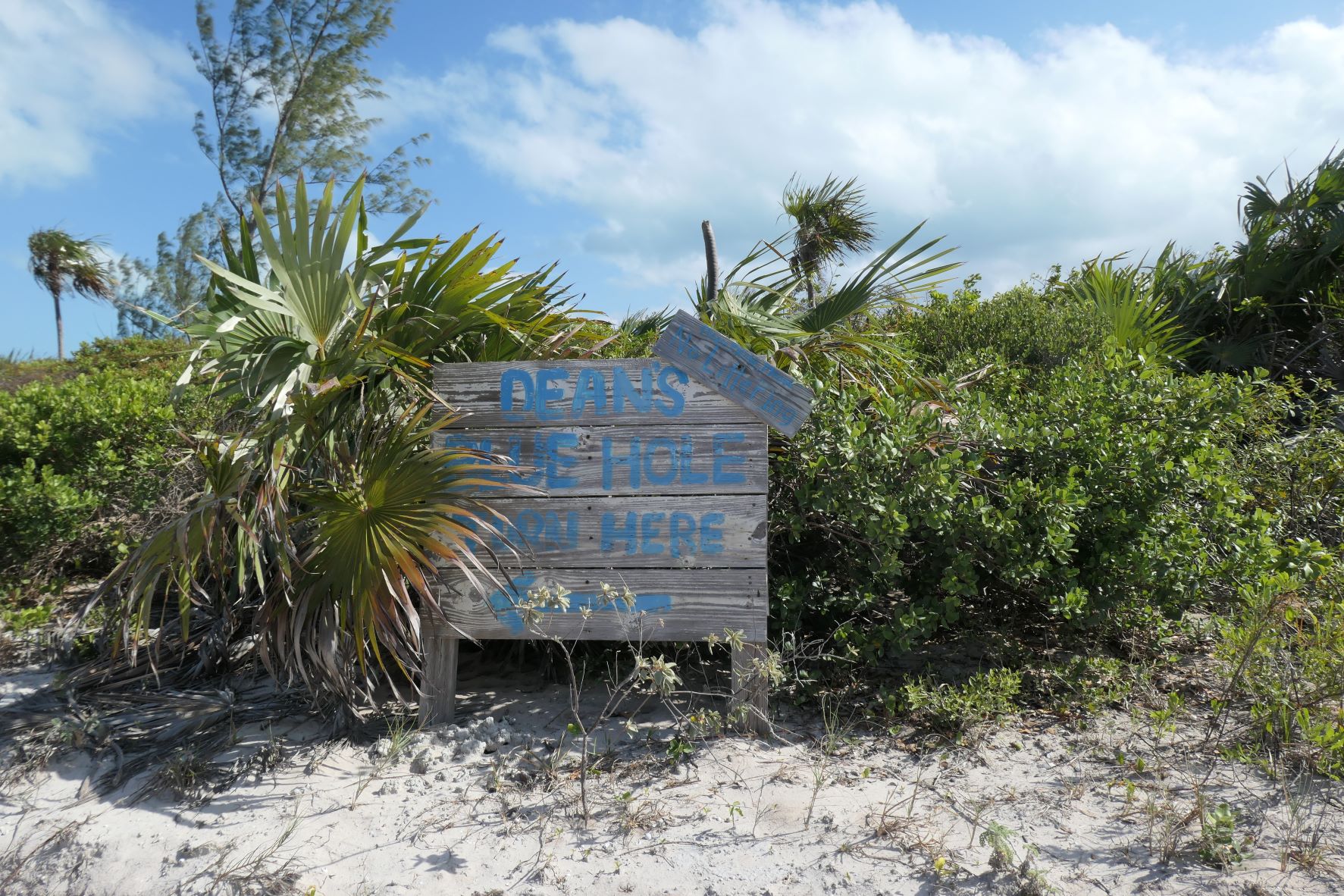
Dean’s Blue Hole
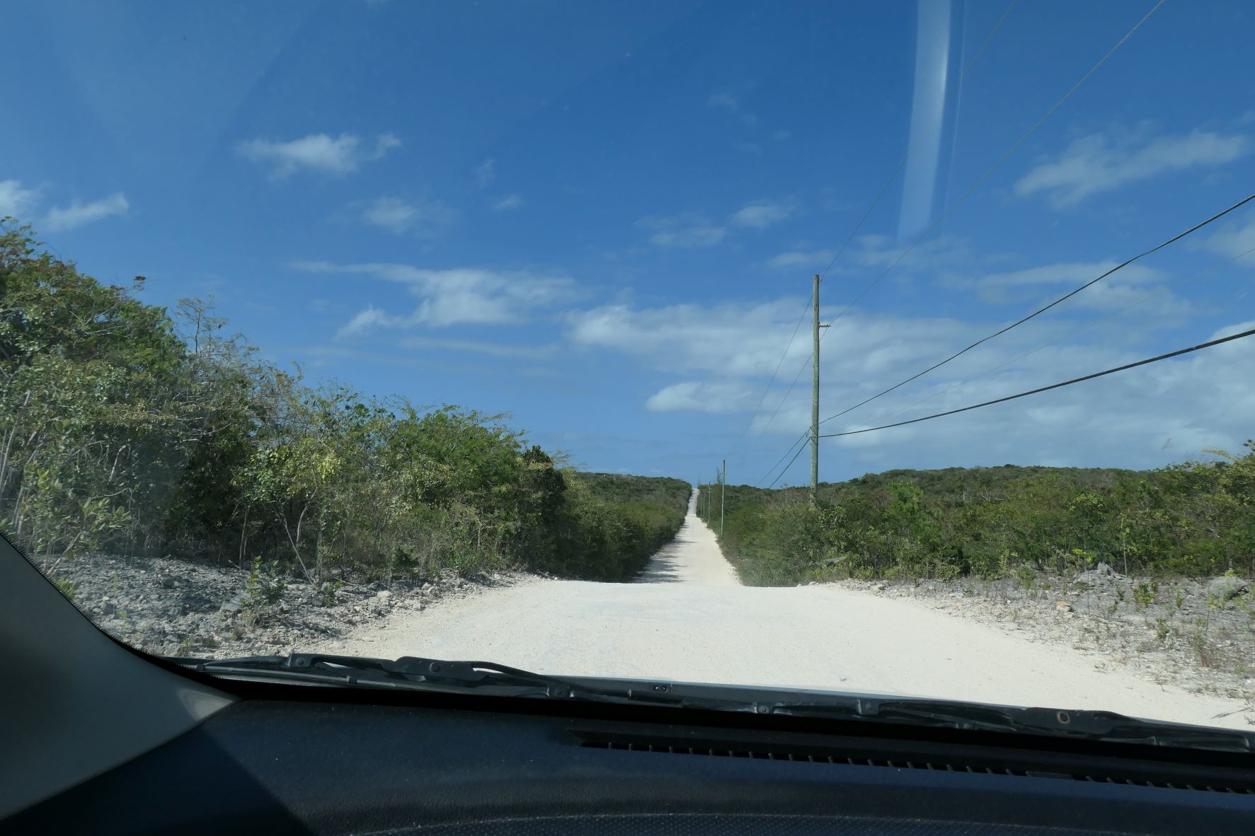
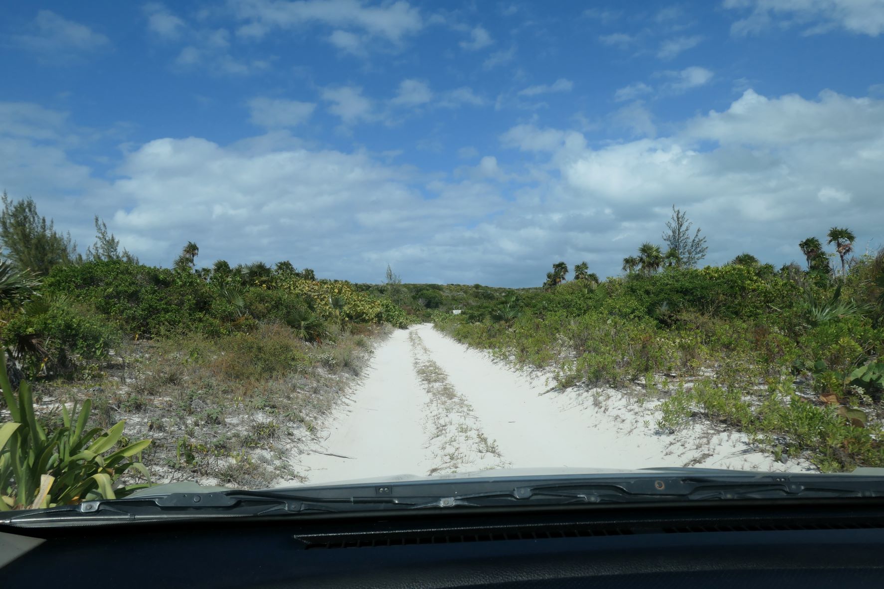
After the Shrimp Hole we found the long, unpaved road to Dean’s Blue Hole – one of the deepest salt water blue holes in the world, at 663 feet. The underwater room below the entrance is the 2nd largest known in the world! It’s used for attempts at very deep free diving. In fact, after breaking the record in April 2010, professional William Trubridge, extended the record in December 2010, when he swam to a depth of 331 feet (101 meters) on a single breath while using only his hands and feet for propulsion. Lord howdy, really can’t imagine; the drive is bad enough.
Again, someone wishes he’d brought his gear!
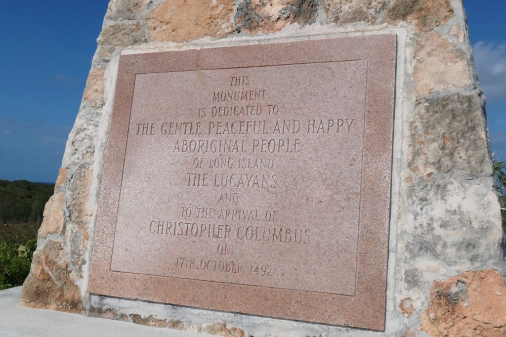
Columbus Monument
We finally headed way north to the very top of Long Island to visit the Columbus Monument; yep, another “Columbus landed here” spot. The plaque on this one mentions the “happy aboriginals, the Lucayans” first and then a visit by Columbus. Well, we know the story.
When government in Nassau built Monument Road in December 2020, boy did they build it! The barely maintained, two-lane main road that runs the length of the island, hangs a left onto the brand new, spiffy, with road signs, Monument Road that leads to an actual marked parking lot! Easily, it was the best road we’ve seen in the Bahamas.
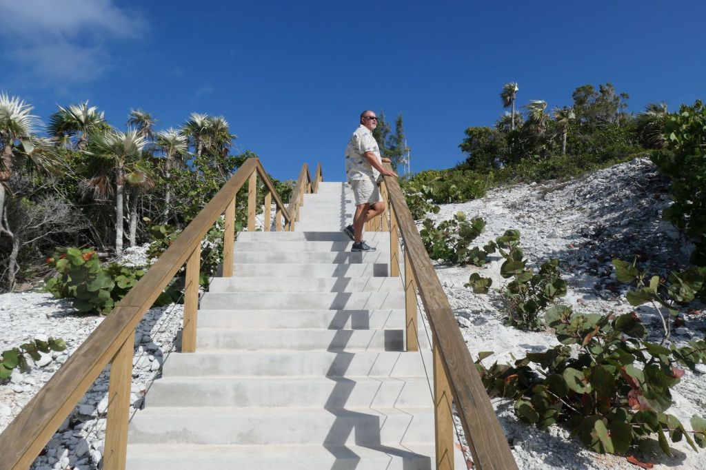
Up to the top of the hill 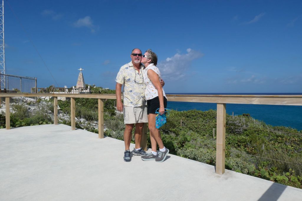
We made it!
Actually, not yet, Honey. The monument is behind us, on the other platform.

Beyond Here There Be Dragons?
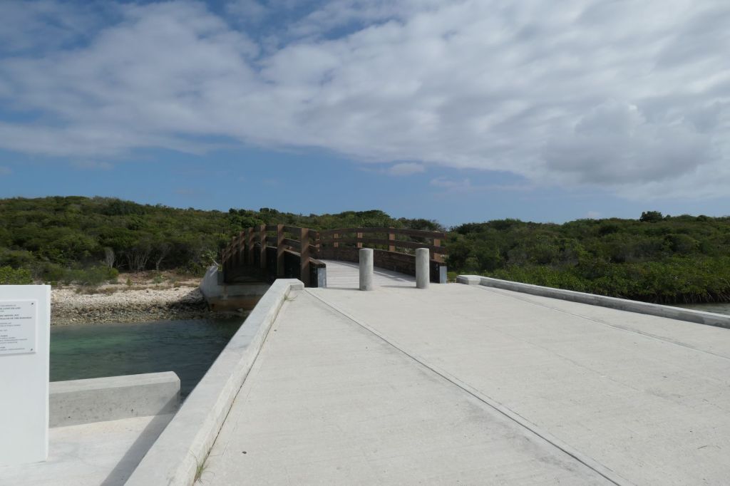
We were now so far north, we decided to drive to the end of the mapped road (just to say we did). After making the last of the bumpy ride on rock and pot holes – certainly not the Monument Road! – we came to a little “park” complete with a “Cold Beer!” sign and… a brand new… foot bridge? Per the sign, the bridge goes to Newton’s Cay.
Okay, out of the car. We don’t need a beer, but we have to see what’s on the other side of this stout new bridge.
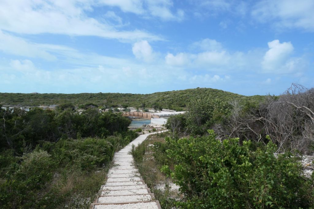
Looking back down the path/steps to the foot bridge 
NOW we’ve made it! The end of both the official road and trail!
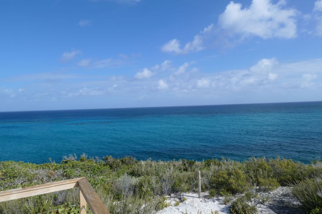
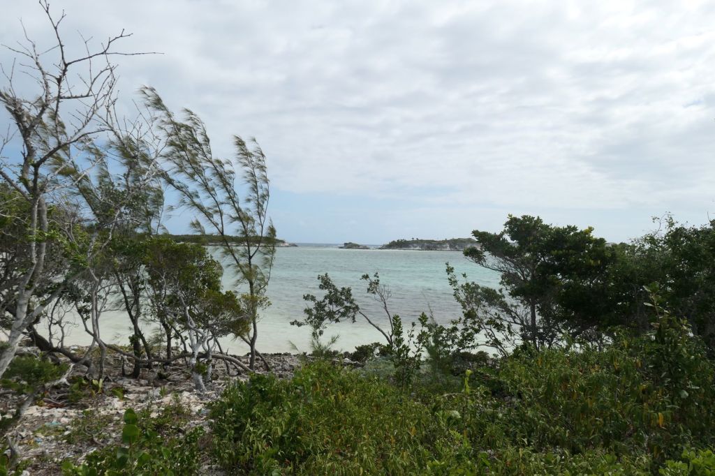
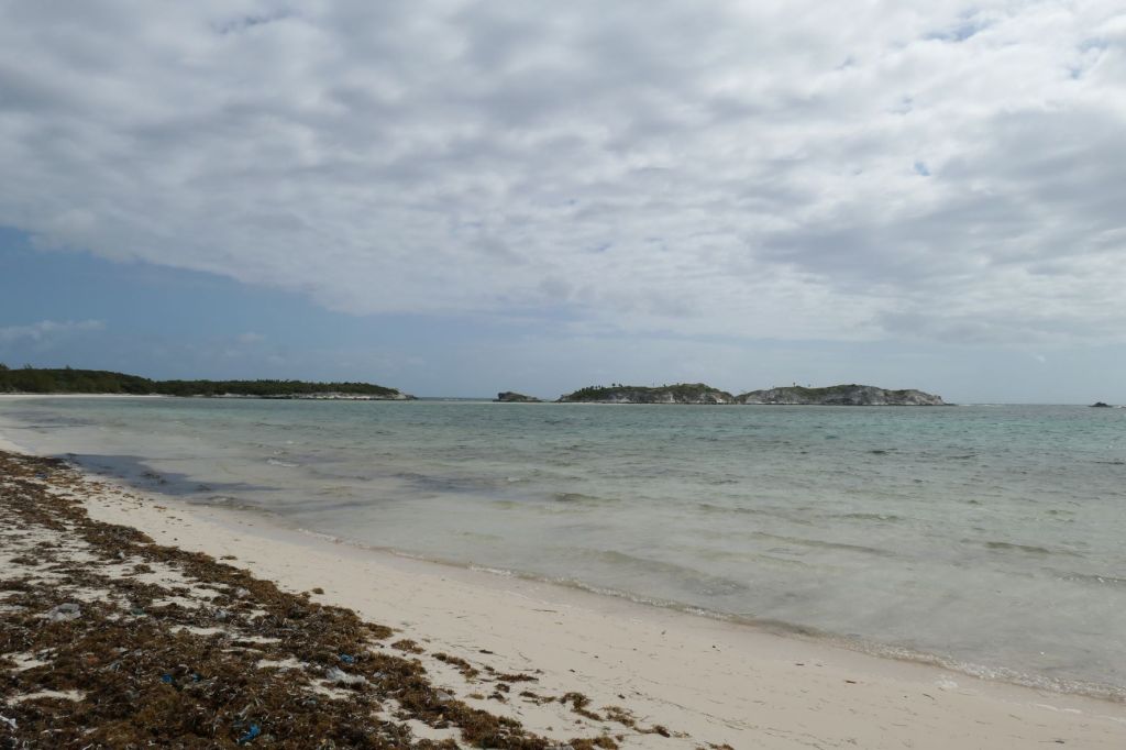
Just a few steps off the beaten path, however, there’s a natural beach! Imagine that!
Bet you’re thinking that surely must be all now, right? Well, we still have one more exploratory tale from our rental car adventure. Next post: Adderley’s Plantation Ruins. 🙂
