Northern Exuma

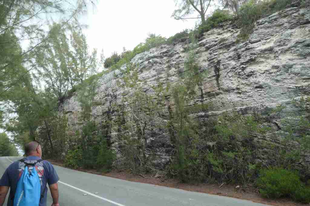
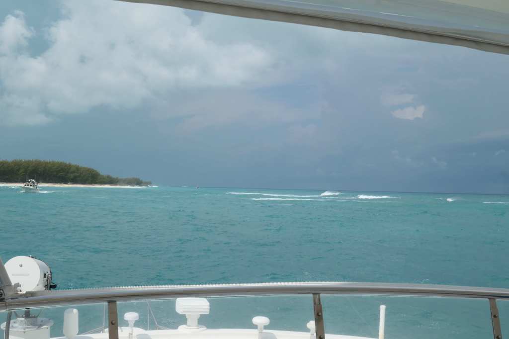
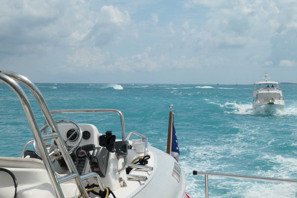
Accurately predicting weather and sea state is a crapshoot. We picked Thursday to make the 40nm+ run across the Exuma Sound from Rock Sound to the top of Exuma. The wind was at our back all the way. We were headed west, and so was the wind. Sounds good, right? Well, we’ve mentioned “fetch” before, as basically the longer the distance of water upon which the wind blows, the greater the effect. So, you guessed it, having the wind at our back meant the closer we got to our destination, the “sportier” it became. The last 3/4 of a mile was a doozey! Something all parties do not want to experience again!

Naturally, once we got behind the island of Ship Channel Cay, all was calm.

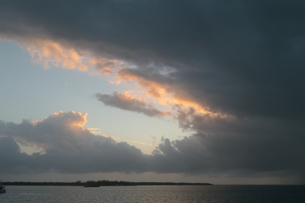
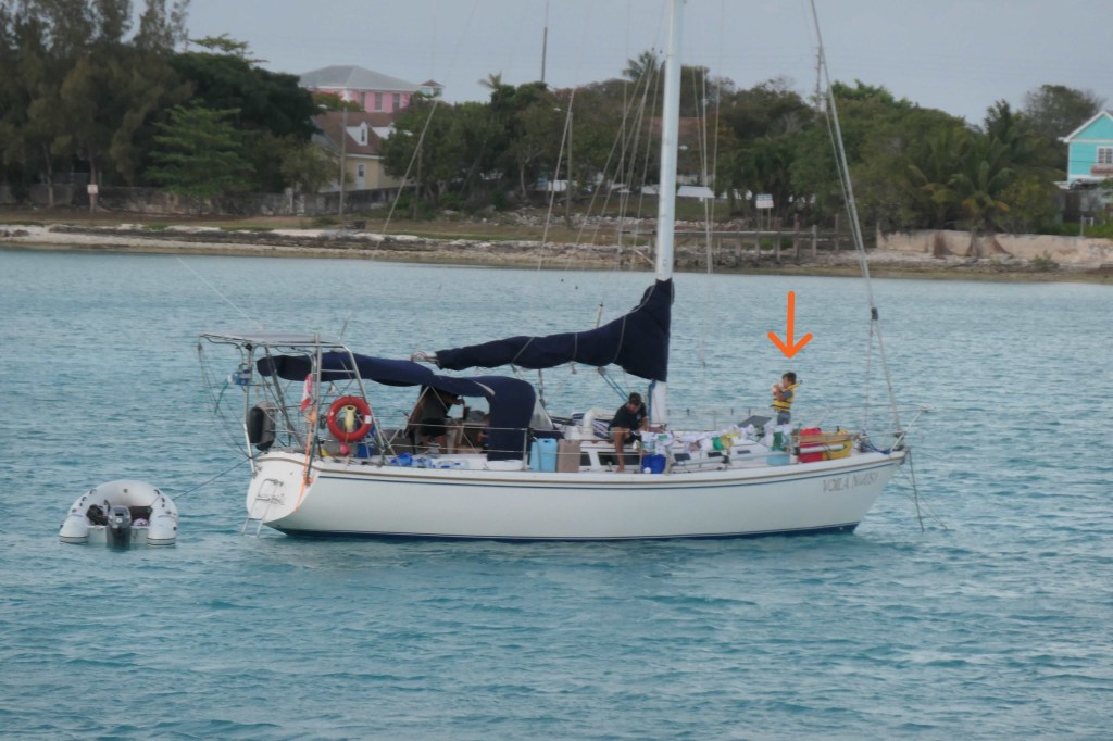
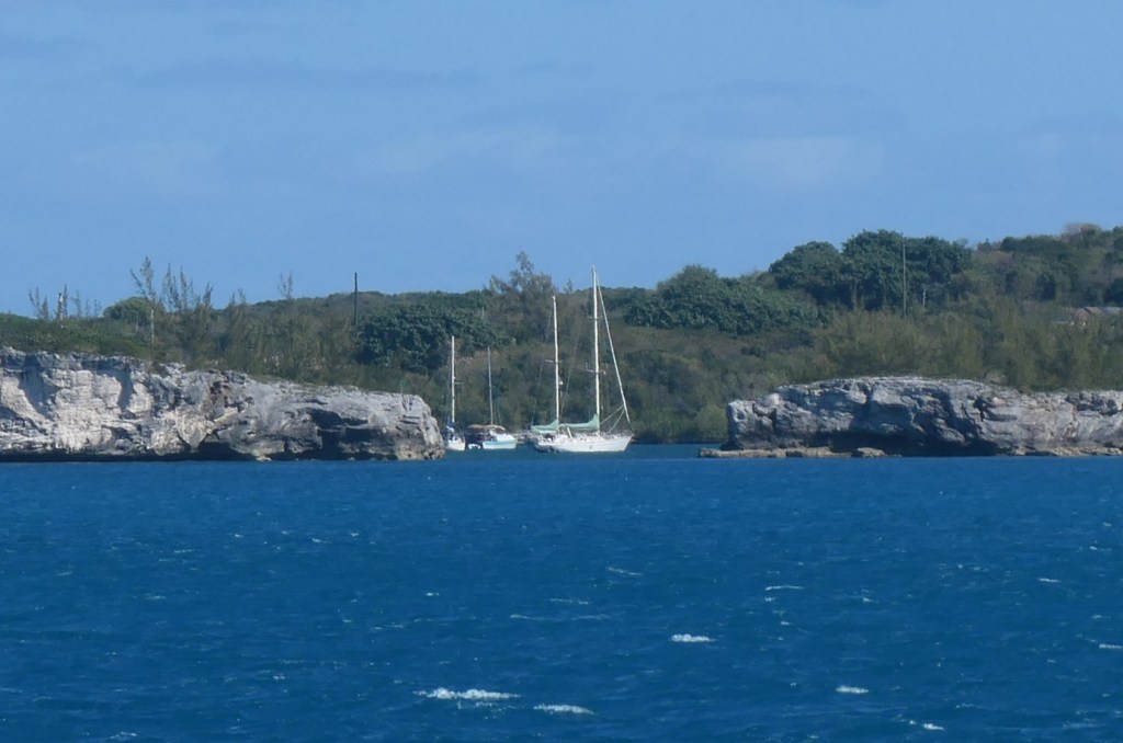
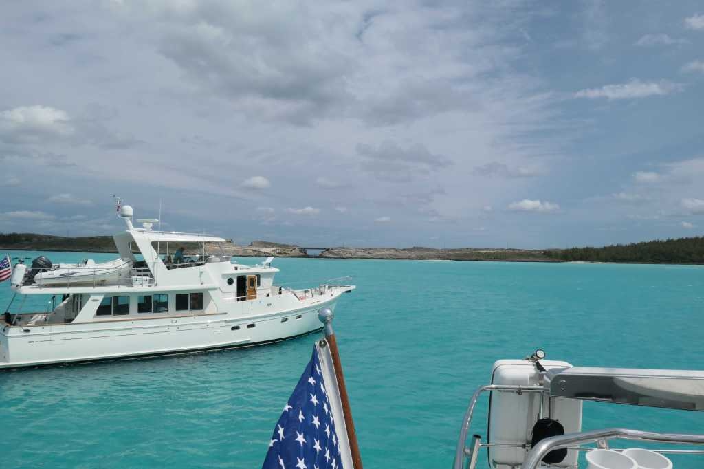
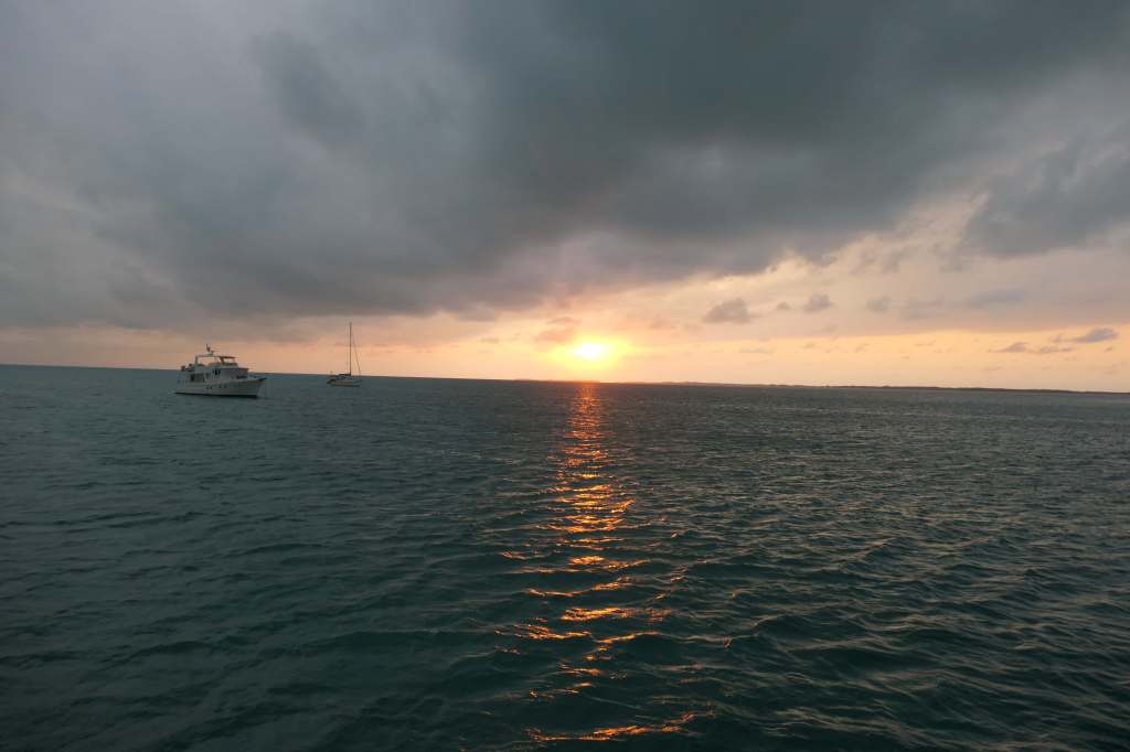
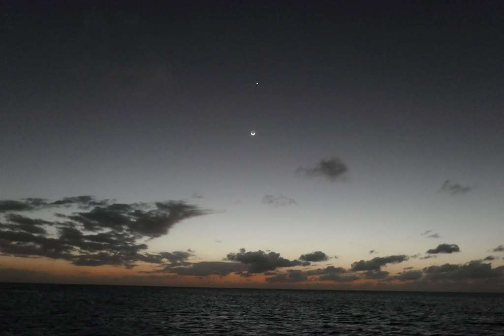
As the sun set and revealed the moon rising, a large yacht crossed the horizon to join us, bringing the number in our little anchorage to four.


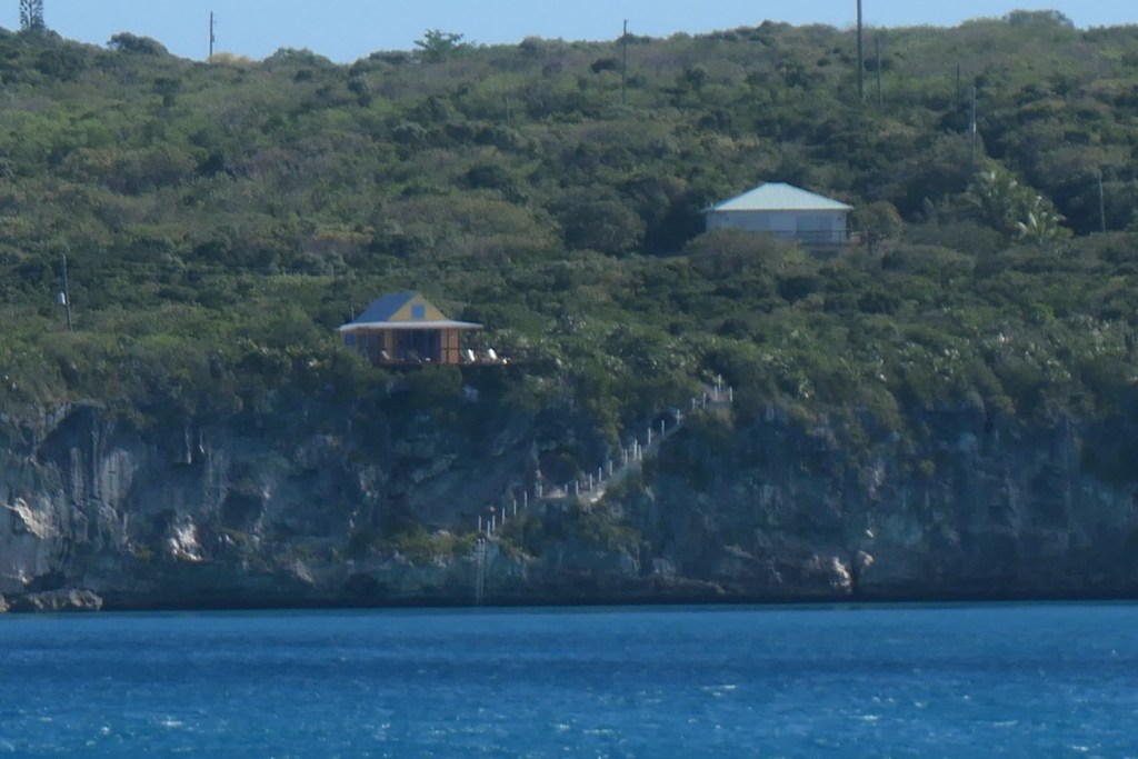
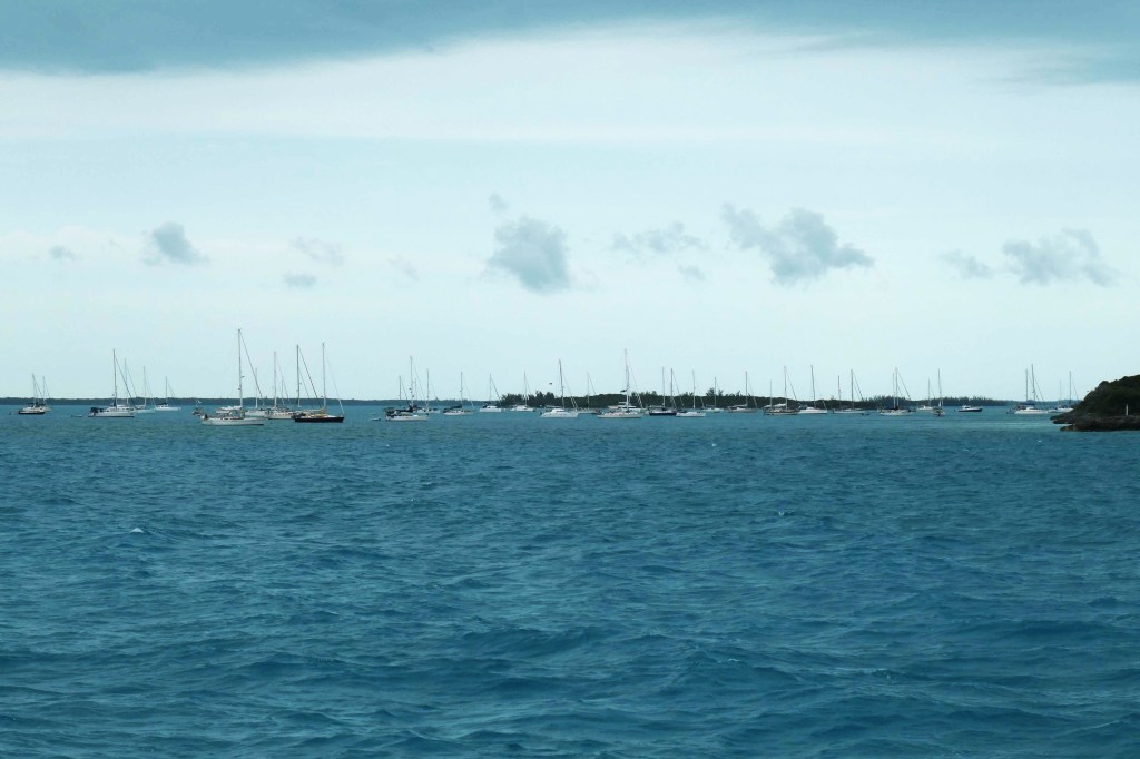
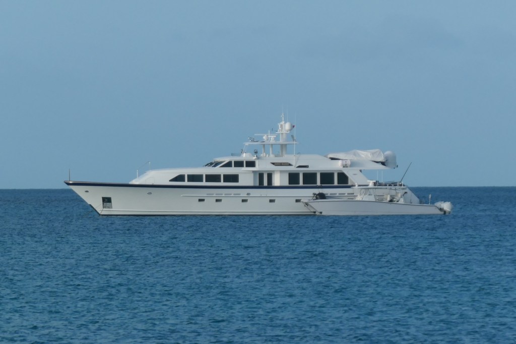
By light of day, we could see our new neighbor more clearly. We’re back in the Exumas, where there are an awful lot of LARGE yachts, making us once again small fish in a larger pond. Ha!


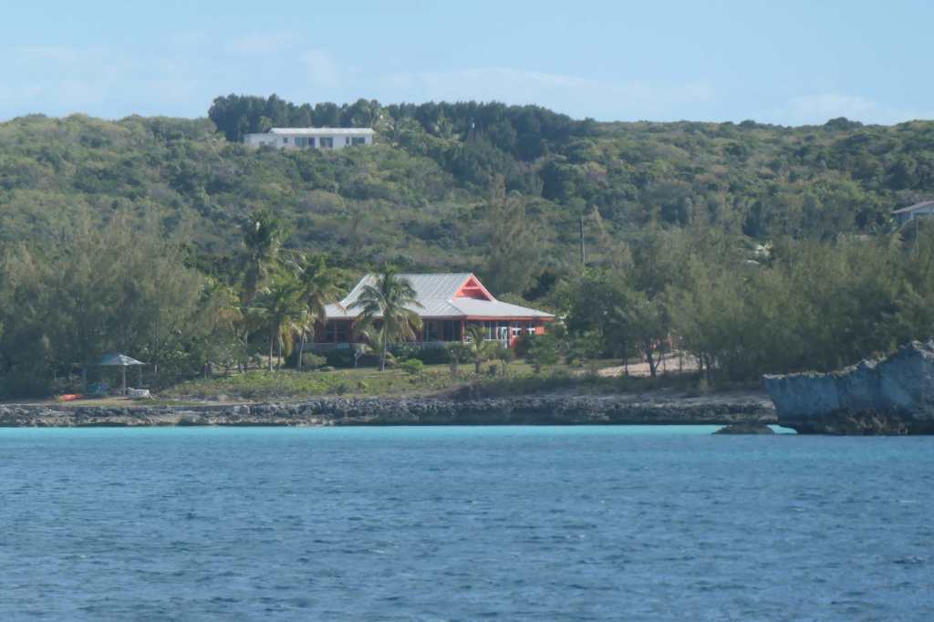
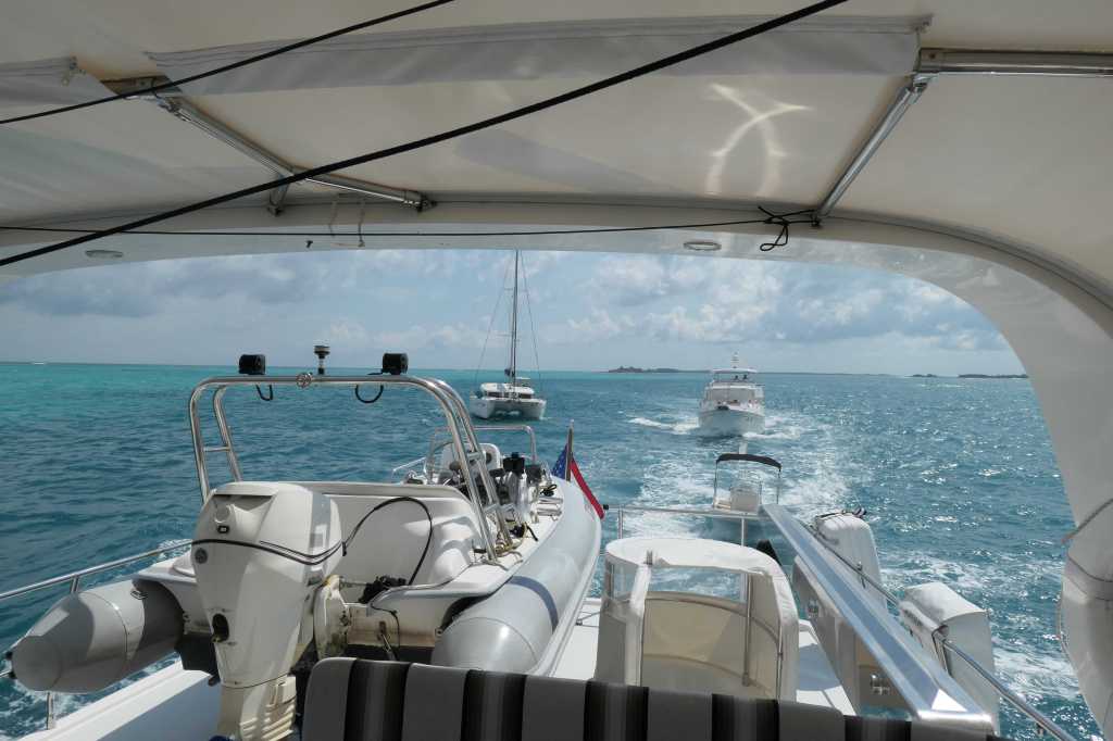
We’d planned to explore the north end of Ship Channel Cay, but there was a swell from the north that was a bit more than we wanted to deal with for a second night, so we chose to move on. We made a short cruise just south of Highbourne Cay, which is, for the most part, privately owned, thus no going ashore.

Since that would do nothing but frustrate us, we opted to anchor off Oyster Cay cluster instead, still in view of Highbourne and the mega-yachts and the “no-going-ashore” thing but more fun.

Looking at Highbourne anchorage


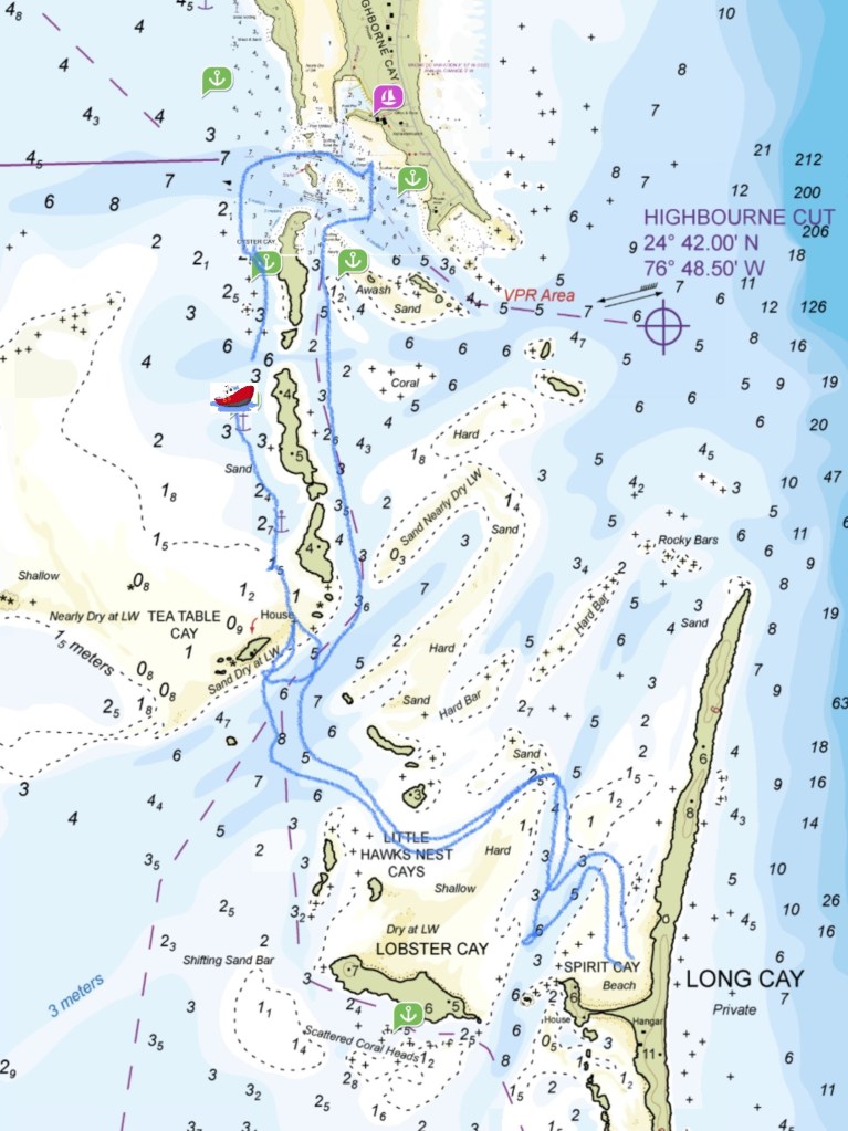
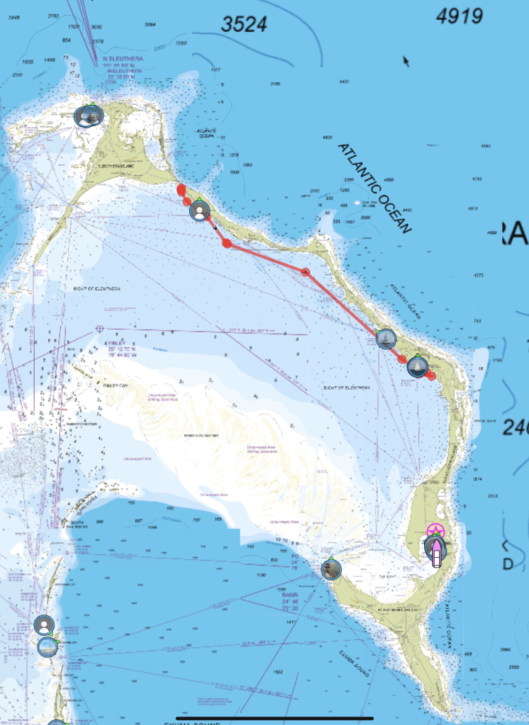
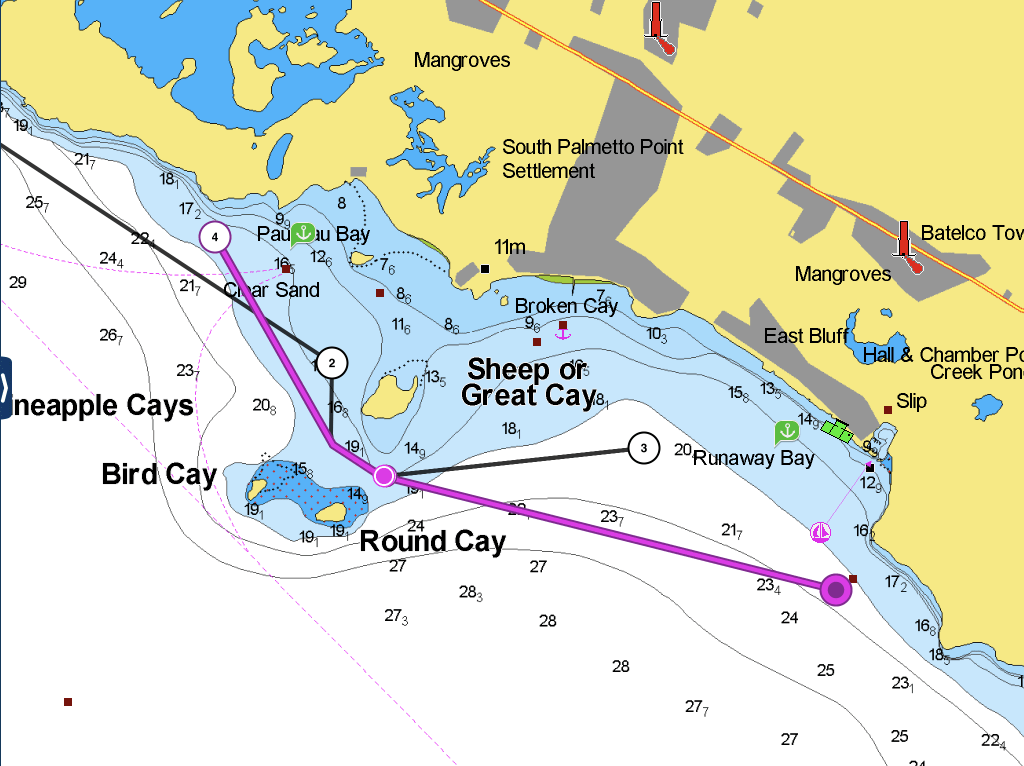
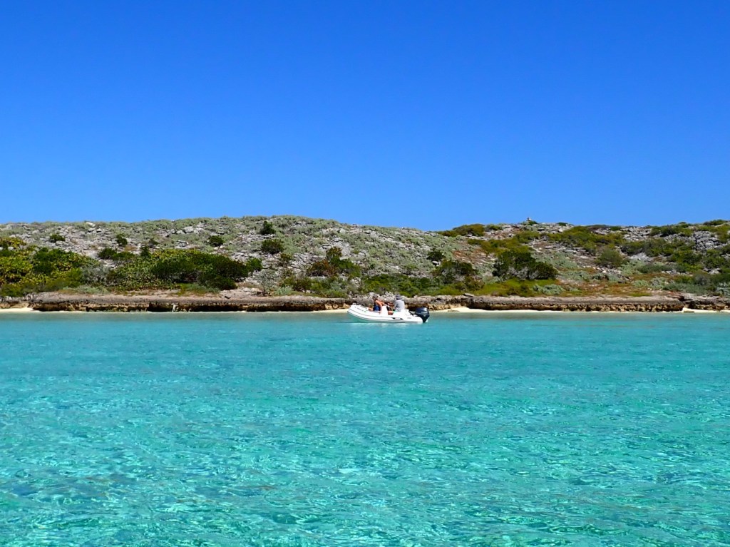
True to form, our small band of intrepid explorers headed out. Fortunately, our dinghies have some range, so exploring we went! The little red boat shows about where we were anchored, and the blue line shows our approximate travels by dinghy! First, we tried one of the beaches on Highbourne; silly us, it was marked “Private.” So, we headed to little Tea Table Cay (center left on the chart).

From the top of the chart to the bottom is about 2.5nm, so not a real long trip but not a short jaunt. The small depth numbers are in meters at mean low tide. And you can see our last stop in Spirit Bay on Long Cay at the bottom before we returned to the boat through the real shallow water.

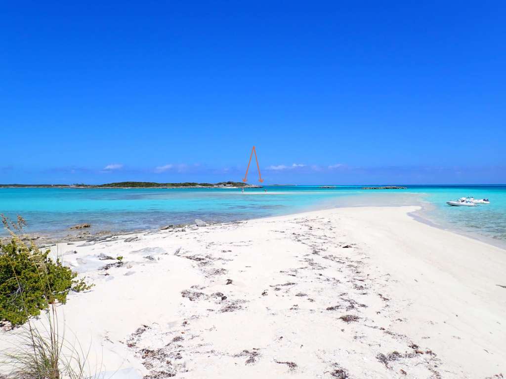
The first place we got off the dinghies was the sandbar off Tea Table Cay.


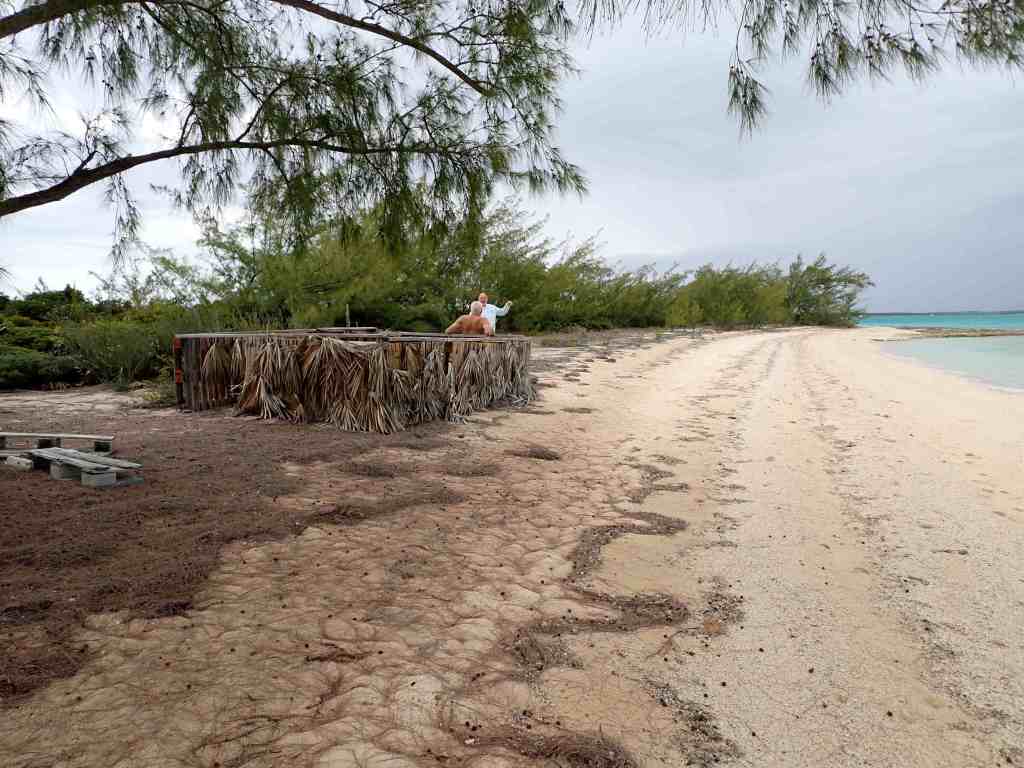
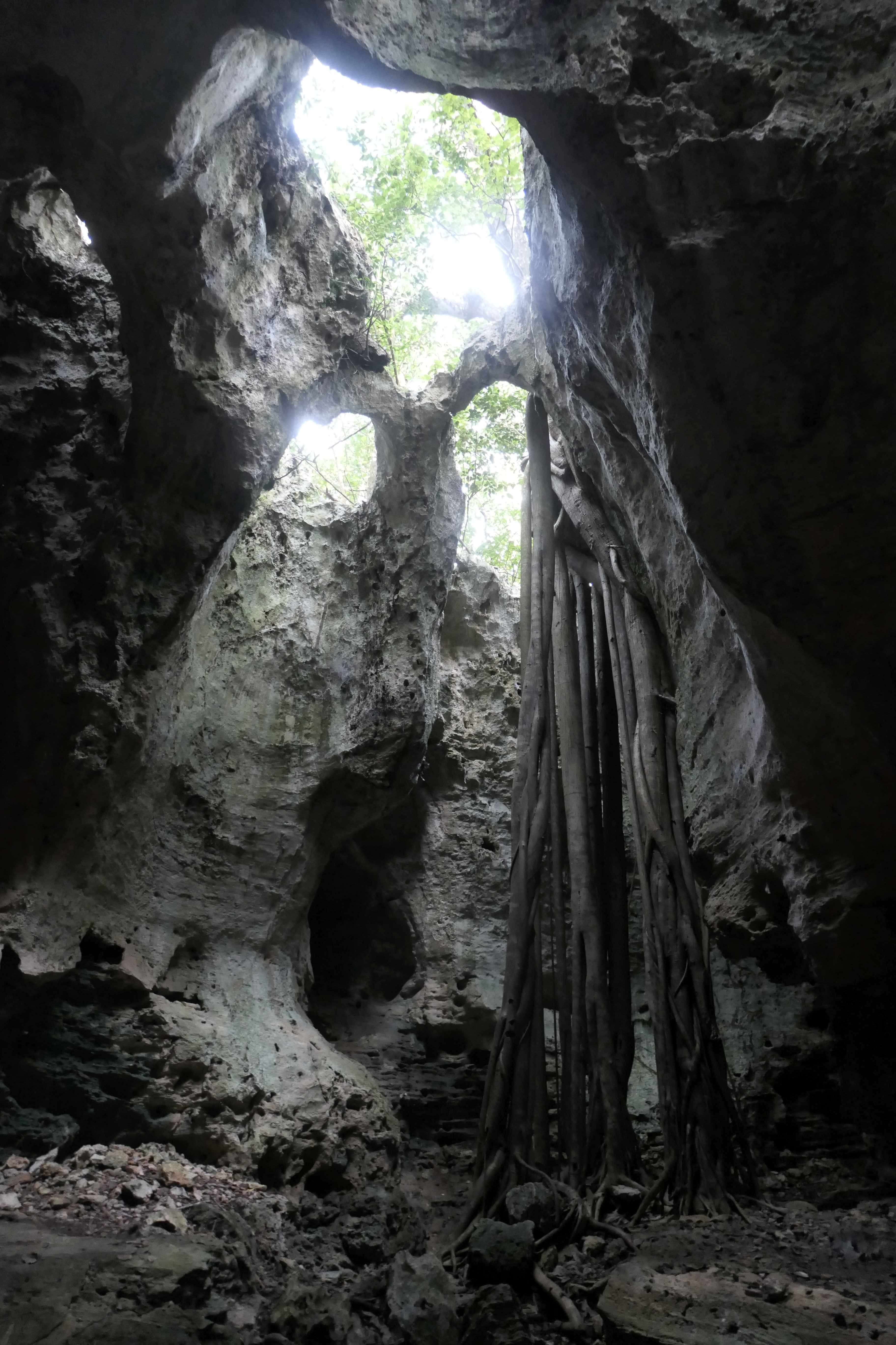
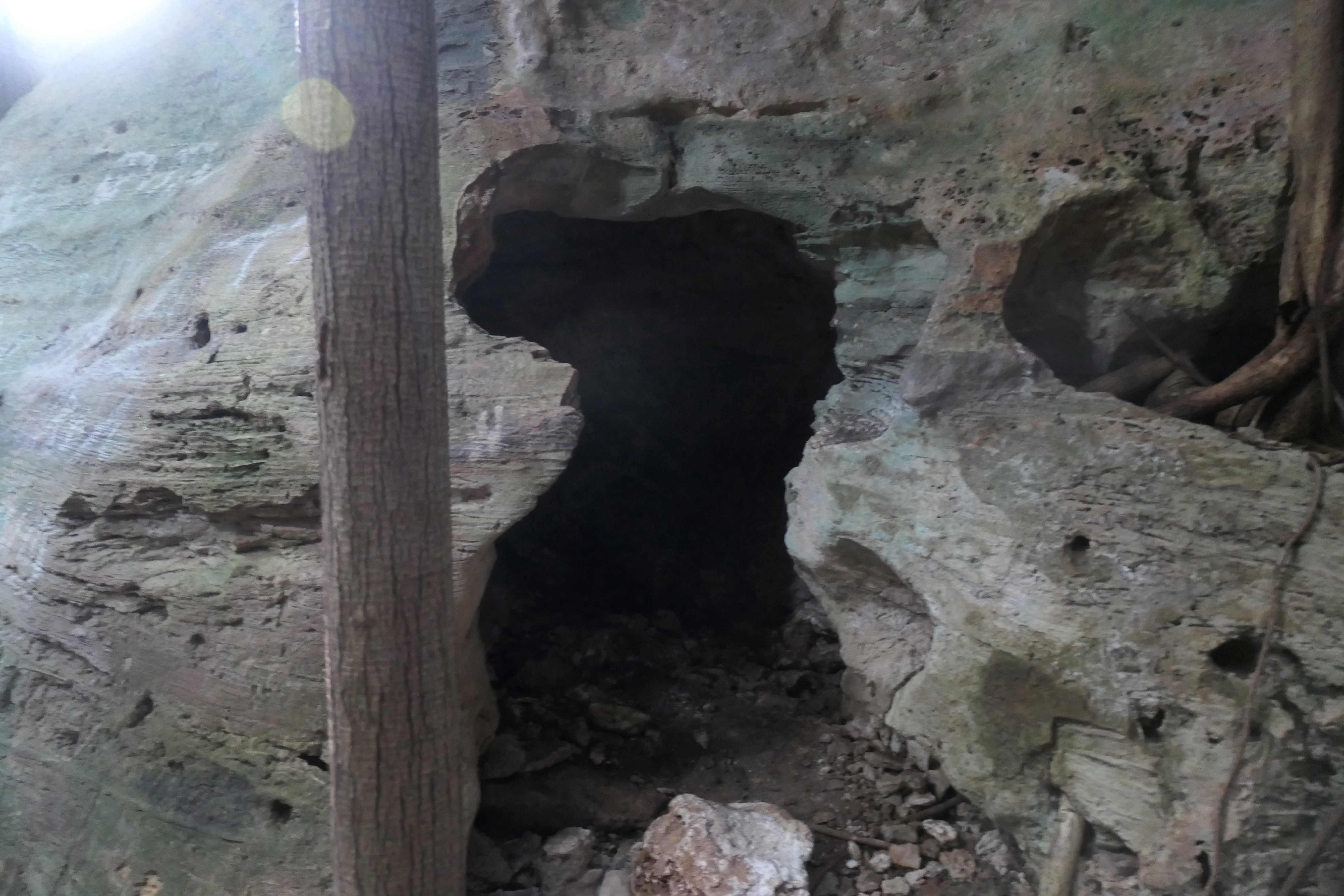
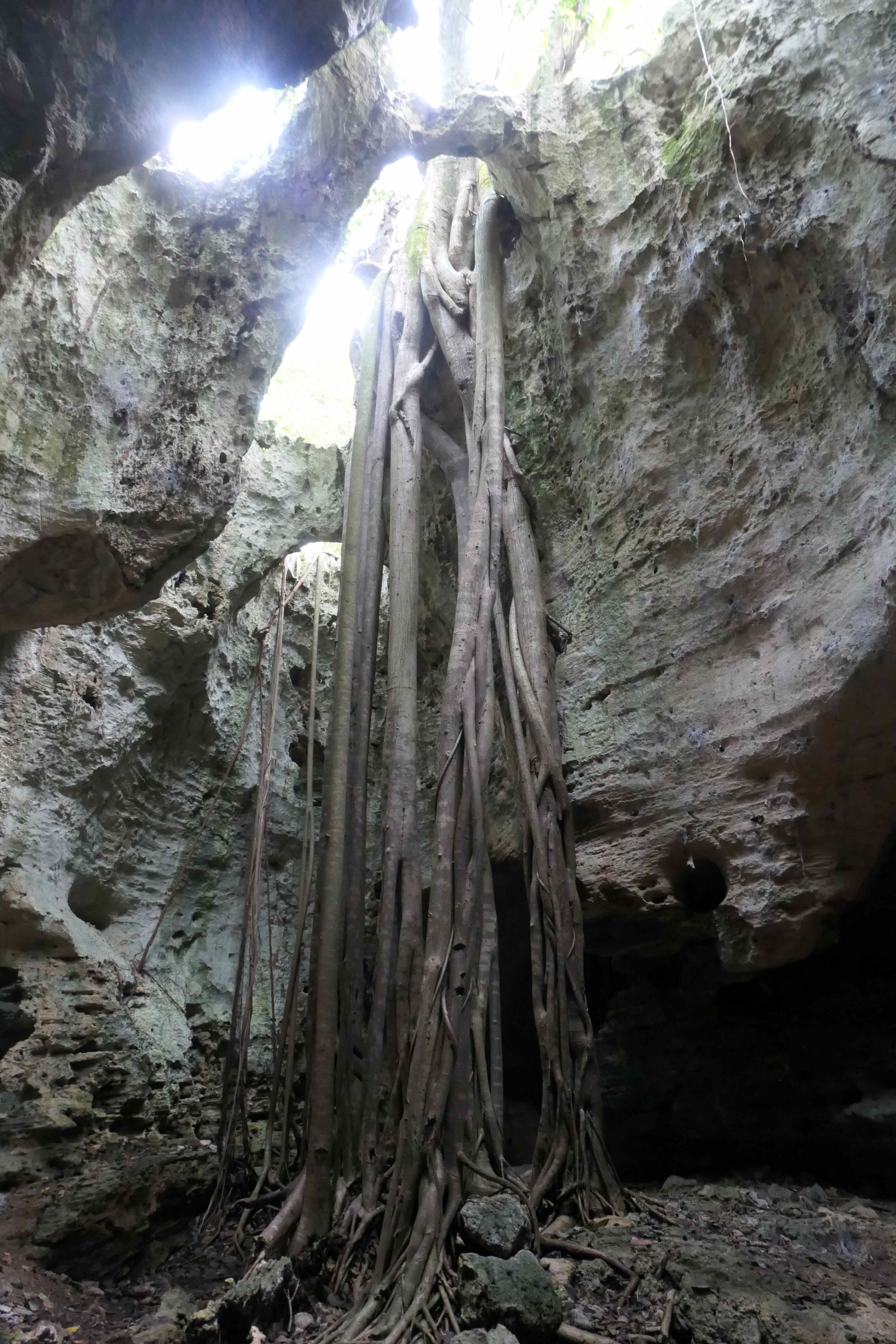
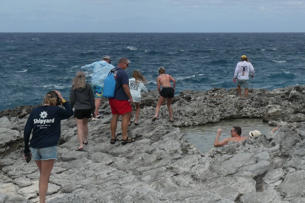
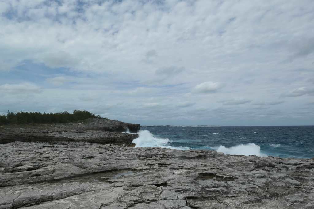
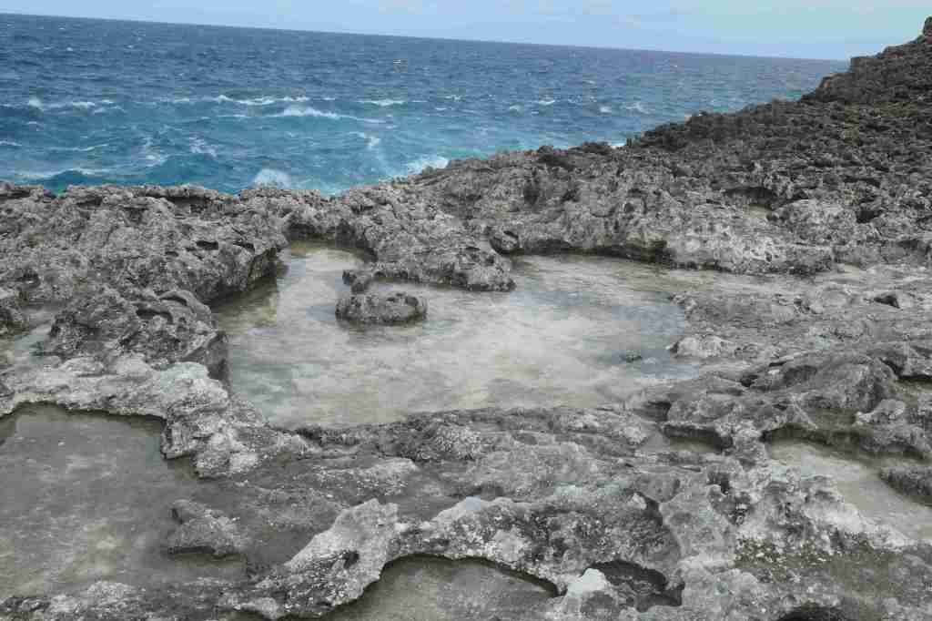
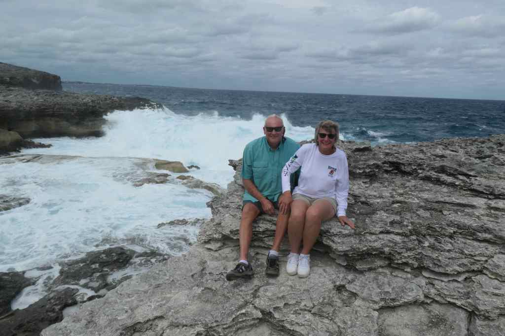
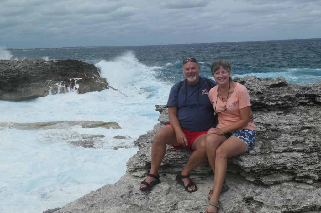
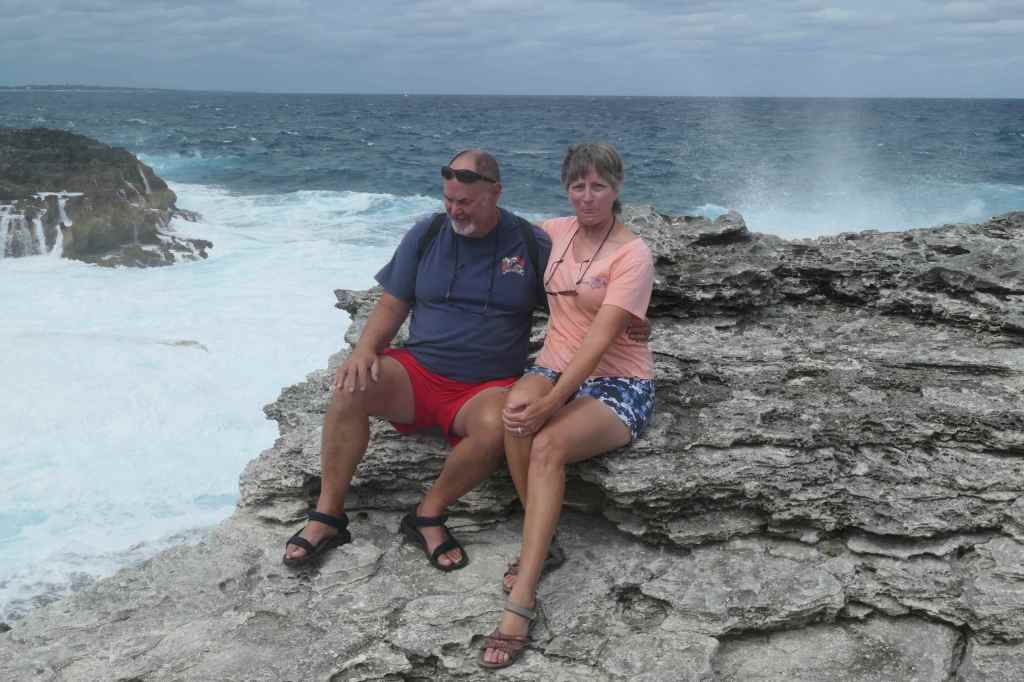
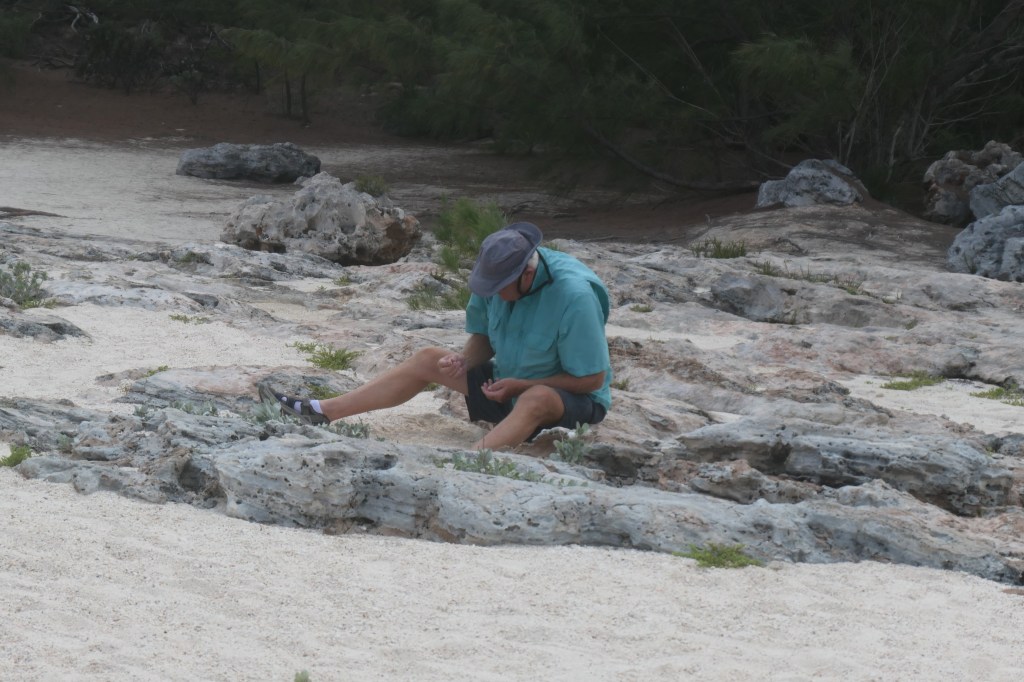
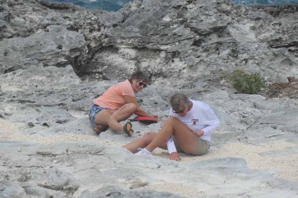
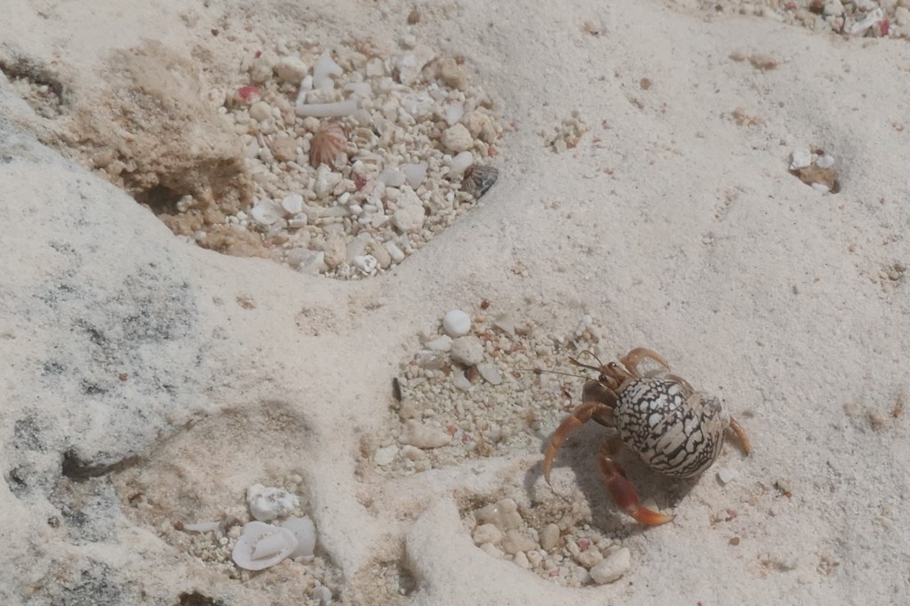
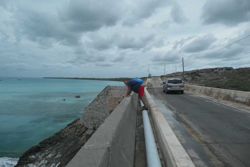
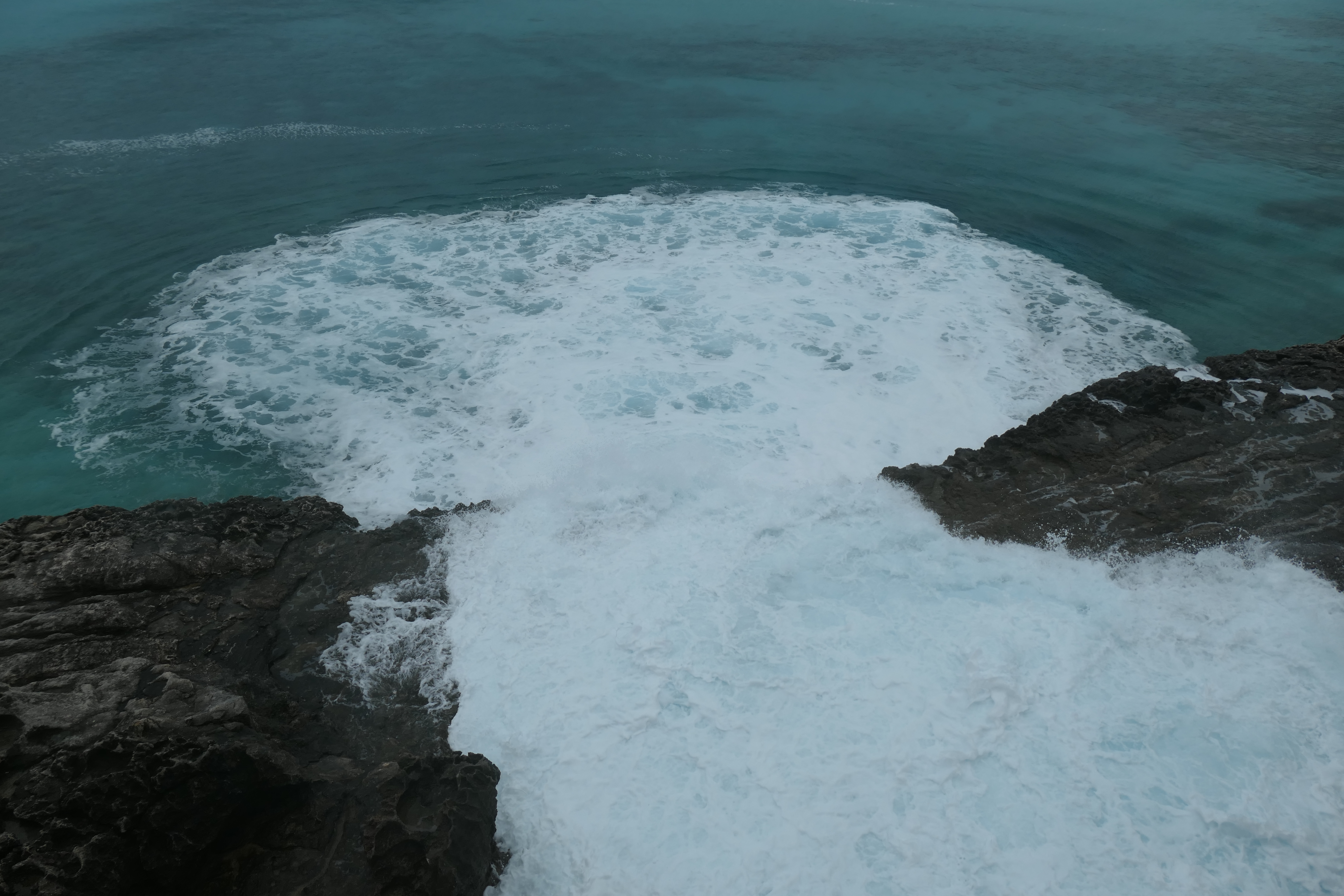
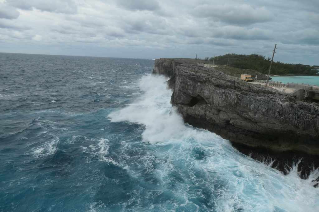
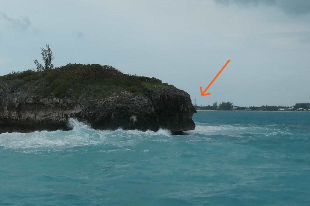
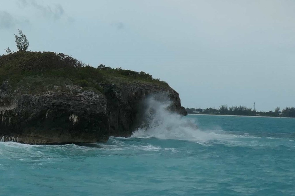
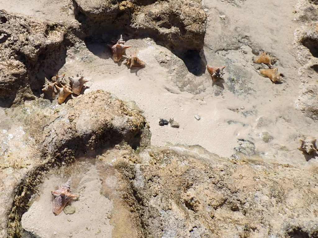
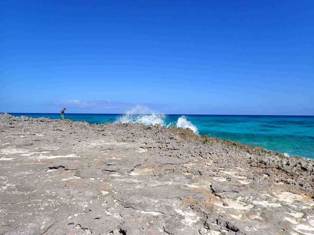
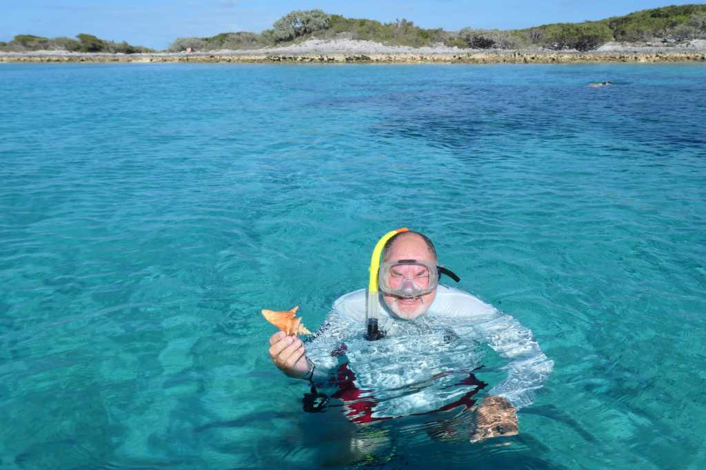
Next, we ranged south looking for deserted beaches and spotted one over on Long Cay. Pretty sand it was, but also marked “Private” and even had a big dog that came up to yell at us. So, we moseyed a bit more east in Spirit Bay to find this craggy, iron-shore-y “beach” just to get ashore. And WOW, we came ashore in a conch nursery! Hundreds of small conch – they were everywhere! Many had been “caught” in small shallow pools as the tide went out. Todd and Terry must have tossed a hundred or more back into deeper water. Silly guys! We made our way through a little sand and across this narrow part of Long Cay to see the Exuma Sound, which crashed against the iron shore.

Tricky landing area.

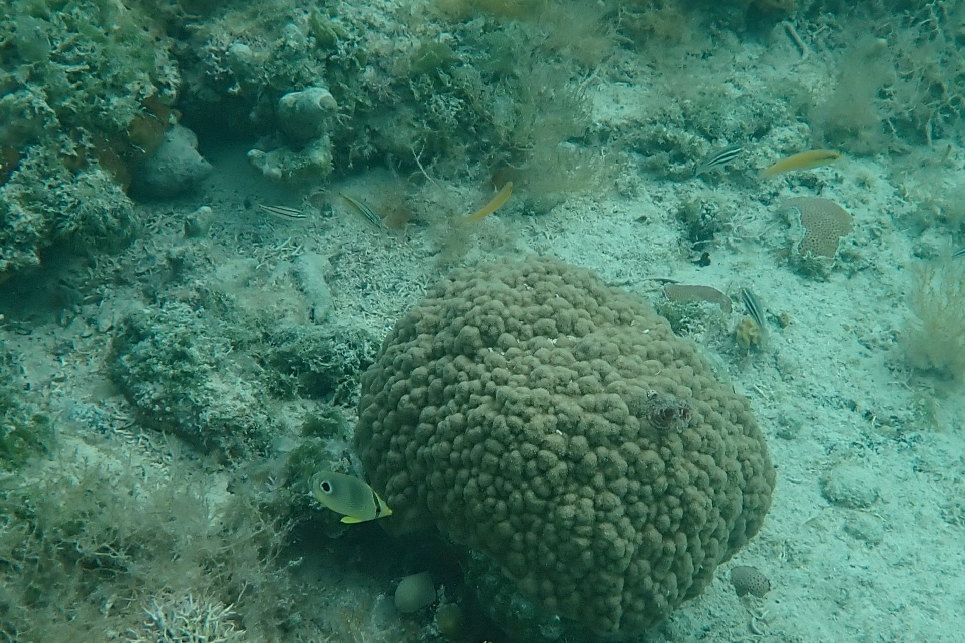
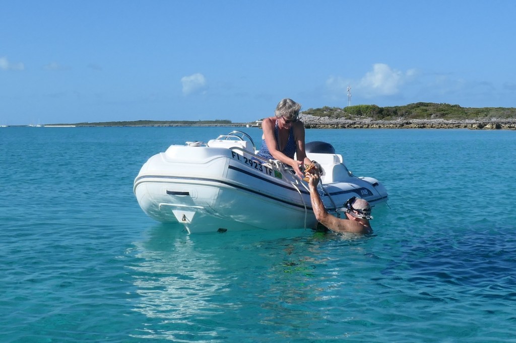
Nearby beach combing options having been eliminated, we headed home. On the way, we crossed over a large area of coral just in front of the boats. The guys grabbed their gear and jumped in. Where we’d anchored was a bit of a throughfare for several tour boats that came roaring by twice a day, so the ladies stayed on the dinghies with the dive flag as targets, err lookouts.

Todd tried the video feature of his new camera to capture a pretty Queen Triggerfish and Butterfly fish.

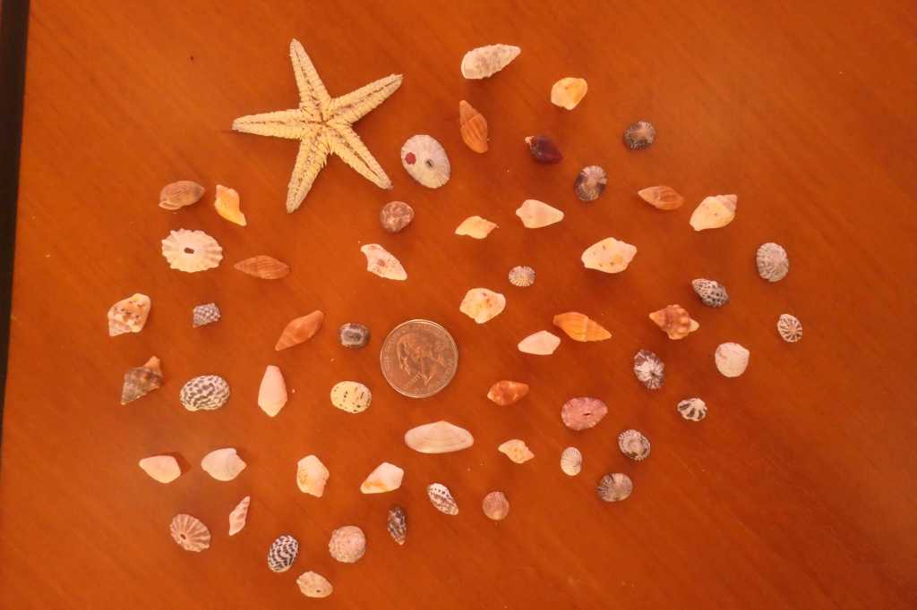
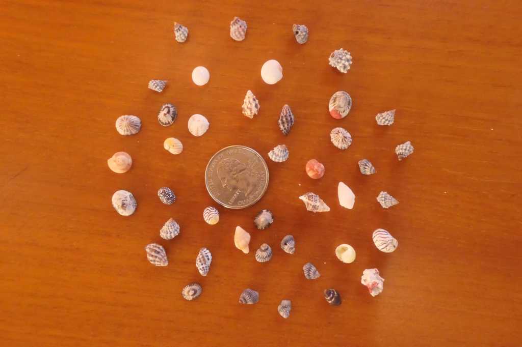
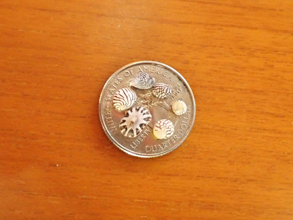
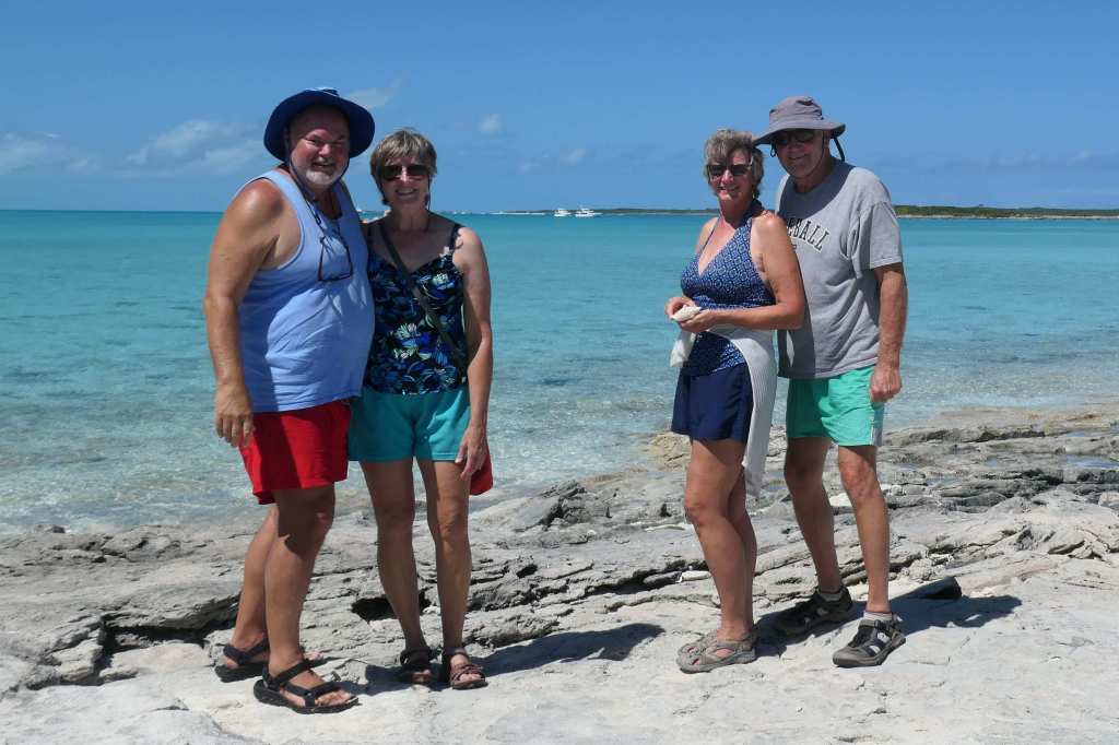
Jacques and Aqua man (aka Todd and Terry) delivered gifts from the sea to their ladies fair.


Once we got home, all parties rinsed the gear, showered and tucked in for an early night (leaving our shells OUTSIDE the boats). Ha!

As the sun rose, we discussed options over coffee time and decided to move on. Time to head to Normans Cay for a few days.

Sunrise over Oyster Cay

PS – About those “gifts” for the ladies? There are plenty of not-so-empty shells that got tossed overboard in the morning.

Wreck Sound

That is what Rock Sound used to be called during pirate times. Over the years, inflection of words changes, and hence we now have Rock Sound. To cruisers, it’s a good place to go when the winds are stiff and changing directions. We first headed to the southern end for protection from a very stiff southern wind. After a day or so, the changing winds drove us to relocate to Rock Sound proper (meaning the east side, where the town is located). Good move because Finish Grade needed to get to Customs to pick up a part they had flown in!

So, how have we spent the time? Well, in addition to life in general – cleaning, laundry, boat chores, etc. –

We did some beach combing on various sides/ends of the bay


We rented a car, planning to visit the Leon Levy Native Plant Preserve back north near Governor’s Harbour. Unfortunately, it was raining by the time we arrived and uncharacteristically enough, the rain had set in for the afternoon. (Yeah! Fresh water rinse for the boats!) So, in the end, we did a bit of shopping and headed back.


Snorkeling

They were greeted by a school of Grey Angelfish, among others, and even spotted a young Nassau Grouper hiding among the corals.


Exploring the caves

Boiling Hole and the Cathedral Caves:

This spot is right off the main road. Following the humble signage and a slightly rugged approach, we arrived to find a very well-built platform and stairway down into the caves.

First you come upon the Boiling Hole, a stagnant blue hole with gases that build up at the bottom and sometimes emerge, seemingly in a “boil.” All calm this day.

Totally flat and reflective

So, we headed down the short trail to the Cathedral Cave.

And, wow, just WOW.

This place is amazing! As Todd likes to call them, “rock eating” trees above have found a way through and dropped their roots down to the moist floor inside the cave to produce a really unique cathedral look. In some of the pockets on the cave roof we could hear and see bats flying about, perhaps disturbed by our presence.

And a couple more shots:


We haven’t shared a sunset photo in a while, but that doesn’t mean we aren’t enjoying the moments.

Didn’t want you to think we’re no longer celebrating the sunset. Every evening, Todd still bids the sun adieu with two long blasts of the conch horn before we turn on the anchor light and have dinner. Traditions are alive and well on the SaltyMare.

Todd actually has a little competition here in the crowd at Rock Sound. There are air horns, trumpets, and our personal favorite…

an adorable little guy who blows a small conch horn every evening. And blows. And blows. Love it!

Well, today we bid farewell to Rock Sound. We’re heading to the Exumas!

View of a pineapple?

As we moved down the west coast of Eleuthera toward the Pineapple Cays, our route was nearer to land than usual.

Since we were close, we had a good view of the houses tucked into the cliffside.

So, dream big and try to choose a favorite!


Although attractive and remote, none of those has access to the water. This next batch took care of that with stairways cut into the rock or “added” on.


Not a beach in sight! The coast along here is just these rugged cliffs. We also passed a couple of small, interesting bays.


This area of Eleuthera has a long history of pineapple production. From the interwebs:

“Gregory Town is known as ‘Pineapple City’ and was named after Governor John Gregory (Governor of the Bahamas in the 1950’s) …The annual Pineapple Festival was started in 1988 here by the Ministry of Tourism. When it was learned that Jensen Beach, Florida, also celebrated a Pineapple Festival, Gregory Town and Jensen Beach became official Sister Cities in July 1989. History shows that pineapples from Eleuthera helped start the pineapple industry in Jensen Beach in 1888.”

Regarding Hatchet Bay, which today is a very protected small bay visited by intrepid sailors:

“Austin T. Levy was an American wool mill owner from Rhode Island and a winter resident of many years, in Nassau. In 1936, Austin Levy purchased some 2,000 acres to embark on a venture to bring agricultural development back to Eleuthera. That venture became Hatchet Bay Farms.”


Our original “target” was #2 to the right. We thought to anchor near Sheep Cay and maybe do some snokeling around those little cays.

Well, the wind was too strong, as was the fetch (the longer the length of water across which the wind blows, the higher the waves). So, tried #3, but got nervous about the depth and couldn’t get close enough to the shore. Next, we backtracked to #4 – nope, still too rough.

Lastly, we went back through the little cut and all the way over to tuck up in deep water close to the shore south of Runaway Bay. Trials of selecting an anchorage in the Bahamas!

Yep, Sisal is cousin to agave (tequila and syrup). They’re the spiky plants in the middle of the above photo. Sisal is used to make rope.

We anchored, launched the dinghies, and took a walk in the South Palmetto Point Settlement.

Best of all? On this particular afternoon, our walk ended in…..

PIZZA!

Reviews suggested it was the “best pizza in the Bahamas.” We thought it was “ah-right.” But, hey, it was pizza, thus a treat. Ha!

Quick, look out the window!

From Meeks Patch, we cruised through the narrow Current Cut to get to the west side of Eleuthera proper. From there, it is an easy two-hour cruise down the island to Glass Window.


In our travels last year, the weather and/or our schedule didn’t afford us the opportunity to venture over to Glass Window. We only saw it from a distance. This time, all was in our favor to cruise over for an overnight stop.

The aptly named Glass Window in the distance

On a random side note, as we cruise, we enjoy seeing the houses perched on the islands. This one caught our attention – a tidy little Cape Cod, huh?


Back to the topic at hand, the Glass Window Bridge – considered one of the narrowest parts of the world! The ocean blasted through the islands a long time ago, but in 1895 there was still a natural bridge, as captured by Winslow Homer (below).

Upon approach, you can still see the lower remains of the original natural bridge and the simple man-made replacement. You can also see the mighty, deep blue Atlantic beyond. Kind of peaceful, right?

Regarding the peacefulness, looks, as always, can be deceiving.

Hmm, interesting… let’s get going and check it out!

Once anchored, we took the dinghies to the beach, climbed a small hill south of the Window, crossed the road, and found ourselves at the entrance to the Queen’s Hot Tubs and Bath, which is a short mile or so from the bridge on the Queen’s Highway.

It was fairly blustery, but there was a family visiting and a couple actually sitting in one of the natural “hot tubs.” The shallow water in the “tub” is warmed by the sun, and the ocean is about 50 feet below!


…and a short walk over the rocks to the larger area of the Queen’s Bath. Large pools fed by the ocean!

But this wasn’t the day to enjoy them, that’s for sure!


We watched the waves crash for ages, and then it was photo opp time so we could move on. After all, we still hadn’t made it to the actual bridge.

After getting the group selfie using the camera timer, we traded cameras to get couple shots. Each photographer snapped loads of them, hoping to catch the other couple with a large wave crashing in the background.

Got a good one of Terry & Lynn


And we’re sharing this string (from the 19 or so options) because of the ending, which Susie mentioned deleting, but Todd said, “No; use it!”


Tiny shell contest!

On the way back to the road, we discovered something amazing – small shells. We’re talking VERY small…and perfect. The hunt was on!

We spent a long time scraping through the shells looking for the best specimens. The ladies would have stayed for hours had we not still needed to make the walk to the bridge. This was fun!

They finally agreed to call it so we could dust off our backsides and hit the road for the bridge.


Boys will be boys

When you get almost to the bridge, there’s a unique blowhole.

For some reason, it looked drilled into the rock. Not a natural feature but fun, nonetheless.


We finally made it to the bridge.

“What a view!,”

As we said, that’s the calm sound side. Meanwhile, Todd climbed up a craggy point to film the other side of the bridge, where ocean chaos ensues!


Although it’s a two-lane road, after the bridge was shifted by a huge storm and rogue wave, crossing is only a single lane for traffic (and tourists…) Like every attempt to capture the ferocity of the ocean, timing is everything, and our pictures just don’t do it justice. And to think, this was a mildly riled ocean. Those interested check this news footage from a few years ago. It was fun to see and we’d love to see it on a completely calm day. We will be back!


Survived the trek back down the road!

Oh, about that Tiny Shell Contest.

And a last anecdote: Susie had the shells (she’d carried around all afternoon) rinsed and laid out on the galley counter to get photos, make sure they were dry, etc. During the night, she was awakened by a strange, soft sound, like something falling to the teak floor. After hearing the sound several times, she went to investigate. When she stepped from the stateroom to the area at the bottom of the stairs near the engine room door, she stepped ON something in the dark. Uh oh. FLIP on the lights! Indeed, one of those tiny “shells” had crawled to the edge of the galley counter, fallen to the floor, made a poor choice of direction and crawled to the stairway, and fallen stair by stair to the lower level. Poor little thing. Ultimately, he then went flying and swimming. (“They’re coming to get you, Barbara.” There’s another old reference. Who’ll get that one?)

Cross “Back” to Meeks

There are two choices to get out of the “bay” bordered by Harbour Island and back to the peaceful anchorage at Meeks Patch. One, an exit to the east, out onto the ocean and long (either 160nm one way or 40nm the other); OR, Two, a journey back across the Devil’s Backbone. We chose the latter and arranged to be piloted back the way we came. Why? Because it was a sporty day!

More traffic than we thought given the conditions. The waves were pounding the beach and the rocky coastline. But a turn past Ridley Head, and we were through!


This is the first time we entered the little harbor in Spanish Wells from this direction. It was fun to see the town from our flybridge rather than from the seat of a golf cart.


We cruised right on through the harbor and out the way we usually enter, then dropped off the pilot and headed over to Meeks Patch. Oh, and that “peaceful” anchorage at Meeks Patch? We weren’t the only ones with that idea!

That’s a lot of boats…

Lucky for us, we were headed to another side of the island. We can handle a bit of inclement weather; and, besides the wind is switching directions, so these folks are in for a rough ride in a few hours.

On our side, its smoothing down and one can tell the front is here. The winds are in our favor.

A cloudy sunset lead to a peaceful night

Next stop, Glass Window!