As predicted, we were out of the reach of the Bahamian cell towers at our last stop anchored off Mangrove Cay Monday. We spent the afternoon making final preparations for the crossing – securing the dinghy to the deck, route planning, stowing errr… everything, planning/preparing simple meals, engine fluid checks, etc. You know, loafing… Ha!
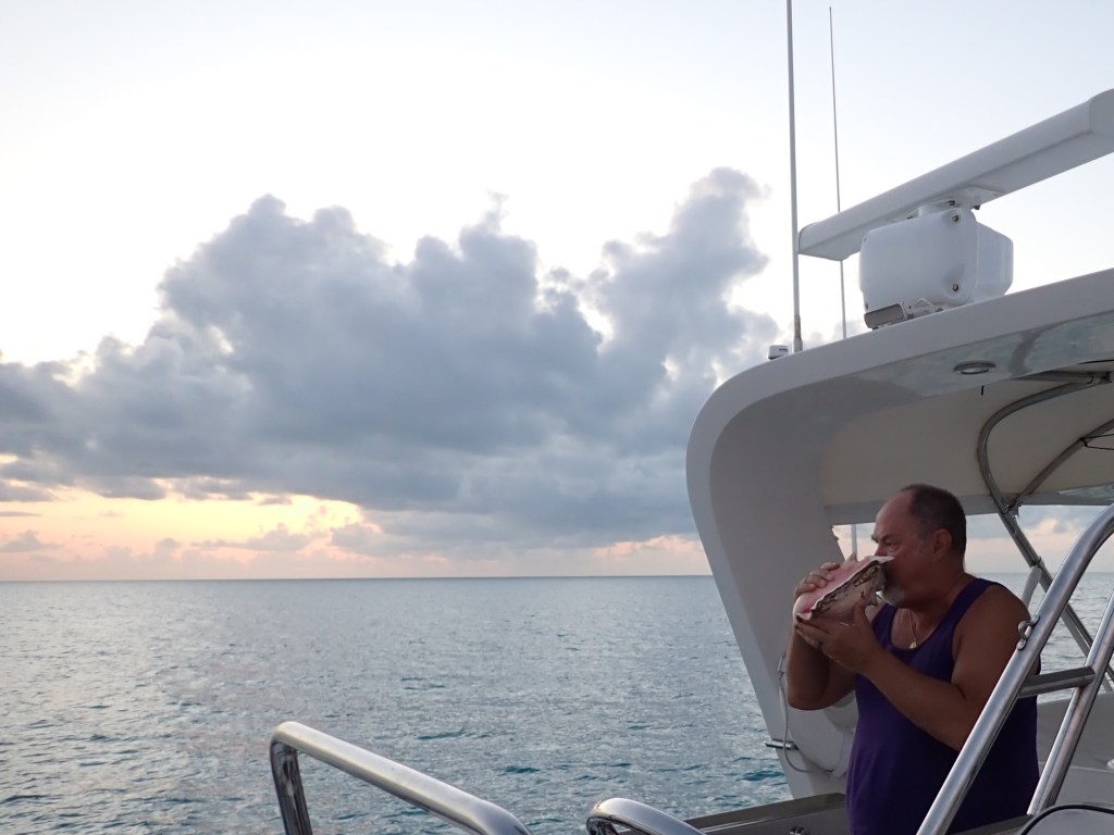
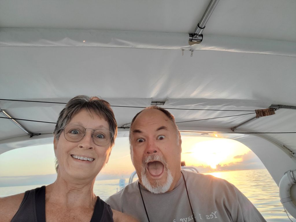
Once all the preparations were done, Susie sat on the swim platform sipping a cocktail and dangling her feet in the tranquil turquoise water. As the sun set, Todd blew the conch horn for the final time on this trip.
Then it was anchor light on, alarm set for 0400, and crew to bed.
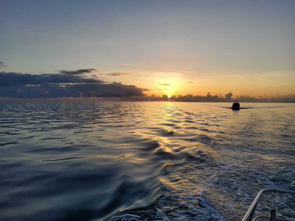
We weighed anchor at 0445 and quietly slipped out of the anchorage. It was Mangrove Cay (uninhabited middle of nowhere) – there were like, two other boats.
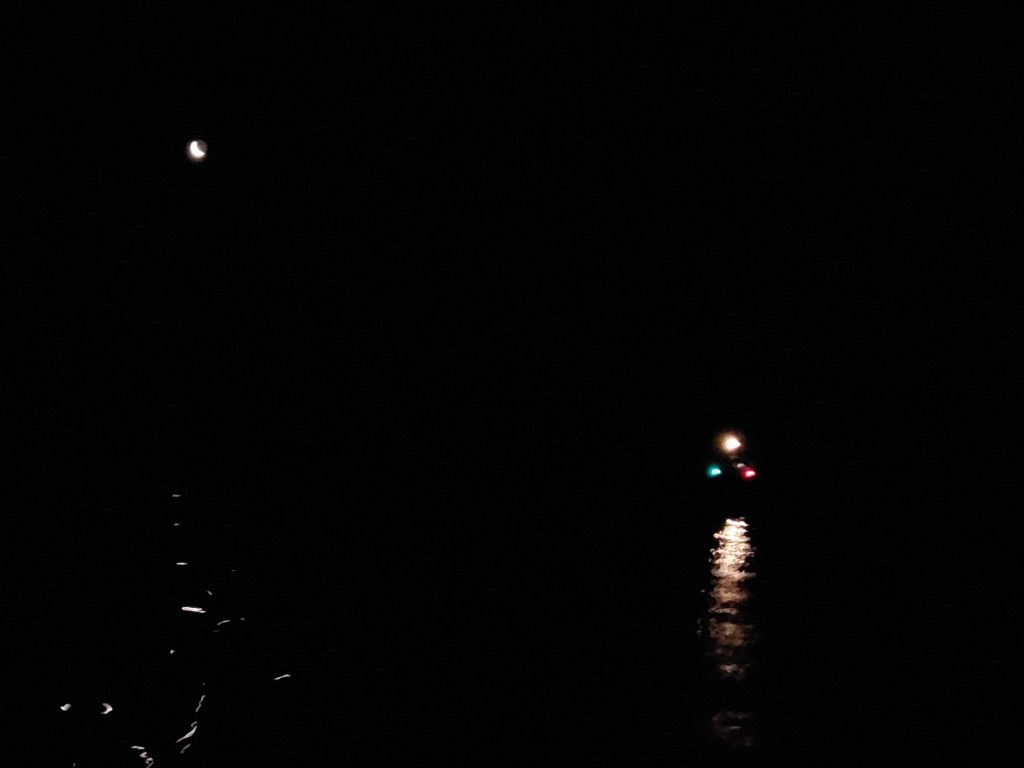
By 0520, it looked like this.
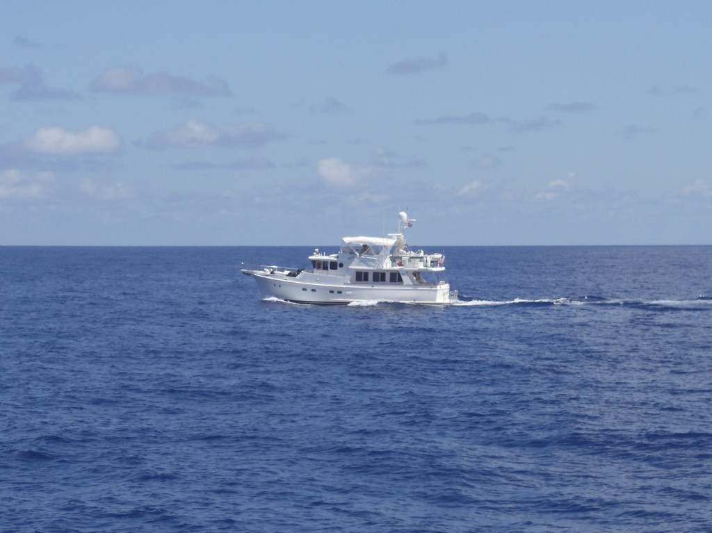
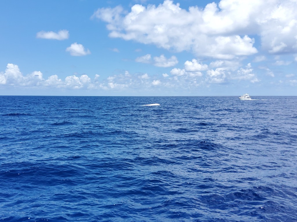
That’s Finish Grade (the cluster of navigation lights) traveling behind us under the “light” of the rising moon.
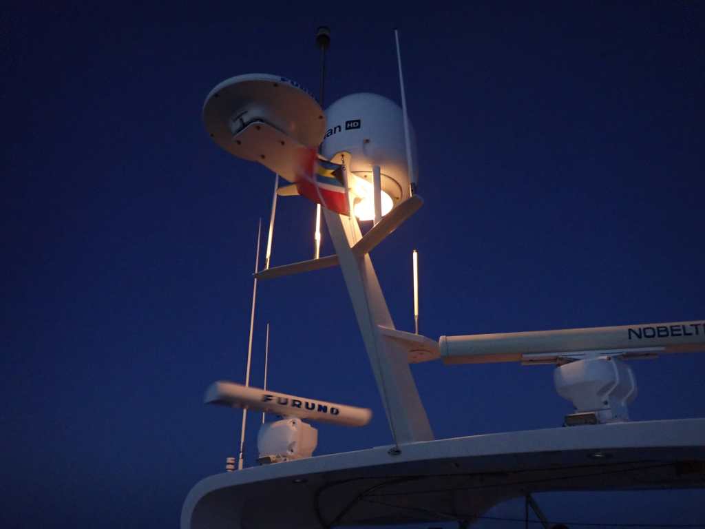
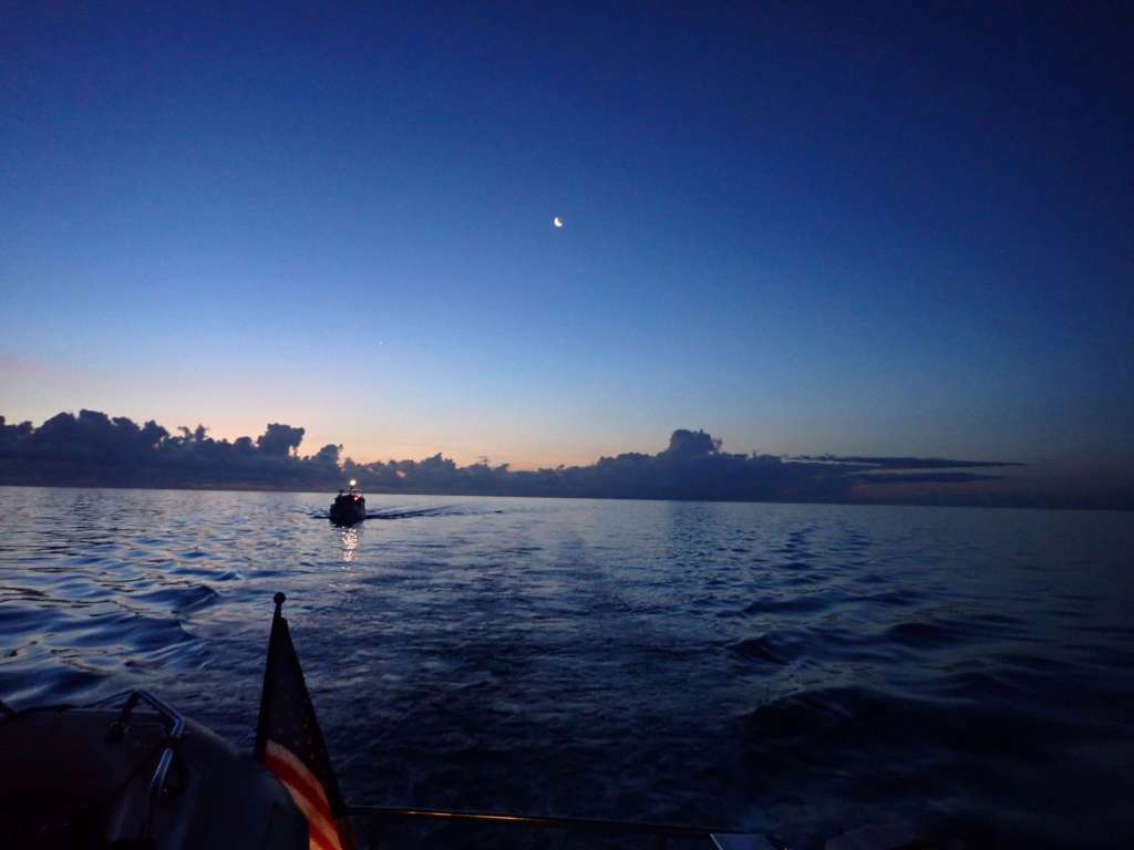
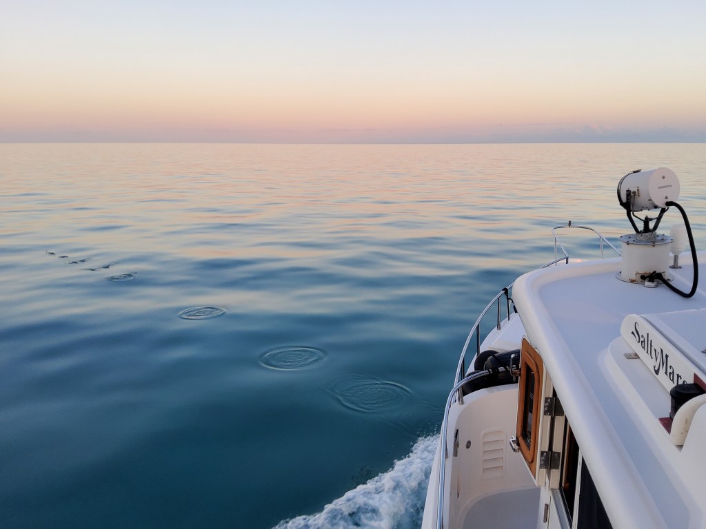
By 0545, the sky was beginning to lighten a bit as we continued on the Bahama Bank with the radar whirring and the courtesy flag flapping in the breeze.
We were headed west, so there was a lovely sunrise to our stern.
Our route had us about three hours crossing the Little Bahama Bank before entering the North Atlantic Ocean and the Gulf Stream. The conditions were idyllic! Yeah, planning! As we had our final look at the starfish, sharks, rays, and others through the clear 20-30 foot depth, we entered the 3000+ foot deep ocean. Of course, fishing lines were deployed on both boats. Oui, the optimism!
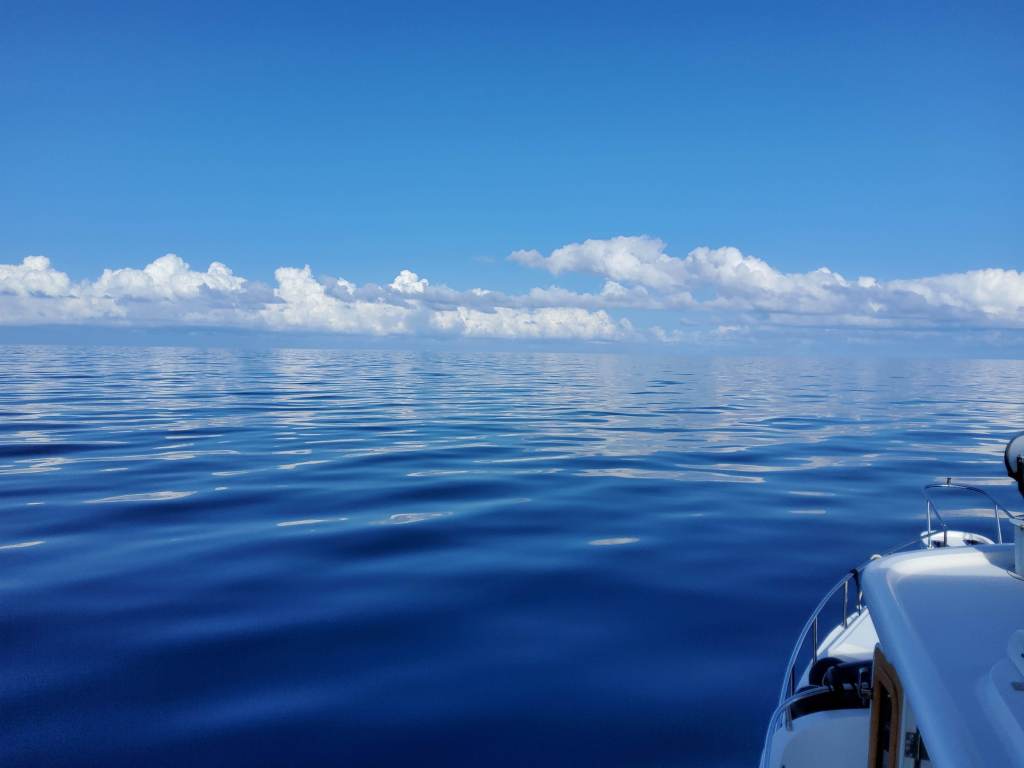
As the day is born, the sun heats things up and the wind typically picks up. Not terribly, but it changed the conditions, as one would expect.
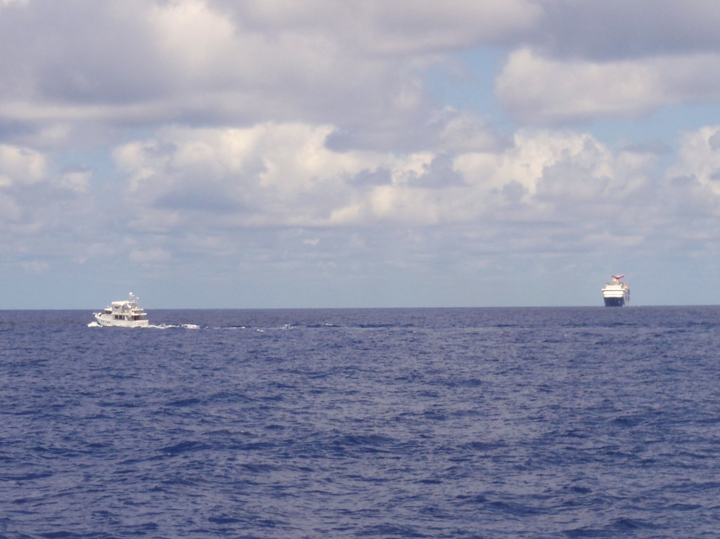
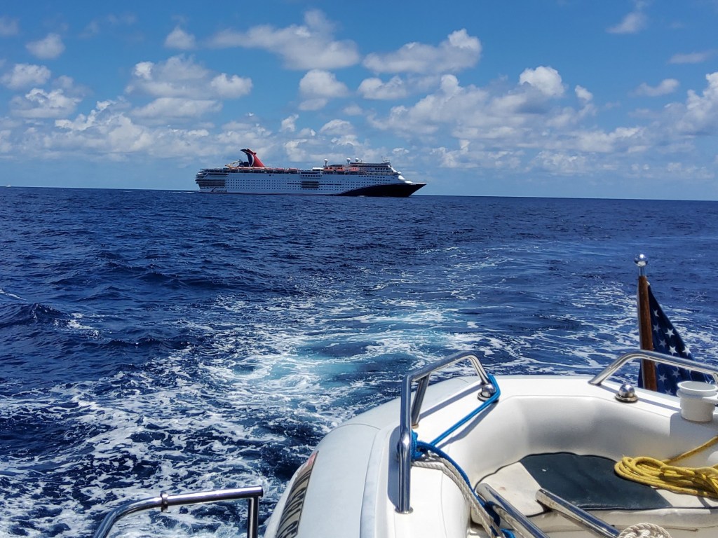
Our route was not unusual, but it was a bit amazing that twice we crossed paths with very l-a-r-g-e ships. Close enough for attention.

Seems like an uneventful passage, right? Well, almost.
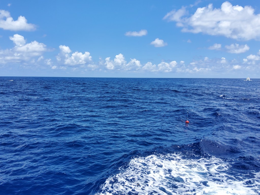
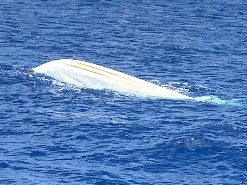
Just after midday of a beautiful day on the water, watching the flying fish, the clouds, etc. cruising across the invisible “river” (the Gulf Stream), Todd spots something in the water ahead. Lo and behold, an overturned vessel. Oh geez…..
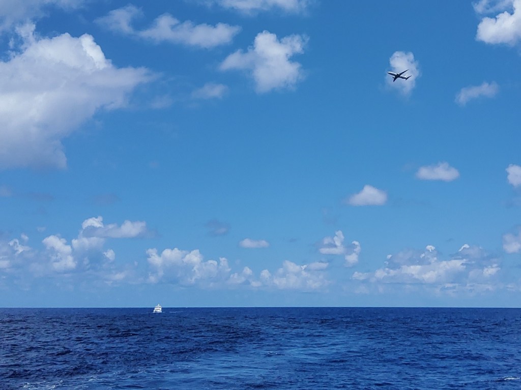
Closer inspection revealed no one in the water, and we noticed “buoys” nearby. Todd called the Coast Guard to report it. Finish Grade filled in the details via texting with the Coast Guard (Starlink to the rescue again). Subsequently, we heard on the VHF a Navy plane that happened to be in the area volunteering to fly over the scene. We asked if we needed to continue circling and were told it was not necessary.
Although it felt weird to move on, as we did, the Navy jet showed up and made ever-widening circles, reporting findings over the radio. It was good to know that, on this day, within minutes, folks were responding.

Hours later, around 1720, with the late afternoon sun glaring off the water, we entered the Fort Pierce inlet and picked up to 11.5 knots! Whee!
It was almost like the ‘Mare was anxious to be back in the States (heading for the barn?). Nah, just riding the inbound tide.
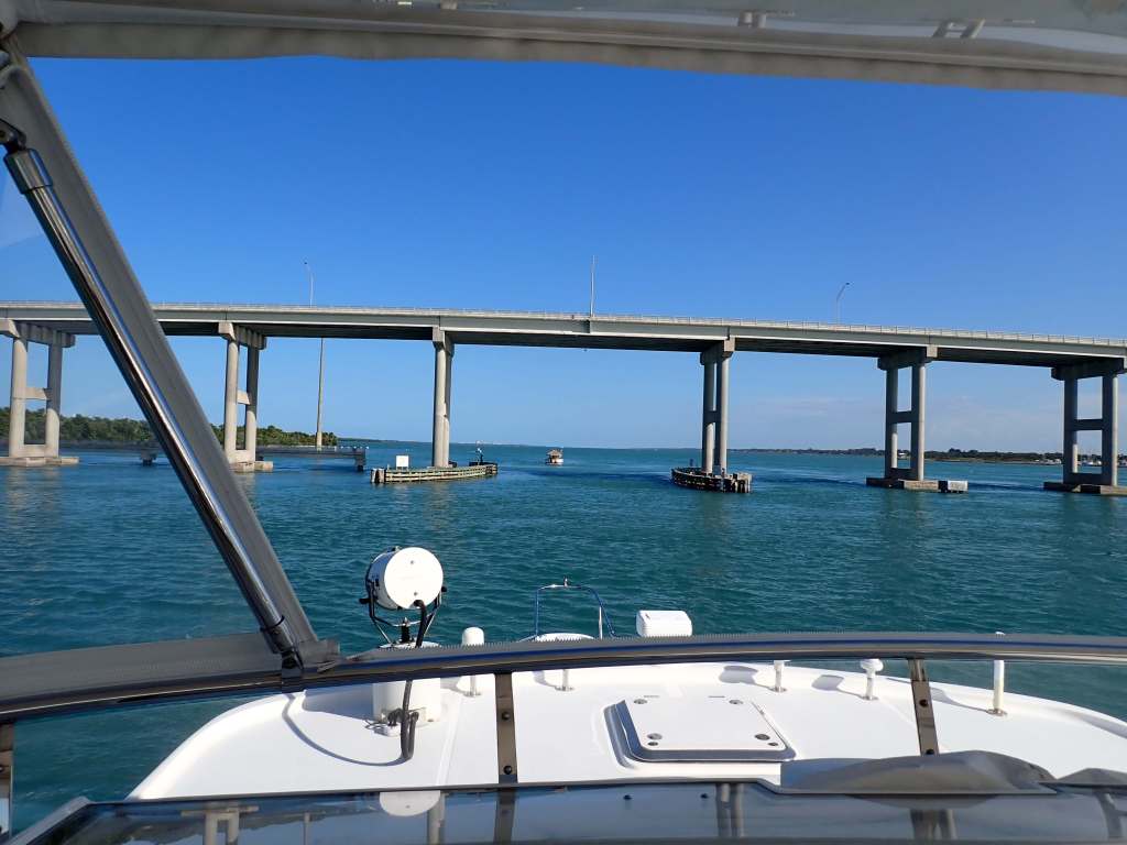
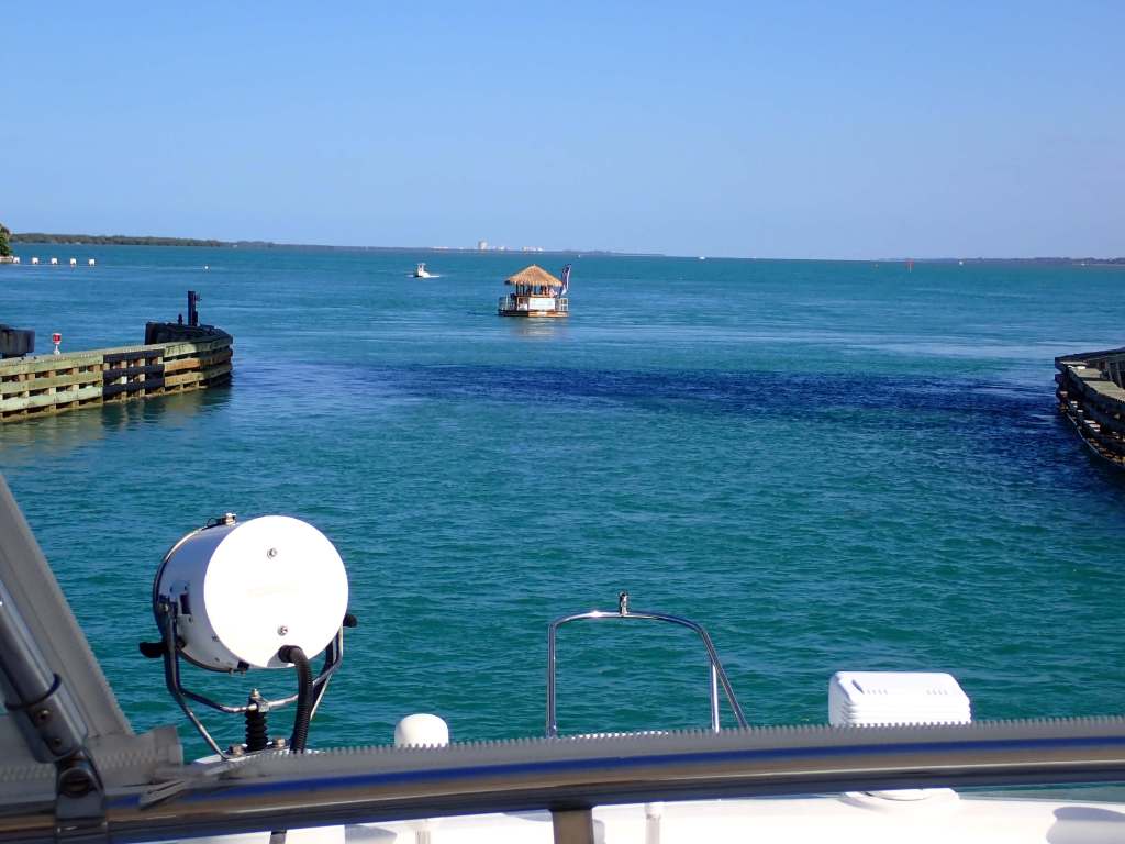
As we rounded the corner and approached the one bridge between us and our anchorage, “Honey, is that a…………
…..
P.S. As expected, no fish were harmed in the making of this crossing. ha!
