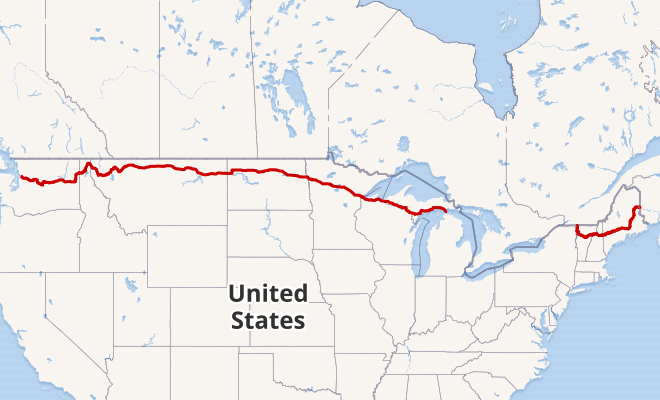
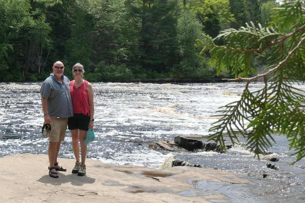
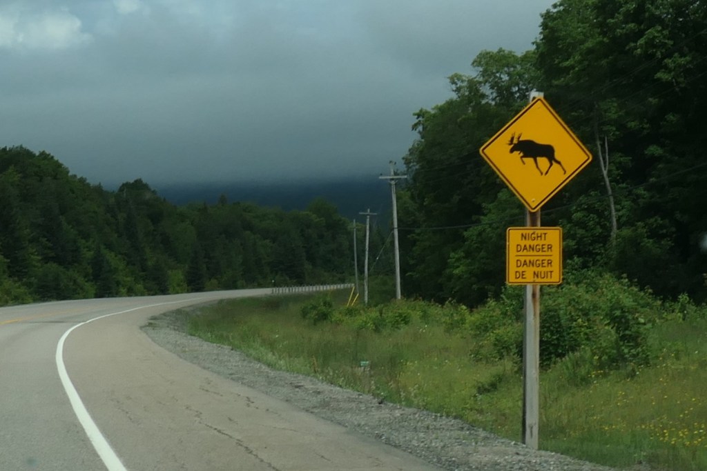
While reloading the car located at the top of the hill in Appleton, we discussed crossing the state approximately 160 miles due west to Cashton for our next rental. Should we keep it simple and travel as the crow flies? Us? Of course not.
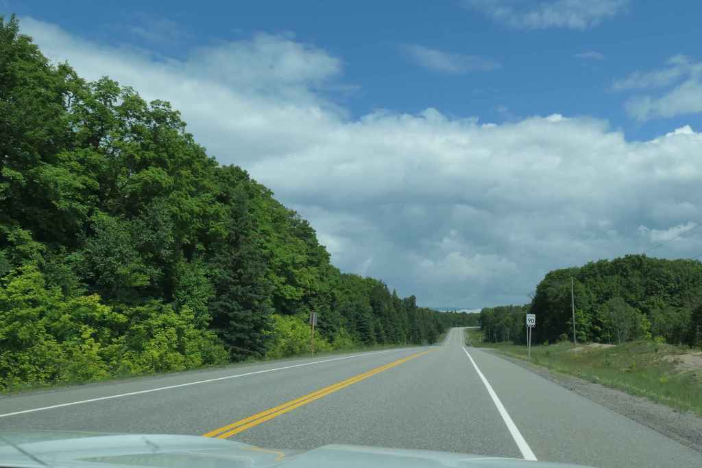
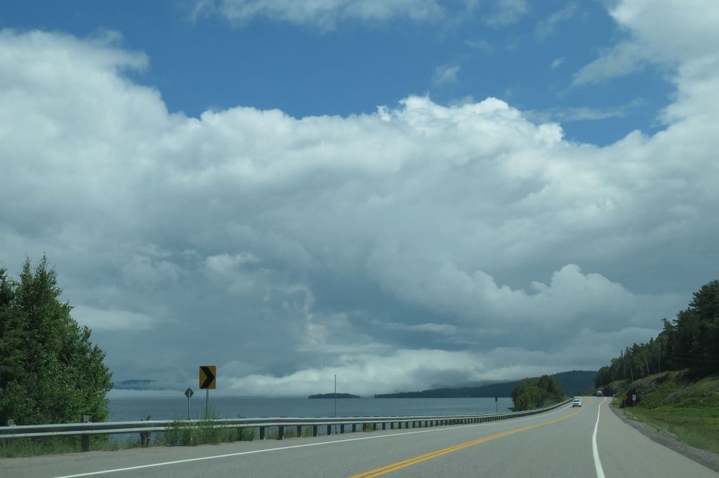
As is our M.O., we turned a 160-mile trip into more than 230 miles by dipping to the south, thus changing the nice straight line into a “V” through south central Wisconsin. And what a great decision!

Why? Because it was a perfect 74-degree day for a stroll in the garden.

Not just any garden, the Olbrich Botanical Gardens in Madison, Wisconsin, on preview day of the “Blooming Butterflies” exhibit in the Bolz Conservatory. Plants and butterflies!
Man, oh man were the butterflies ready to show off. They were everywhere! So much so that one had to be careful when taking a step. Here are just a few:

Pretty stripes on a Zebra butterfly 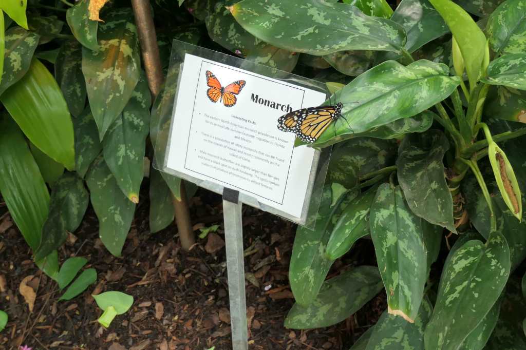
A very cooperative Monarch helping to educate 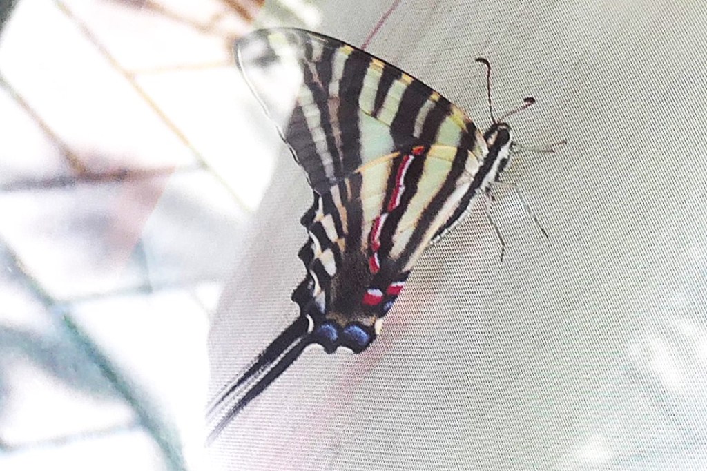
A recently emerged Zebra Swallowtail photographed through the glass door of the Chrysalis Enclosure 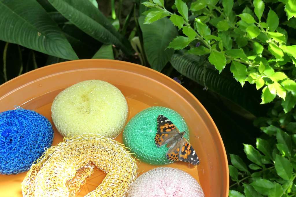
A Painted Lady sucking sugar water from a sponge 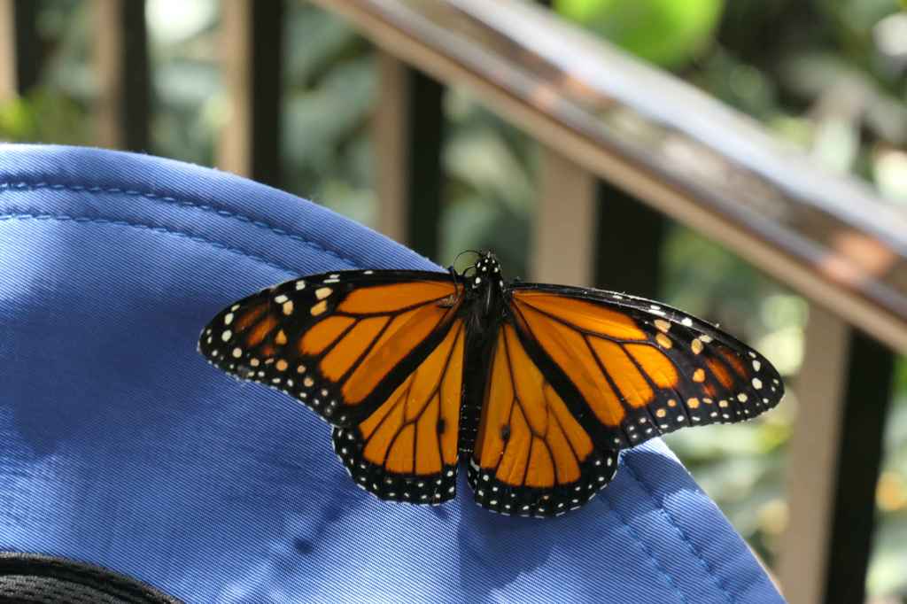
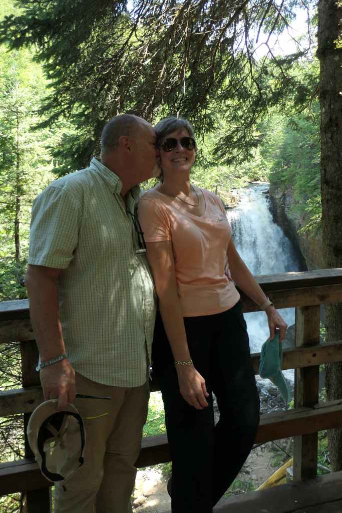
A Monarch resting on Todd’s hat 
A White Peacock butterfly sunning on the rail 
A Pink-edged Sulphur butterfly camouflaged among the flowers 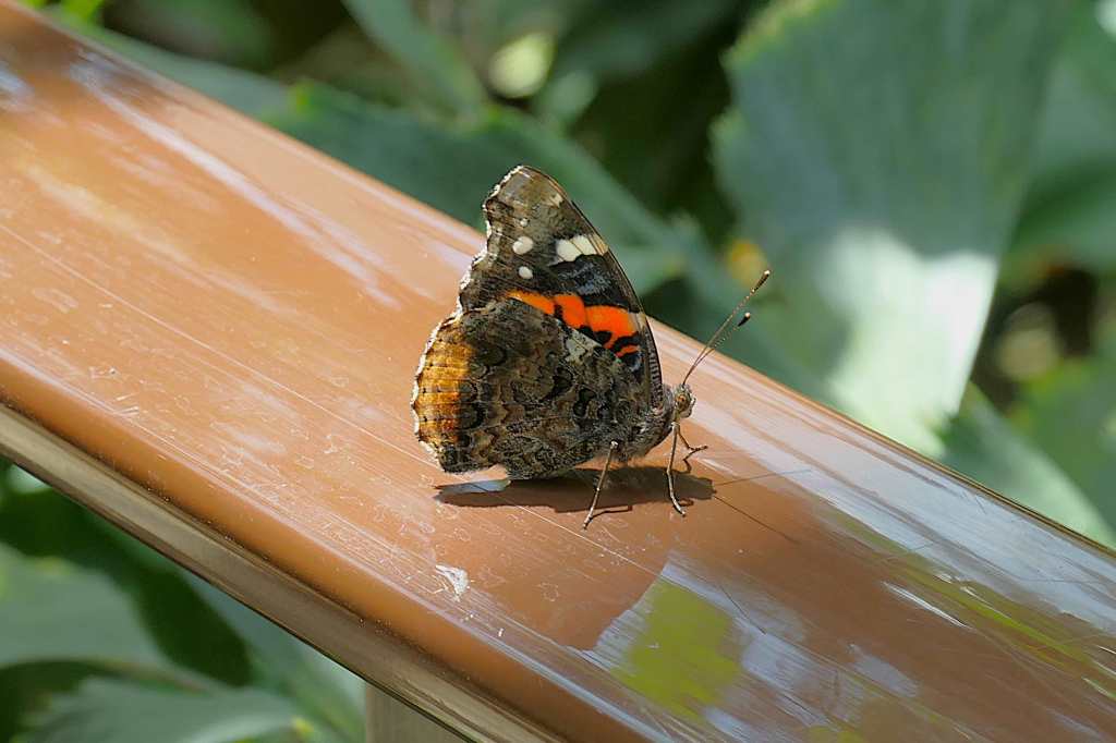
A Red Admiral standing tall just before fluttering away 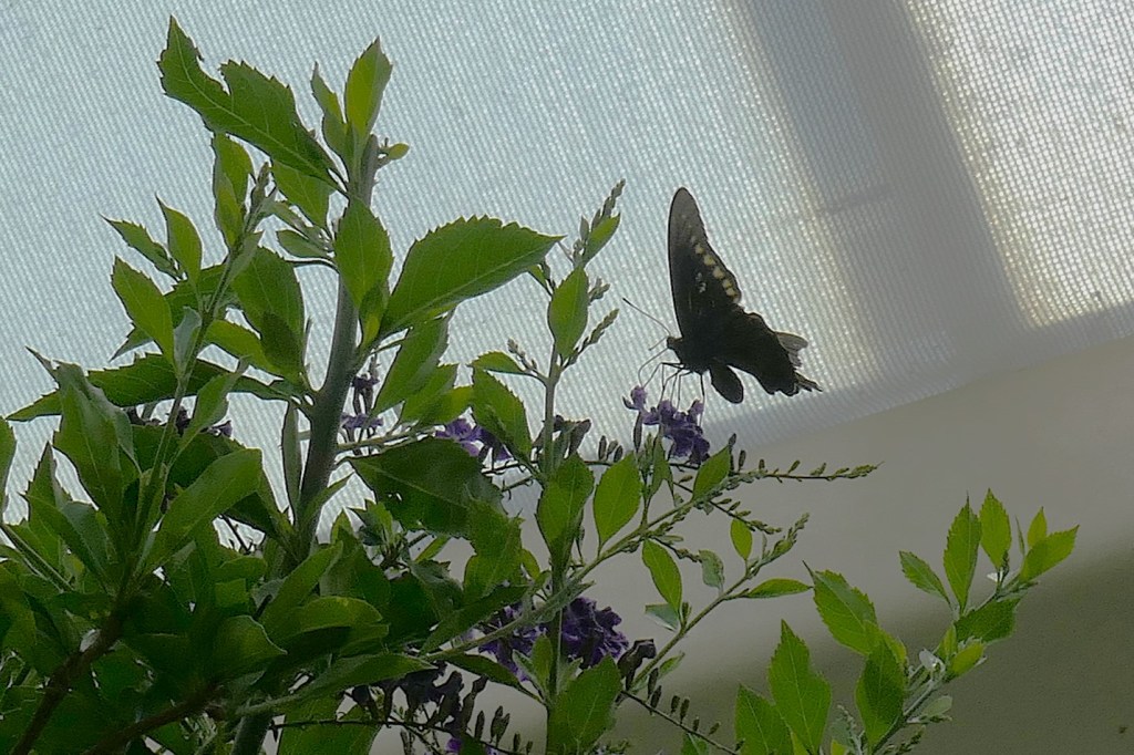
Some, like this one near the top of the conservatory, search for the sky 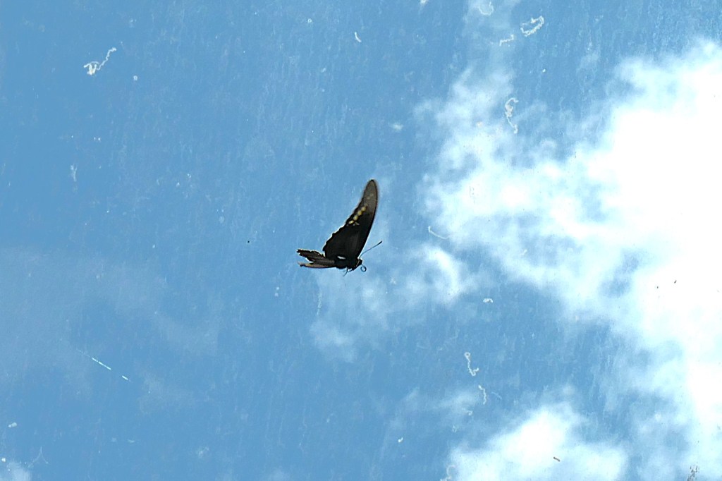
I see the sky – where’s the exit?
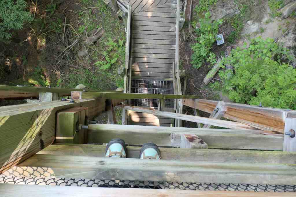
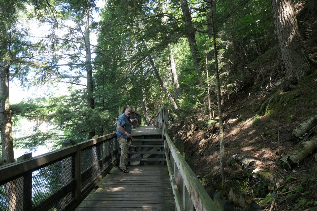
The jungle-like conservatory was full of growth and exotic blossoms!


Although we could have stayed for hours, we finally left the conservatory to find the whole outdoor garden was lush and blooming, as well.


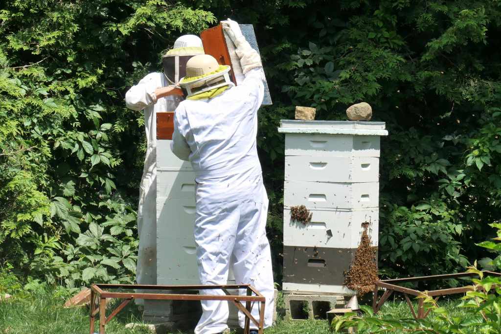
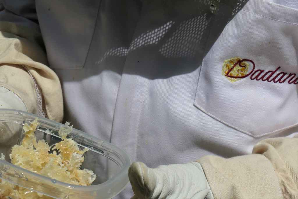
Spotting beekeepers in the distance, we stepped over to watch.

When they noticed our interest, the beekeepers took a break to bring us a sample of fresh honey. Yum!


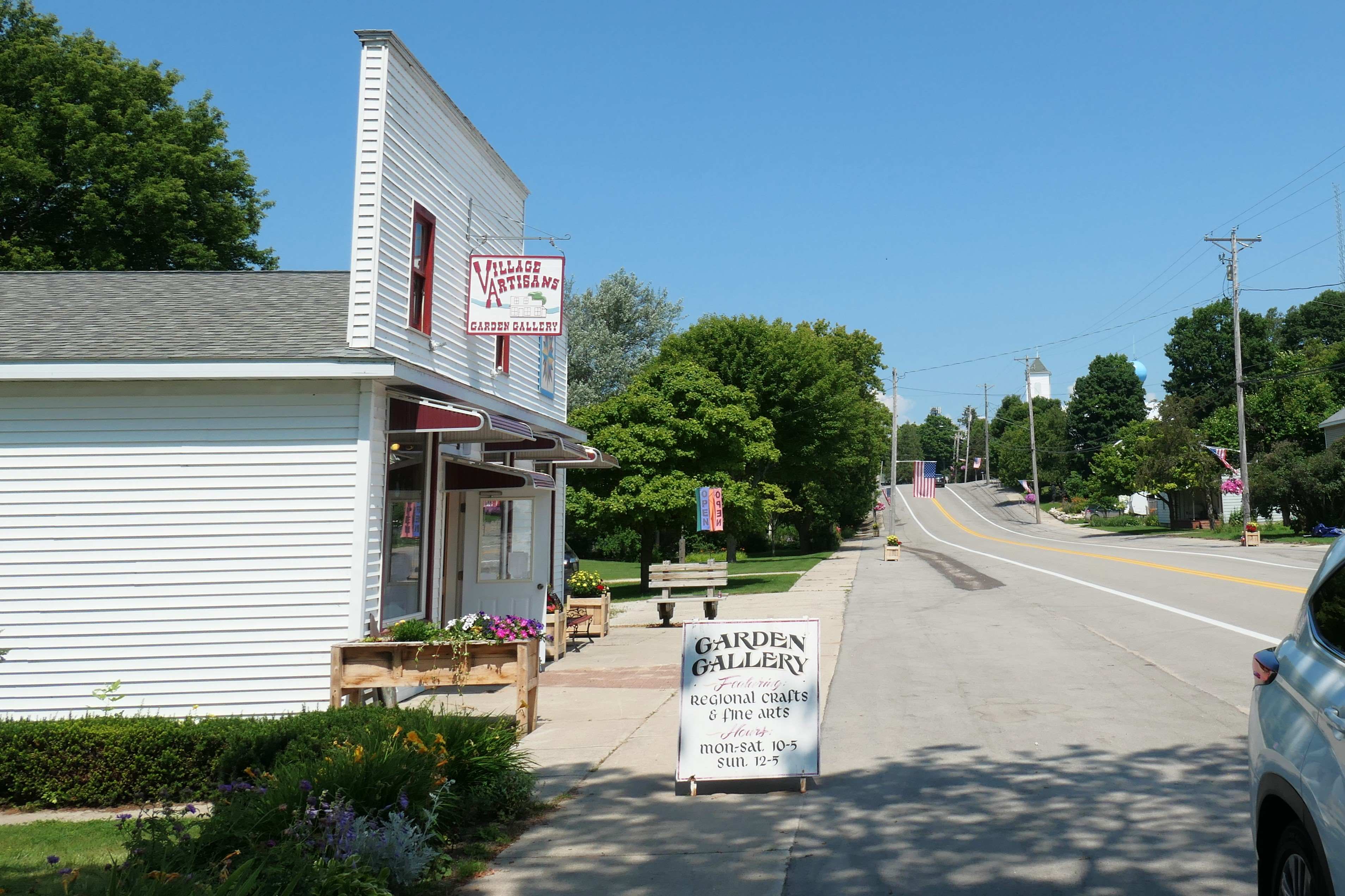
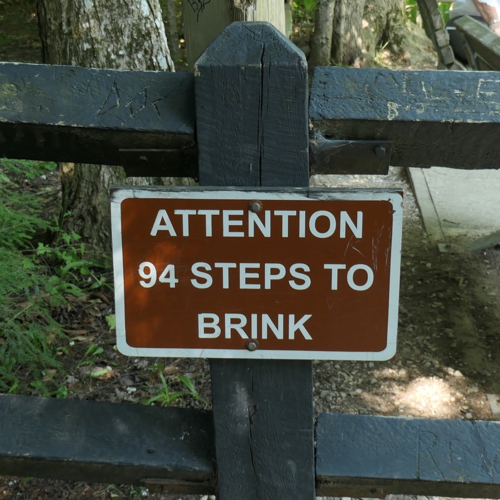
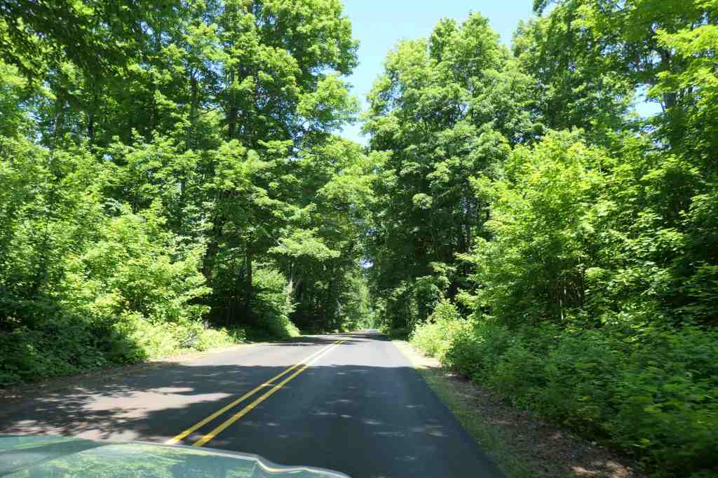
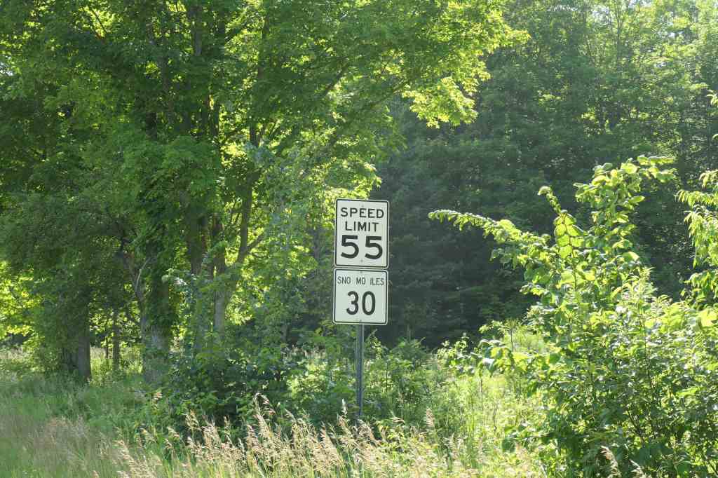
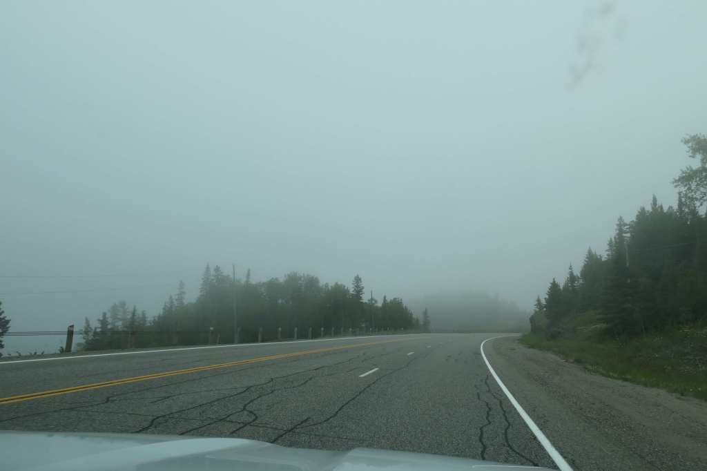
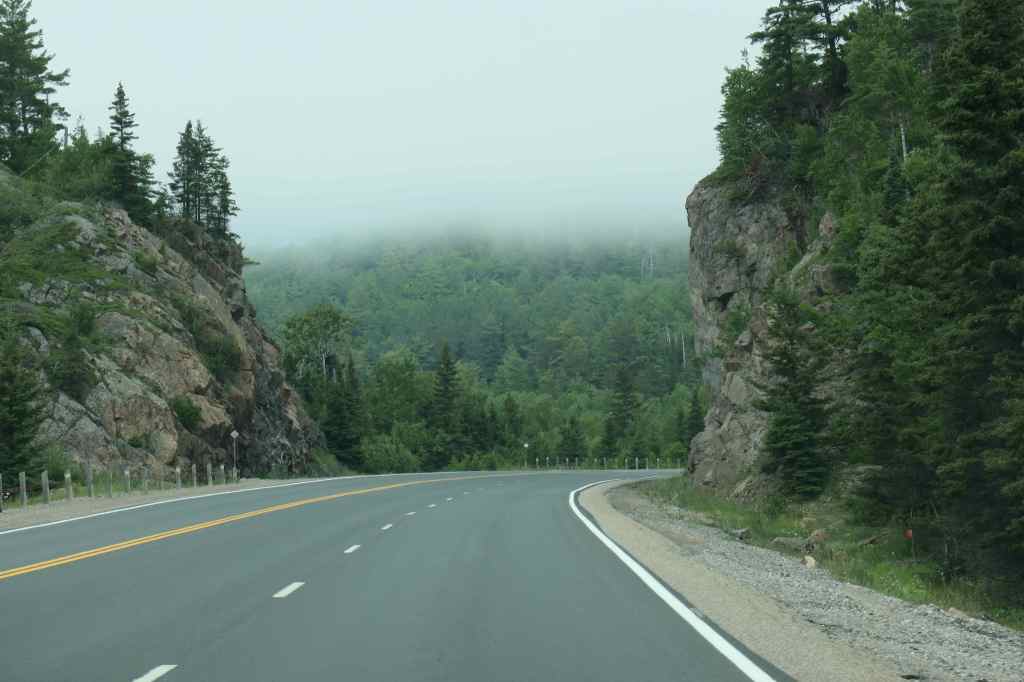
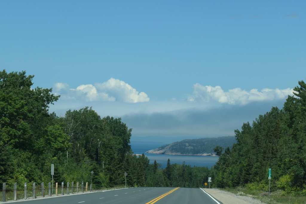
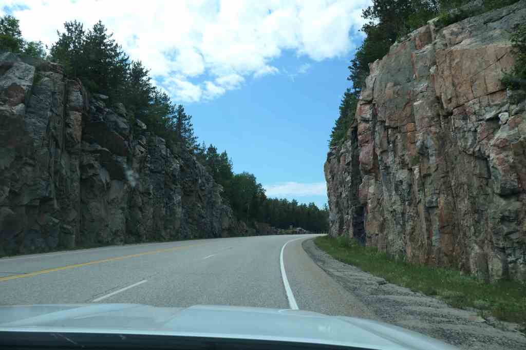
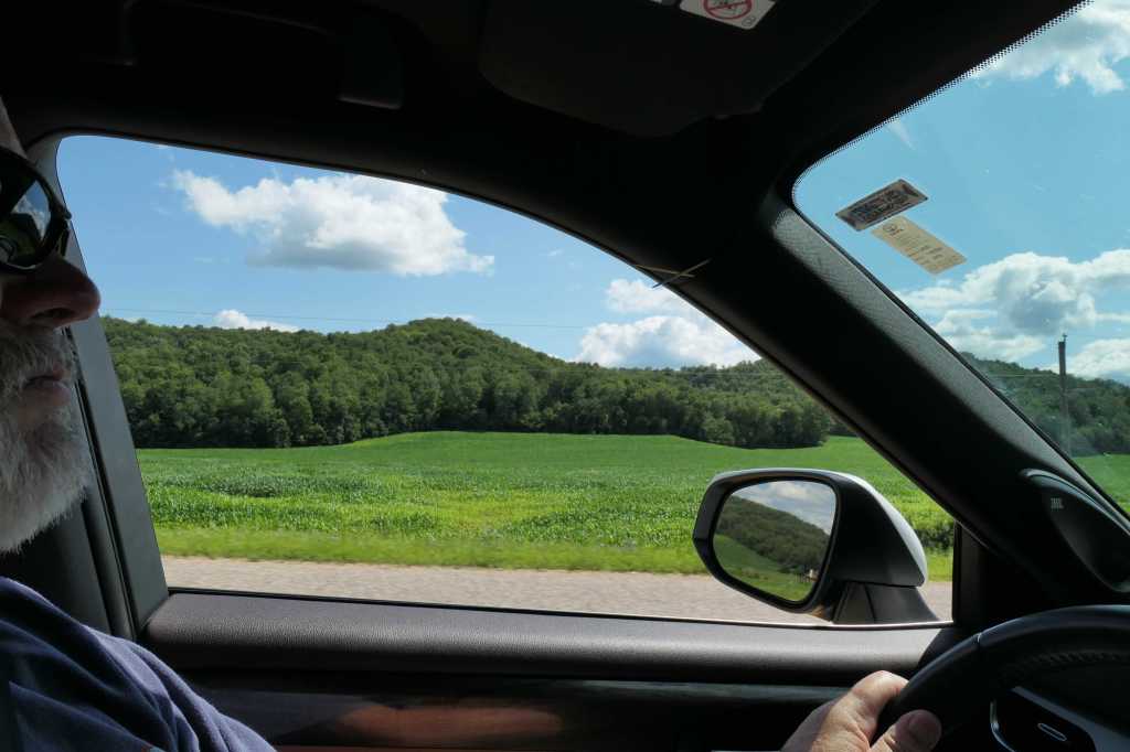
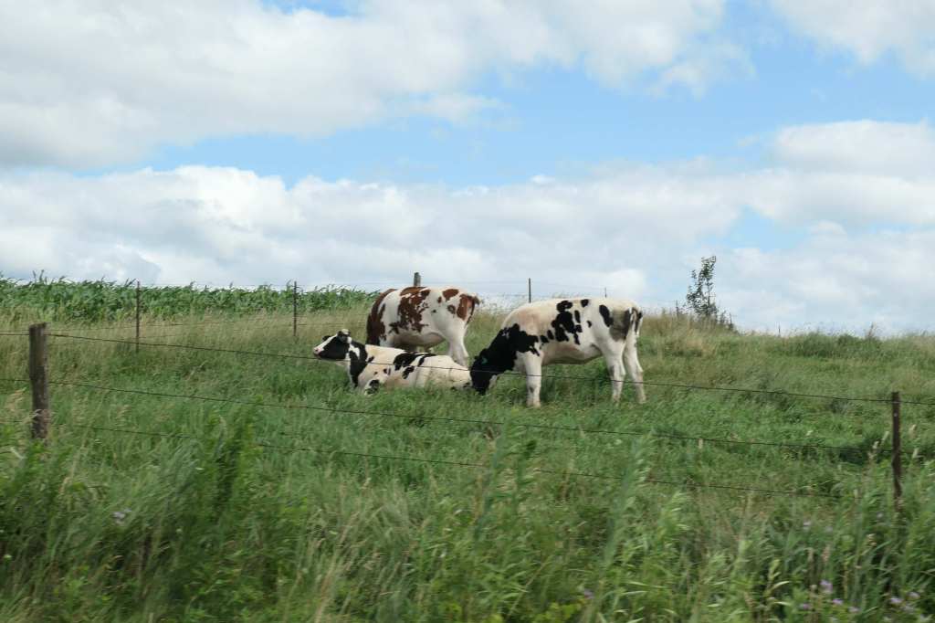
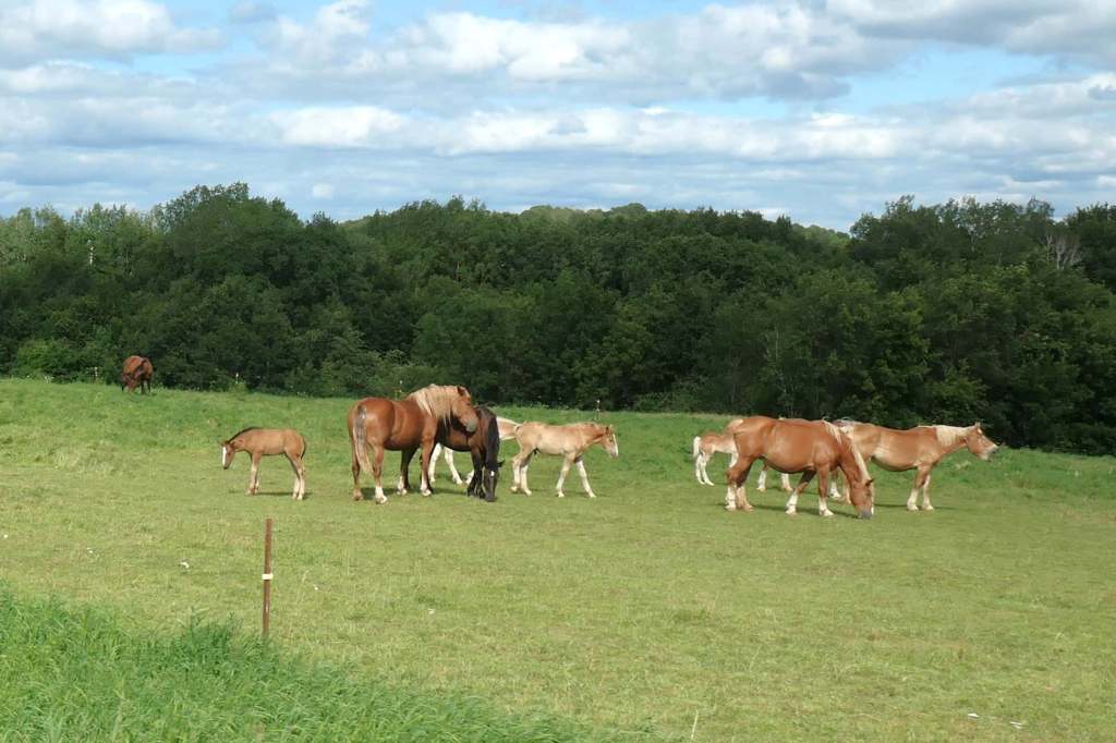
Interestingly, as we got further west, the topography changed.
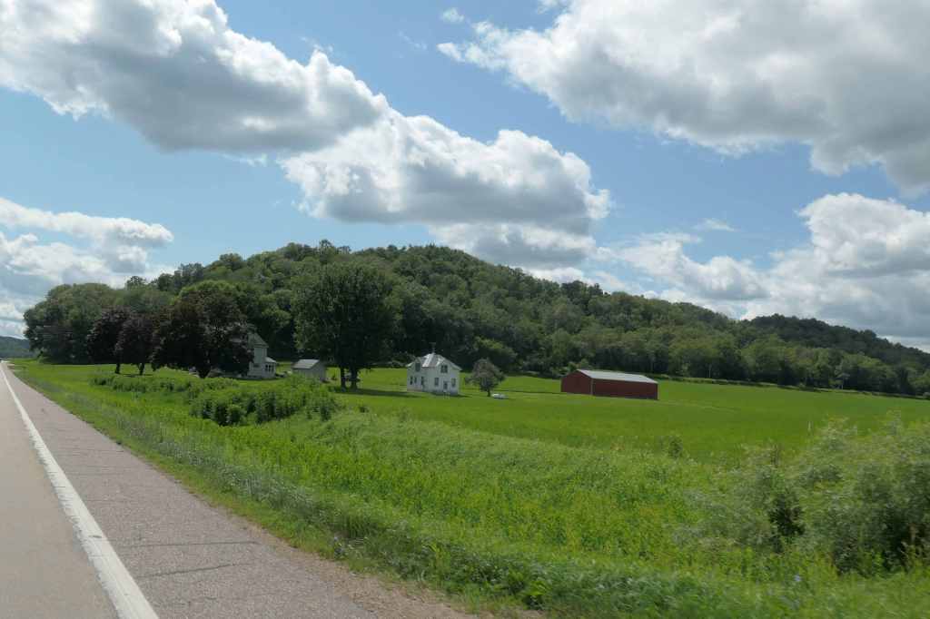
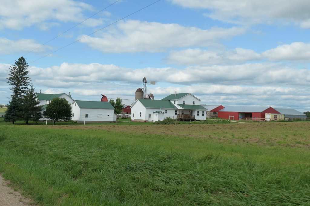
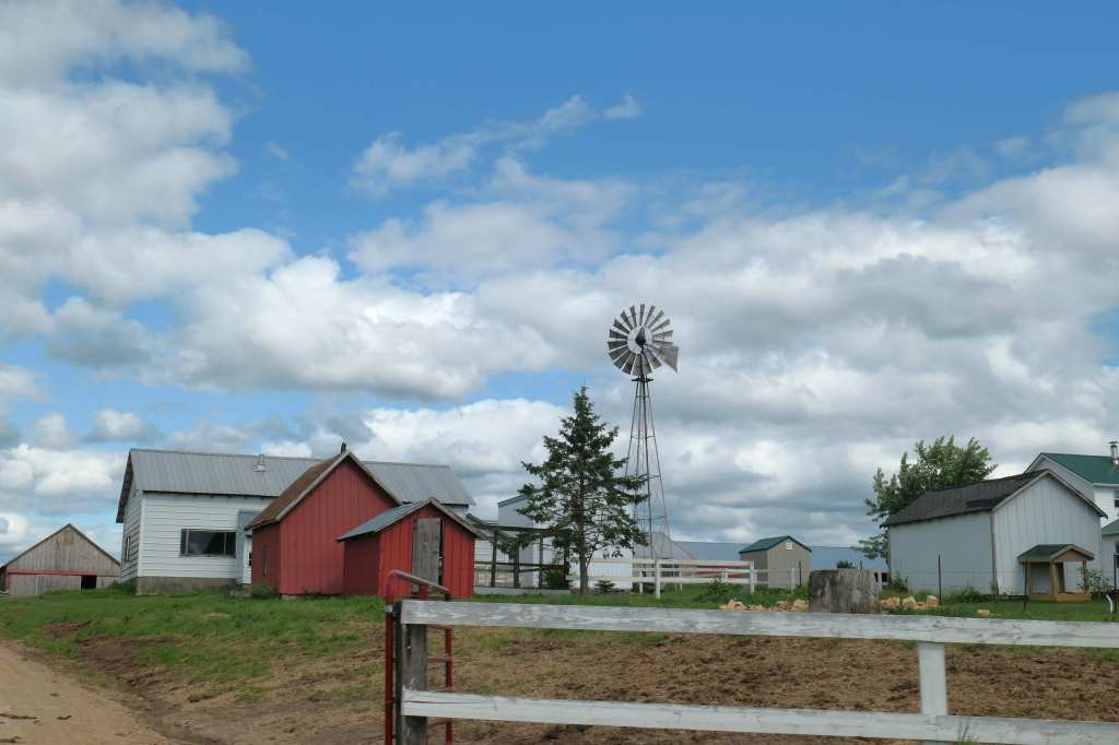
Our destination, the Village of Cashton, is in the middle of Wisconsin’s largest Old Order Amish community, with 2,500 Amish residents. At approximately 25,000, the Wisconsin Amish population is the fourth largest in North America, fewer than only Pennsylvania, Ohio, and Indiana. Who knew!
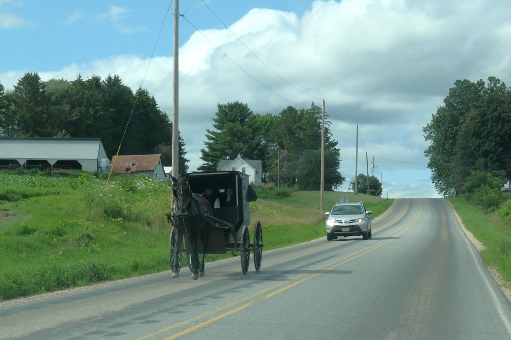
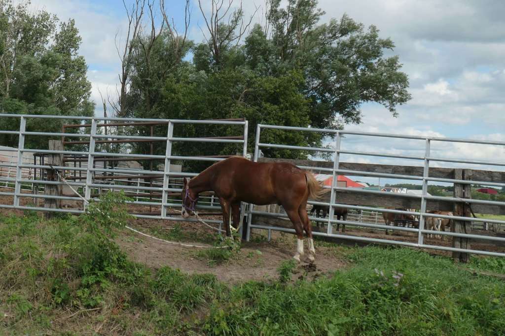
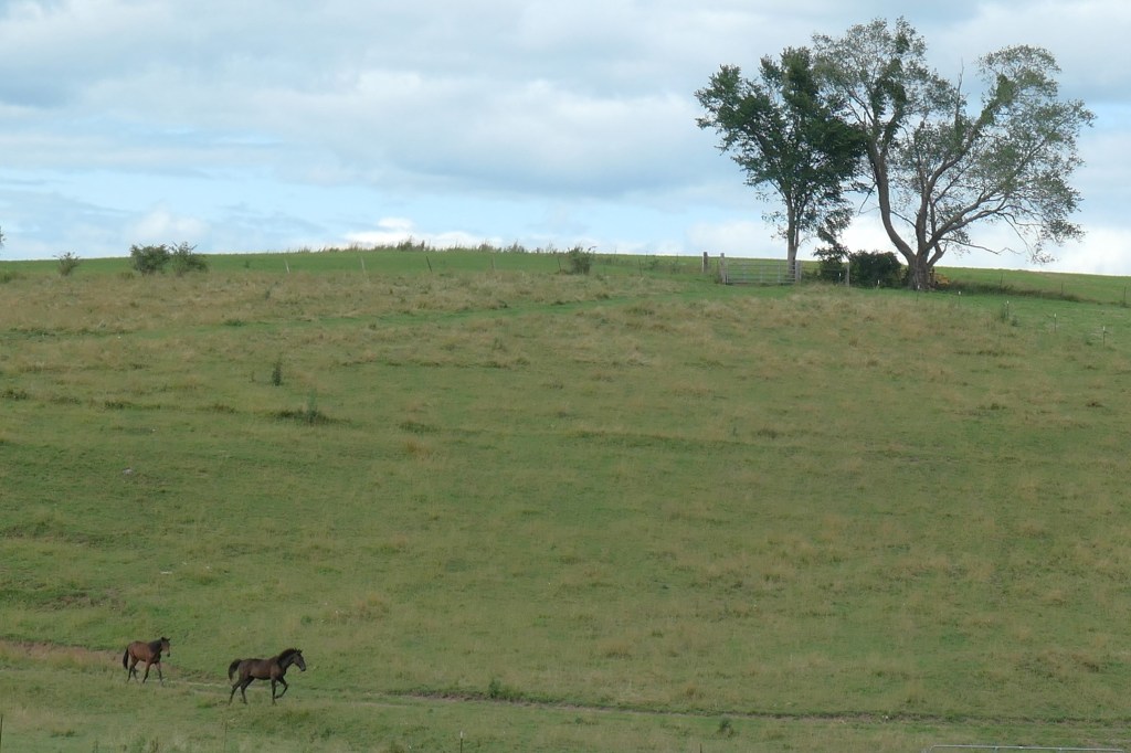
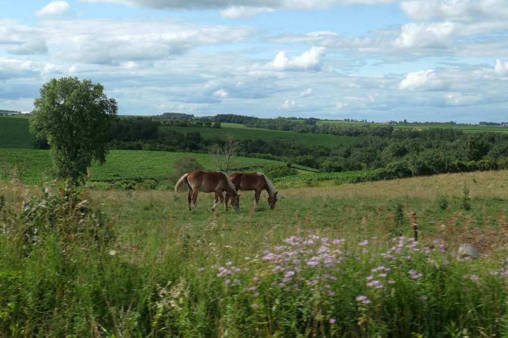
And with buggies, come… horses!
🙂