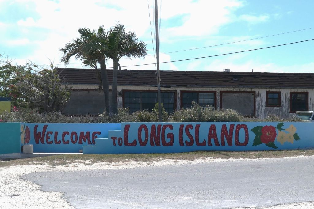
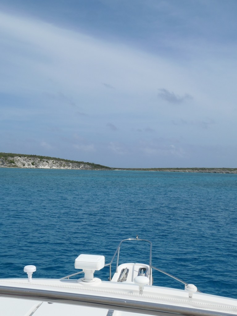
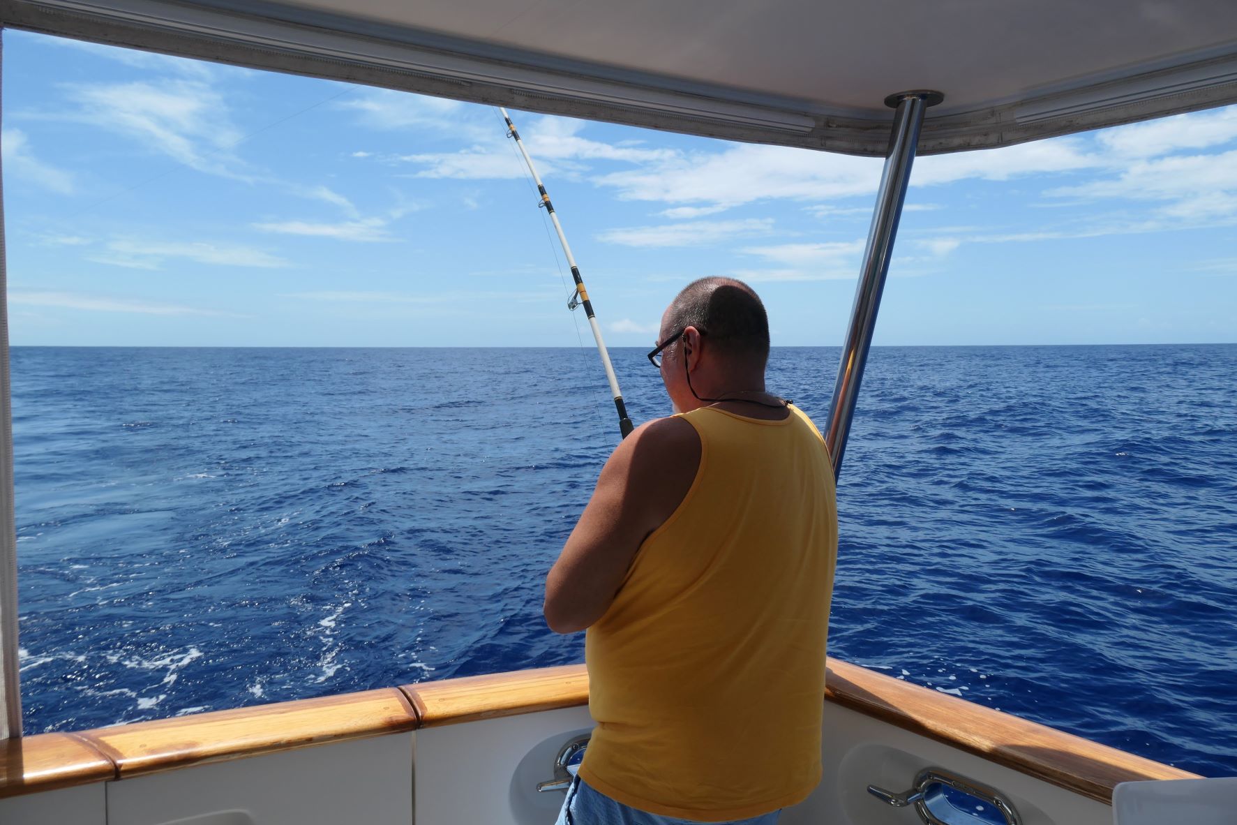
That’s right, we went into the deep Exuma Sound today, therefore (ever hopeful), fishing line deployed! After the last debacle where we lost the whole kit and kaboodle (everything but the rod and reel), we found more lures and tackle at a “store” on Long Island. You know, the “we carry a little bit of everything” kind of store. So, armed with the new stuff, Todd “tackled” up, and out went the line.
This time, he used the rod holder off the cockpit of the boat. Imagine that, using the very rod holder that came with the boat, as… a rod holder!
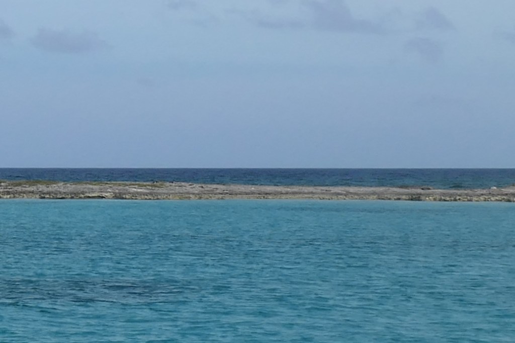
Of course, no action in the expected place, the transition from shallow (less than 100 ft) to deep water. Instead, 3 ½ hours later, most of the way across the Sound, we hear, “Zing!”
Fish on!

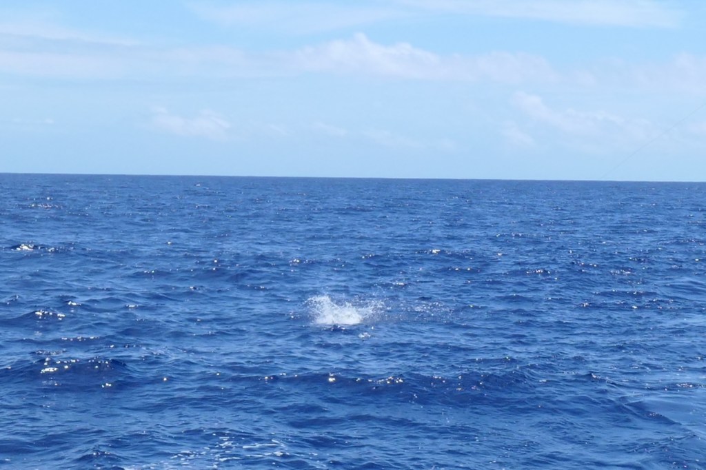
Susie slows the boat, and Todd rushes to the back to set the hook and begin the arduous task of reeling in the leaping beast! It’s a Mahi mahi! We see it jumping, and it’s fighting like crazy! Sorry, too excited to catch a really good picture of the splash. Besides the camera person (Susie) is gathering supplies – gaff, net, knife, fishing gloves, etc. – and doing a happy dance, looking forward to fresh grilled mahi for dinner.
After a good 5-10 minutes of reeling, Todd declares, “I’m seeing the teaser skirt!,” and the fish is not happy! It starts its last bit of jumping and struggling, and then… “ptui”… literally spits out the lure!
What the heck!?
Well….
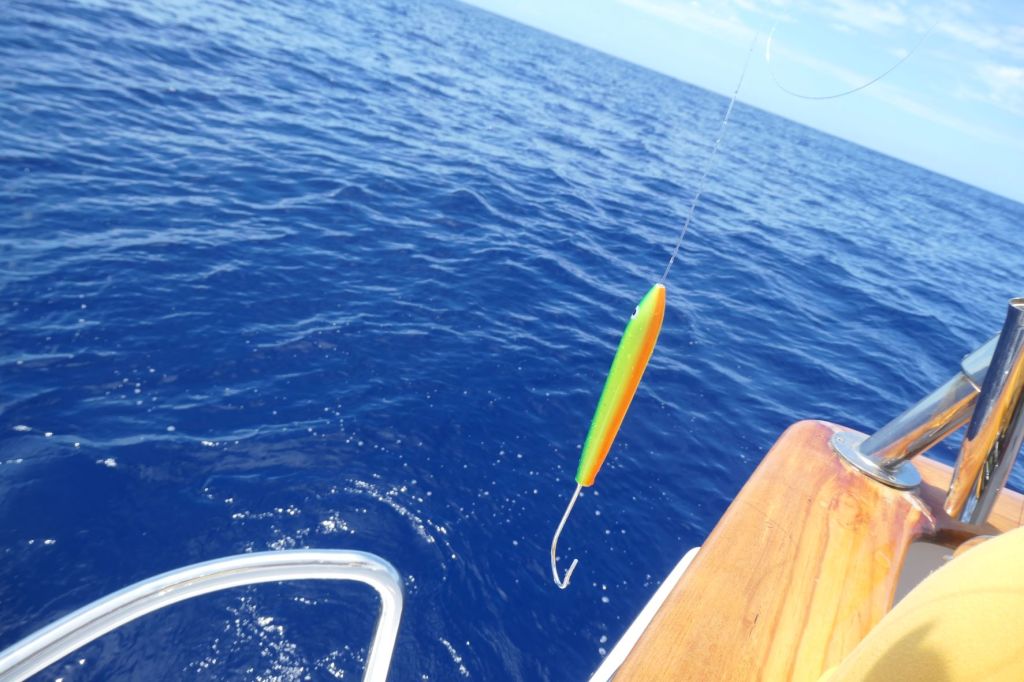
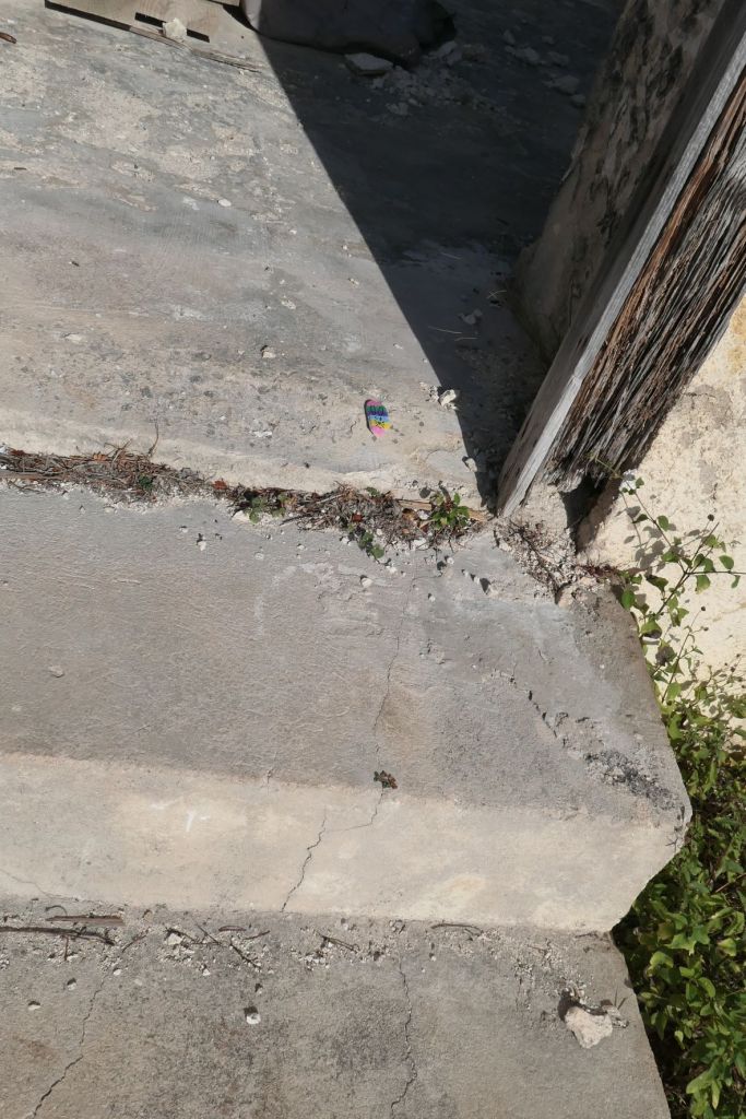
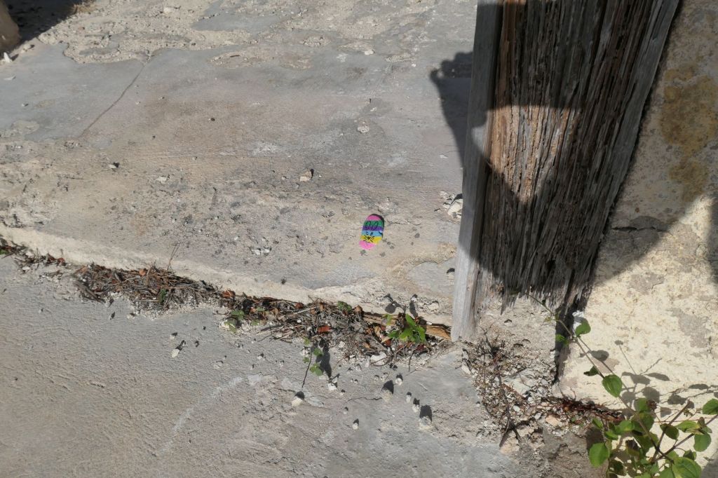
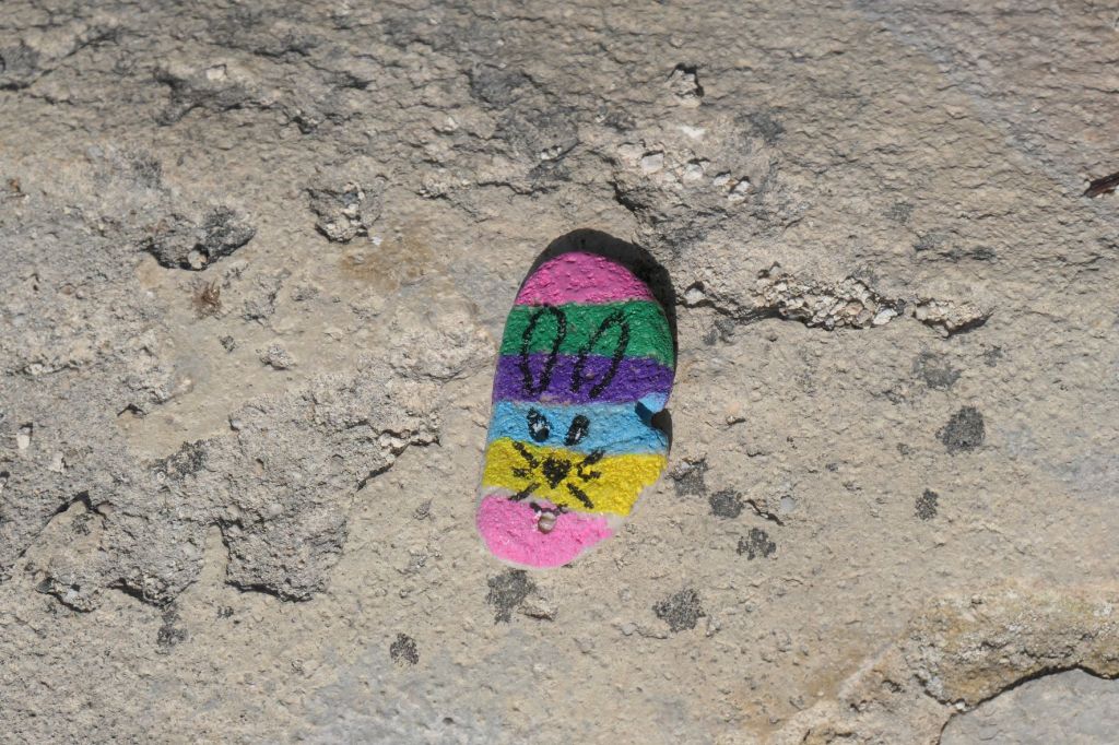
Upon inspection, our intrepid, anxious, desperate fisherman, made an oopsie. See below.

I have to give him credit, he just laughed… a tad maniacally, perhaps… but just laughed and said, “Oh boy, what an idiot.”

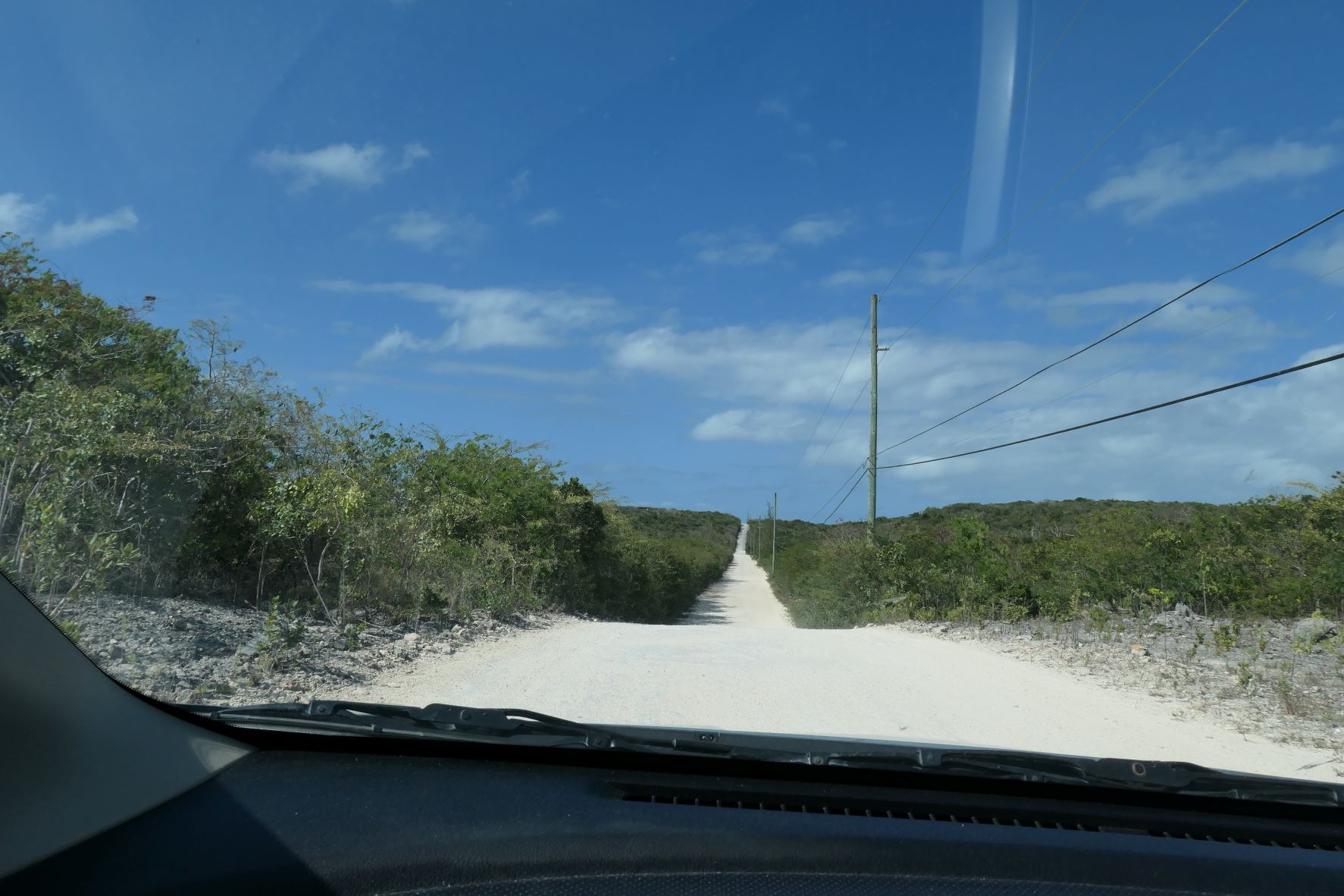
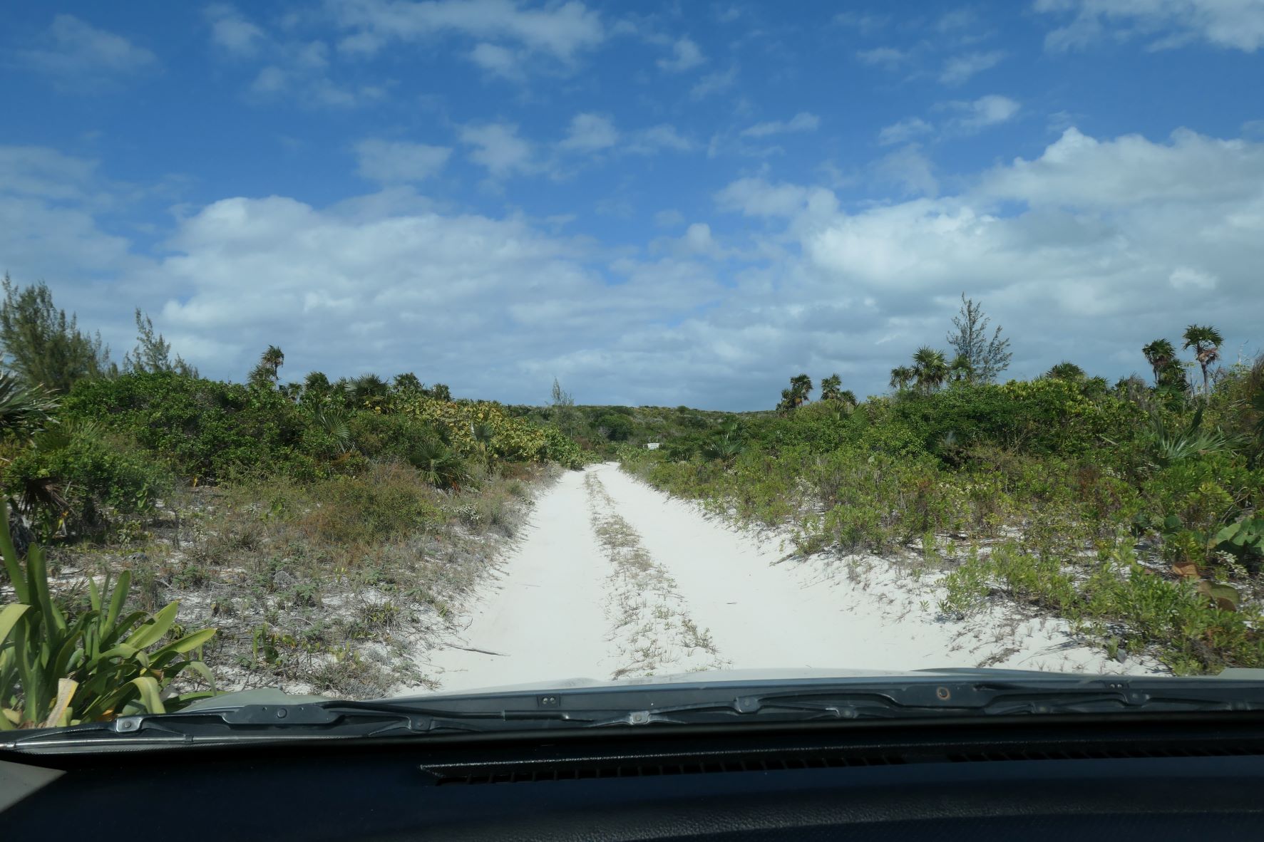
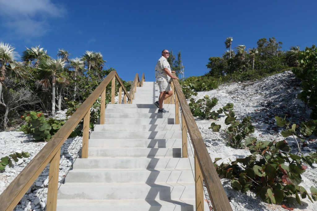
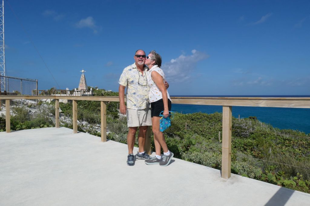
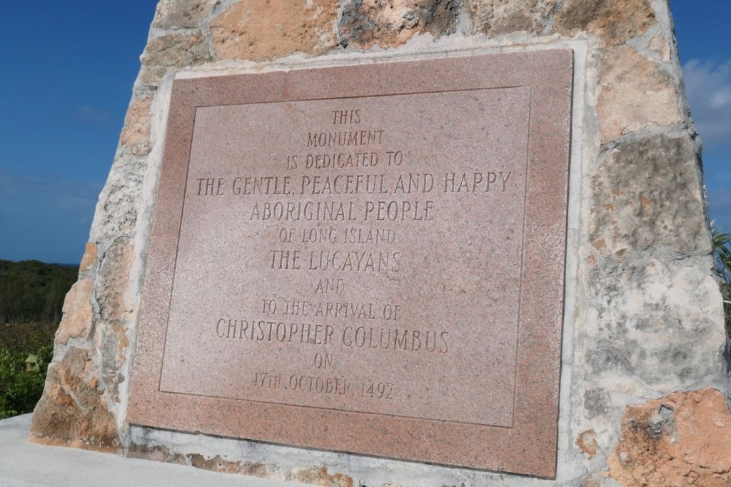
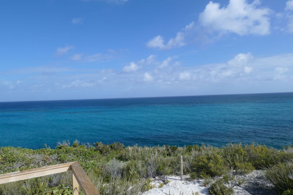
Now that the embarrassing tale is out of the way, just how did we get here?
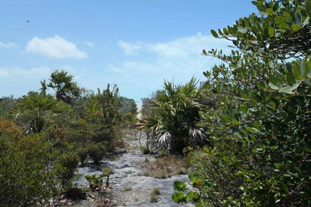
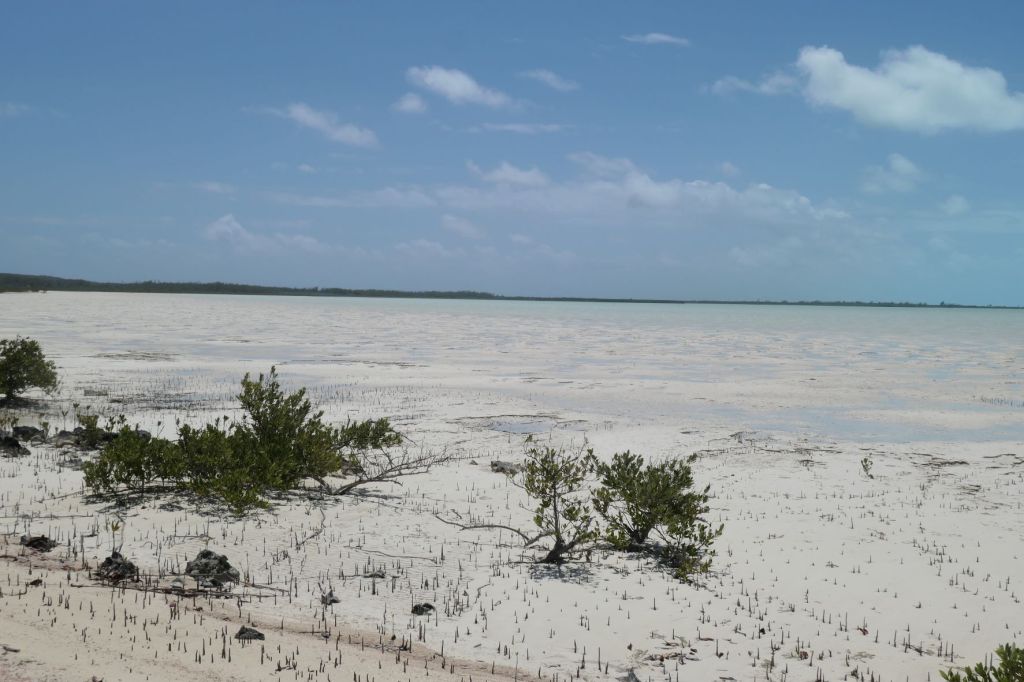
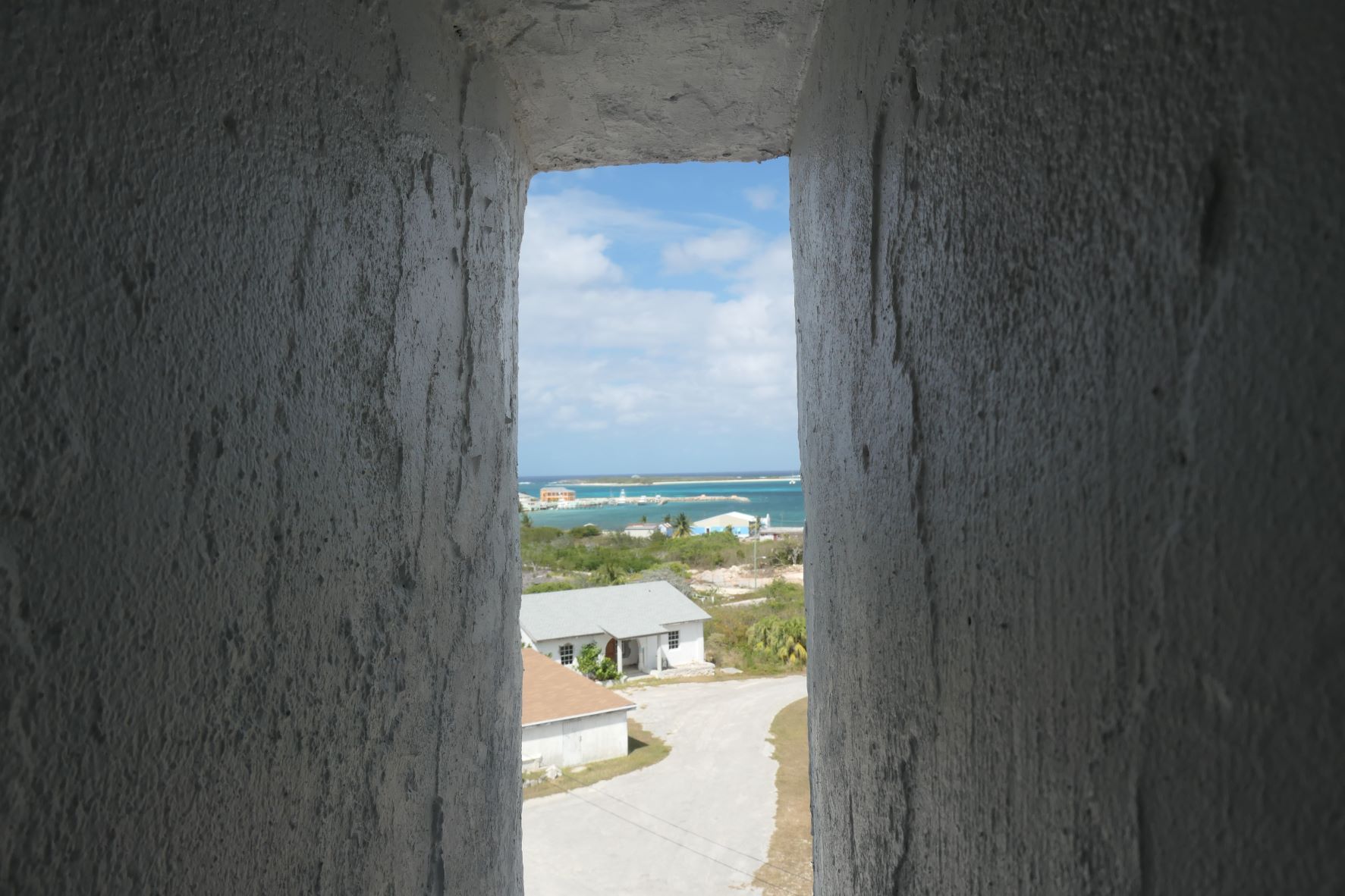
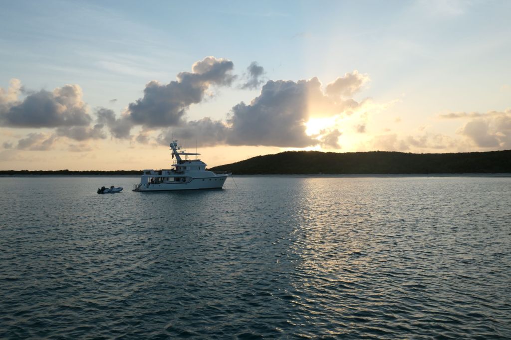
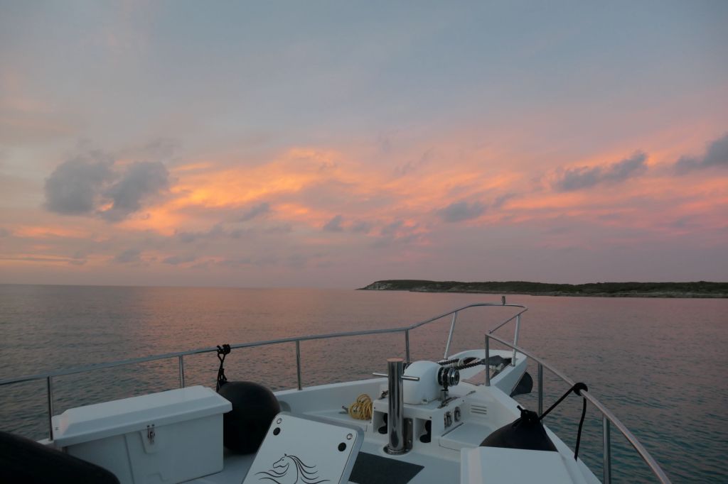
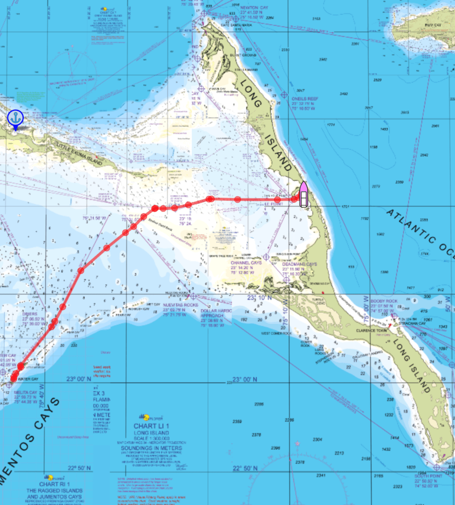
We got up early to watch the Easter sunrise, but the day dawned cloudy and rainy. After waiting out the rain, we left Thompson Bay just before Noon, to position ourselves in Calabash Bay, at the northern end of Long Island, so we could take off for the six-hour crossing to Cat Island this morning.


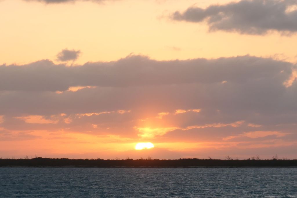
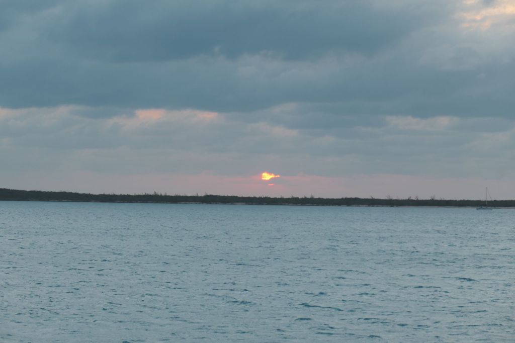
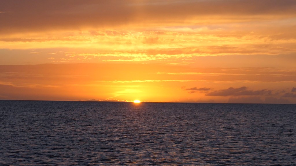
As opposed to the cloudy sunsets we witnessed all week off Thompson Bay, the Easter sunset off Calabash Bay was glorious!
Now, get this posted, Honey. We have to catch our dinner reservation at Rollezz Villas Beach Resort. They mentioned fish…