Hog Cay is ideal for relaxing, but once you’re refreshed, there’s also plenty to see and do – from playing in the water, obviously…
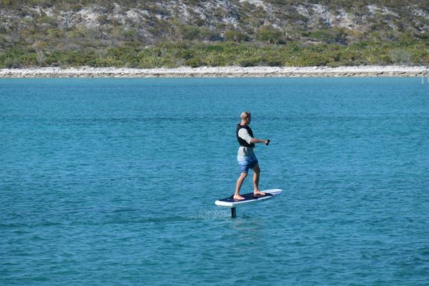
Martin, from SV Marly, trying out Booke-End‘s hover surfboard
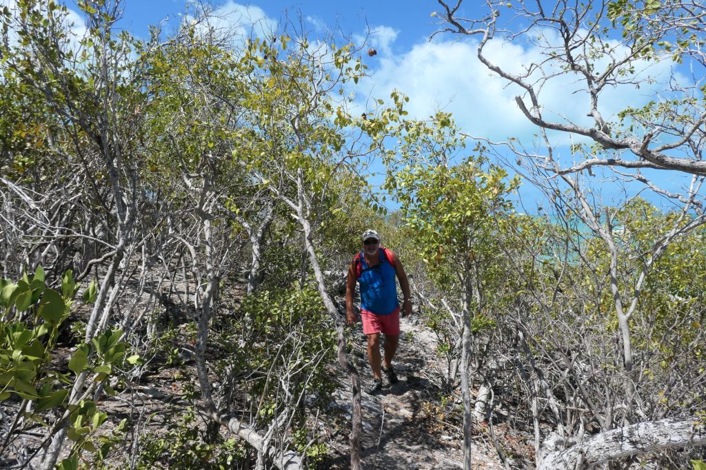
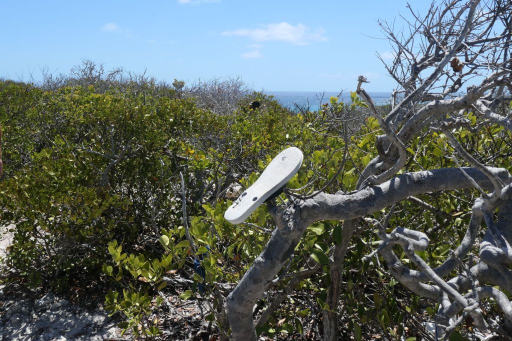
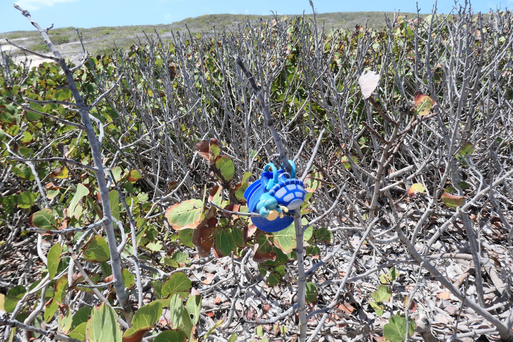
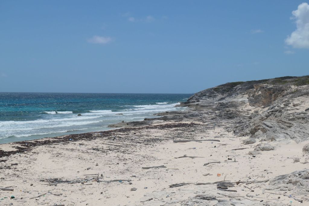
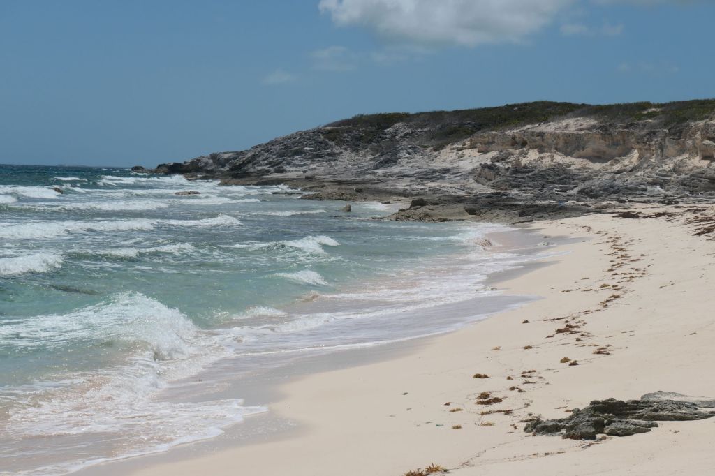
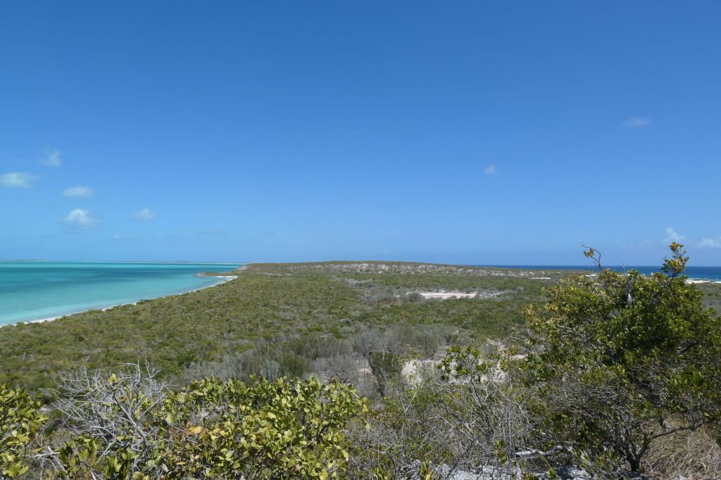
…to wandering long beautiful beaches or hiking winding trails. After being “slugs” on the boat for a few days, it was time to get moving. The trail we selected for a hike to the other (ocean) side, quirkily marked with flipflops and various other items, goes up and over a small hill to the much more rugged side of the island.
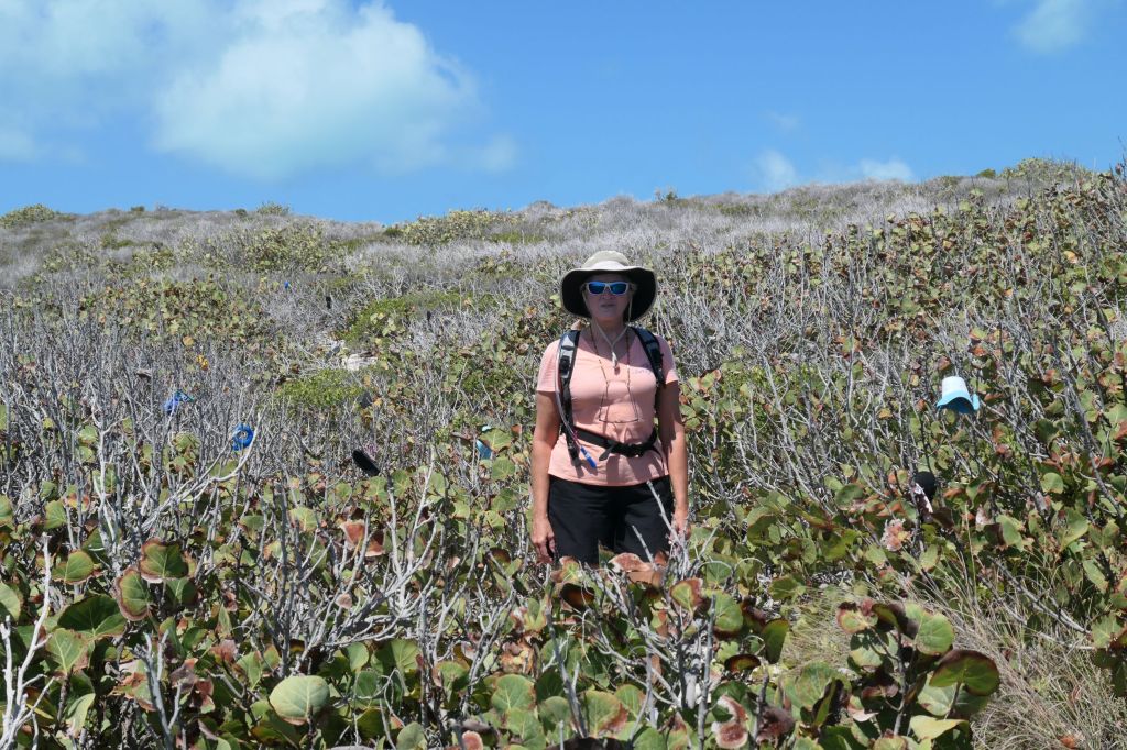
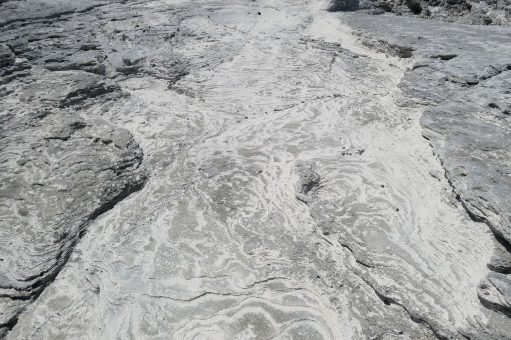
A pirate searches the patterned landscape for “treasure” (might need a bigger boat)Hard to capture in the bright sun, but amazing!
The view from the top of the hill is spectacular!
Turquoise waters of the Great Bahama Bank on one side & the deep blue Atlantic on the other
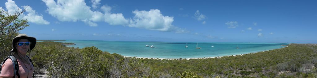
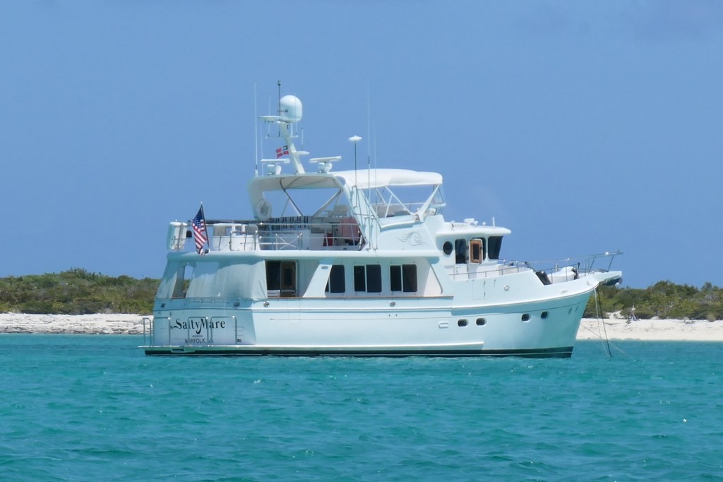
Taking in the “aah” momentSaltyMare (far left)in heridyllic anchorage
Alas, all good things must come to an end. It’s time to leave this tranquility to begin slowly working our way back north.
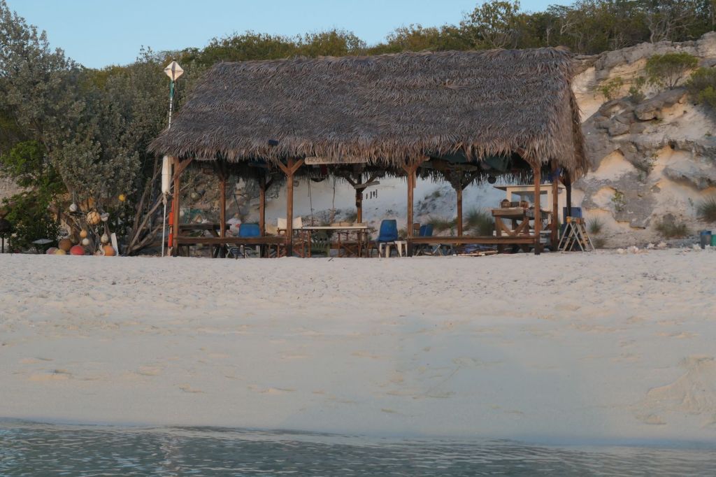
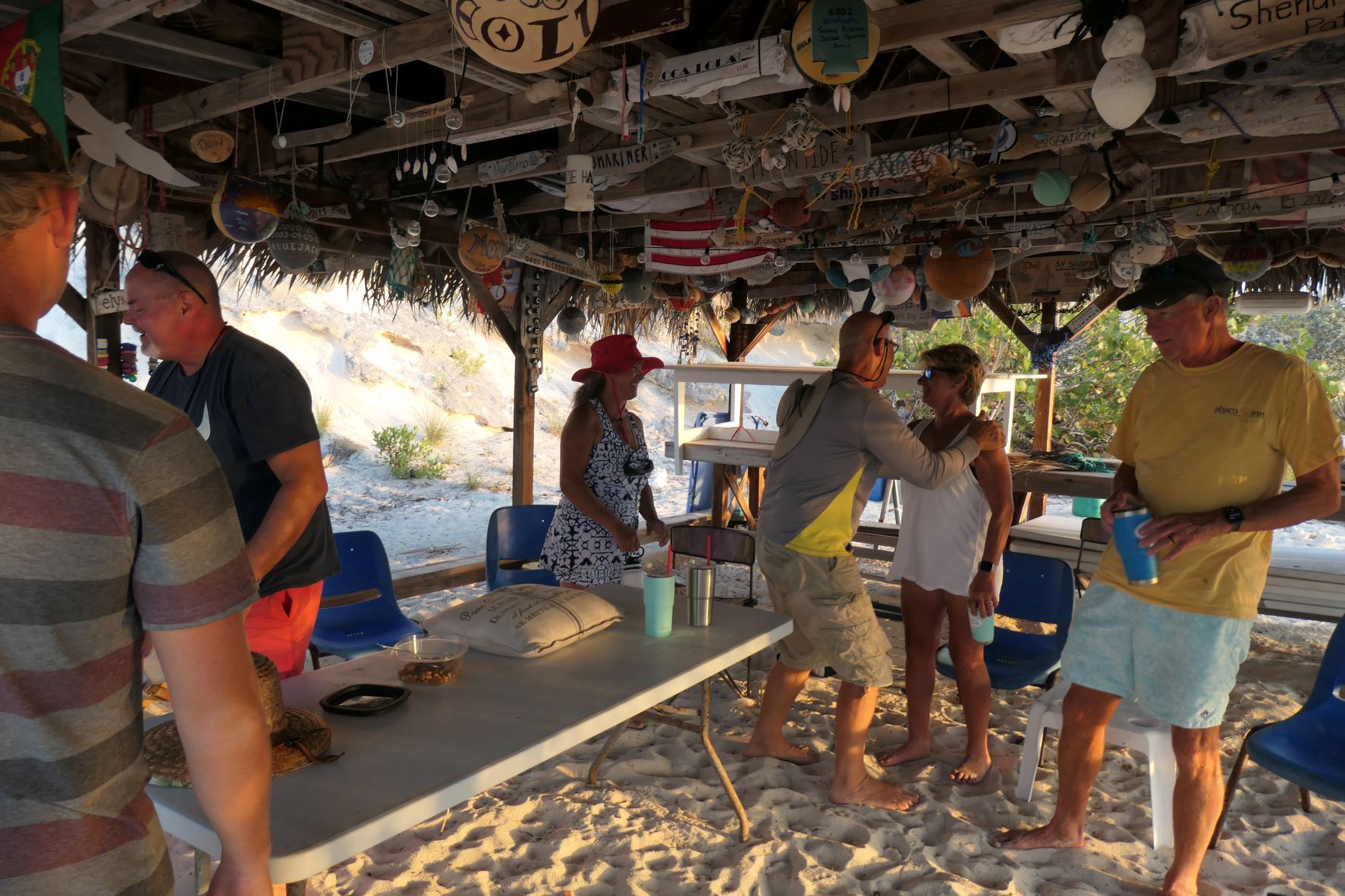
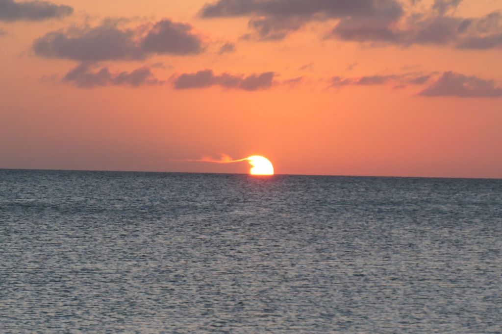
Our first excursion was over to Duncan Town on Ragged, but what about right here on Hog Cay? We’ve already ranted about the anchorage, as it’s the most picture-perfect we’ve seen. Apparently we are not alone in that thought, as each year around Valentine’s Day, a sizable gathering of cruisers meets here. Maxine, from Duncan Town, along with others, hosts a big party/feast, and items donated by the cruisers are auctioned off to benefit the school. We’ve been told it’s those cruisers that are responsible for building and maintaining the tiki hut. Whoever did it, they made a perfectly positioned spot in paradise for getting together to watch the sunset.
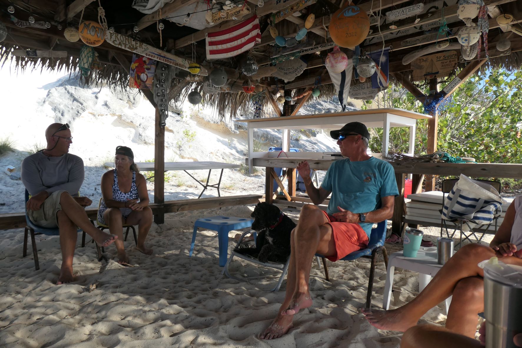
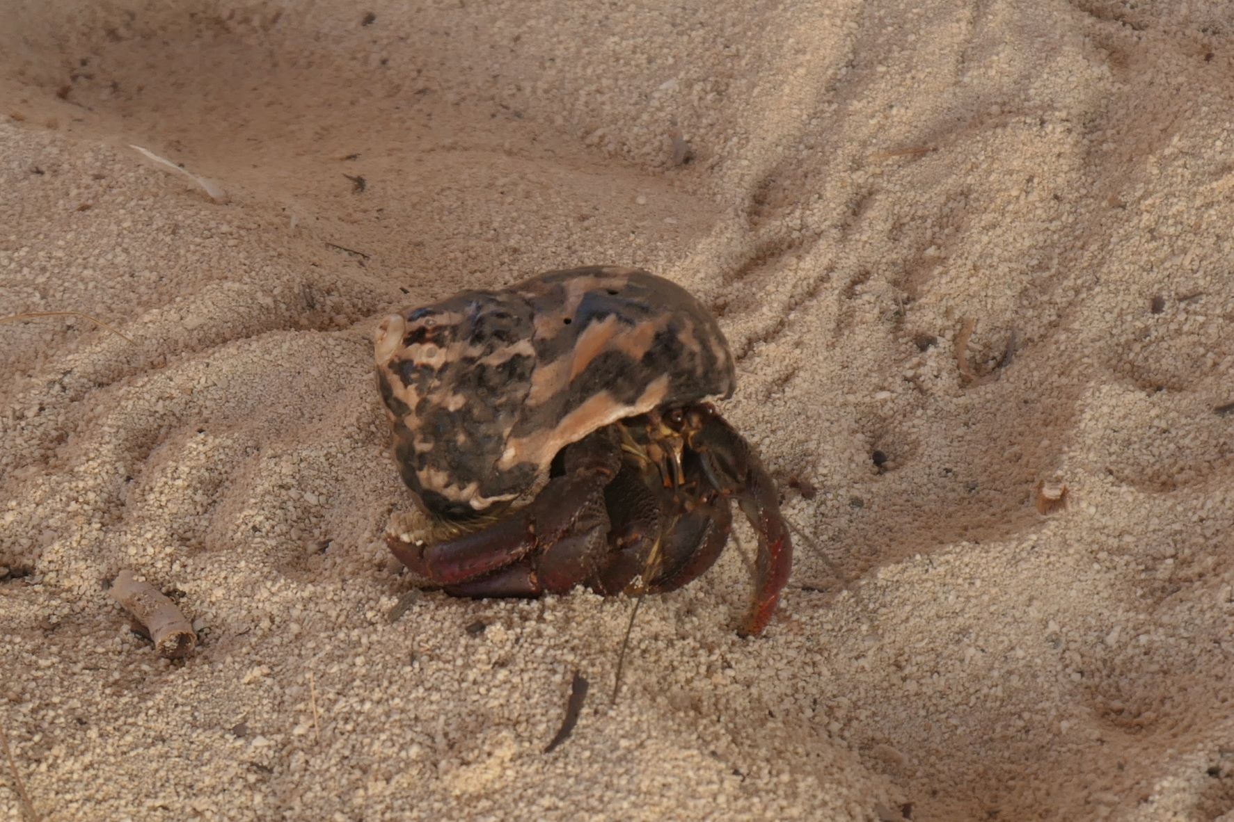
The tiki hut is great for gathering to chat at days end or bid farewell at the end of a stay and wish each other safe travels. Any food dropped in the sand is cleaned up by visiting dogs or the resident hermit crabs!
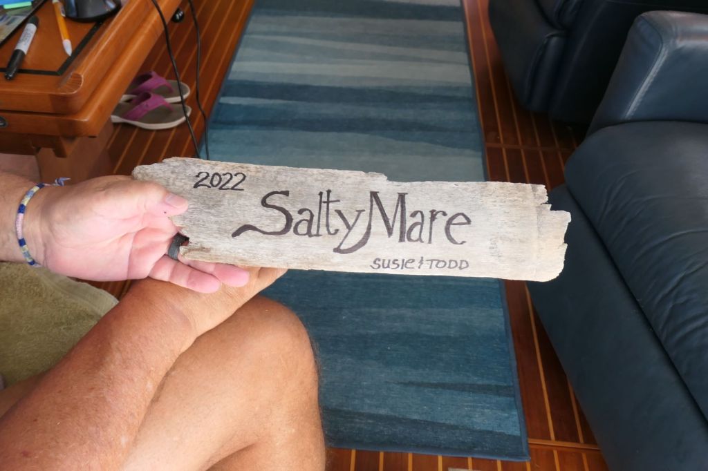
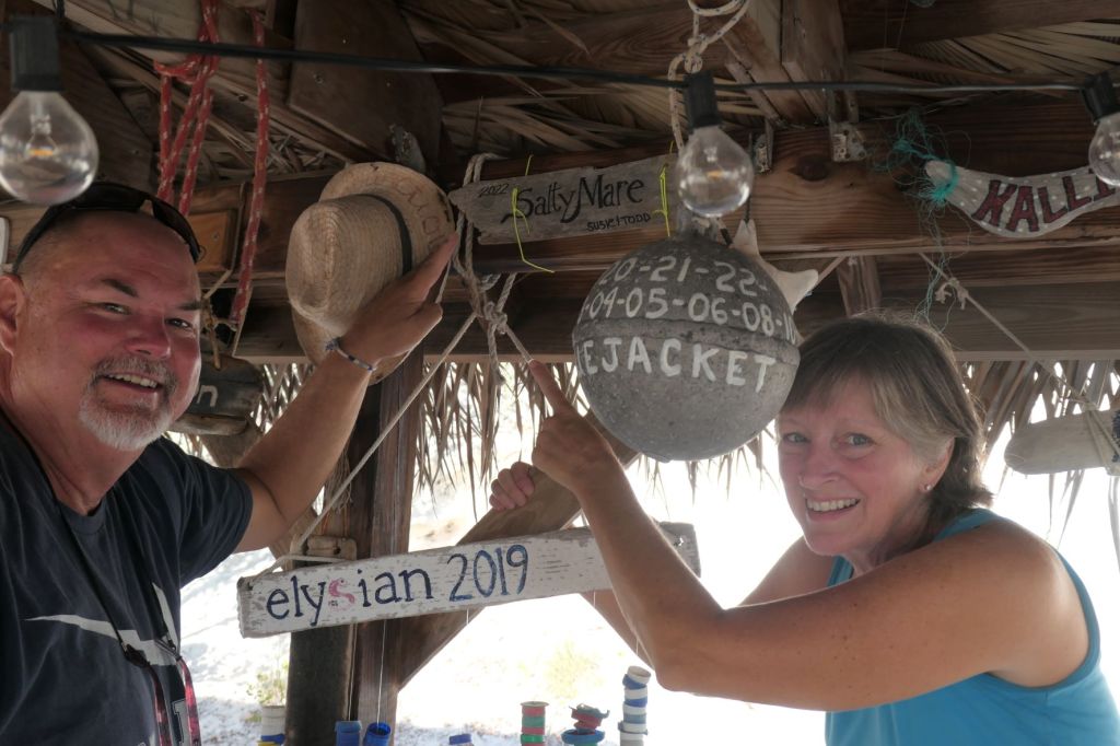
Cruisers leave mementos of their visits in the rafters of the hut. We liked Hog Cay so much that we created a sign from a piece of driftwood to leave our little mark.
Room to add more “year” designations as needed… 🙂 Look at the “ball” buoy below; that’s a lot of visits!
Yeah, we been “like a couple of islanders” in a great anchorage, and we didn’t mention it, but the clear water is 92 degrees. More “ahhh…” But, those that know us, know we don’t sit still for long. So after a couple of chill-lax-ing days, we actually started to stir a bit. Kinda moving on island time.
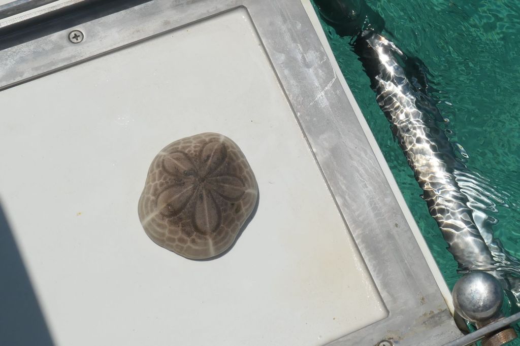
First up, Todd took a swim, of course, and brought up another gift – a beautiful sea biscuit, cousin of the sand dollar. In the zoomed view, you can see all the little dots where the tiny spines were attached.
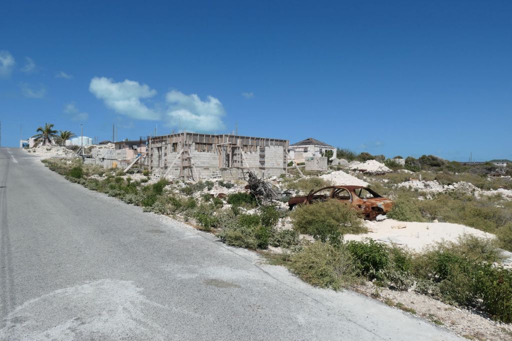
History of the Ragged Islands is murky at best. Generally accepted was they were granted by the English King to William George Lockhart back in the 1700s. Most of the families that live in Duncan Town are somehow related to Lockhart. The town is the only settlement in all of the Jumentos and Ragged Islands. It’s located on the island next to us called Ragged Island. Part of the economy is provided by the ancient salt pond used for salt harvesting. Unfortunately, Ragged Island was hit hard by Hurricane Irma in 2017. The government in Nassau has finally started to rebuild various public structures.
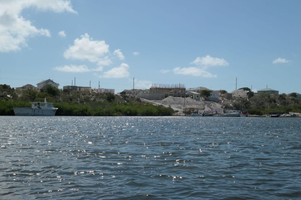
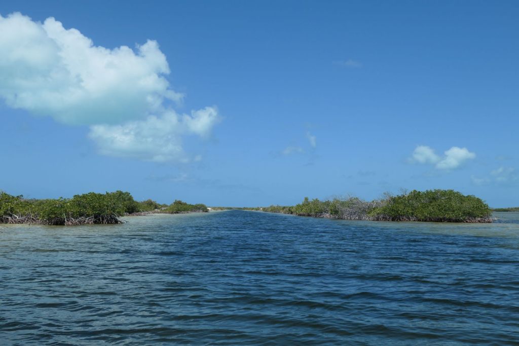
The town is accessed by a slim channel on the “back side.” So, off we went to find the charted “narrow dinghy channel” that should lead straight to Duncan Town. We turned a bit early and ended up cruising the shallow sand flats (perfect for bonefishing) for a few minutes before the dinghy’s chart plotter and GoogleMaps (what would we do without our smart phones) agreed on a heading to find the opening of the channel.
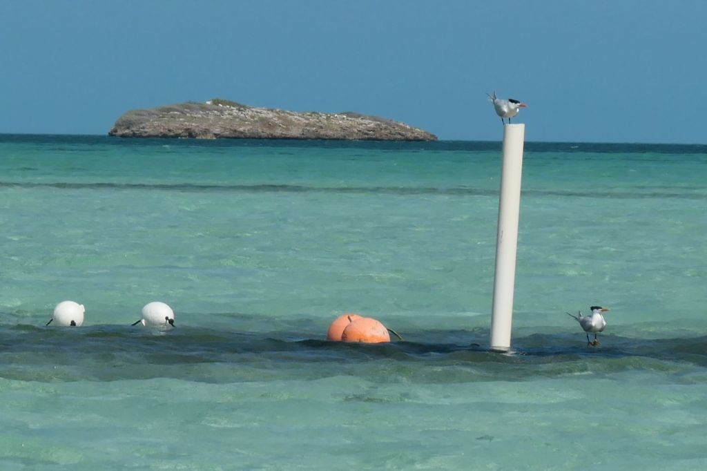
Common Terns or Guardians of the Flats? They weren’t helping at all.
Oh, there it is! Clear as day once you know where you’re going.
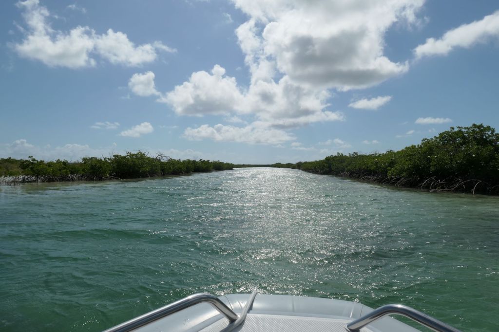
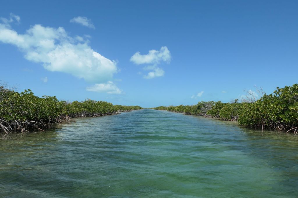
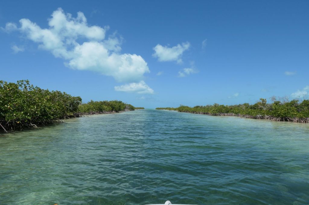
Down the long, narrow dinghy channel
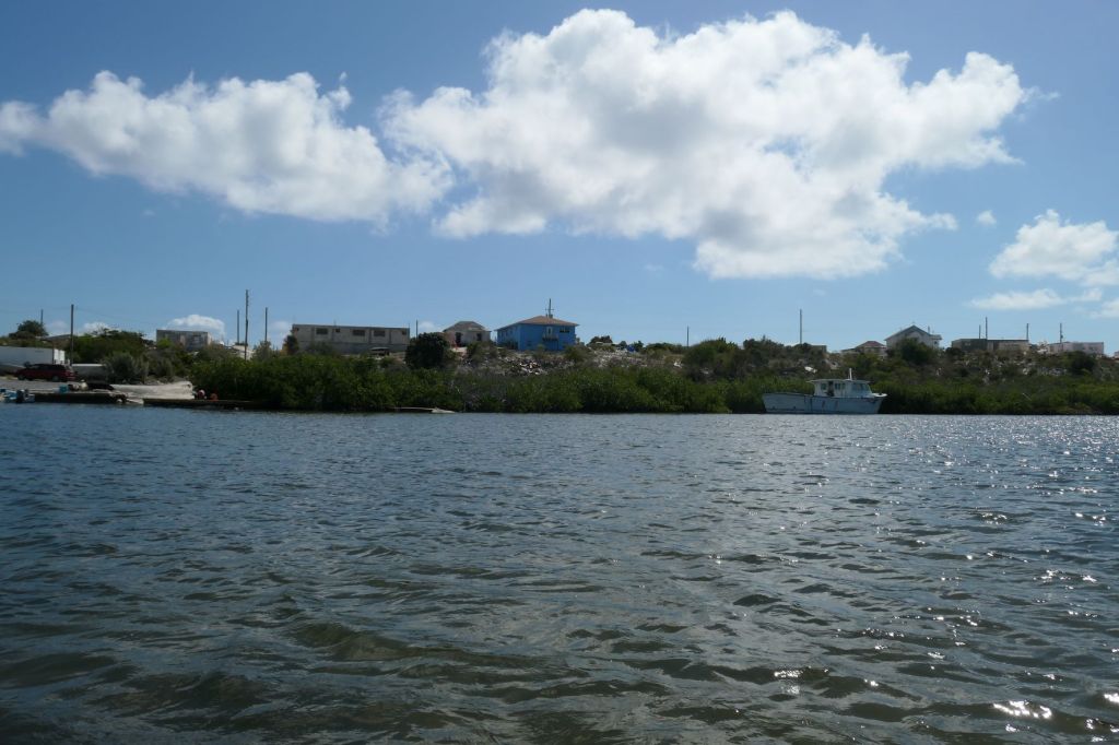
to Duncan Town
to tie up near the fishing boats
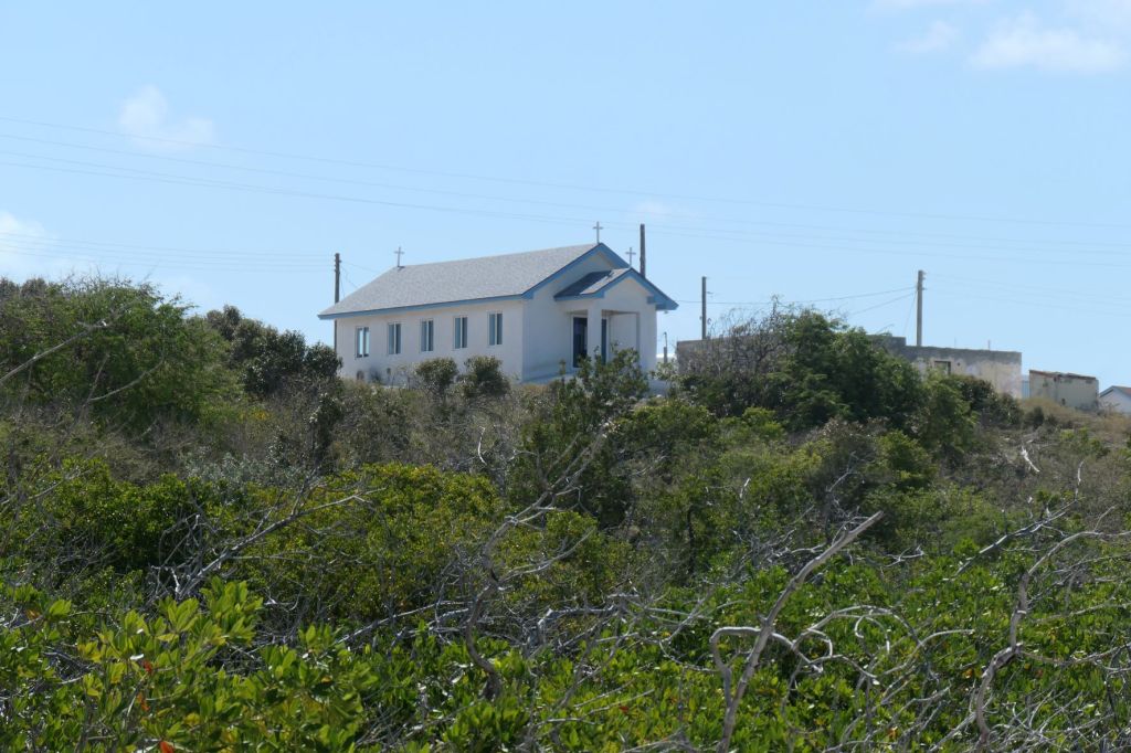
After securing the dinghy, it’s time for some shoe leather express exploration. The first thing that caught our attention was the newly rebuilt, pretty, little church on the hill.
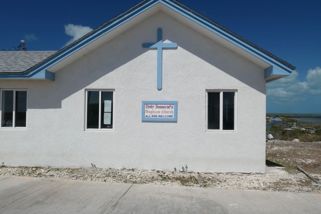
Holy Innocent’s Anglican Church
where All Are Welcome
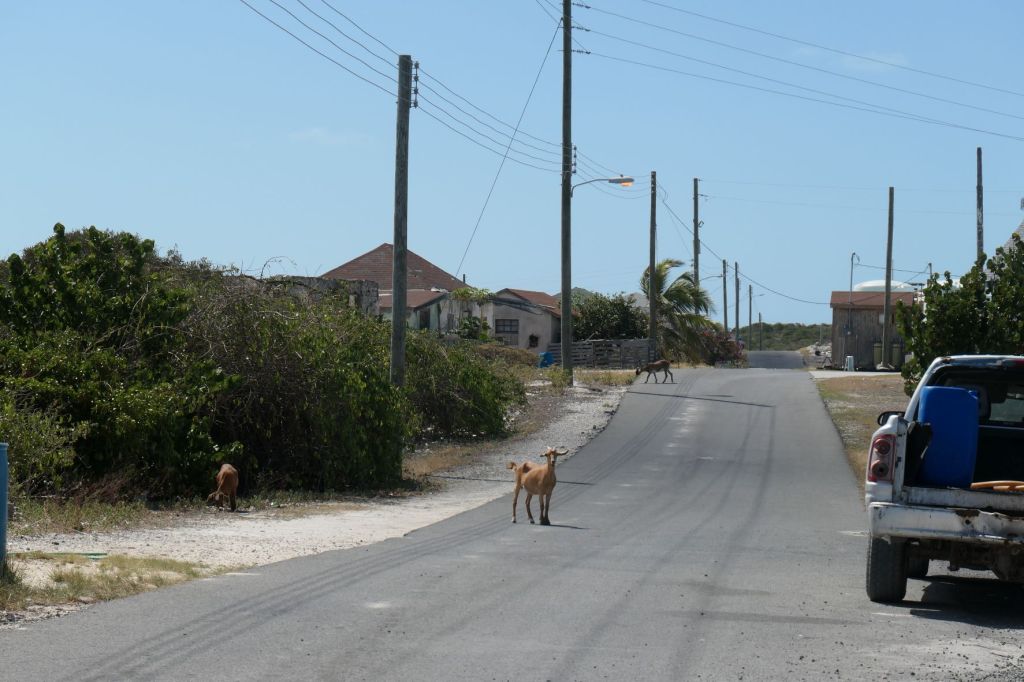
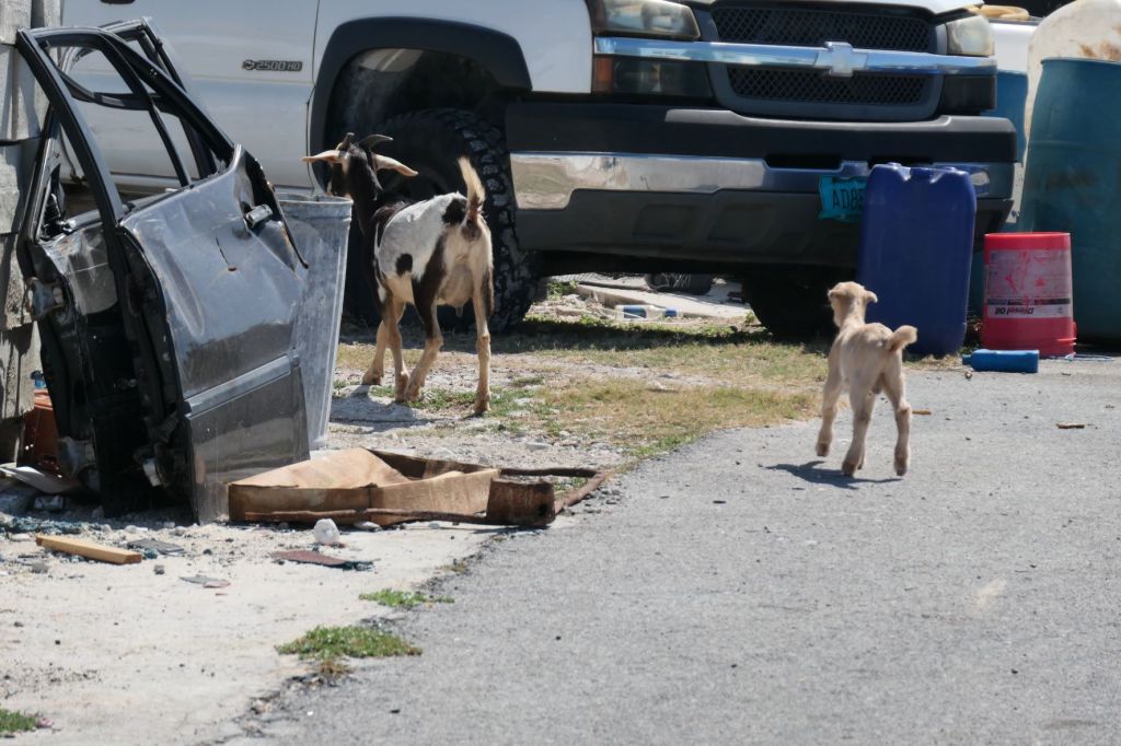
even… the goats??
Actually, there are goats everywhere. The townsfolk are not fans of all the wandering goats – makes it difficult to maintain any sort of plantings, garden or floral.
Wandering the streetsWait, mom
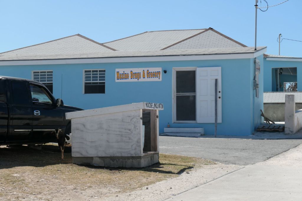
We’d been told to be sure to meet Maxine, but when we popped in, she’d gone fishing. (Hopefully, she has better luck than Todd.) We were sorry to miss her, as she is the source of all things in Duncan Town.
Maxine Drugs & GroceryOf course there’s a rooster
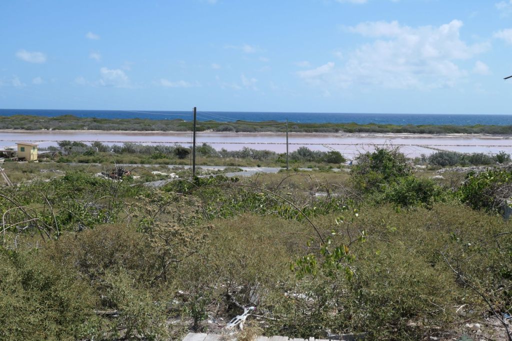
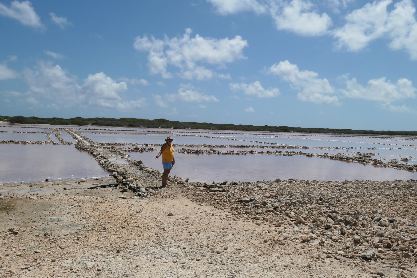
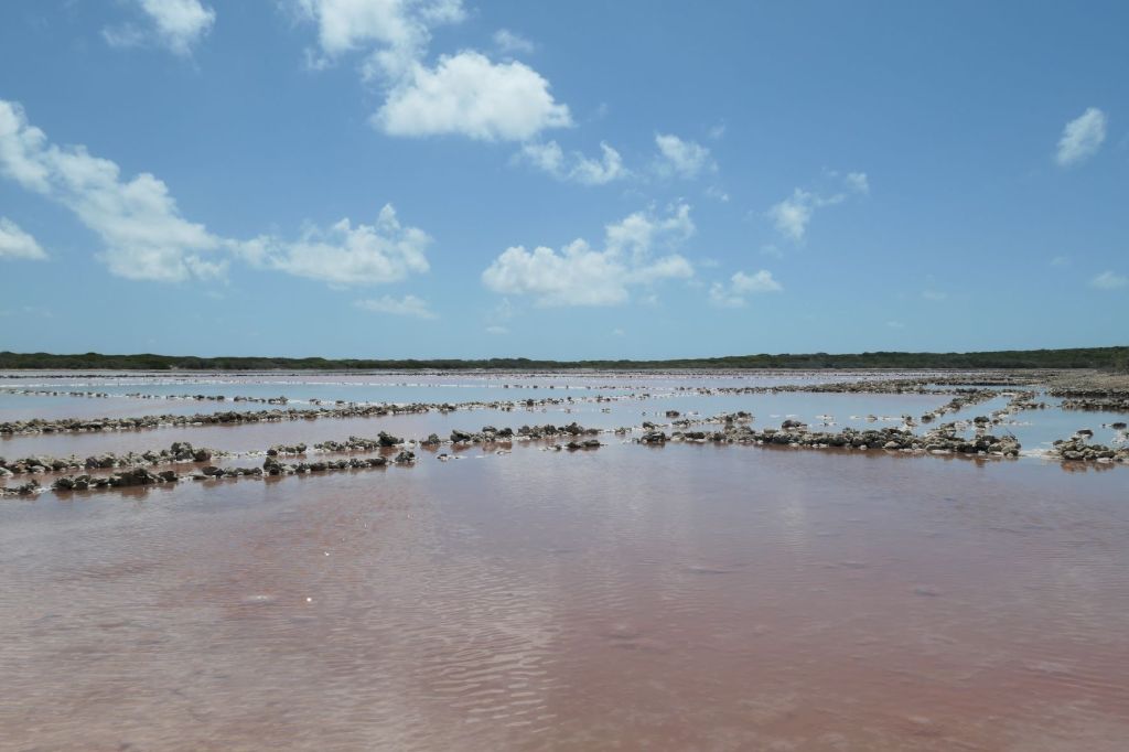
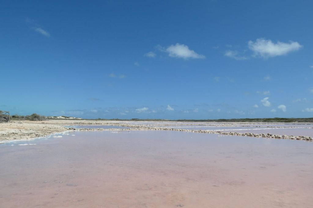
From Maxine’s place at the top of the hill, we spotted the salt pond.
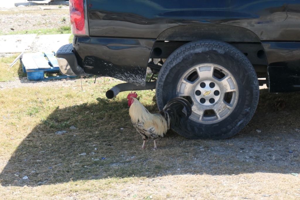
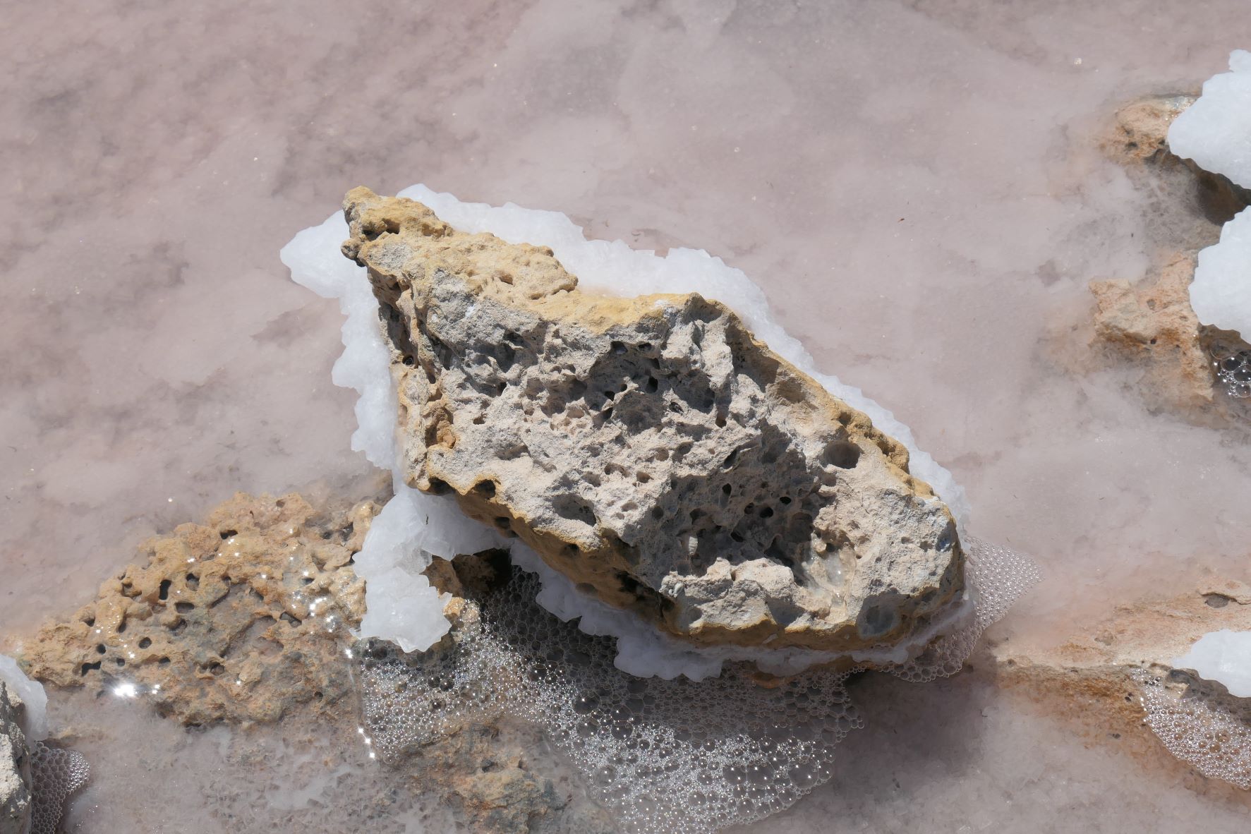
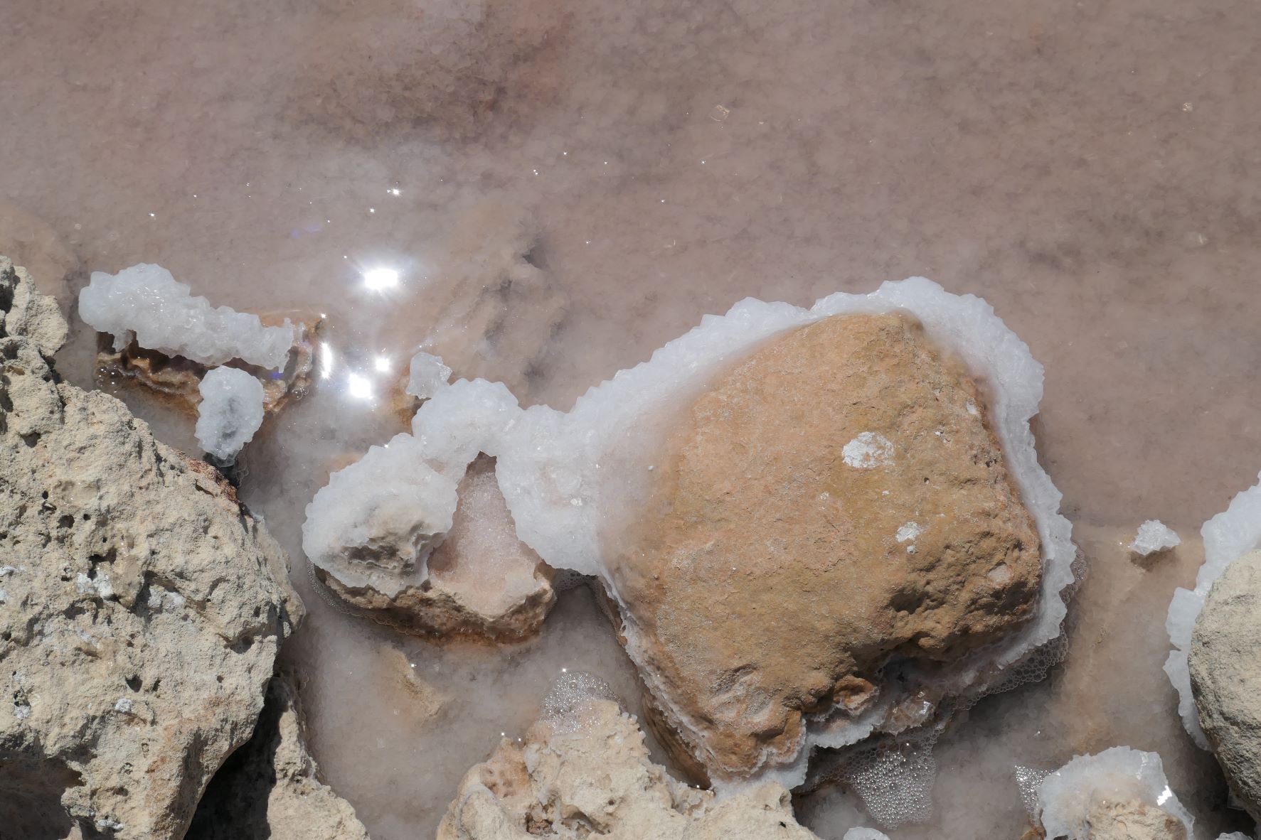
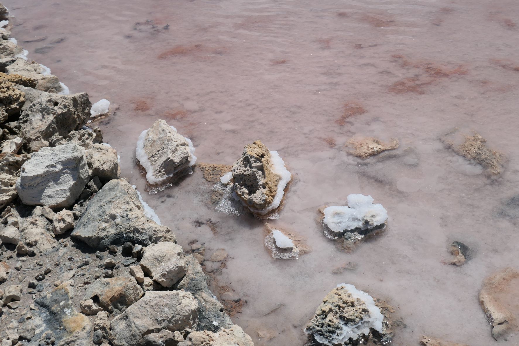
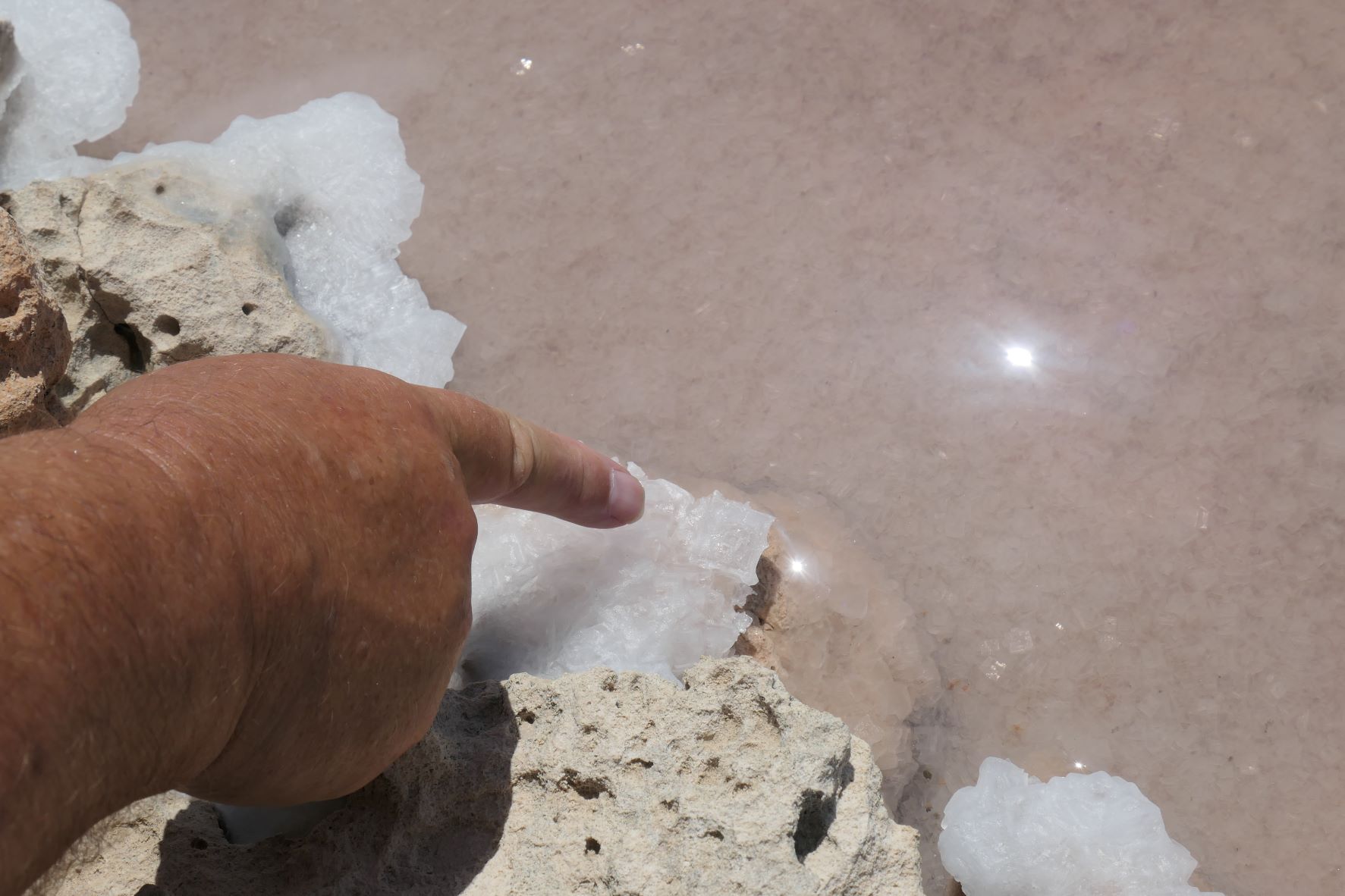
So we took a walk down there. No one was around except the goats. Plenty of goats. Oh, and a few chickens rustling around in the bushes. The salt pond was pretty cool. Through evaporation the salt just crystalizes on the bottom and anything around.
The salt pond goes on for a long way…in both directions.
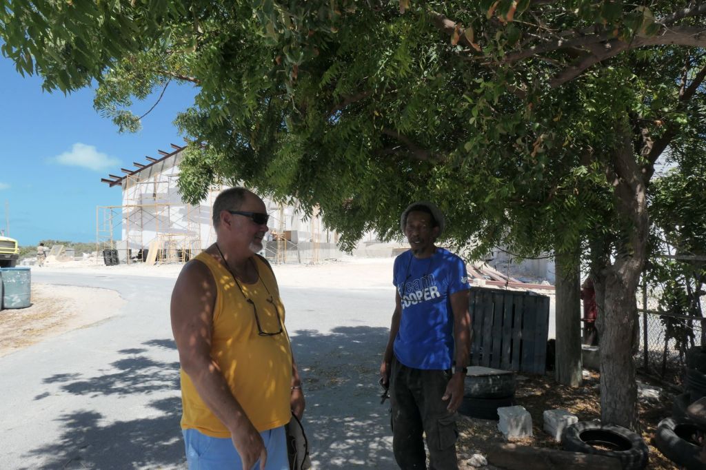
When returning from the salt pond, we met Myron, who kindly indulged us for a few minutes with some talk about life in the town and the rebuilding since Hurricane Irma.
We are in the islands; naturally we stand in the shade to chat with Myron,who can fix anything!
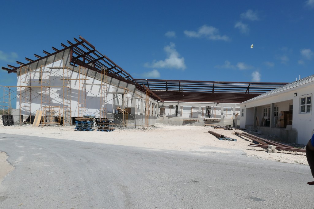
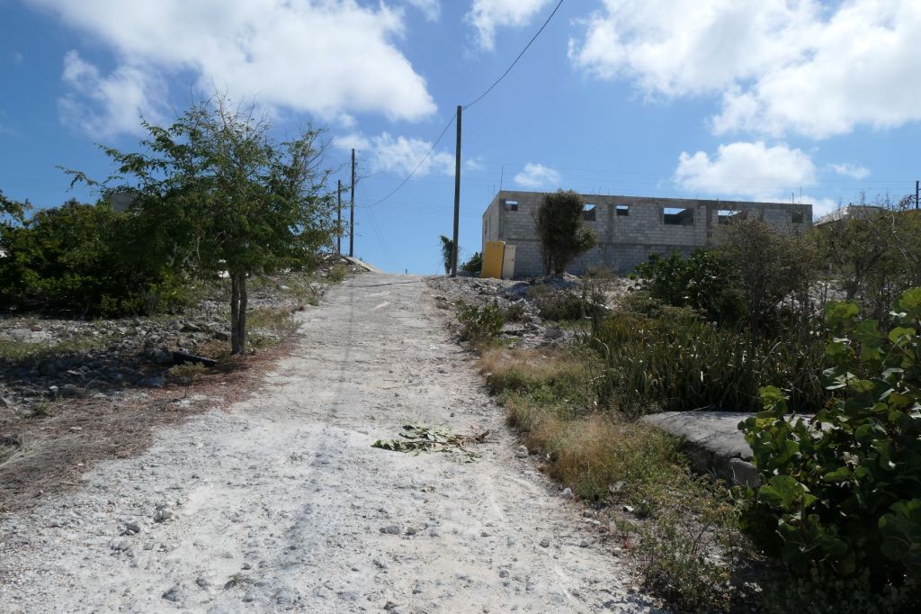
Lots of storm damage recovery from Hurricane Irma…
Plenty of homes being rebuiltRehabbing the school and fortifying it as a storm shelter
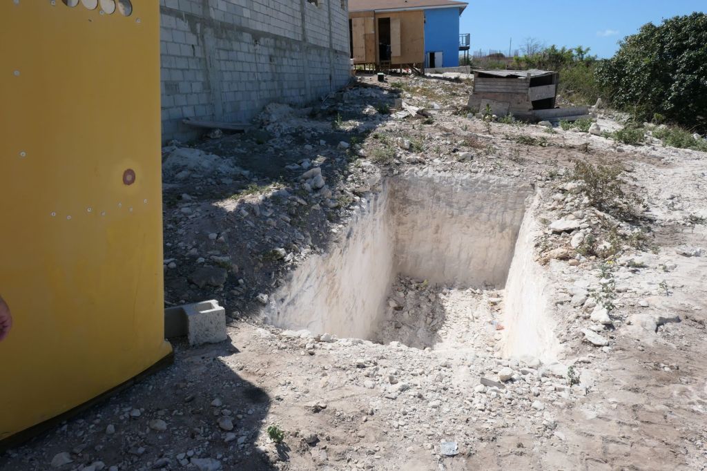
And hills, and HARD ground… that hole will be for a water cistern for rainfall.
A couple of interesting tidbits…
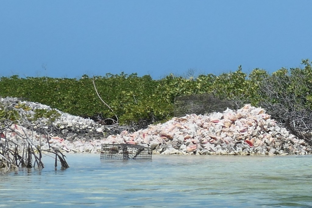
Conch drying in the sun. Myron says the taste is “unique.”Slowly filling up with glass bottles
That was a pleasant morning, but it is time to wander back to the dinghy and out the channel…
The view of the dinghy channel from the top of the hill. The sand flats are in the upper right, only about 2′ deep.
The long narrow channelLarge pile of conch shells along the sideAnd more long, narrow channelTil, finally, there really is an opening up there
Once you make the opening, you can pick up speed again.
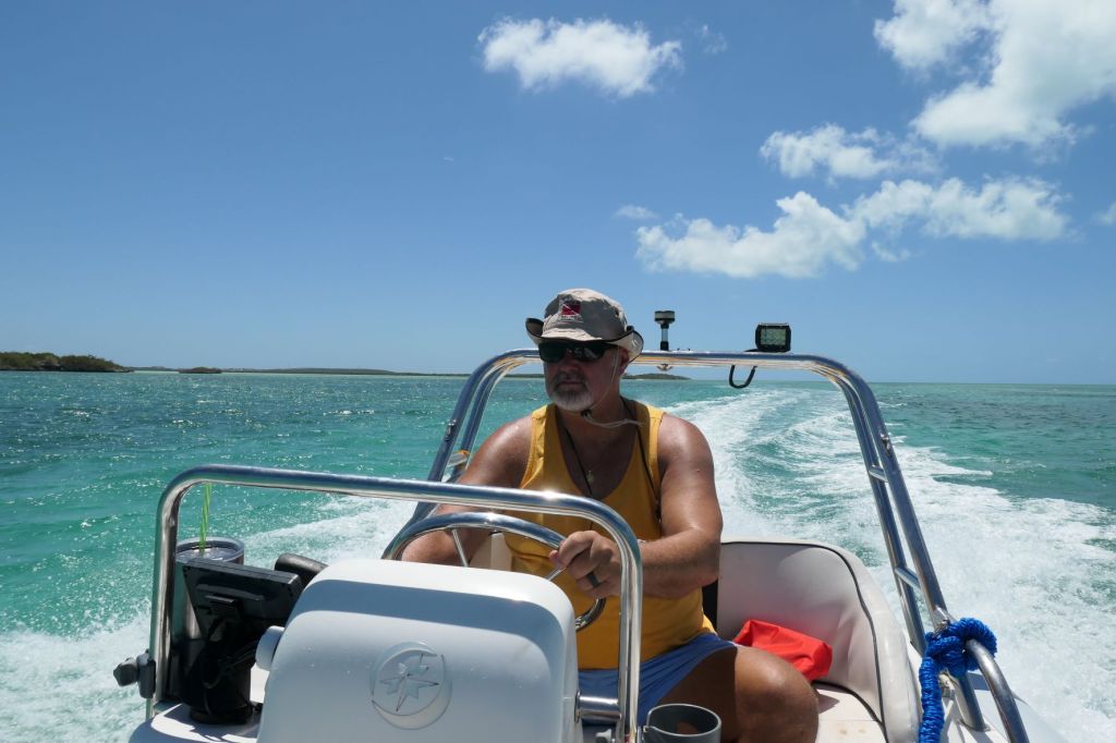
Captain Todd getting us safely back
to the Mare tied up in the prettiest anchorage we’ve seen.
We’ve met some wonderful folks in this beautiful anchorage. Looking forward to a hike and more sundown time in the tiki hut!
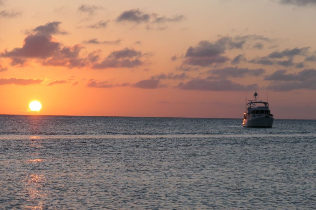
The weather has been absolutely beautiful. Todd claims this is the first time the instrument on the top of our boat registered greater than 80 degrees since we left the States. As we pulled in we saw 80.6 degrees, light breeze, flat clear water, puffy clouds and not a rain drop in sight. Idyllic.
So what did we do? Washed the top half of the boat, of course! The SaltyMare was living up to her name a little too much. Boy, was she a crusty, salty girl. She’s a lot of boat, so we break the task into several days. As the salt and grime gets washed away, Susie swears you can feel her withers tremble! Okay, we’re silly, and we love her. In the late afternoon, we took the dinghy over to Booke-End to say hi and learned about several hikes right here on Hog Cay and the “tradition” of the Tiki Hut on the beach. We were pooped so back to the boat we went.
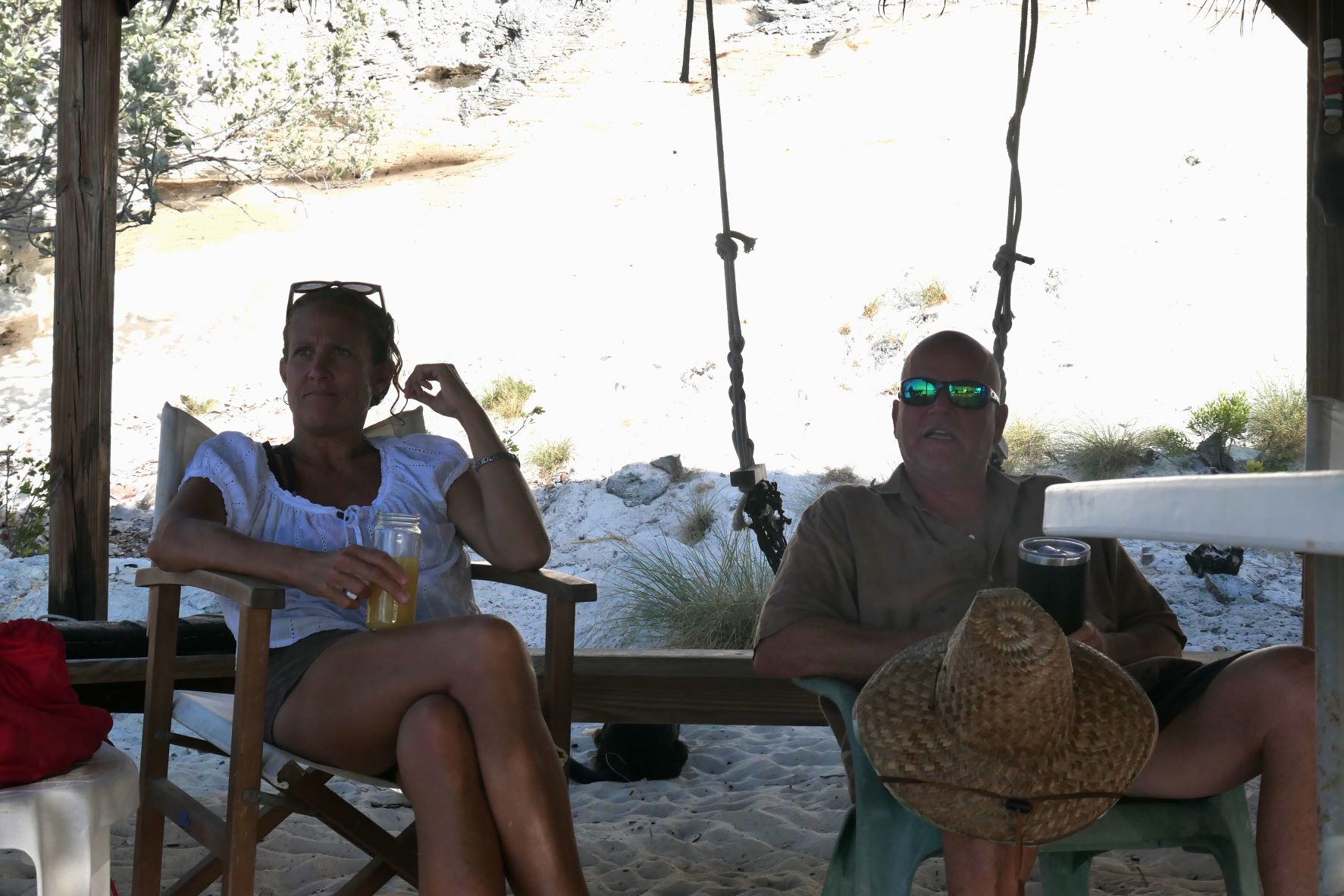
Next day, it was a bit like our friend Peggy on Simplicity says, “Groundhog Day.” After a leisurely morning, we washed the main deck of the boat, the and house, and the hull to the lower rub rail (in other words, the rest). Later we did go over to the Tiki Hut to meet and greet 4 of the 5 couples in the anchorage. We never saw anyone from the one sailboat that left the next day.
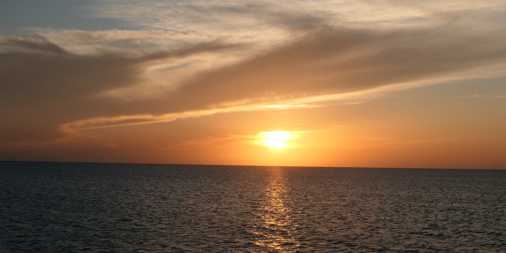
If you noticed a pattern, well, admittedly, it’s there. We’ve all seen those pictures of the azure water, brightly lit, crystal blue skies, and white sand. You look at one and just say “ahh,” and your soul relaxes. Well, amazingly we’re there. Between the glorious weather at 80 degrees (not 81 or higher, just 80), the wonderful light breeze, and the rock calm anchorage, we have weirdly settled into an absolute “chill” state. No rushing to the island for walks on the beach or through the “woods,” no exploring on the dinghy with snorkel gear aboard looking for underwater wonder, no hurrying to the “town” in search of supplies we don’t really need. Nope, just “Chill.” It’s been wonderful.
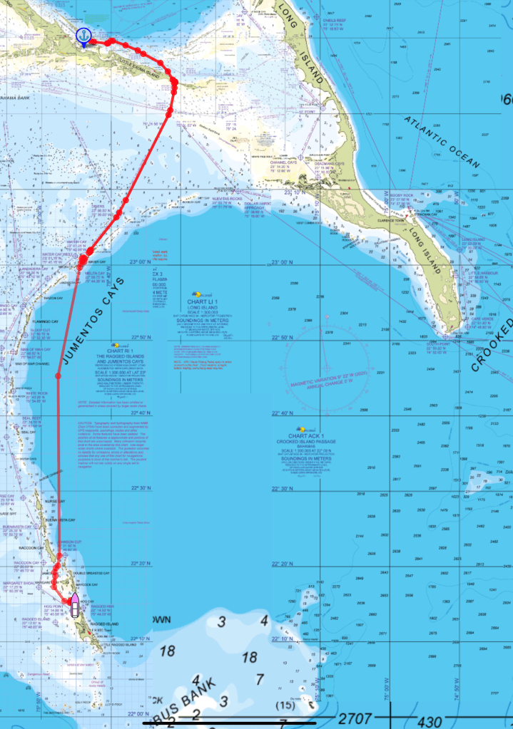
The scale of these charts is getting smaller because the distance is longer. The Jumentos Cays and Ragged Islands are more than 80 miles long. You can see our stop Saturday at the northern-most island of the Jumentos, Water Cay. And then there’s Sunday’s cruise through a chunk of the Atlantic before we tucked back into the protection of the islands way down at the bottom of the Jumentos, just before the Ragged Islands. We’ve gone from a bunch of fairly big islands to the land of little tiny islands. All are uninhabited except, at the bottom of the chain, Ragged Island.
For us, no cruise into the deep waters of the Atlantic is complete without two things. The first is always a welcome surprise and invokes the imagination of all sailors. A pod of dolphins (15+) showed up in a flash, and words really can’t explain how fast they dart when they really desire. We’re only going 7 knots; these guys? 20 plus. The water is beautifully clear, the camera just doesn’t capture it at the angle from above.
This is just 15 seconds of about 5 minutes of entertainment!
They really are “fearless.” This little one squirts from in front of the boat!
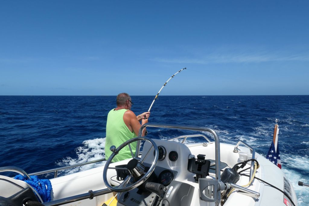
A dolphin visit is always joyous, and then, there’s Todd fishing… Sure enough, about 6 hours into dragging a line, finally, ZING! Yeah a big zing! Look at that rod bend!
As standard “Todd” luck would have it, after about 5 minutes of grueling fight, Ping! Upon reeling in about 300 yards of line, all that was left was the snap ring. The whole rig – teaser, stainless steel leader, 150 pound test leader with pretty bait – gone. Cha Ching! The cost of that first landed, edible fish continues to climb!
We cut back through from the ocean to the Great Bahama Bank side at a broad cut called Nurse Channel, marked by a stone obelisk.
In a world of little flat islands, this one is distinctive.
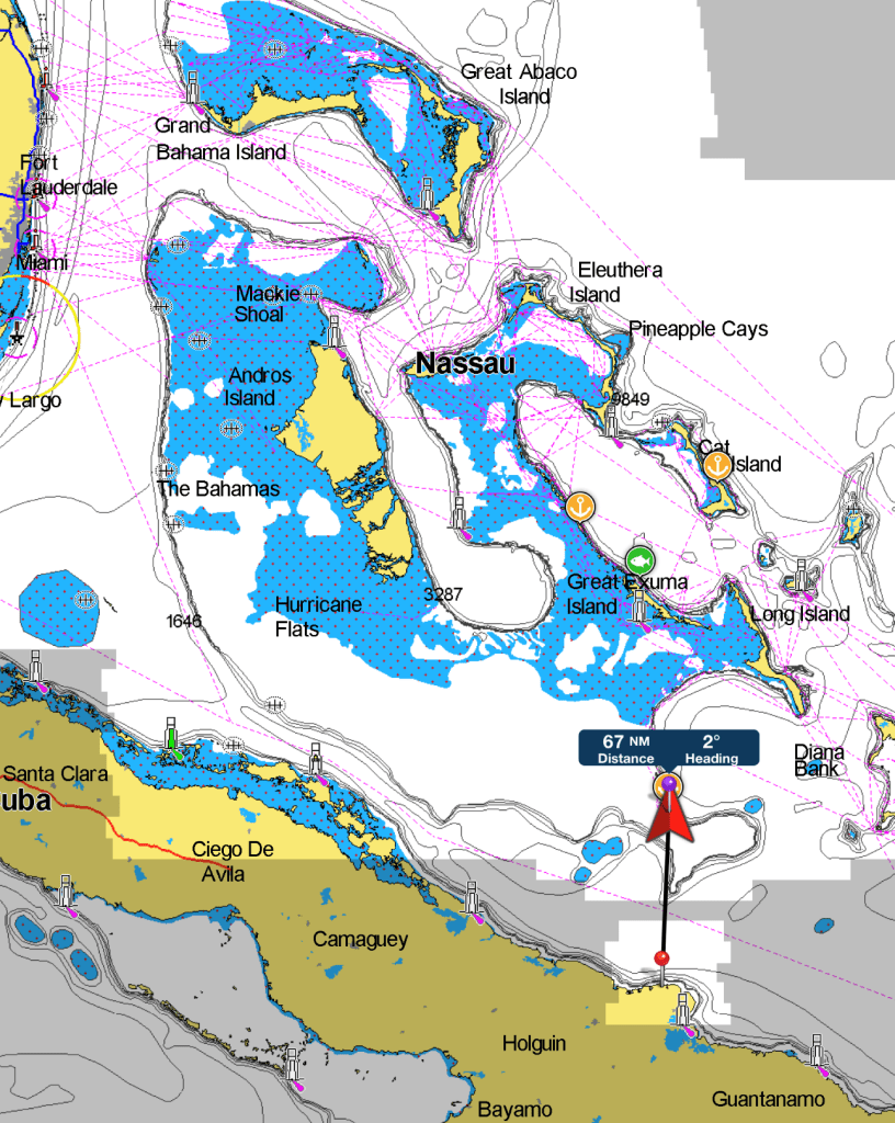
To give broader context as to where we have come, here’s a bigger view. Our destination was Hog Cay, Ragged Islands. Right, another Hog Cay. I think we’ve seen three or four already. Our anchorage is about 67 miles from Cuba. This is as far south as we plan to go.
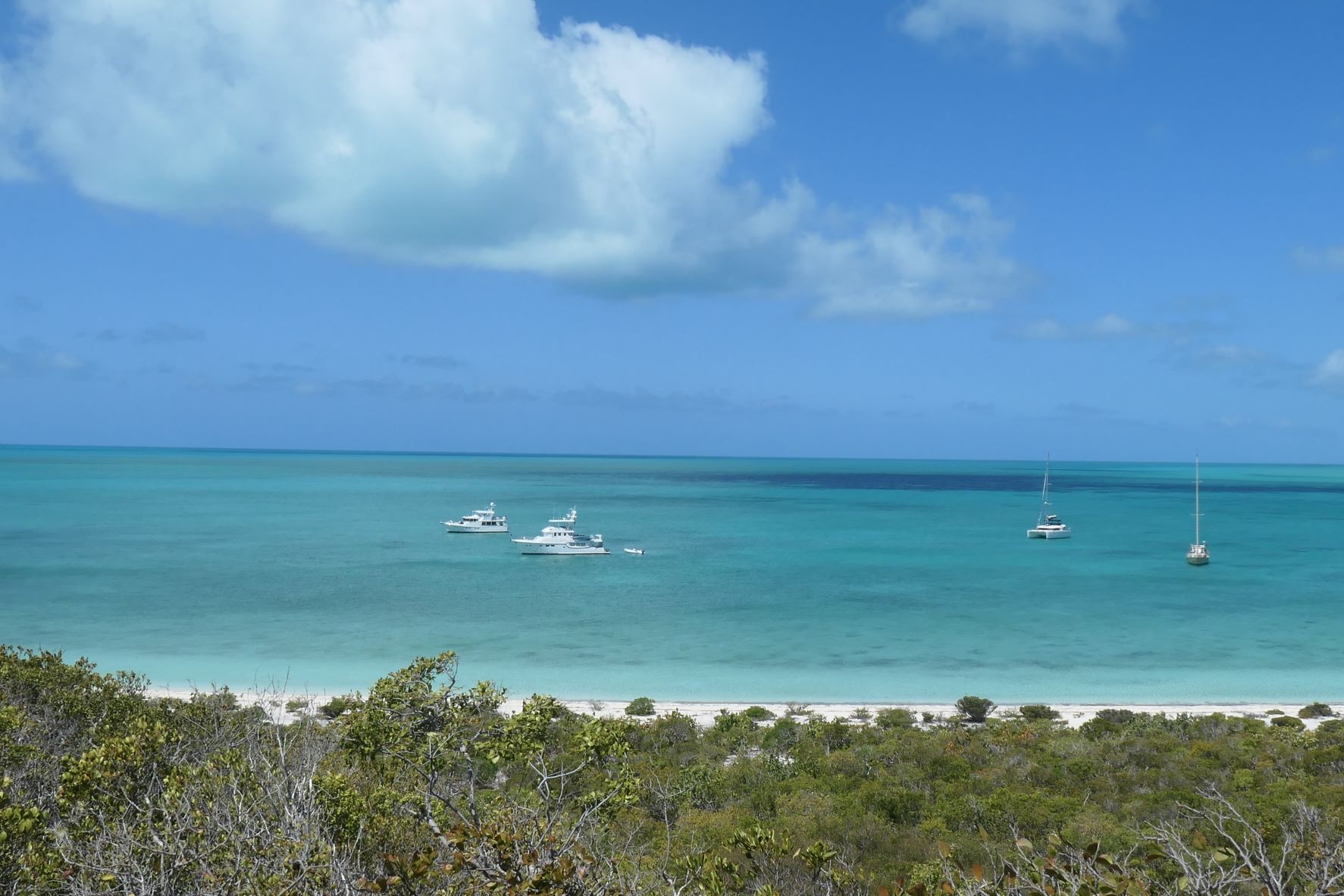
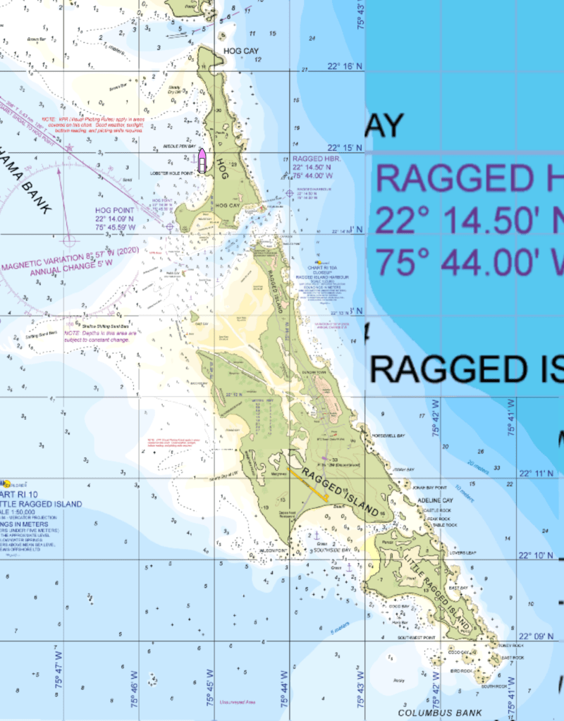
Hog Cay is part of the Ragged Islands. Duncan Town on Ragged Island is the smallest inhabited island in the Bahamas. Population? About sixty. We plan to visit it while we are here. But for now, we are tucked in the anchorage with four other boats. Two sails (a mono hull and a cat), both families with kids, and two large Nordhavns (60 and 63 ft). Sam and Cindy on the 60′ called Booke-End, veterans of Hog Cay, came over to greet us and invite us to the tiki hut on the shore for “sundowers.” We will be joining them in the future.