Governors Harbour, Day 1

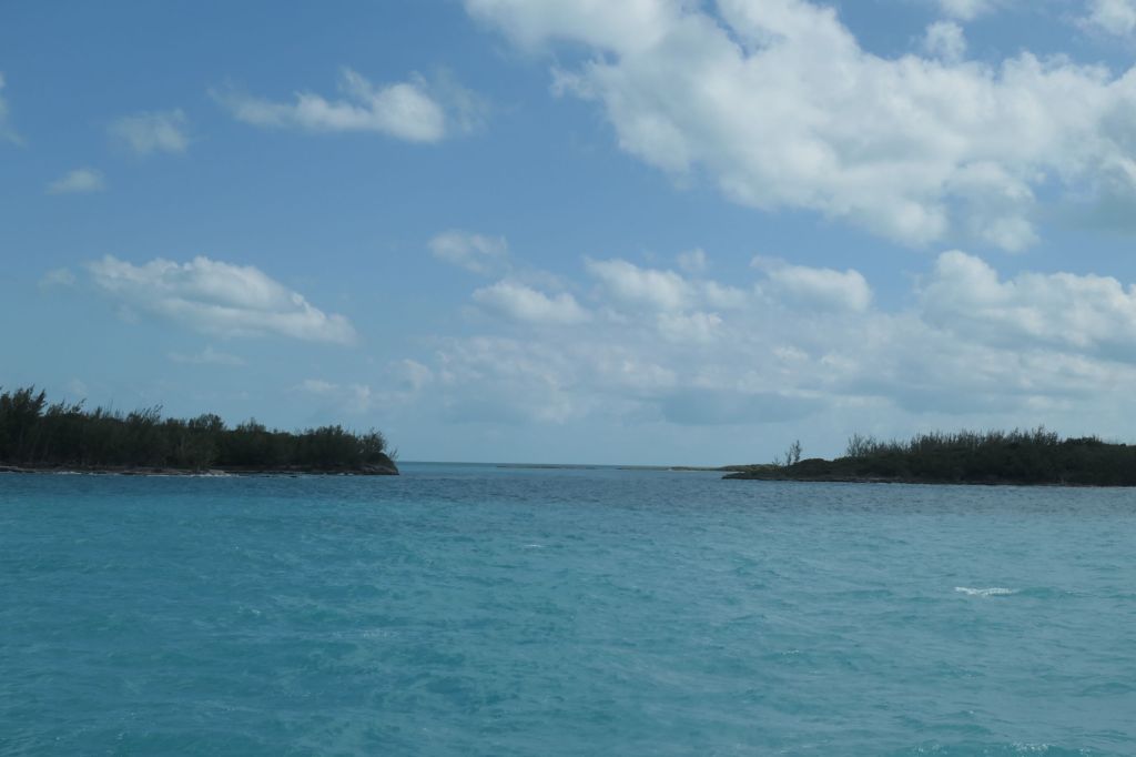
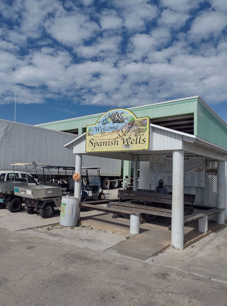
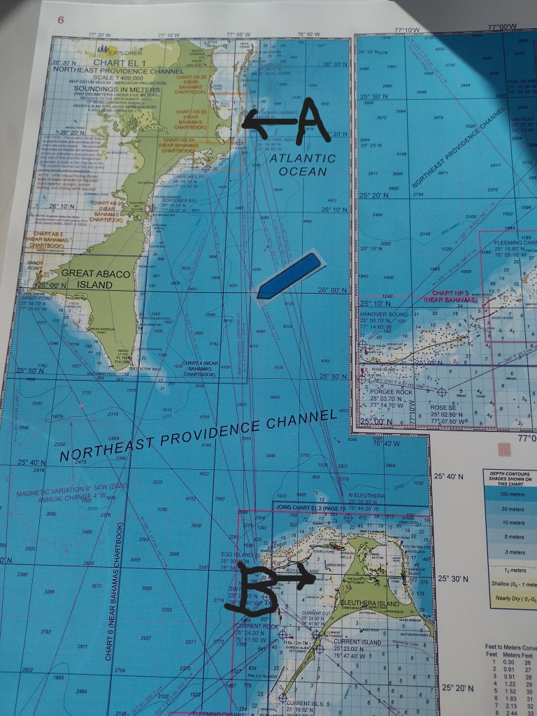
Ah, the stories about the beginnings of the many Bahamian islands. Meet the original Eleutherian Adventurers, religious exiles sailing from Bermuda, these folks actually crashed into the reef outside Spanish Wells in 1648. The natives (Arawaks) were pretty wiped out by the Spanish (slaving and good ol’ disease), so the gang set up shop. Typical of many early English settlements, they had fits and starts, but explored, nevertheless. Seeing a nice harbor about halfway down the island, they named this area “Colebrooke Town.” This township makes a credible claim of being the first permanent European settlement, and more importantly, home of the first Republican form of government in the New World!
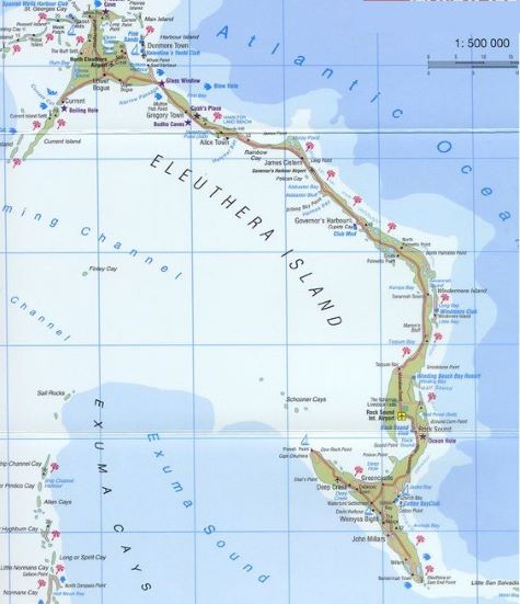
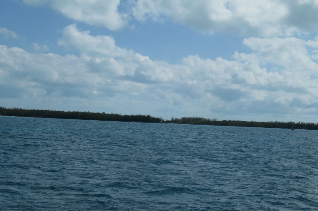
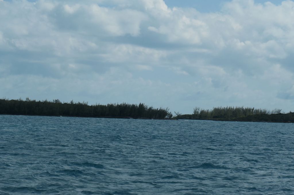
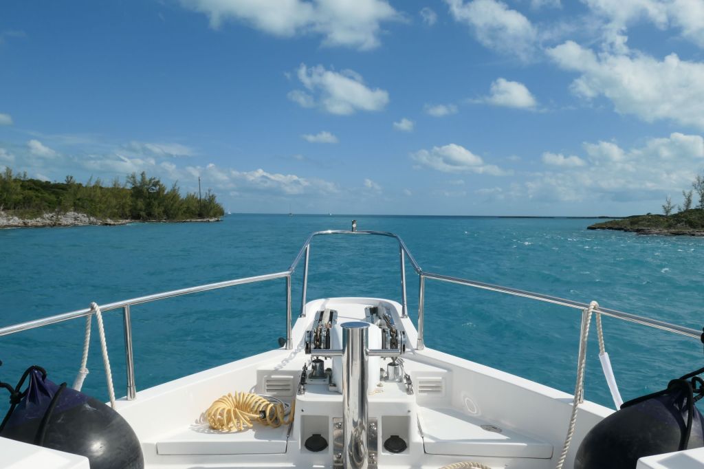
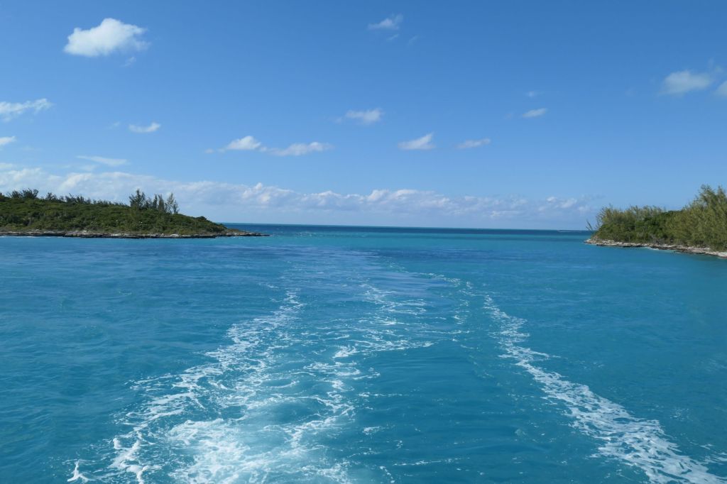
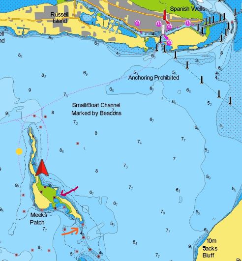
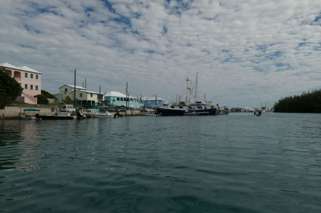
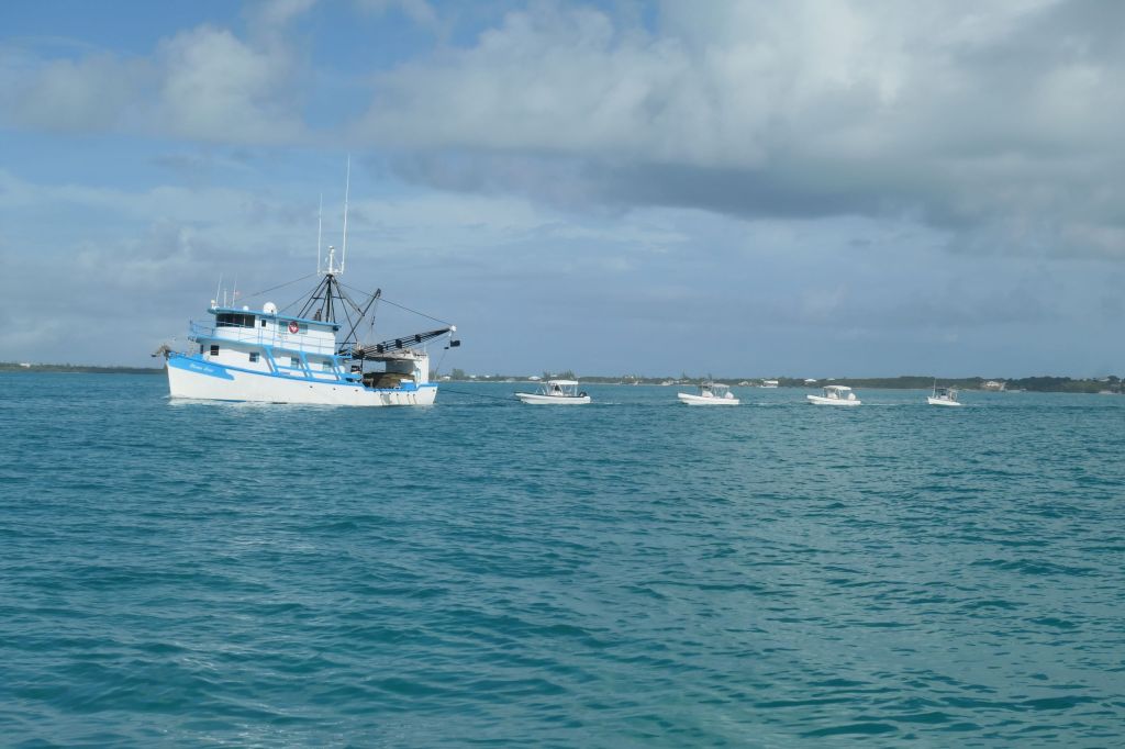
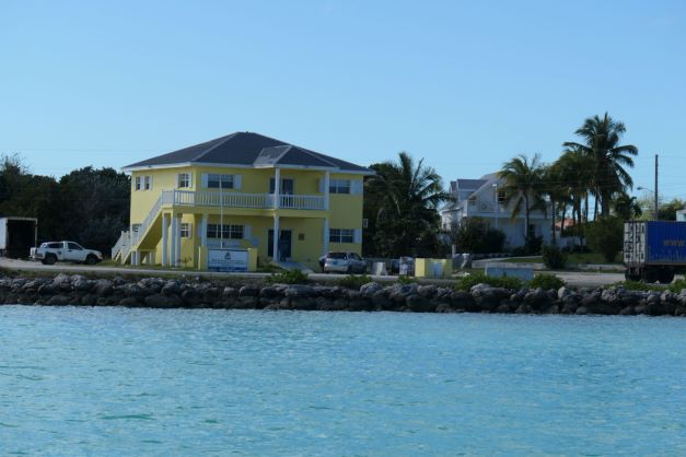
Today, albeit deep, the harbor is a quiet place. Err, sans the near constant rooster crows day and night. We had planned to stay here for a couple of days, so exploring we went. The harbor has houses on the island side and it connects to Cupid Cay, where the yellow government building and big dock are located.

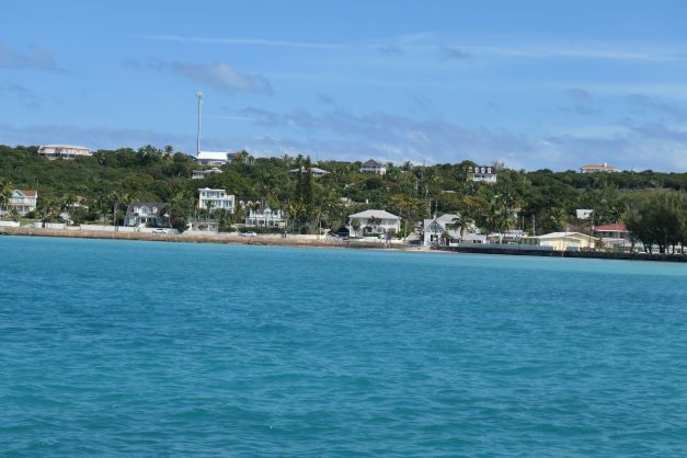
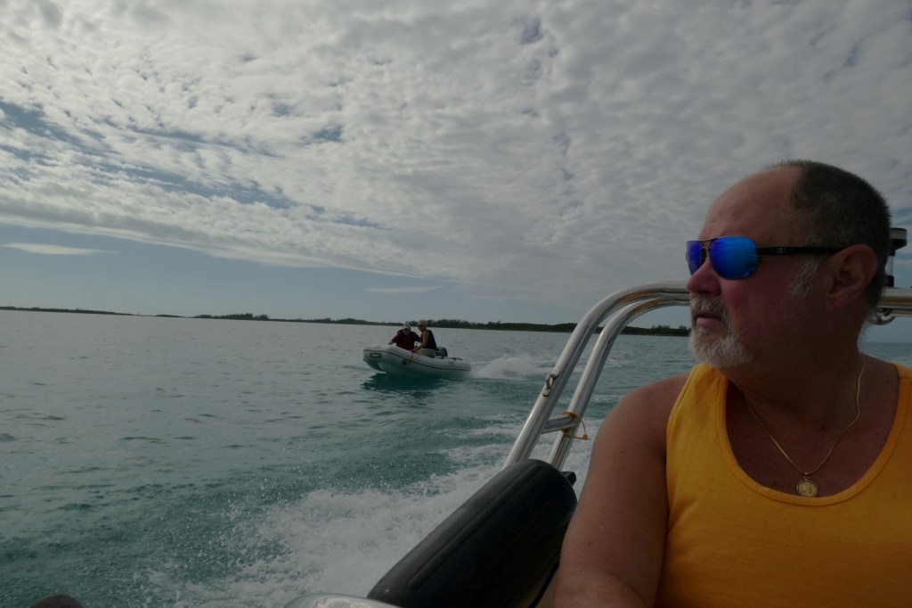
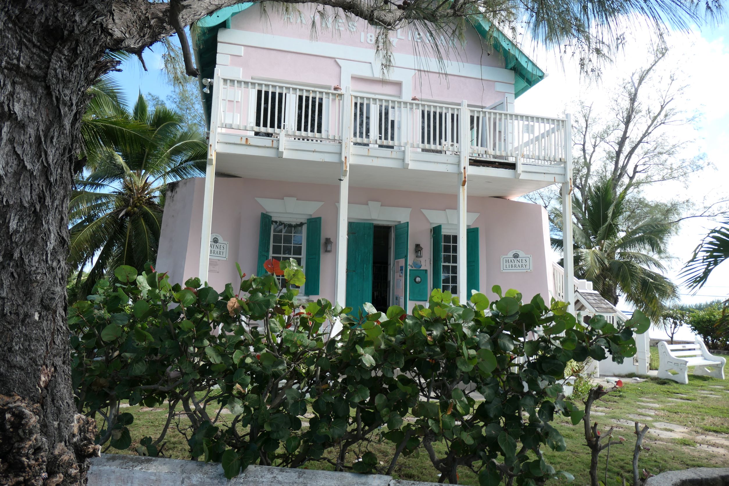
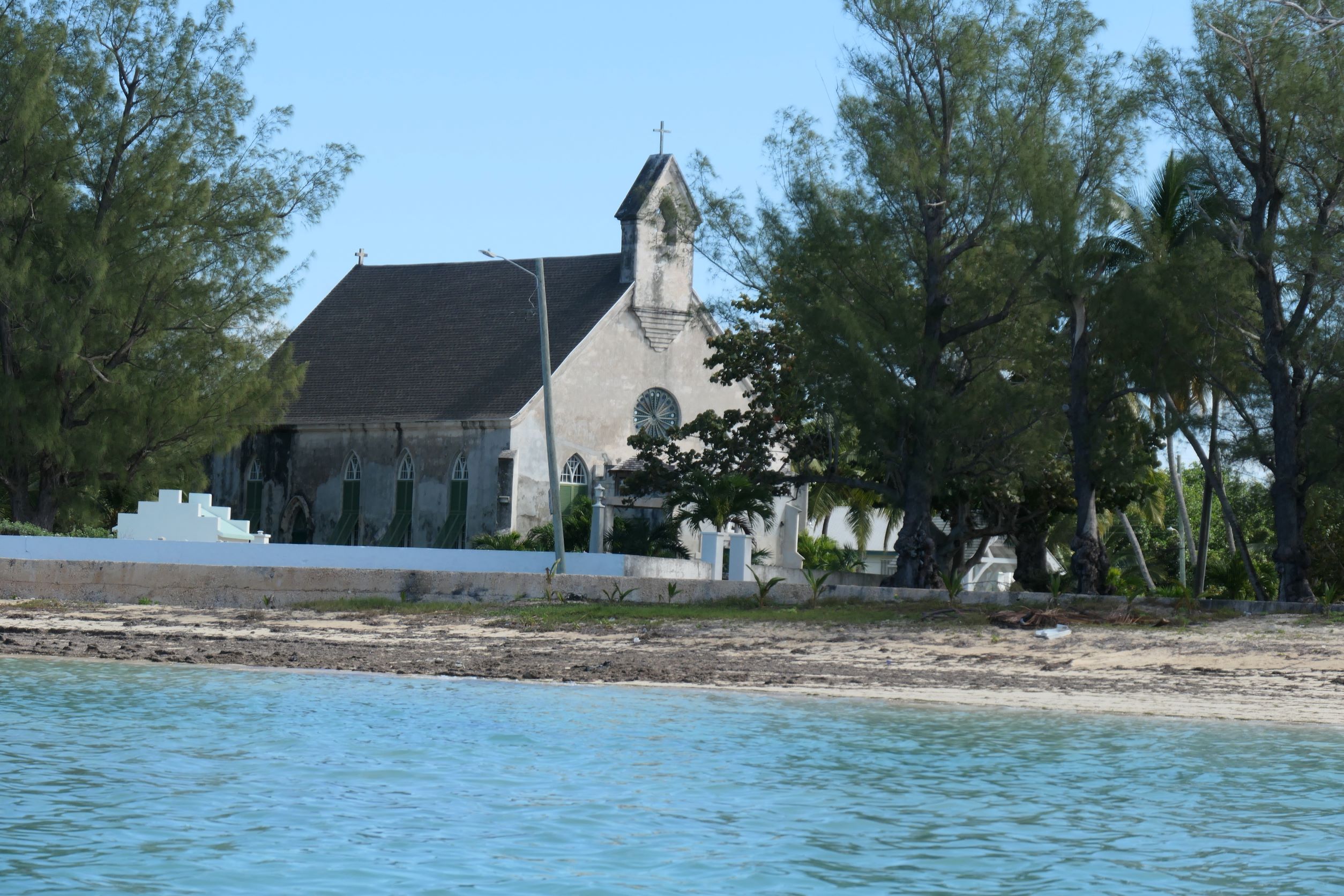
In the middle is the pretty pink library (est. 1897) and the beach in front of the church where we can land the dinghy. With so much in sight we just had to dinghy to the beach to explore the town. Quick explanation for the landlubbers: the dinghy doesn’t come up onto the land. We can “beach” it, but with the engine, it’d be too heavy to drag back to the water, so we anchor in very shallow water (planning ahead for what the tide’s going to do), climb over the side and wade ashore. Makes the clothing and shoe issue kind of tricky.

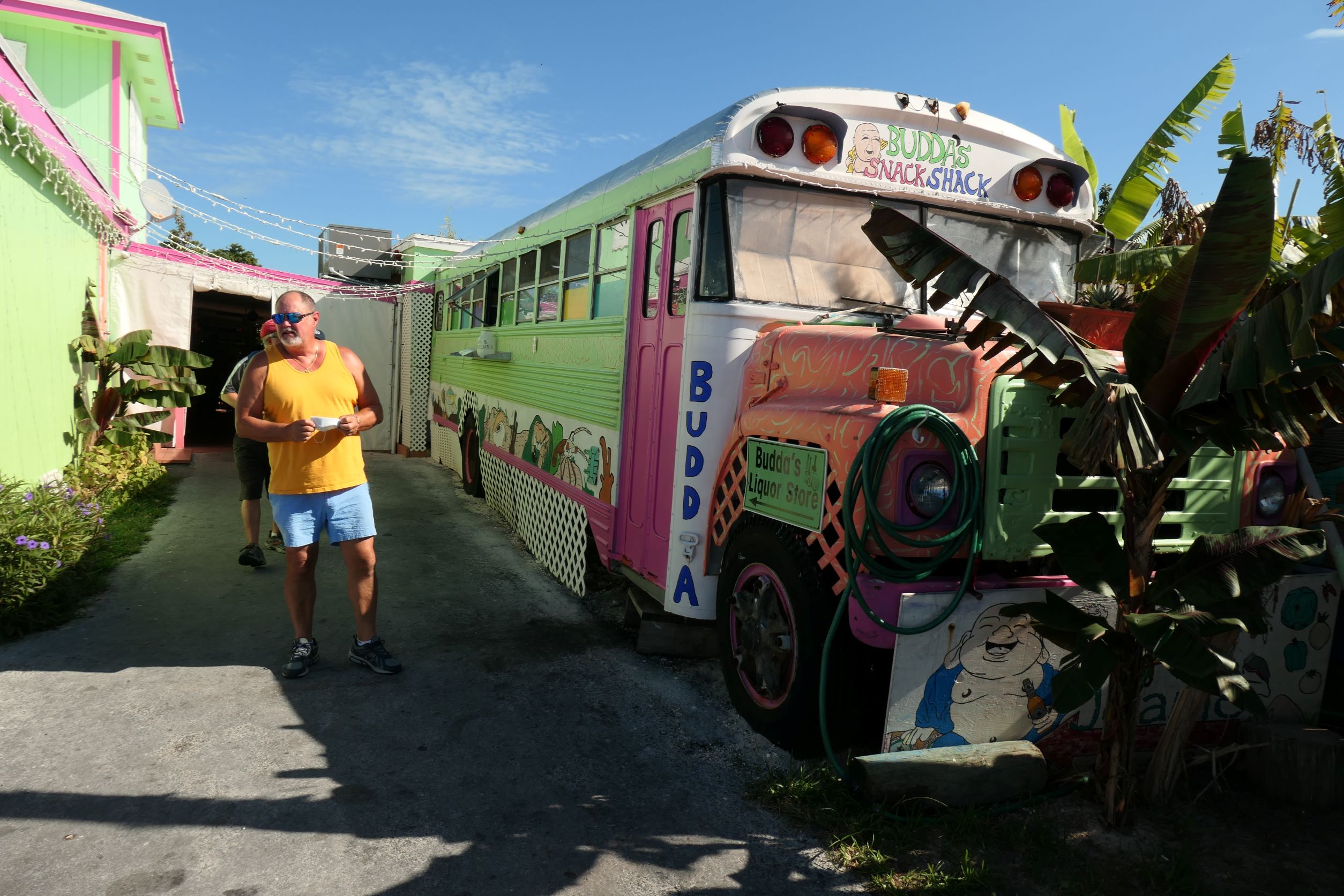
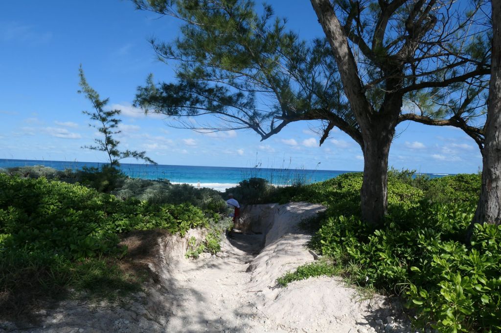
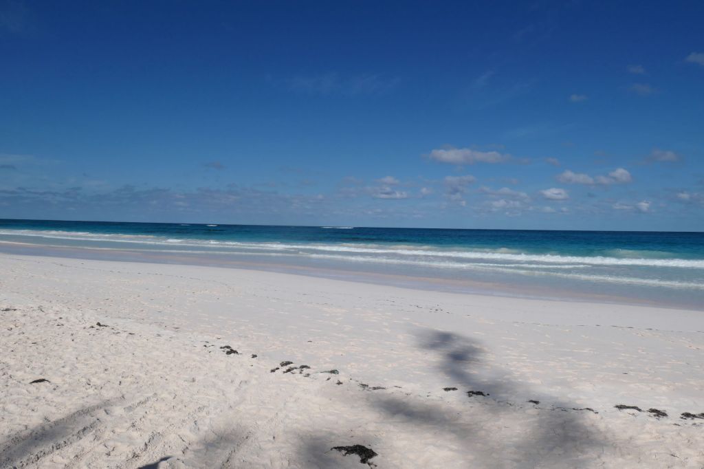
Since we got a “retired cruisers” start, i.e. 11am, we asked a few locals sitting on a bench near where we splashed ashore just where we should go for lunch. Ronnie’s, it is! Ronnie’s little dive bar/ pool hall/ humidor and eatery opened in 1957 and serves simple fare at fair prices. Unfortunately, they were out of conch, grouper (out of season), and salmon (uh?). Not a salad in sight! So, easy choice, a cheeseburger and a Philly, please. During quick chats with the friendly folks in the place, we learned that everyone has a nickname. Quincy (real name) the bartender introduced us to Breez the regular, who gave us great tips about exploring the area and even offered to call his friend Buff, the “local Uber,” to drive us around. We needed to stretch our legs so opted to walk, following Breez’ excellent directions, over to the Atlantic side to hopefully see the pink sand beach.


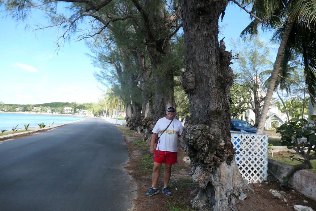
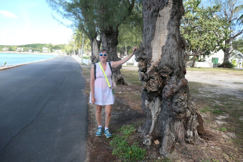
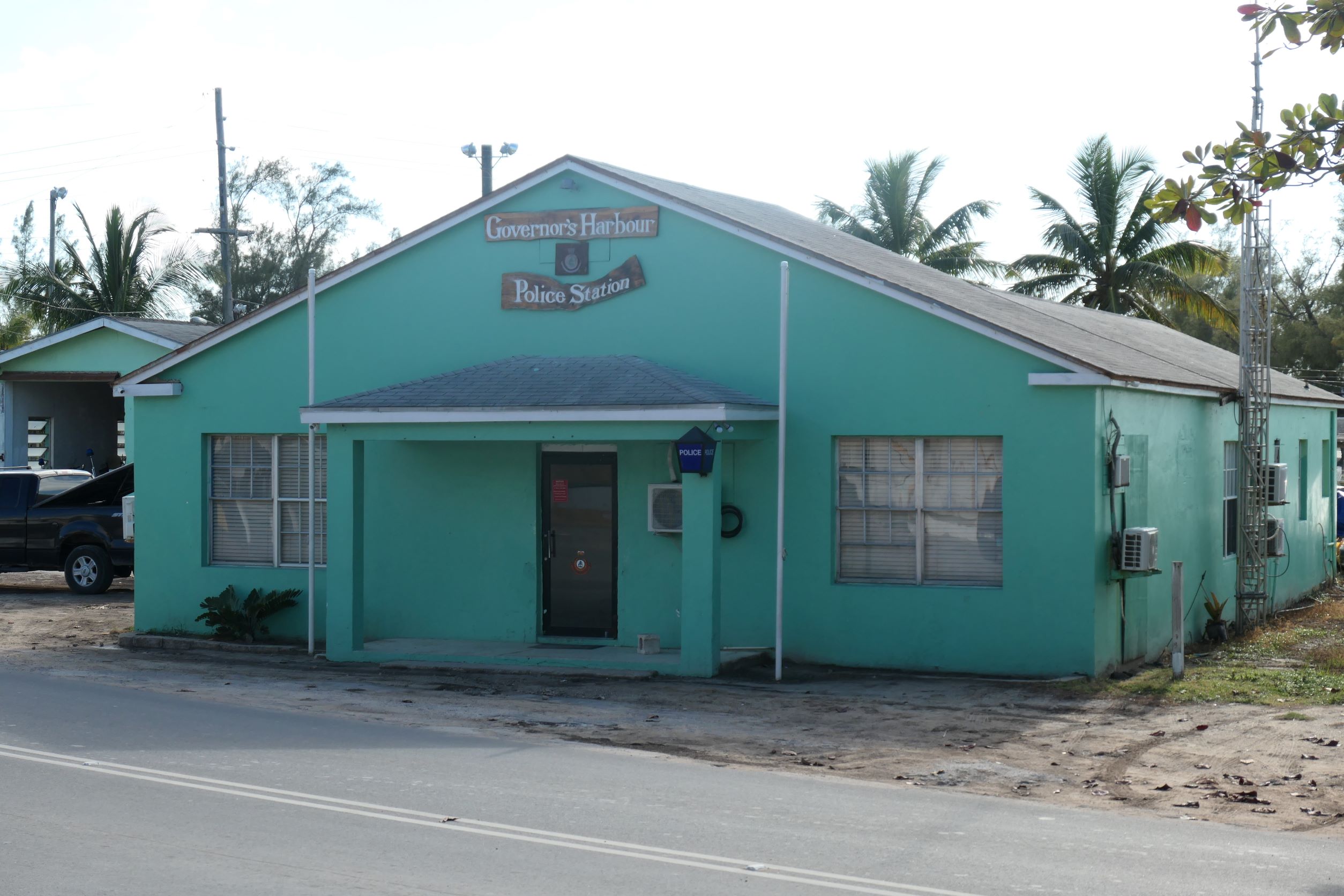
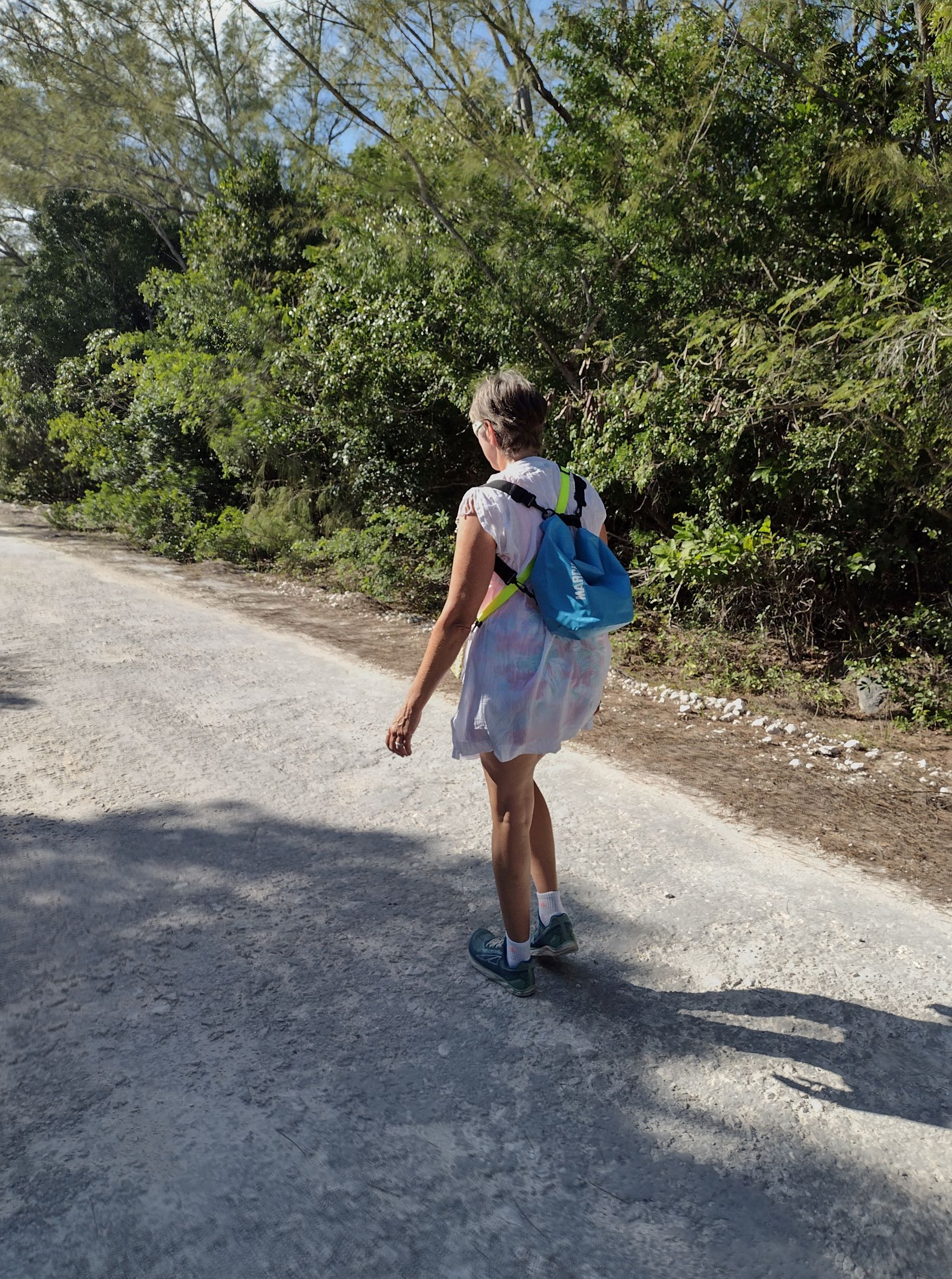
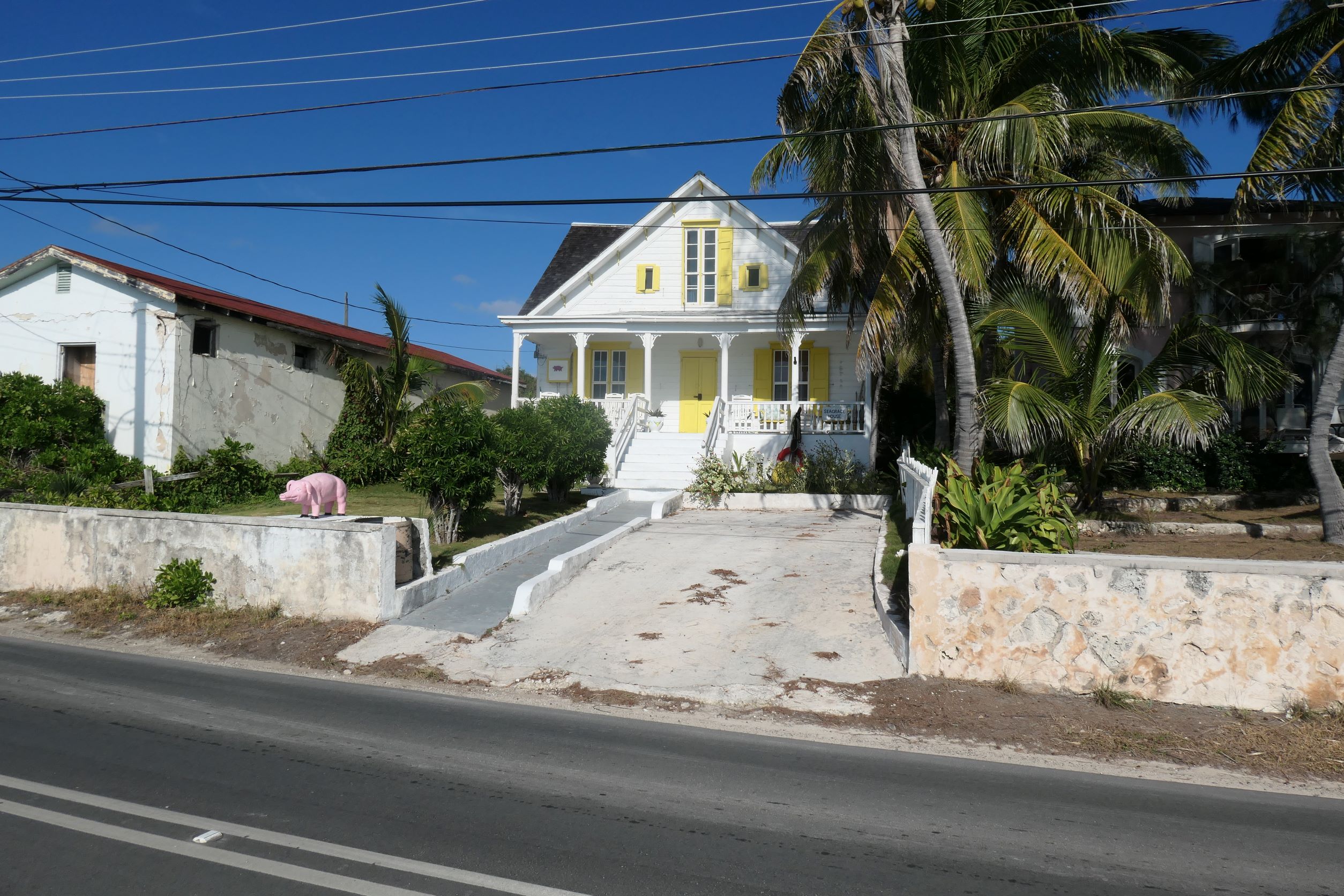
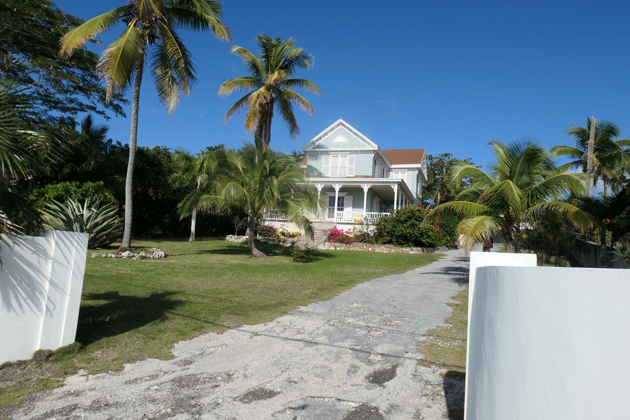
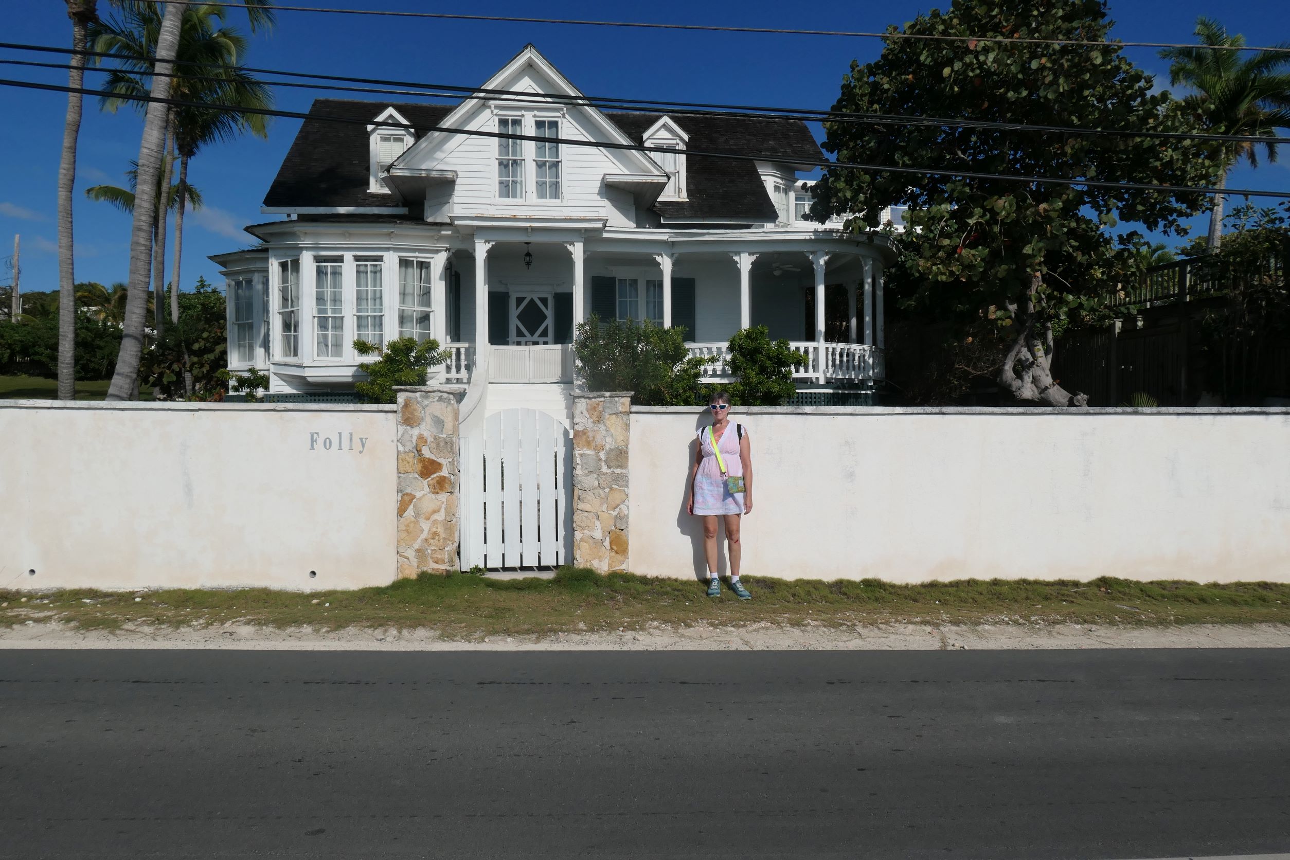
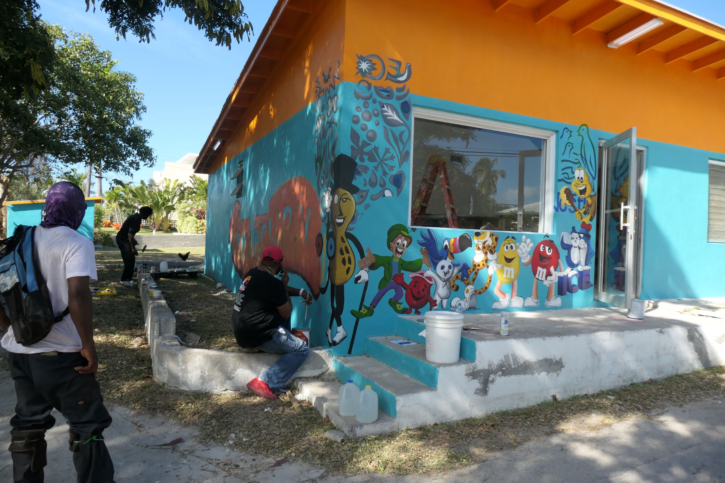
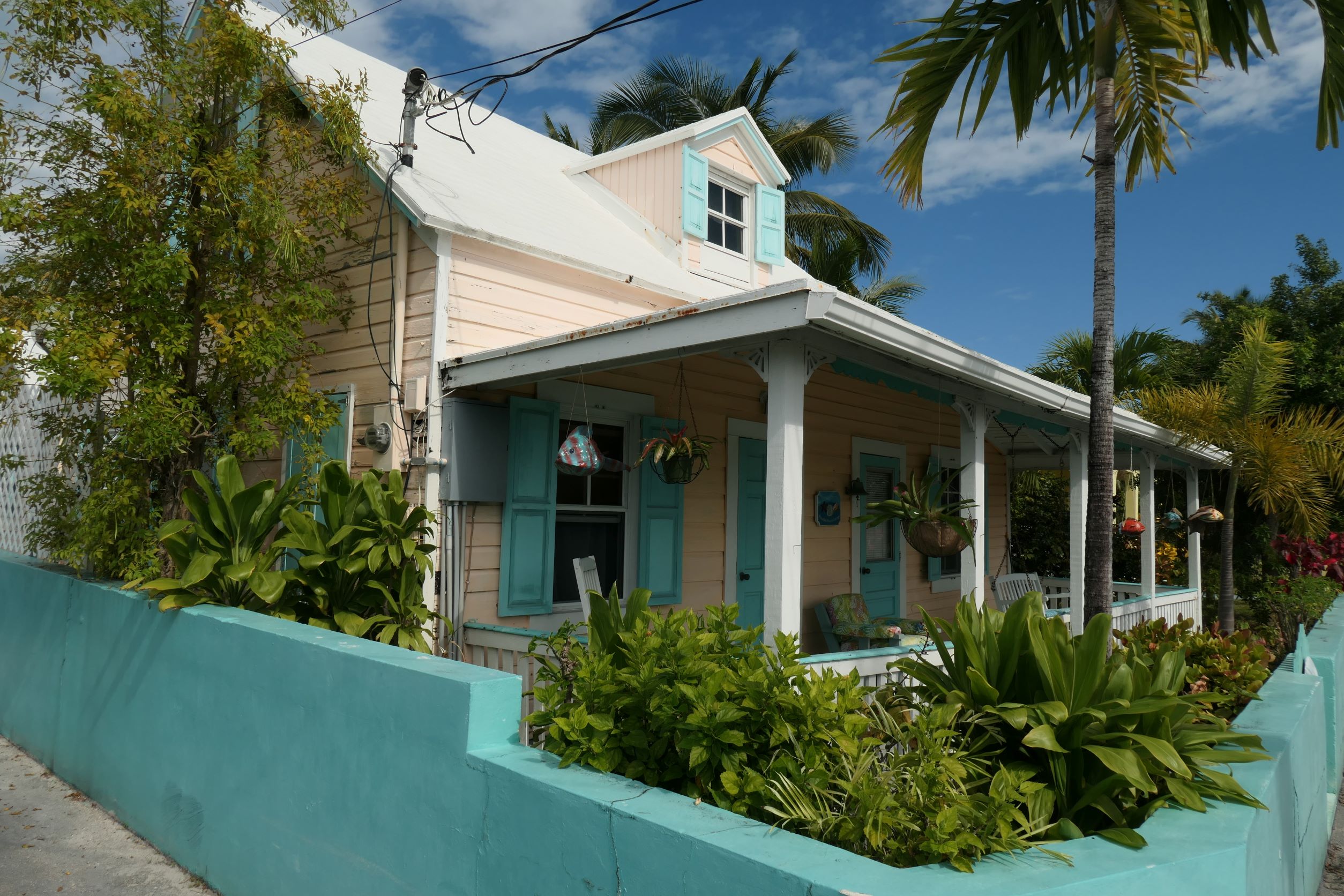
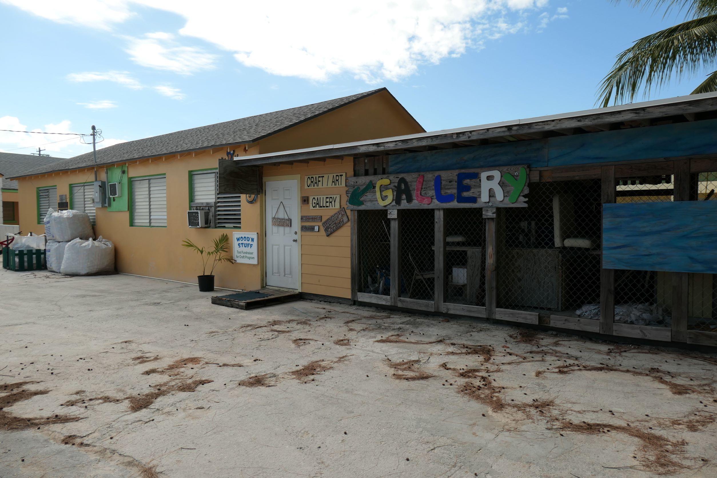
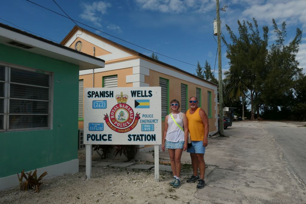
We walked about 2.5 miles round trip. Not a bad walk at all. Up the hill (146 ft climb), past the nice houses, police station (see Daddy, we’re safe!), and an artist decking out a new convenience store.


So, we returned to the boat for showers and early bedtime (are we old or what?) with plans to find the Levy Native Plant Preserve the next day.

Did we mention the roosters? Whew. Those roosters… all blooming day and night! Find the girls willya?

Alabaster Bay

Time to leave Meeks Patch and head further south. If you look at a chart, Eleuthera is a long, skinny kinda reverse “ↄ” shaped island. It’s about 65 miles long, and much of it is less than a mile wide. On one side is the Atlantic Ocean (east), on the other is the Bight of Eleuthera (west).

Most cruisers stay on the west side to use the island as protection from the prevailing easterly winds and waves. To get south, you have to cut through the top of the “ↄ,” and boy what a cut through! Appropriately named Current Cut, it is a sliver that nature somehow made through the island. Known for a ripping current, we timed our passage to go through on a slack rising tide. The narrowness surprised us, as did the rocky shore.

All lined up, and I don’t see our friends Chanceaux on the rocks, so here we go.

And we’re through! Piece of cake. Just a plus one knot push by the current. Well timed, captains. Onward!


About ten miles south is another sliver cut, this one on the side of the “ↄ,” literally a gap between the seas. Called the Glass Window, the manmade bridge replaced the original natural bridge that was destroyed by a hurricane. Then the manmade bridge was shifted by another hurricane and now only allows one lane of traffic. Todays’ winds didn’t cooperate for anchoring nearby, so on this trip all we got was photos from about five miles away. We’ll put it on the list for next week (or next year…)


As we move down that long side of the “ↄ,” there are several harbors that provide safe anchorage. We chose Alabaster Bay. Hey we liked the name, but more importantly it provided protection from the waves that were coming from the northwest. After some poking around for the best wind and wave protection, we settled down for a relaxing night in a lovely spot. Actually we’d like to return to Alabaster Bay for some beach combing, but for now we are scooting down the coast to get to Rock Sound by Thursday so we can tuck in before the weekend’s predicted high winds.

Adventures on Meeks Patch

We’ve talked about Spanish Wells, but we really haven’t talked about the little uninhabited island where we anchored. Humble Meeks Patch and its story that we won’t soon forget.

It really starts with returning to the boat from our first trip into Spanish Wells. We took a swim, during which Todd used his mask, fins and snorkel to check out our surroundings and our anchor (well set, yeah!), after which, he left his mask and snorkel on the swim platform. Remember that… The next day with the wind shifting, we moved from the west side of Meeks Patch to the east side. That sets up the story – now back to Meeks Patch. Advantages on the east side are less wind and the unobscured sunrise!

No people live on Meeks, but there are chickens and supposedly pigs. We heard the roosters all day and night but have not seen the pigs. After the move from one side of the island to the other Friday, our little group (Chanceaux and Karios), looking for something fun to do, decided to snorkel around the area on the southern end (orange arrow on the chart below). In preparation, we had to dig for some equipment for Susie, and here is where the real story begins.

This shows Meeks Patch (lower left) and its relation to Spanish Wells. The big arrowhead represents our boat in its 2nd location.

Make mental note of three spots: the yellow dot, orange arrow, and finally the red arrow.


After finding gear for Susie, we were ready. Wait, where’s Todd’s mask and snorkel?? Criminy! They must have fallen off the boat when we were on the other side! (Someone should put his toys away properly…)

Remember when we said we still use old-school, low-tech methods? Well, yep, Susie logs our Lat and Long at each anchorage (the big yellow dot being the first anchorage). Double yeah! So, let’s hop in the dinghy and go back over to the other side, find the Lat/Long, and Todd can snorkel around with a spare mask to hopefully retrieve his favorite mask from Davy Jones’ locker. Shot in the dark but worth it.

Well, when we were almost at the coordinates, trying to slowly maneuver into the right Lat/Long position where we’d been anchored, the dinghy stalled. She would go into reverse but only stall in forward. Just great. So, we backed (only direction it would go) over to the right spot, and threw the anchor and Todd into the water. Susie tried the VHF and finally email to contact John and Madeline for help. After about 20 minutes of searching and while coming back to the dink as the “rescue party” pulled up, lo and behold, about 30 feet off the back of the dink was the lost mask and snorkel! Yeah! And oh, it was about then that Todd noticed that the painter (the forward line on the dink) had slipped under the boat and wrapped around the prop! No rescue party needed. Geez, should have checked that first. Oh well, martinis later on us! First to the snorkeling!

Now with all the equipment acquired, we went snorkeling and it was fun – no reef but lots to see.

Sea fans and sponges (Susie spotted one with tube worms flowering), lots of live branch coral, a few conch and sea biscuits, a big whelk shell with resident large hermit crab and Lizardfish (inshore variety, we had to look it up), and Todd saw a Filefish just before the end of our swim. They’re odd because they tend to hang vertically down hiding in fans and coral. Next, we went beachcombing on the beach right above the point, and Susie, actually within 10 minutes on the beach, found a sizeable bluey (blue beach glass)! Alas, a closer look determined it needed more “cooking.” A toss sent it back in. We did find a nice sand dollar, our first. Fortunately, it was dead and starting to bleach.

It’s a good 3.75″ across!

Sorry, but the story goes on…

Rather than going back around the bottom of the island, our group decided to cut through (the red arrow on the chart). Well, a technical aside might be in order.

The little numbers all over the chart are depth readings in feet, they represent “mean lower low tide.” As the moon affects the tides on earth, the level of each tide is different. MLLW is the average of the last 19 lowest of low tides. Whew, complicated! The actual depth is almost always greater than what’s on the chart, which is a good thing. We draw 6.5 feet!

You can’t see it in the above chart but the numbers for that little cut between the island are low, so low, they don’t exist. But there is water there, very shallow water. For those older folks that might remember a classic scene from a classic movie, think The African Queen.

Enough said. Per Humphrey, I mean Todd, the grass was a bit gooey, but the water was about 77 degrees, definitely refreshing but not cold. And no leeches.


We will always remember our first stay at Meeks Patch!

Spanish Wells

Sunrise coffee time on the bow, then a short dinghy ride over to explore Spanish Wells.

Captain Todd with John and Madeleine from Chanceaux over his shoulder.

After Columbus “found” the New World by landing in the Bahamas, they needed a stepping off spot when headed back to Spain. They dug several freshwater wells on an island, and bing! Spanish Wells was born. One of several islands that make up Eleuthera, Spanish Wells is home to a very successful lobster (it’s called crawfish around here) fishing fleet. A large fleet crewed by locals equates to Spanish Wells being quite prosperous compared to many of the islands. Reflected pride shows in how they maintain their boats, houses, and community.


Time for some “Shoe leather express.” The town was neat and clean, and our few pictures don’t really do it justice. Houses and yards are almost all well-kept. Bubba’s an icon, as it started as a liquor store in a colorful bus (classic Caribbean) and has expanded. The wood gallery is an adjunct to the All-Grades school, run by a young Irish expat who teaches the kids “shop.” Wood crafts and a bit of metal work, the efforts are signed by the kids and offered for sale at the gallery. Colorful plants and maintenance-free yards abound!


Wandered way over to the east side of the island for lunch on the waterfront.

With John & Madeleine from Chanceaux and Jennifer & Eddie from Karios

Crossing to Eleuthera

Crossing from Lynyrd Cay in the Abacos (A) to Meeks Patch, off Eleuthera (B) involves an ocean passage and about 60 nautical miles that took us almost eight hours. (The “sticky flag boat” in the middle shows our low tech backup way of tracking ourselves. Yep, we keep tabs on the old-school charts using Lat and Long even though we have multiple electronic tools running. It’s like using a map on a road trip.) For those following along via the Locate Us link, it looks like we made an “as the crow flies” straight-line run across, because we, unfortunately, neglected to turn on the Iridium Go widget before we left.


There was a brief weather window for the crossing, so several boats left at first light. Traveling with buddy boat, Chanceaux, allowed for sharing underway photos. Thanks, Madeleine!


The striking color of the deep blue sea was again amazingly beautiful, and most of the trip was the predicted 2-3′ waves. There was a patch in the middle where the winds changed and the seas got more aggressive in banging against the port side, which led Susie to some “chair time” where she parks it in a seat on the flybridge for awhile and quits trying to move around, but nothing too extreme and nothing we couldn’t handle.


We certainly weren’t alone out there. In addition to the several other boats that headed out at daybreak, we crossed paths with a few tankers.

And there was this “little” girl: the 118-meter expedition yacht, Ulysses, station-keeping near the entrance to the Eleuthera bank. Yes, that’s a water slide and a helicopter.


And then we were back in the turquoise water, anchored off Meeks Patch, Eleuthera. Successful run! Time to rinse the salt off the boat and have a cocktail as the sun sets.