One Mississippi. Two Mississippi.

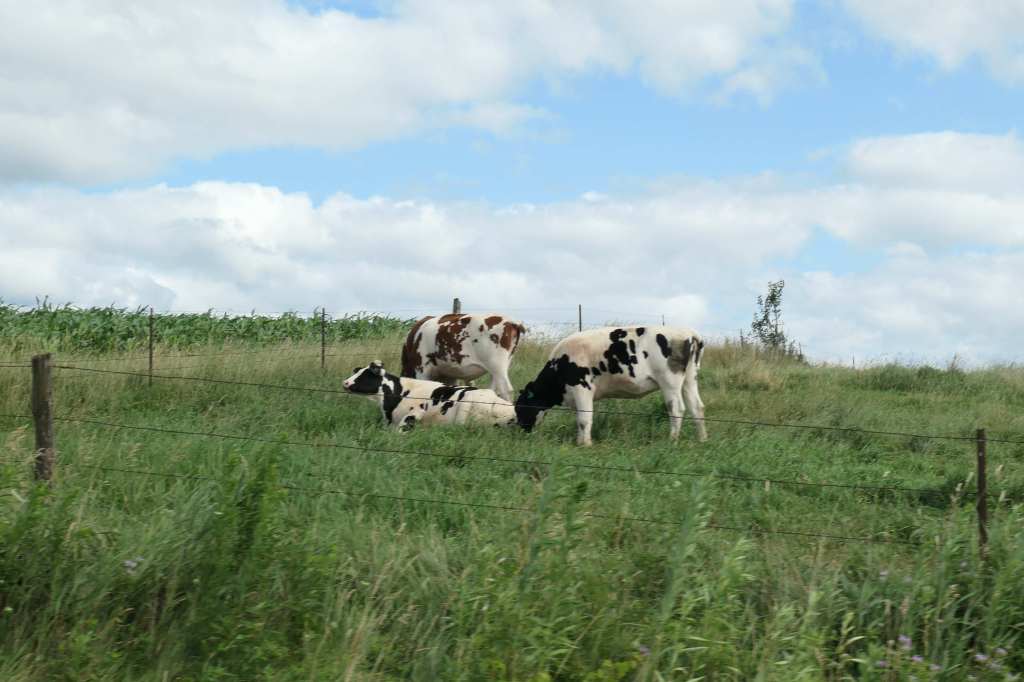
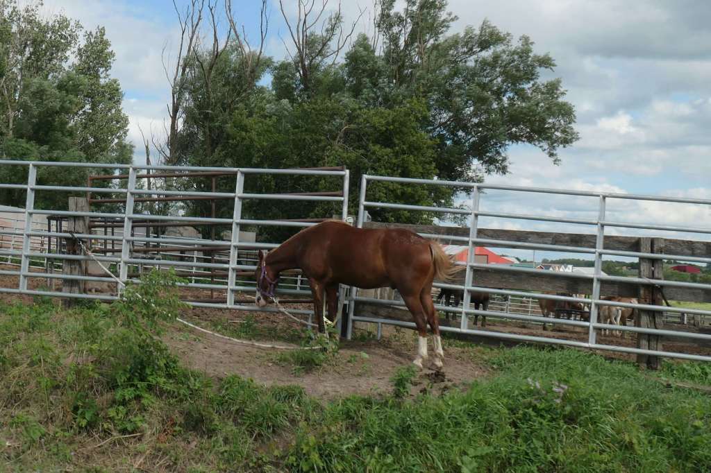
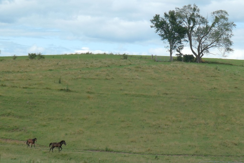
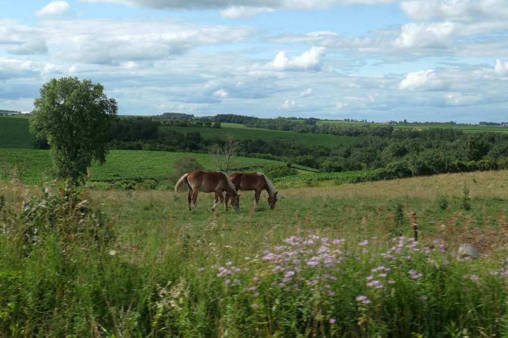
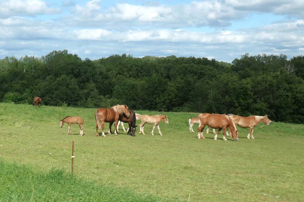
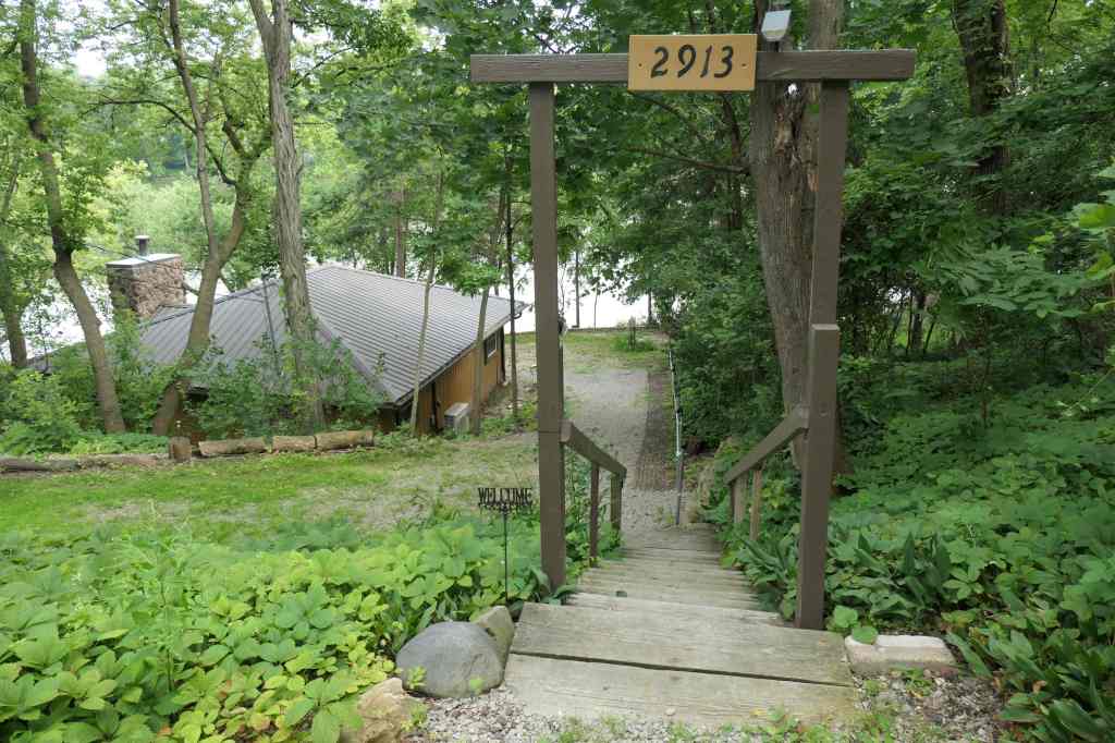
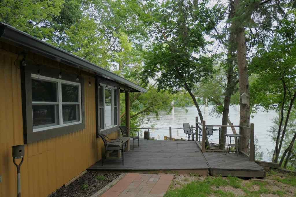
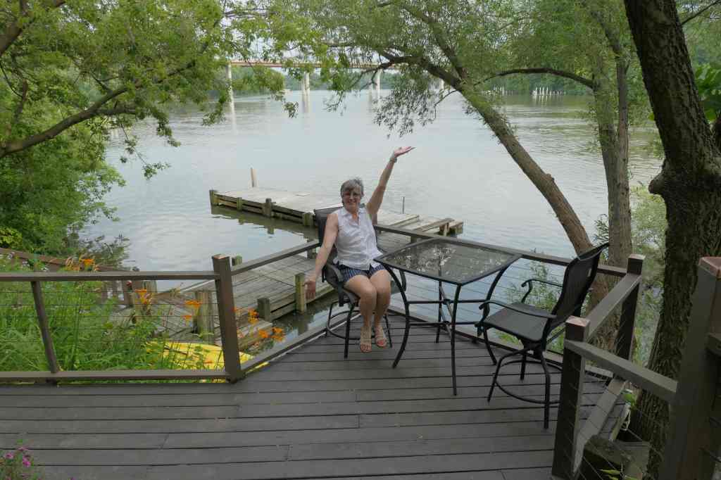
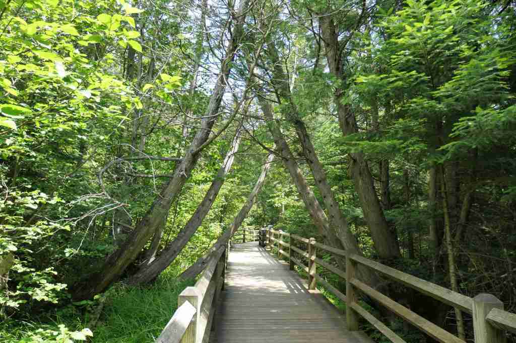
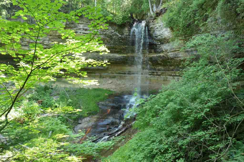
Two weeks ago, when we met folks around here, everybody asked, “why Cashton?” We laughed and replied, “to relax.” They laughed even harder and said, “perfect, there isn’t much else around here.” The area has one thing, beauty. (And horses, adds one of us.)

True to form, however, our planner wasn’t just relaxing but was also “planning” on the side. Hence, here we go!

From our Reader’s Digest reference book, The Most Scenic Drives in America (Thank you, Mike & Jackie!), she read:

“Like Tom Sawyer and Huck Finn, the Mississippi and the Great River Road are bosom buddies, ever inseparable as they wander about in Wisconsin, Minnesota, and Iowa… one perspective on the river… which wanders up one side and down the other. Length: About 470 miles.”

The Mighty Mississippi River? A scenic drive that includes boats? We’re in!

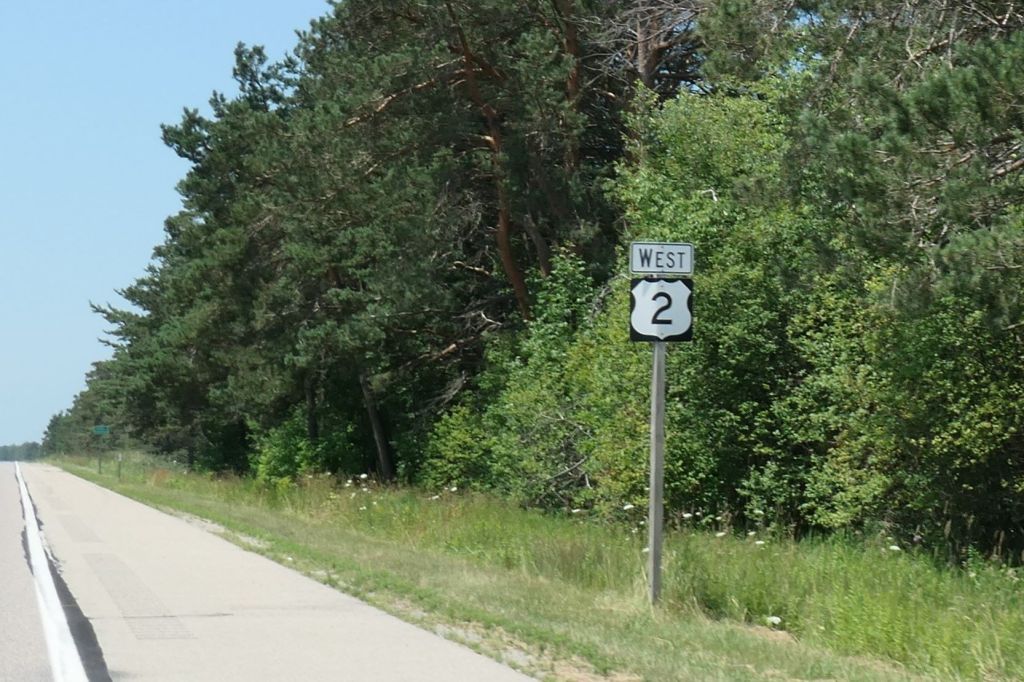
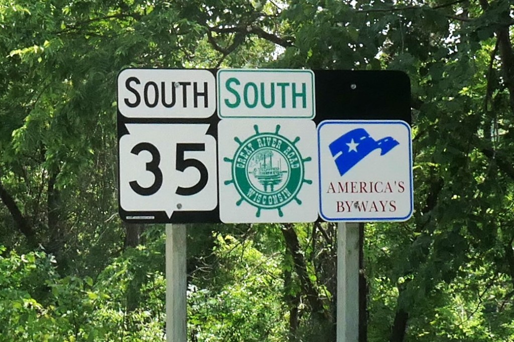
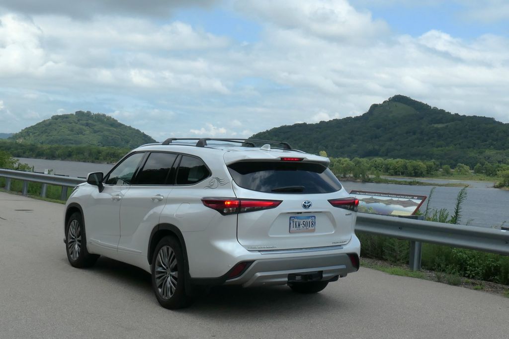
A wiggling 40-minute ride to the west and we picked up the Great River Road to begin our journey-within-a-journey at the Old Settlers Overlook near Stoddard, Wisconsin.


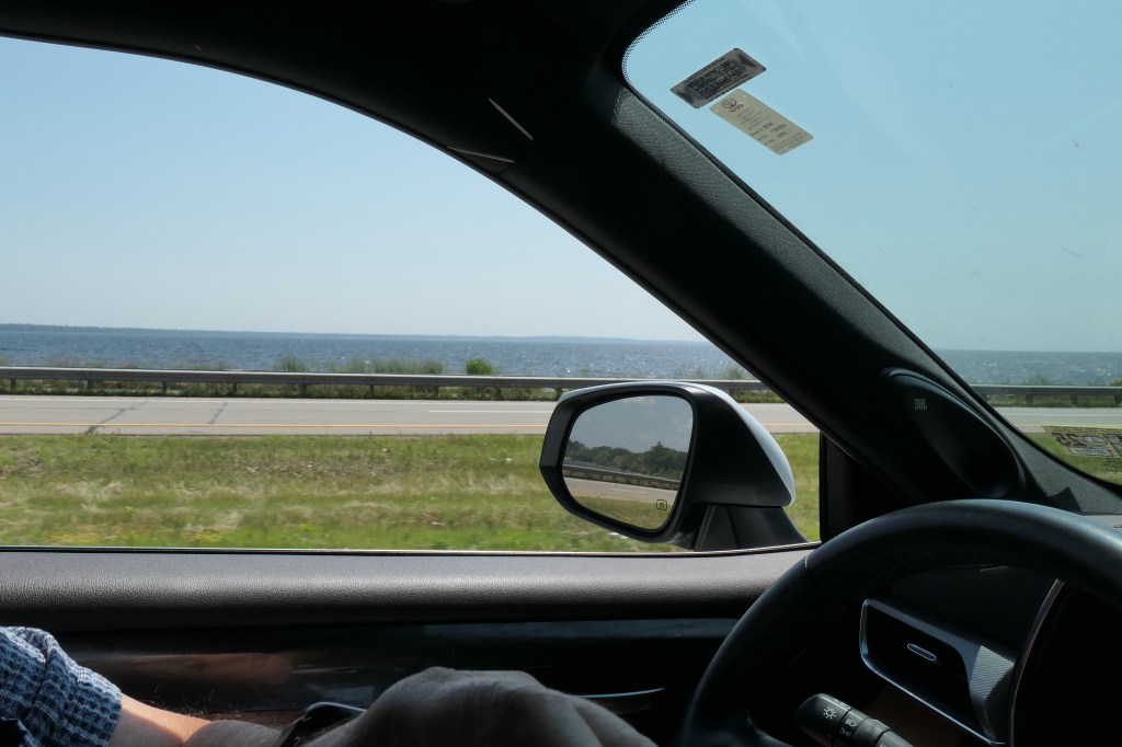
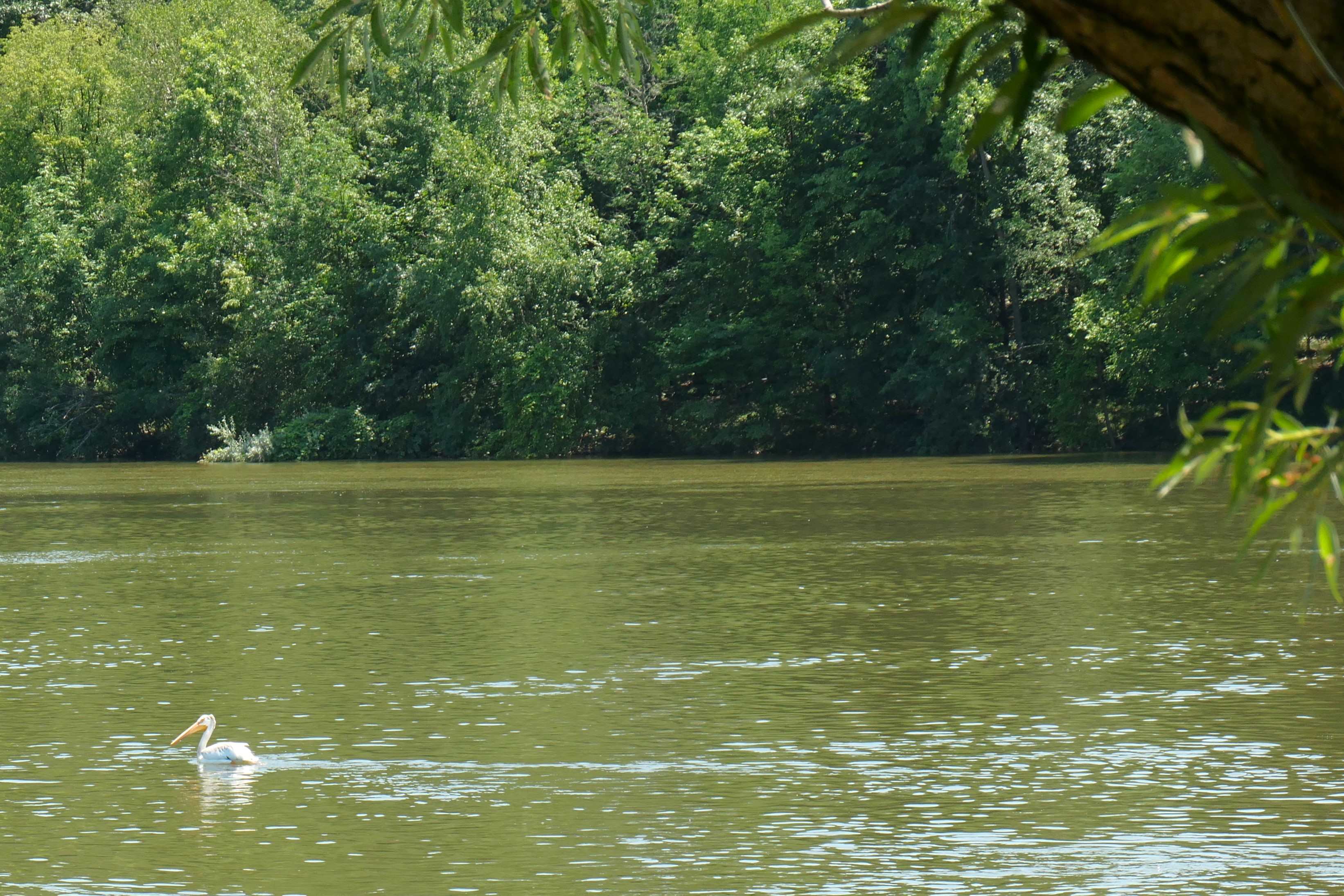
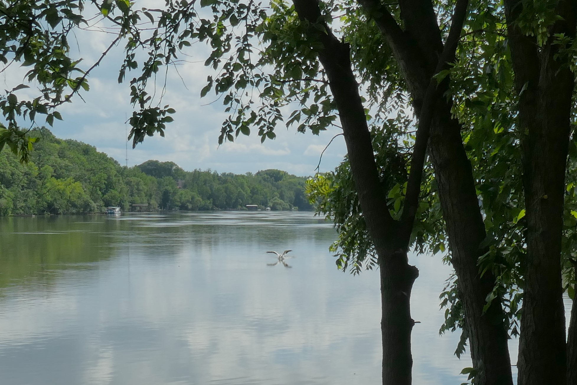
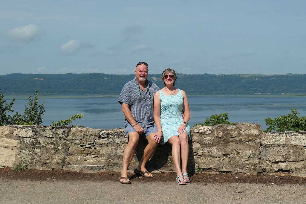
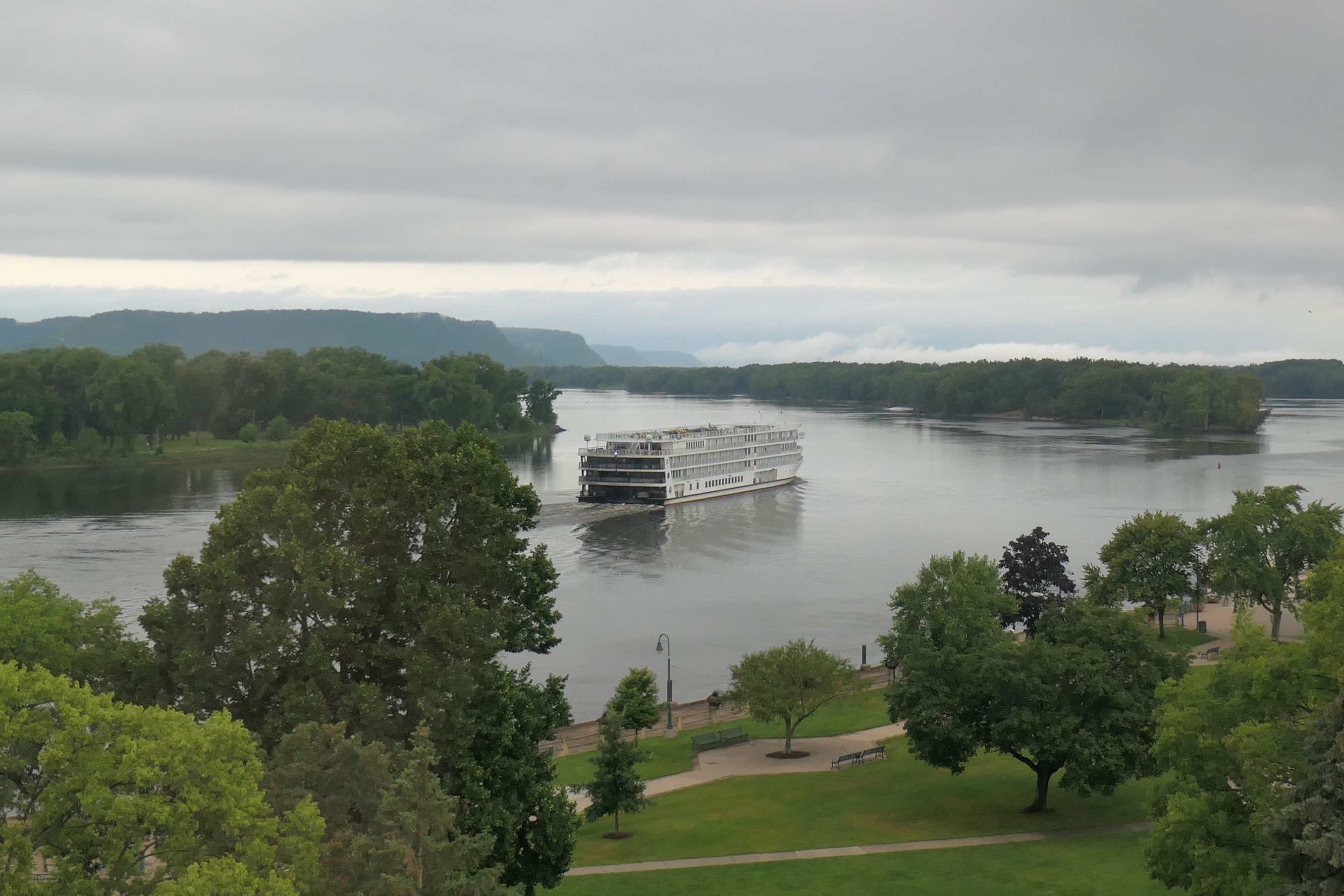
Todd has seen the Mississippi River but much further south, where it is indeed a LARGE river. Susie, having never seen it, had great expectations for her first peek at the Mighty Mississippi.

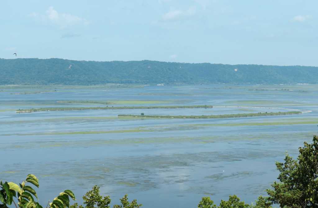
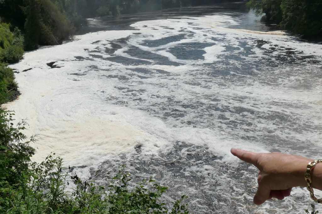
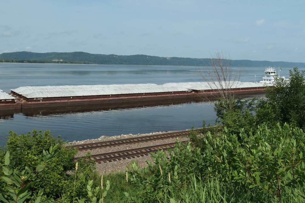
Standing stunned atop the hill, we heard a train on the track below. Quick! Let’s get a closer look and pic of that! So, we got back on the road, eyes still on the river and tracks, looking for another “scenic overkill” from which to actually see the train. Too late; missed it. – Geez they move fast! – But, lo and behold there’s a very large barge tow. Yeah! A boat! Really big setup – too big for the camera to get it all. The 350-yard channel is right near shore, and all that other river is shallow!


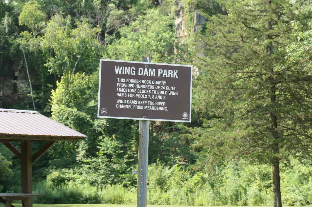
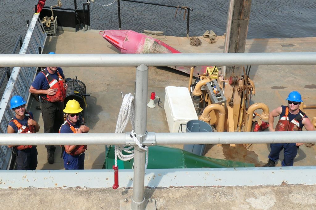
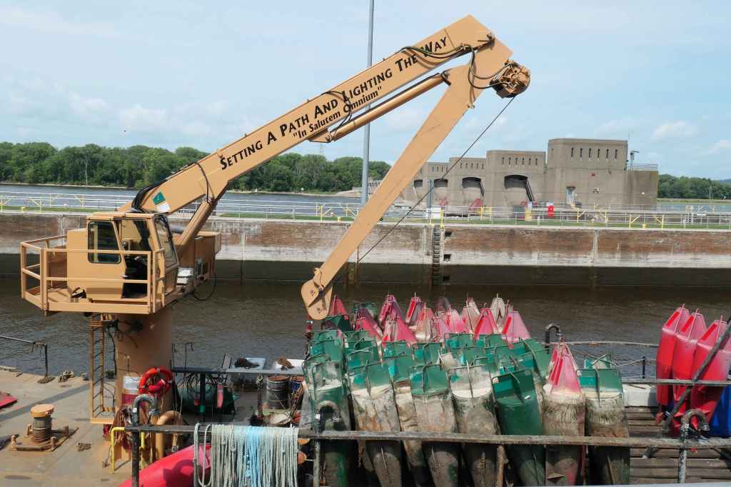
As we continued the journey, we were surprised by a sign for “Lock and Dam #8.” Huh? Locks and a dam on the “Ol Man River?”

Confusion reigns!

Safe to say, on this stop, we learned a whole boat full. 🙂 Long story short, the US Army Corp of Engineers saved the day. Starting in the 1920s up in Minneapolis and into the mid-30s, they built a series of locks and dams all the way down to St Louis, MO. All built to raise and hold back the water, channel it, dig it deeper, and then control it so we could move lots of stuff from northern Minnesota all the way down the river! Wow, who knew!


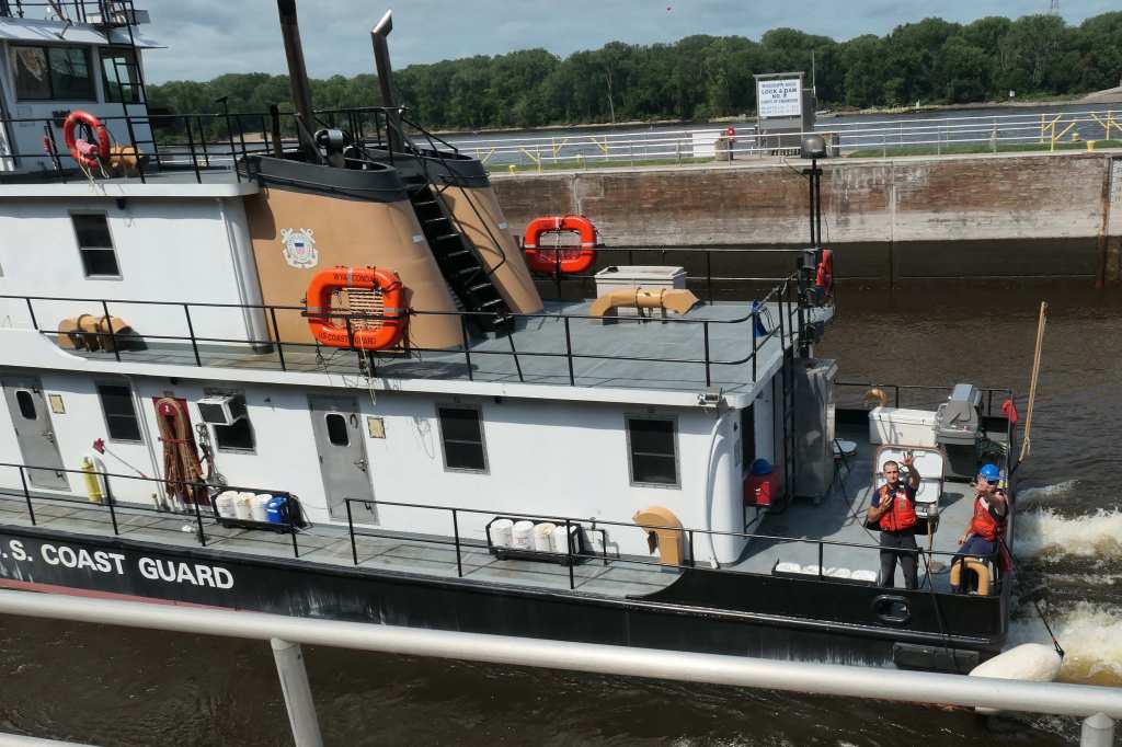
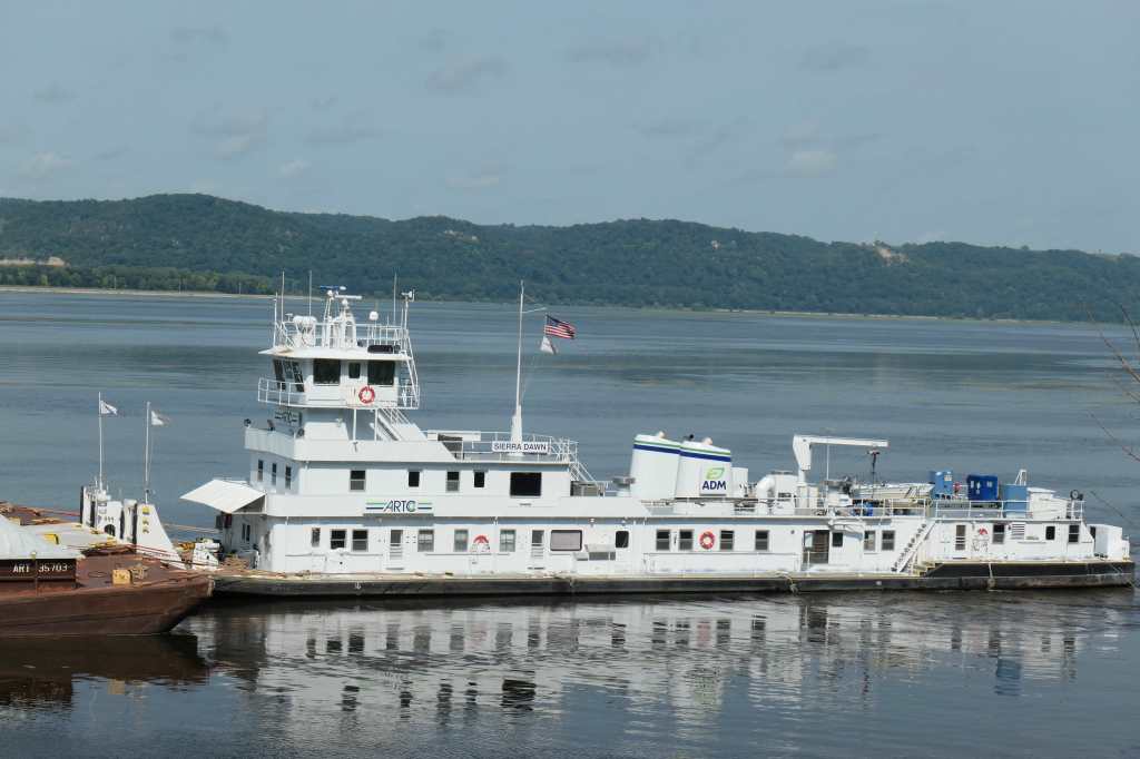
Needless to say, Todd wanted to stop to see every boat! So, here’s just a few more boat shots because, well, you know. It became weird to think of all these shots of the river, there is only a narrow channel through which the boats navigate.

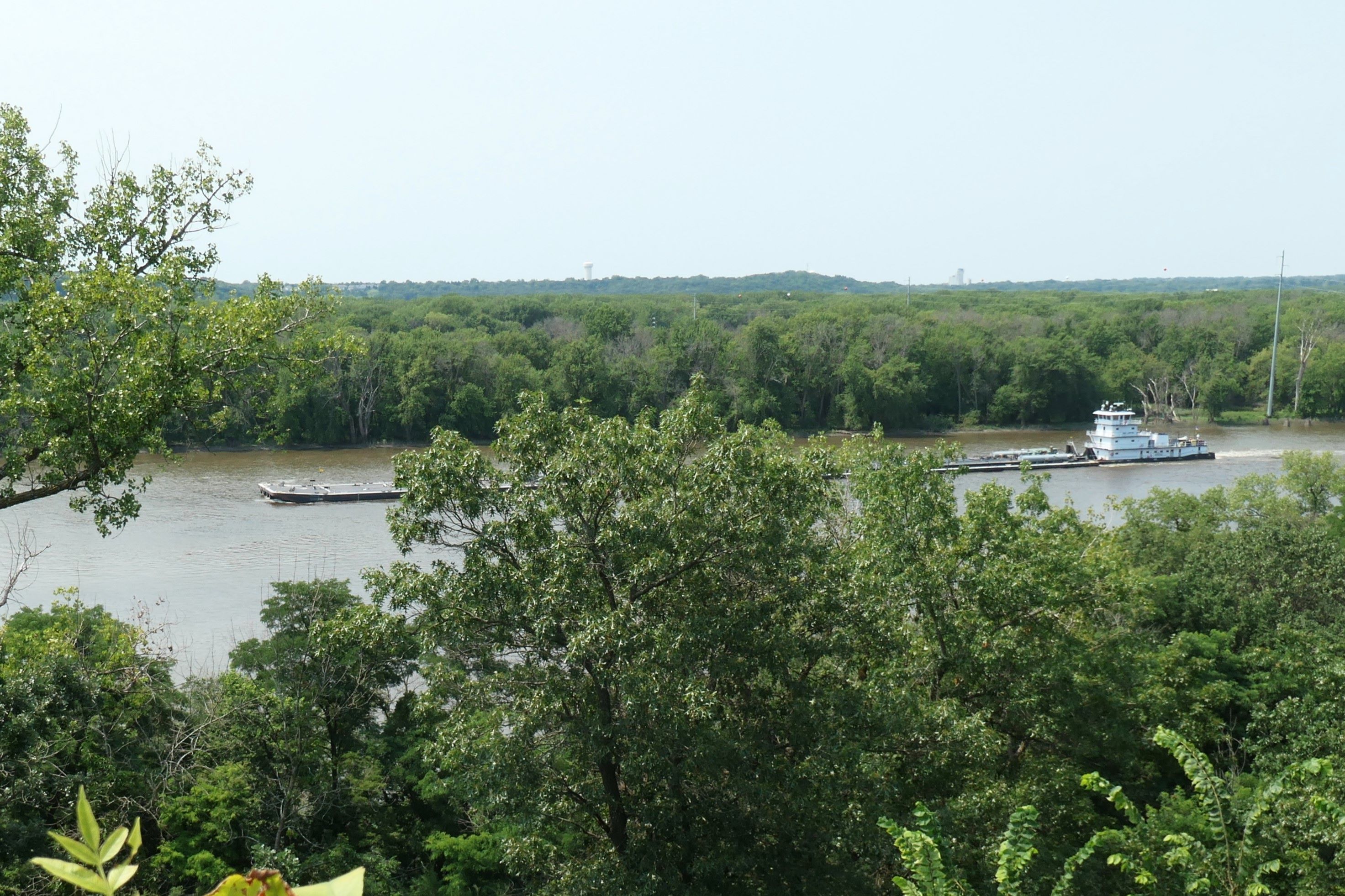
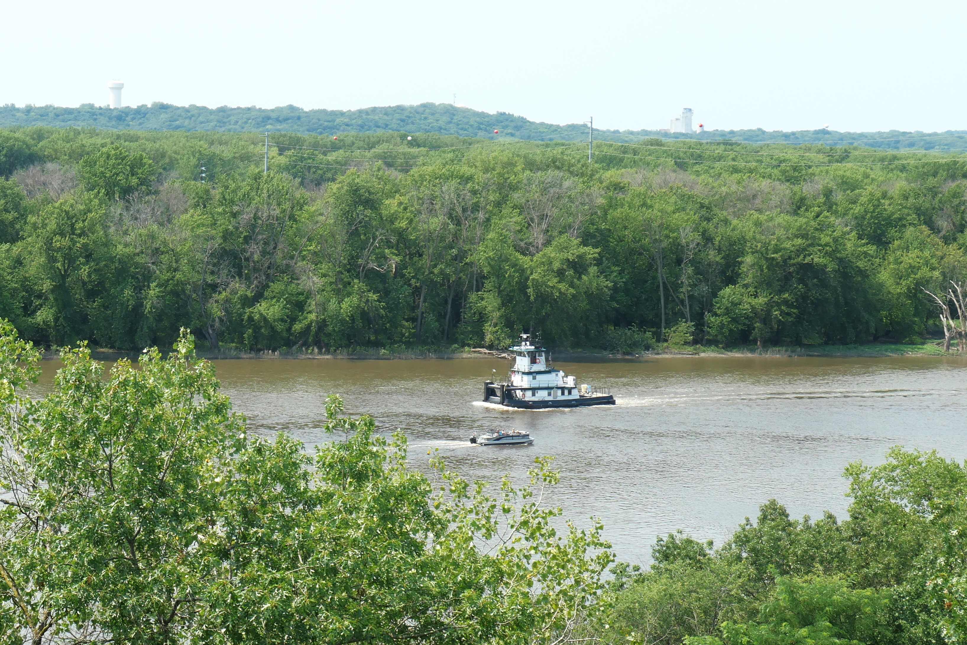
One big 15 barge tow is equivalent to 1,050 large tractor trailers or 6 locomotives and 216 rail cars! The tow is just cruising downriver with 2 knots of push!


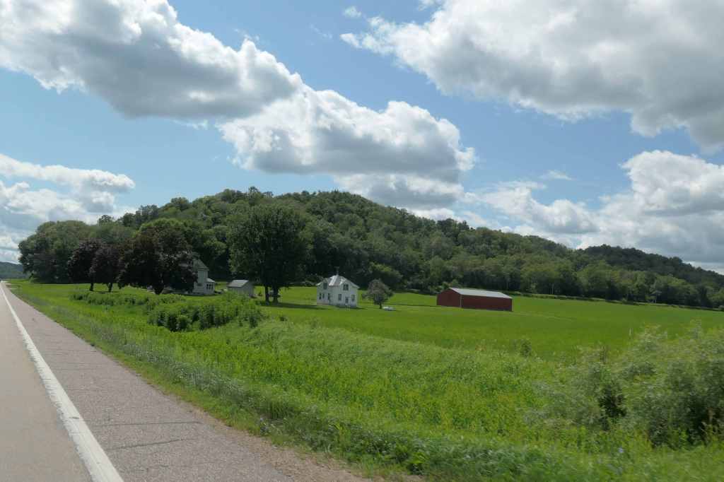
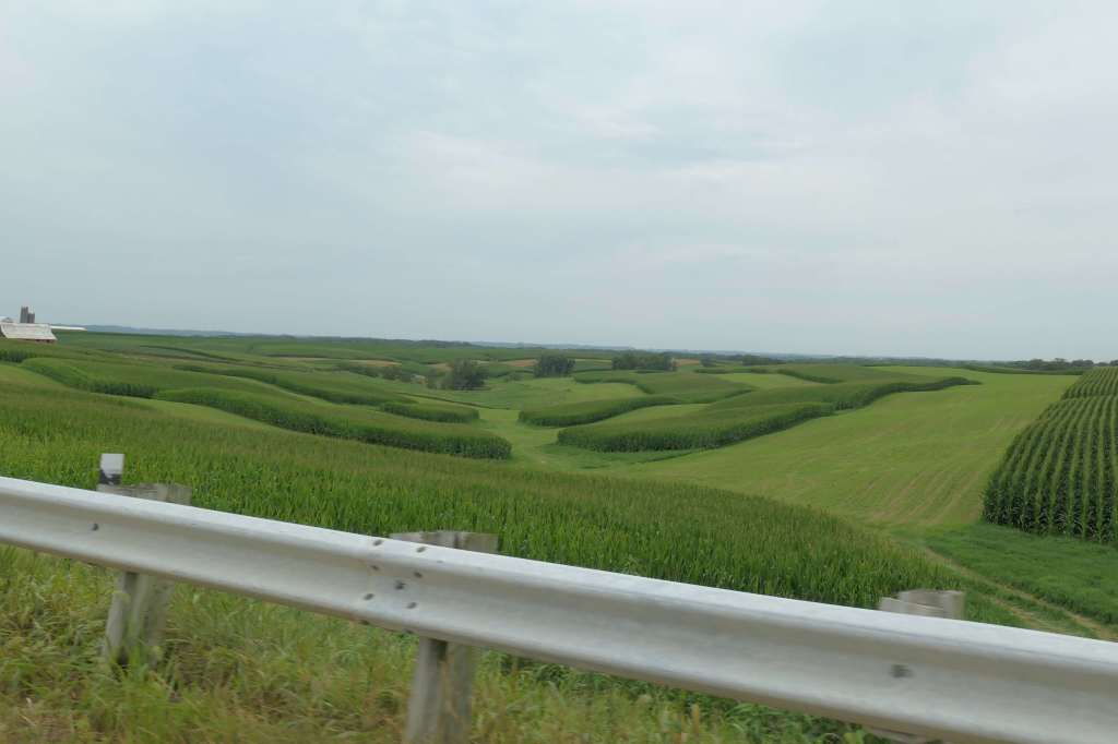
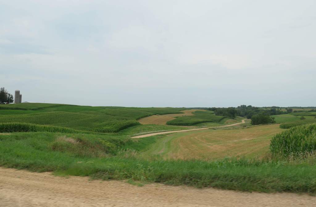
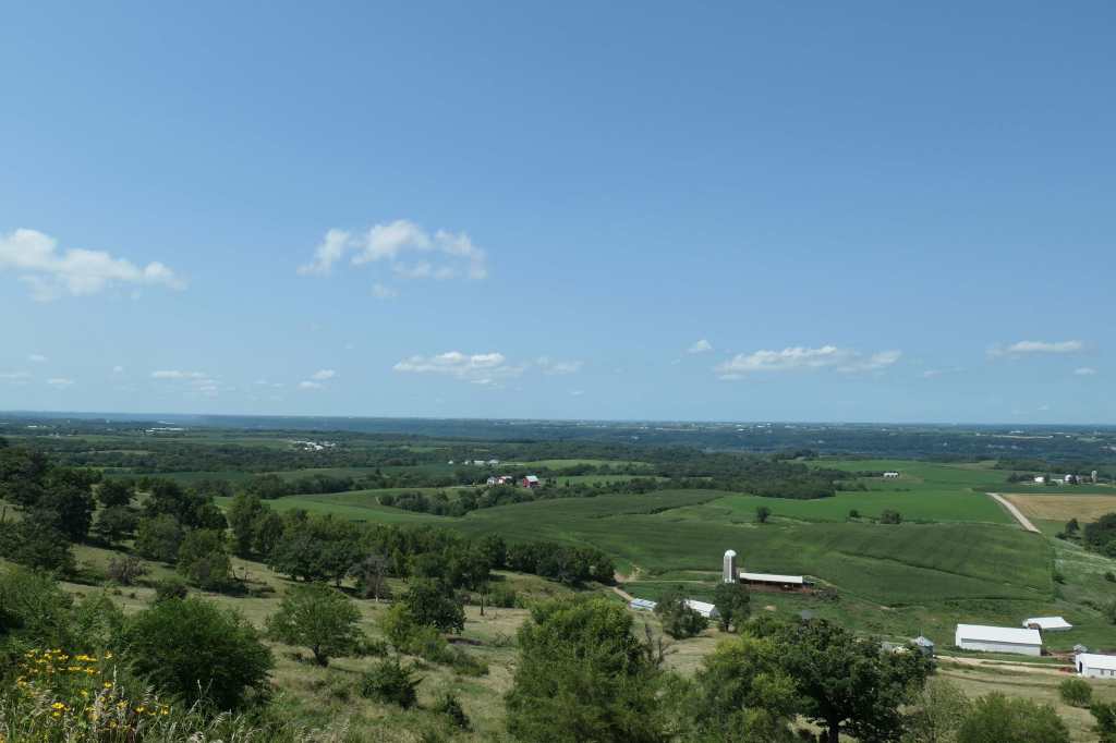
But enough about boats. How about scenery? Weeks ago, as we neared the Cashton area – we noticed how the hills were more bumpily – [“bumpily,” Honey? Yes, “bumpily.”] – and often sharper. Well, it got more pronounced near the big river. Couple of stops in, we learned more about the Driftless Region. Apparently, there’s a whole chunk of Wisconsin, Iowa, and Minnesota that was NOT smooshed by the last glacier period; hence when the water ran off, it carved a bunch of valleys and left even more of these abrupt “bluffs.”

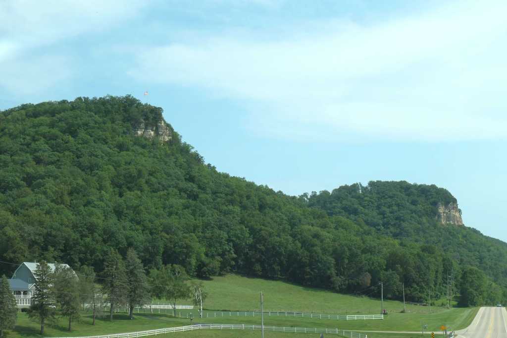
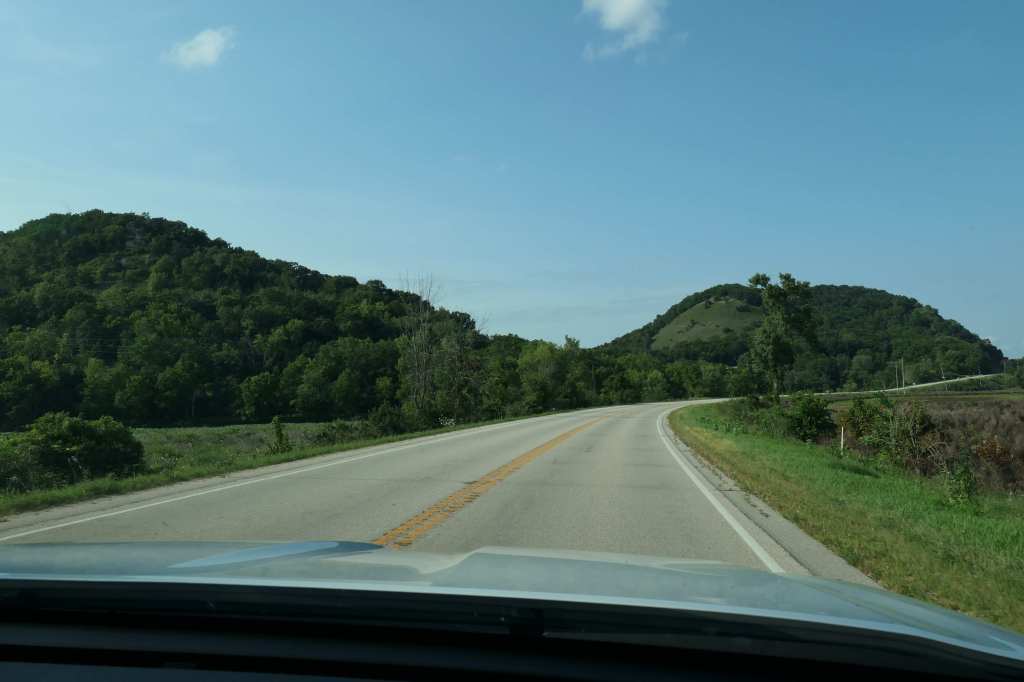
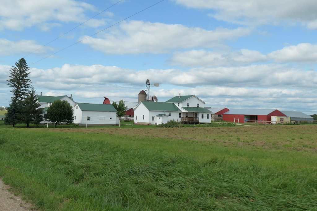
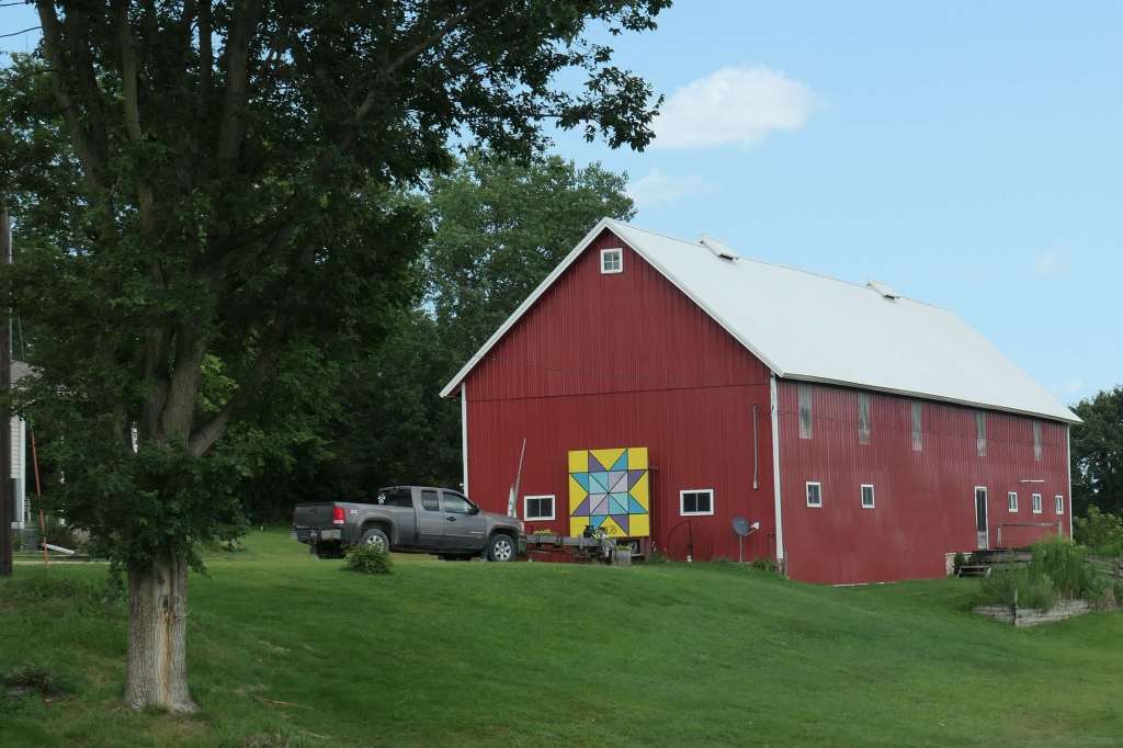
Between the strings of bluffs, the valleys are filled with incredibly fertile farmland.


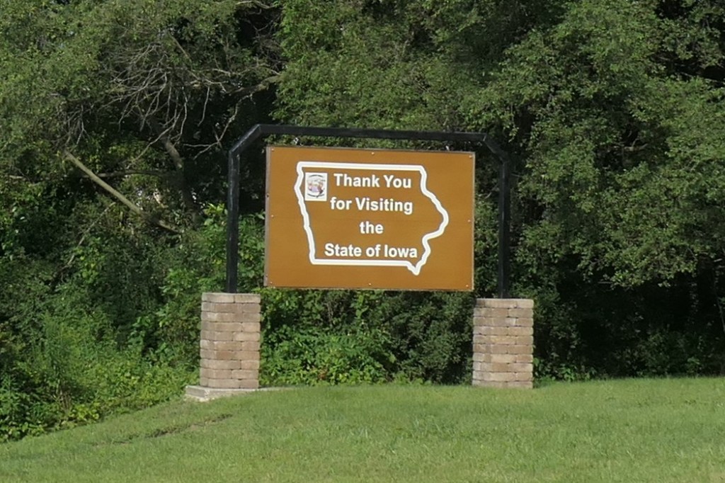
We later learned that the Great River Road actually stretches 3,000 miles through ten states. Oi vey, that’s a lot of scenic roadway!
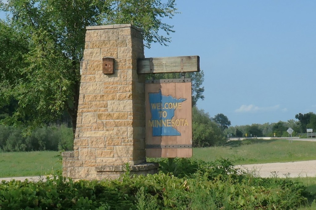
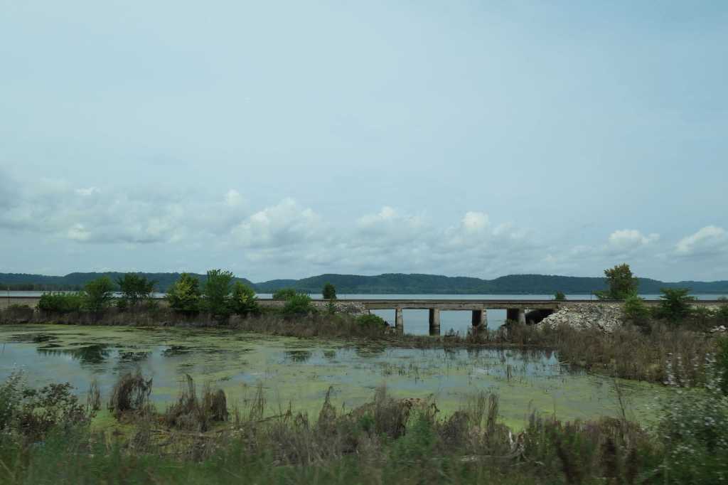
Apple to Cash

While reloading the car located at the top of the hill in Appleton, we discussed crossing the state approximately 160 miles due west to Cashton for our next rental. Should we keep it simple and travel as the crow flies? Us? Of course not.

As is our M.O., we turned a 160-mile trip into more than 230 miles by dipping to the south, thus changing the nice straight line into a “V” through south central Wisconsin. And what a great decision!

Why? Because it was a perfect 74-degree day for a stroll in the garden.

Not just any garden, the Olbrich Botanical Gardens in Madison, Wisconsin, on preview day of the “Blooming Butterflies” exhibit in the Bolz Conservatory. Plants and butterflies!


Man, oh man were the butterflies ready to show off. They were everywhere! So much so that one had to be careful when taking a step. Here are just a few:


The jungle-like conservatory was full of growth and exotic blossoms!


Although we could have stayed for hours, we finally left the conservatory to find the whole outdoor garden was lush and blooming, as well.


Spotting beekeepers in the distance, we stepped over to watch.

When they noticed our interest, the beekeepers took a break to bring us a sample of fresh honey. Yum!


Interestingly, as we got further west, the topography changed.


Our destination, the Village of Cashton, is in the middle of Wisconsin’s largest Old Order Amish community, with 2,500 Amish residents. At approximately 25,000, the Wisconsin Amish population is the fourth largest in North America, fewer than only Pennsylvania, Ohio, and Indiana. Who knew!

And with buggies, come… horses!

🙂

“Forward”

The morning after we saw Tahquamenon Falls, we loaded the car and drove out across the field. Forward ho! Time to change states!

As we took in the views of the Hiawatha National Forest, our navigator spied a “scenic drive” down Pt Detour. (Yes, that’s what it’s called, Pt Detour. Not kidding.) Plunking her finger on the map, she cheerfully indicated “all” we’d have to do is drive to the end of the peninsula for what should be fantastic shots of Big Bay De Noc off Lake Michigan. Driver said, sure!

That last shot shows Little Summer Island, which is basically at the head of the famous Green Bay.

Anyhoo, after our “short” detour… Wait. Stop right there. “Short”? Hardly! It was 24 miles each way. [SIGH] Okay, okay. After our “lovely afternoon drive on the l-o-n-g, albeit pretty, peninsula” – [better?] – and now armed with the friendly shopkeeper’s advice of where to stop for melt-in-your-mouth cheese popcorn once we crossed into Wisconsin, we were on the way again. To cap off our time in Michigan, we even scored four pounds of fresh cherries from a pop-up roadside fruit stand. Yes! The thoughtful vendor also provided “pit cups” so we could enjoy the cherries while on the road without spitting the pits at each other. 🙂 Ptui!


Many of us east coast folks have been on the well-known highway US 1 somewhere along its path from Key West to Maine. Well, much to our surprise we stumbled onto US 2. That’s right, the northernmost east-west US Highway in the country!

Who knows, it might be fun to follow it from one end to the other someday! Of course, we’d need a boat. Its 2,571 miles are interrupted by the Great Lakes.


In 1851, feeling it reflected their drive to be a national leader, Wisconsin adopted “Forward” as the official state motto. The state flag and seal still display the motto, although you have to look closely! Ha!


Forget flags or mottos, shoot, 6.5 minutes in, we stopped at our first cheese shop. This is Wisconsin, after all. And, holy cow, what tasty cheese! (“Holy cow?” Get it. Sometimes we crack ourselves up.)

With numerous cheese products selected and stowed, we made our way to a riverside cabin in Appleton, Wisconsin, to find…? More stairs!


In the end, we settled into the little cabin on the Fox River and stayed put for several days, catching up on blog photos, eating cherries, and watching the nature around us while Todd claimed victory at numerous card games. Lucky rascal!

Ah…….

Root beer?

After visiting the Pictured Rocks National Lakeshore, there were still so many things we wanted to experience on Michigan’s Upper Peninsula but only one day left in which to do so. Looks like we under-planned exploring the U.P.! So, Mackinac Island goes on the list for another time. For now, we backtracked slightly to Paradise – Paradise, Michigan, that is – to see one of the largest waterfalls east of the Mississippi (Niagara, of course, being the largest), Tahquamenon Falls. Yeah, try and say that again or better yet, get the Nav system to understand what you’re saying so you can find the place! 🙂

Upper Tahquamenon Falls, at 50 feet tall and 200 feet wide, is the largest waterfall in Michigan. During the spring, more than 50,000 gallons of water per second drops over the Upper Falls!

There is a nice path from the Upper Falls parking lot. Easy peasy, in fact, but does it seem like we are going downhill, maybe slightly?

Oh, don’t worry. We’ll be going back up.


Was the climb worth it? WOW!

Hey, wait, it’s… brown? Yep. Due to tannins from the cedar and hemlock, the water is an unusual – and oddly mesmerizing – amber color, hence the local nickname of “Root Beer Falls.” Some folks nearby declared them “Whiskey Falls.” Others said, “Iced Tea.” There’s something for everyone.

It’s also quite foamy. The low mineral content of the Tahquamenon River combined with the decaying organic matter and the turbulence generates a large amount of foam. Like the top of a good root beer, right?

That was stunning! What’s next? Well, the route to the Gorge View path involves another trek on the aforementioned (and already climbed) 94 stairs. At least we’d be going down this time. So off we went, down the 94 stairs and back up the trail, only to find…

Uh-oh.

You’ve got to be kidding me. 🙄

Now considering the first climb as simply a warm-up, we squared our shoulders and began the trip down to the Gorge View.

As it flattened out (thank goodness), we followed the long boardwalk along the gorge with its massive trees, but the path itself seemed to prevent many pictures (can’t see the forest for the trees) until we came upon the most interesting tree. The bark “spirals” all the way to the top, as if the tree’s being wrung out like a cloth. Anybody that knows about this condition, please share!

Eventually, of course, we made it to the bottom of the gorge.

So, again, was it worth it?


During the long trip back, one of us got a tad grumpy. Nah, we actually had fun the whole way up!


After zipping up (yeah, right) 181 stairs back to the top, we drove four miles downstream to see the Lower Falls portion of the park. Today was exercise day!

The Lower Tahquamenon Falls splits into two halves each more than 100 feet wide and 22 feet tall.

We had a great last day on the Upper Peninsula!

Oh, my aching thighs…

Picture perfect

The quick week in Canada really made us want to stay longer, but preplanning, i.e. prebooked lodging, dictated otherwise. “Nope. Time to be a Yooper!” We’d driven right through the skinny part of the U.P. to get to the Canadian side of The Soo, but now we headed back to actually look around.

First stop on the way to the cabin? The famous Whitefish Point. For those that may recall the Edmund Fitzgerald, “… they’d have made Whitefish Bay, if they’d put fifteen more miles behind her.” Some of us even remember the news report of the loss in 1975. (Showing someone’s age there, Babe.) Well, this is the place. The incredible Great Lakes Shipwreck Museum established a memorial utilizing the bell retrieved from the Edmund Fitzgerald.

Among the museum exhibits is the biggest Fresnel Lens we’ve ever seen. So much info about other wrecks and information about the more than 6,000 to 25,000 shipwrecks on the Great Lakes – those that have been found. During that crazy period of the late 1870s into the 1930s, vessels seemed not to care about any sort of navigation rules. Size and speed were what mattered (yikes)! With more than 300 wrecks, Whitefish Point came to be called the graveyard of Lake Superior.


We drove away talking about boat life without all the modern tools we’d had, like electronic charting with GPS positioning, or accurate powerful radar that helps see through storms, or heck, multiple days’ worth of weather forecasting (at least a guess! 😉 ). What a life it would have been!

While driving we realized that the U.P. is quite different from the mitten of Michigan. No wonder they “stole” it from Wisconsin. Ha! It’s much more rugged and remote, and we soon learned our cellphones were useless. Thank goodness Pearl has SatNav (just like mentioned above)! As much as we love driving near the water, cruising through the country roads of the U.P. was filled with a lot of trees, and some of the roads are paved. But not the “driveway” to our tiny cabin on a little lake. Nothing like the views with water involved! (Sensing a trend there?)


Since we were going to be on the Upper Peninsula for less than a week, it was time for more exploring. Let’s go, Honey! Where to next?

Pictured Rocks National Lakeshore

Todd definitely butchered the name of this picturesque shoreline at least 20 times, insisting on “painted rocks” instead. Oh, his poor brain. Anyway, first stop was the Visitor Center to stamp our National Park Passport Book, snag a map, and formulate a plan for this rambling park. Got it! We begin with the falls right here, taking the trail along the canyon wall leading to stairs on either side of the falls…of course we did both sides (up the stairs down the stairs…). Up next a stop at a lovely beach (that’s right a beach), then multiple stops as the road goes through the forest and back to the coastline and its stunning views. 40 miles to the Pictured Rocks and 40 miles back! Hard to put the beauty of the U.P. into words!


At our stop near Miner’s Falls, we met and took to the trail with “Lincoln, from California.” Traveling to visit family in Michigan, young Lincoln was well ahead of the pack, as they’d stopped for some photos. When Todd jokingly told him we’d beat him to the top, Lincoln tossed up an impish grin and bounded ahead. Then he waited for us to catch up before repeating the process. Wise guy. Oh, Alan, we missed our little Florida guide!

After that scenic day of exploring, we returned to the cabin to grill some grub, rest up, and talk about the next day.

Glad we didn’t have to stick to snow mobile speed!