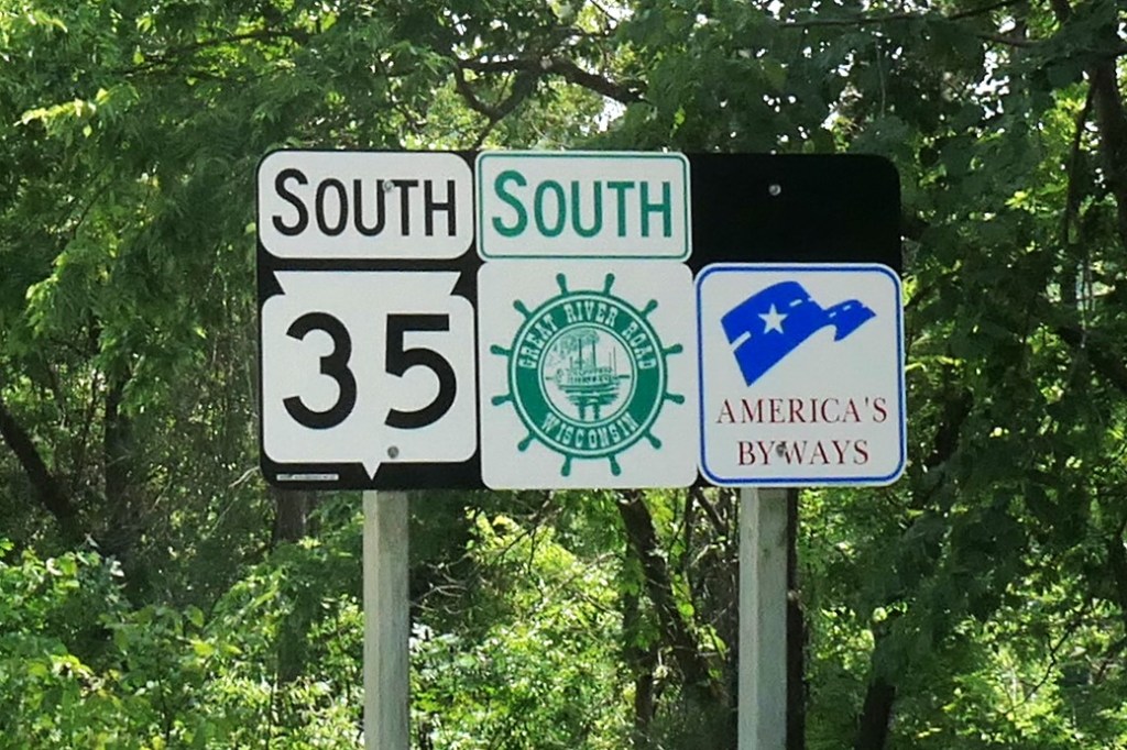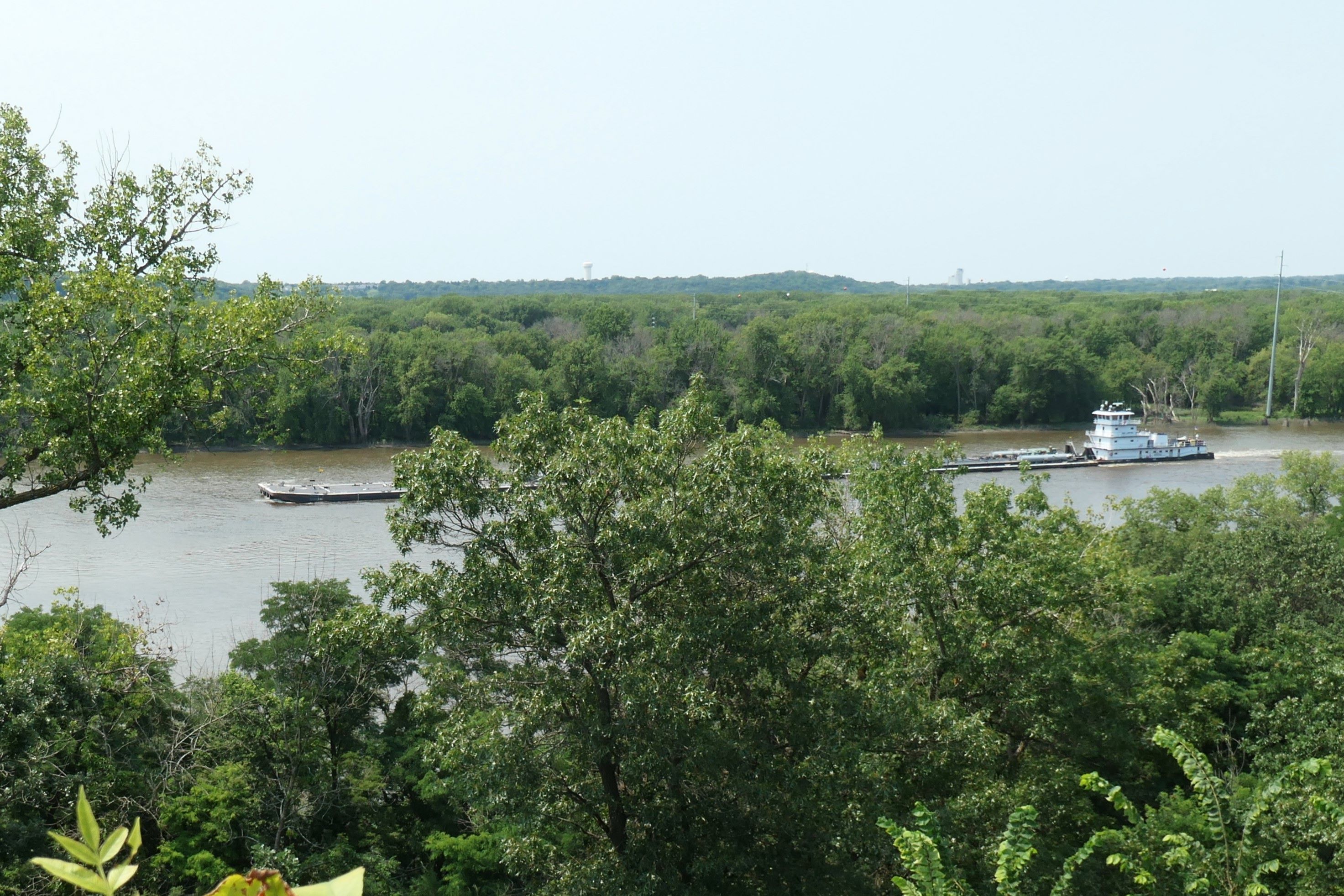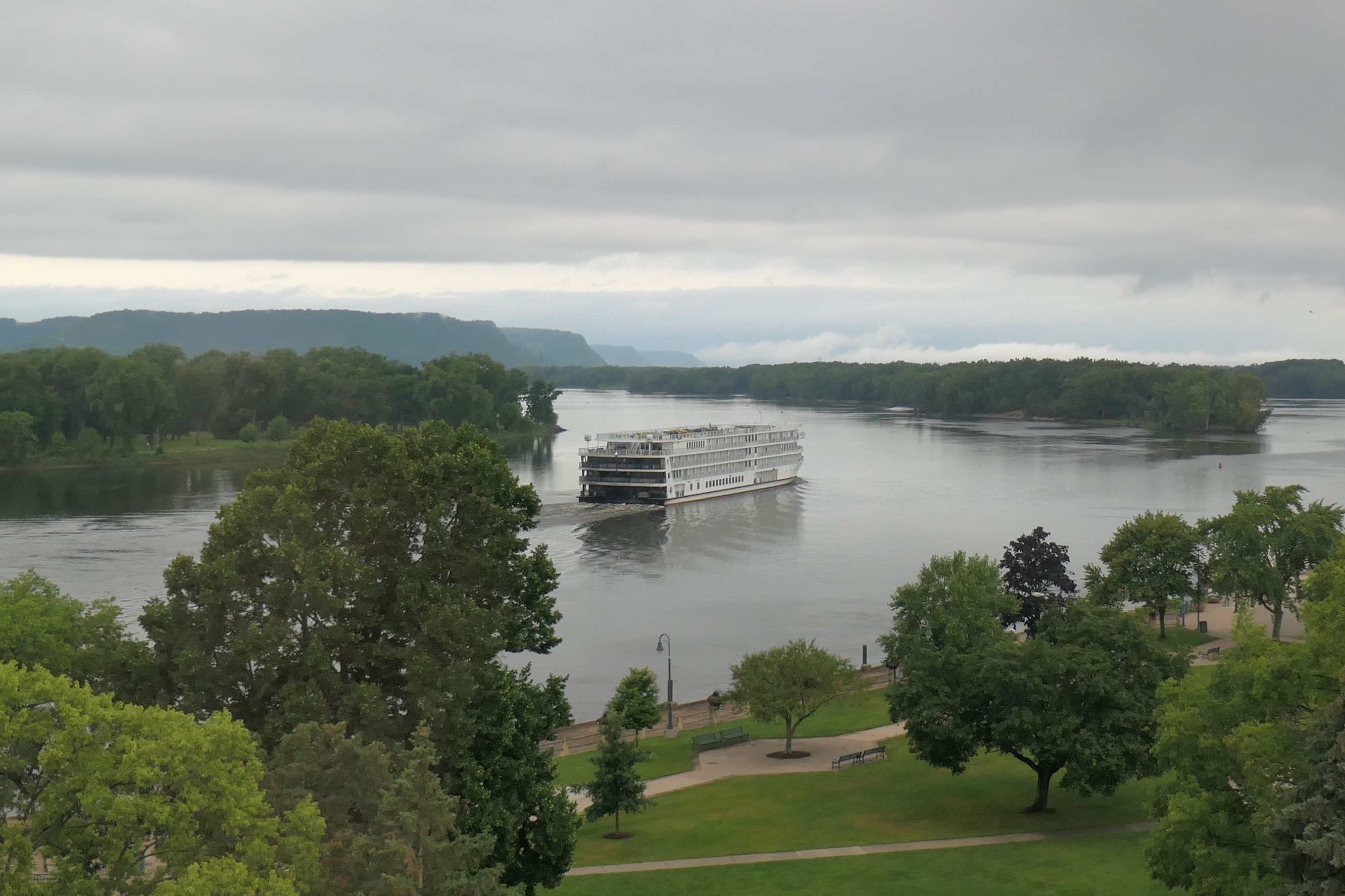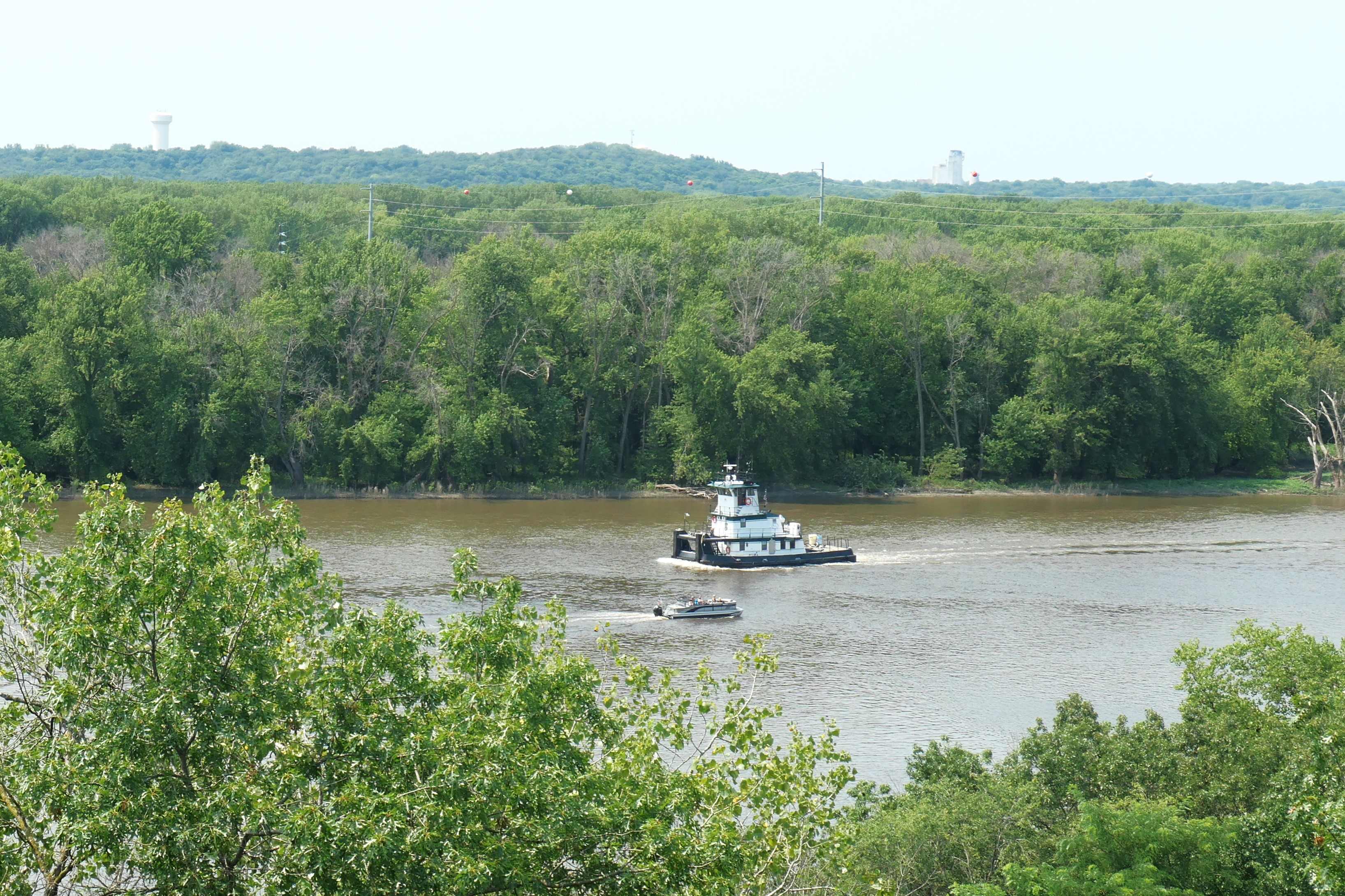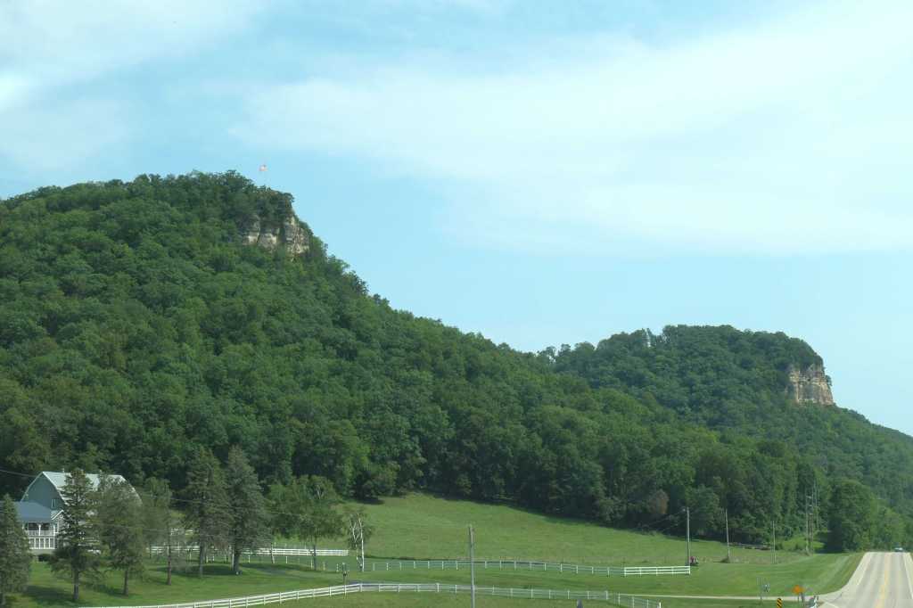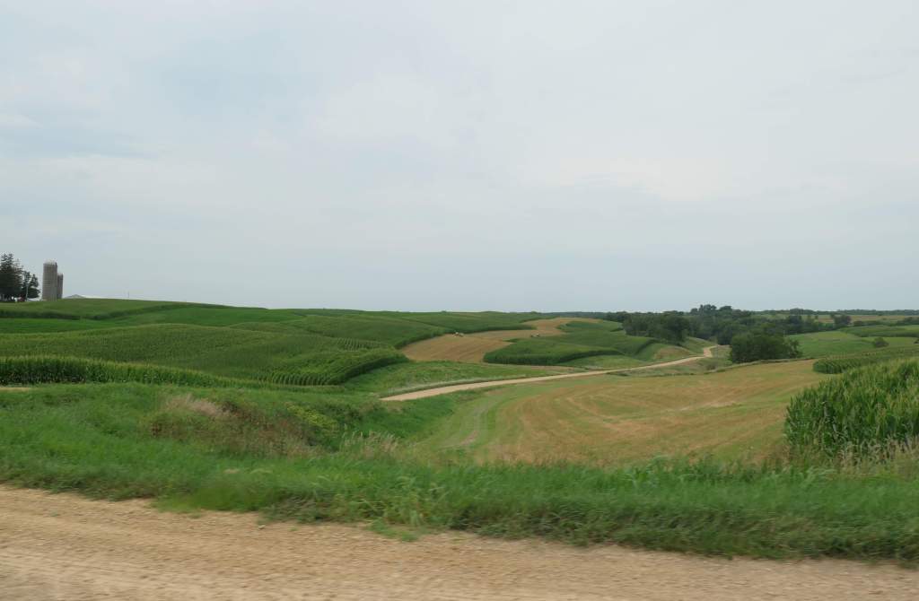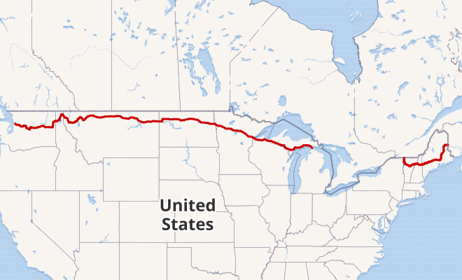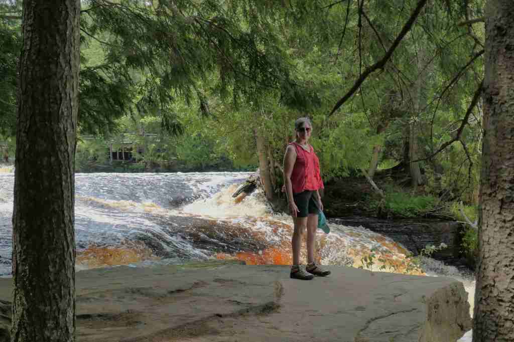
So, we spent five days driving 500 miles of sculpted Driftless Area on the Great River Road, during which we saw numerous boats, learned much about commerce, passed plenty of bikers, and tried to catch many an elusive train. Blah, blah, blah.
500 miles in 5 days? You must have stopped somewhere other than “scenic over-kills?”
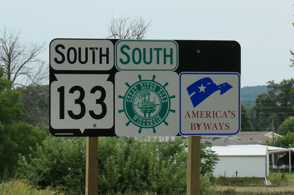
You’re right! Let’s take it from the starting point in Wisconsin.
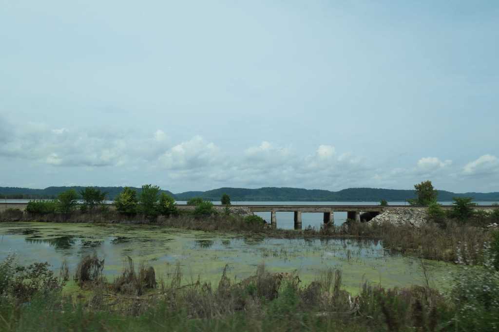
We traveled about 100 miles south, to cross the Mississippi River into Iowa, where the planner amongst us had plenty of ideas for our brief stay.
Anybody remember Sinclair gas stations?
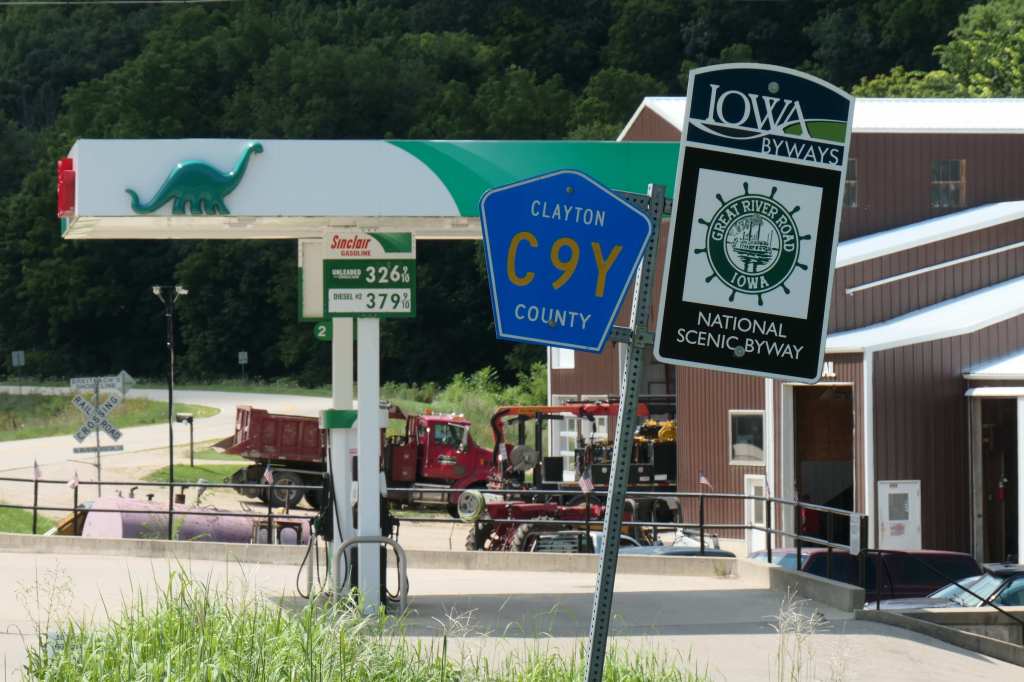
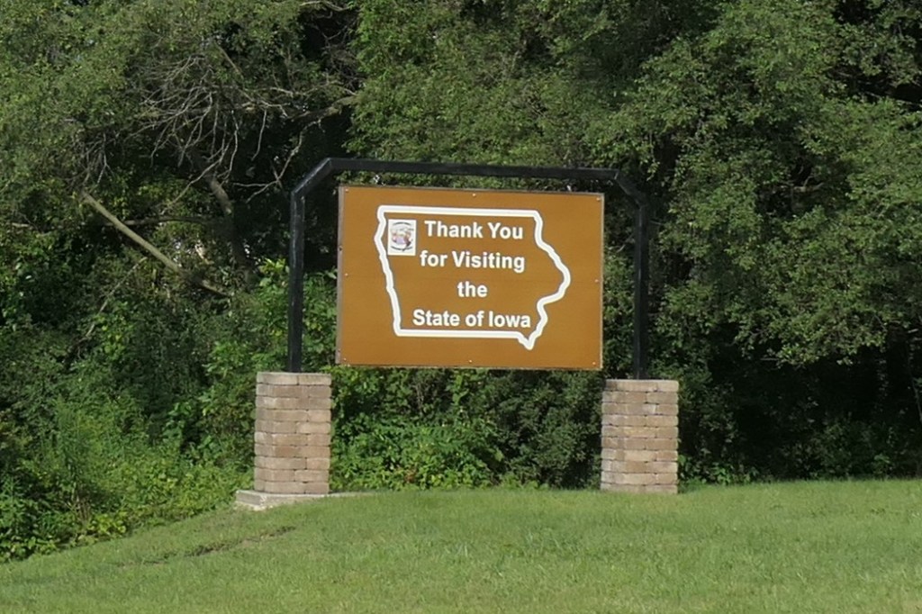
Iowa
Fenelon Place Elevator Company – Dubuque
Installed in 1882, by the former mayor and State Senator, J.K. Graves. Why? Seems this prominent businessman simply wanted a lunchtime nap (funny story – link above). Hence, he built “the world’s shortest and steepest railroad,” a *funicular railway now known as the Fourth Street Elevator. Our kind of dude!
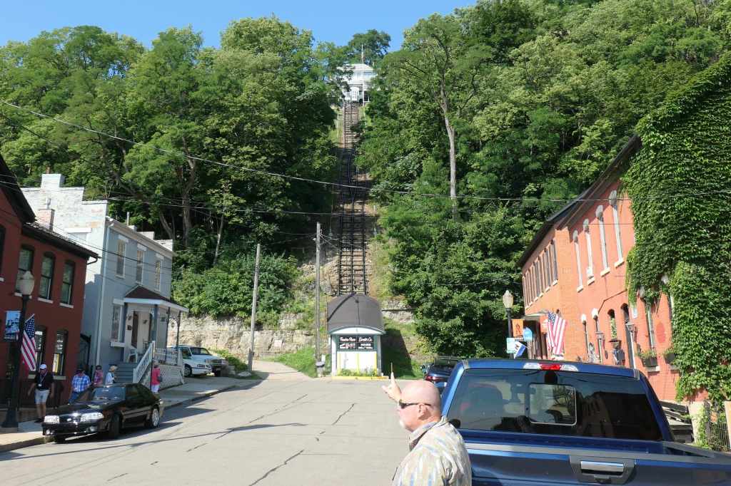
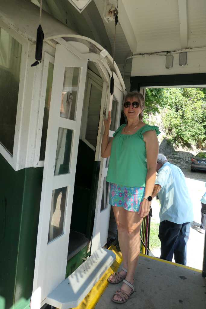
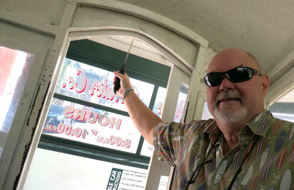
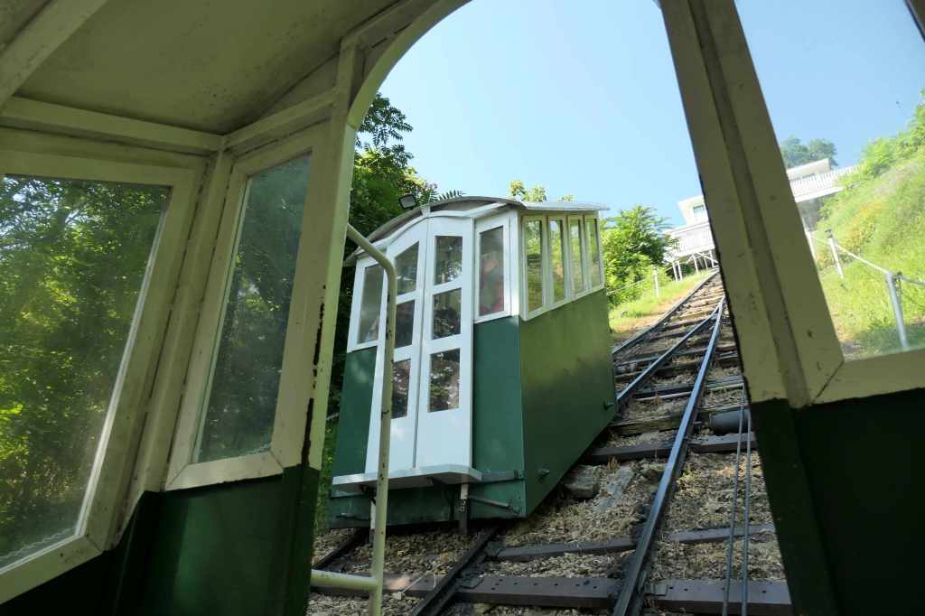
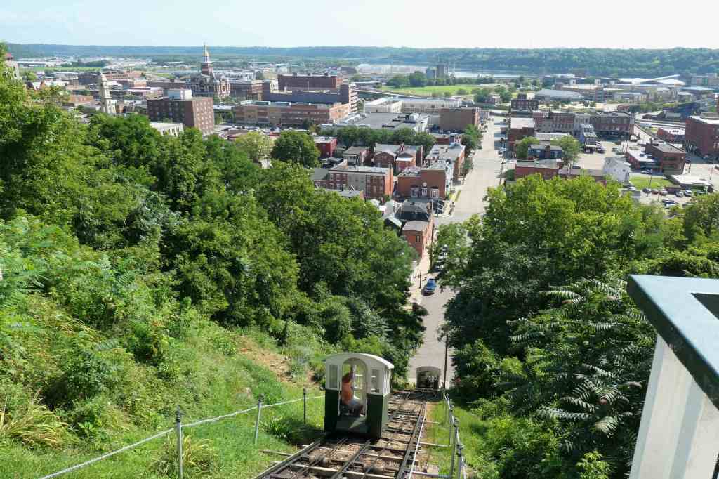
*A funicular is a cable railway system connecting points on a steep slope, characterized by two counterbalanced carriages permanently attached to opposite ends of a cable looped over a pulley at the top. The carriages move synchronously: as one ascends, the other descends at an equal speed. You’re basically sitting on a staircase. (No aching thighs! 🙂 )
Soaking up national history
First up, the Mines of Spain to learn about French-Canadian fur trader, Julien Dubuque, the first European to settle in what is now Iowa to work the lead mines and trade with the Native Americans. Lead of all things. Plenty of it got shot!
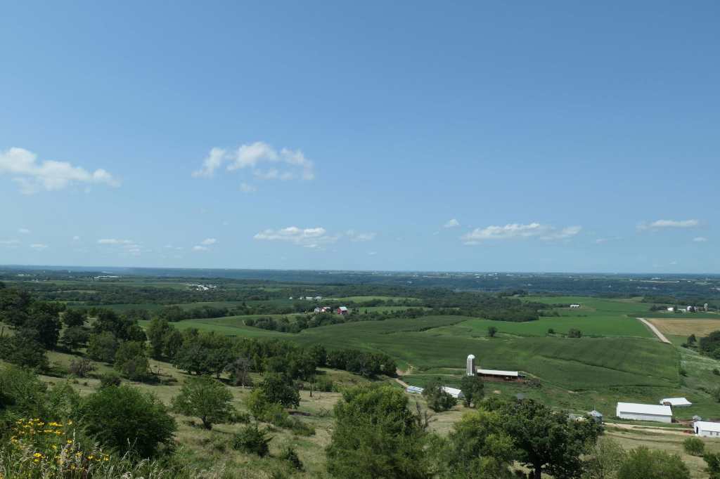
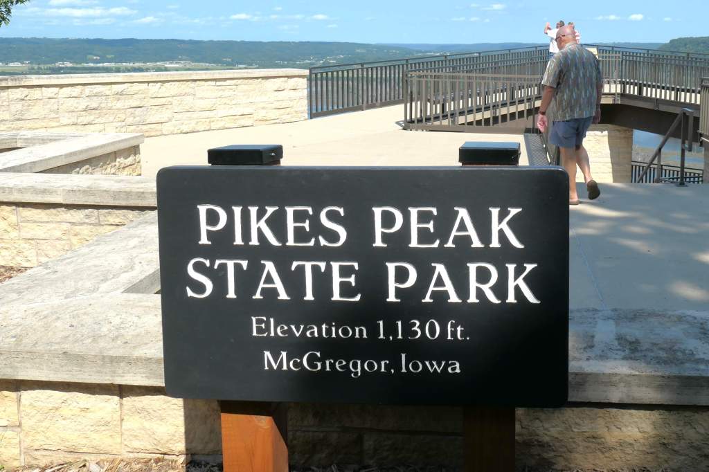
Next stop, Pikes Peak. No, not that Pikes Peak. Like its larger, famous counterpart in Colorado, this bluff in McGregor, Iowa (that few have heard of), was also named in honor of General Zebulon Pike, who mapped the site as a good spot for a fort.

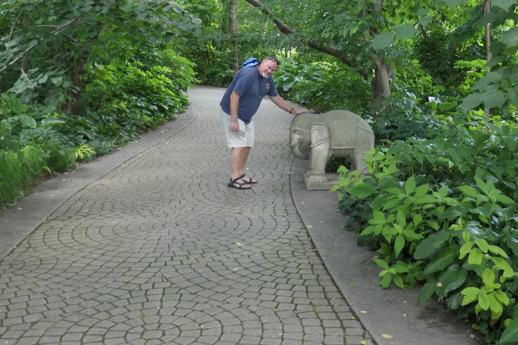
For our final stop in Iowa, we squealed into the Effigy Mounds National Monument parking lot on two wheels – 8 minutes before closing – to [quickly] read about the 200+ ancient Native American burial/ceremonial mounds built more than 1000 years ago, most shaped like animals. See, we were stopping a lot! 🙂
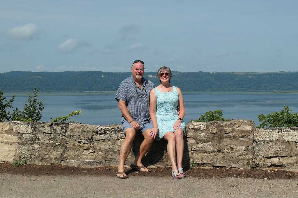
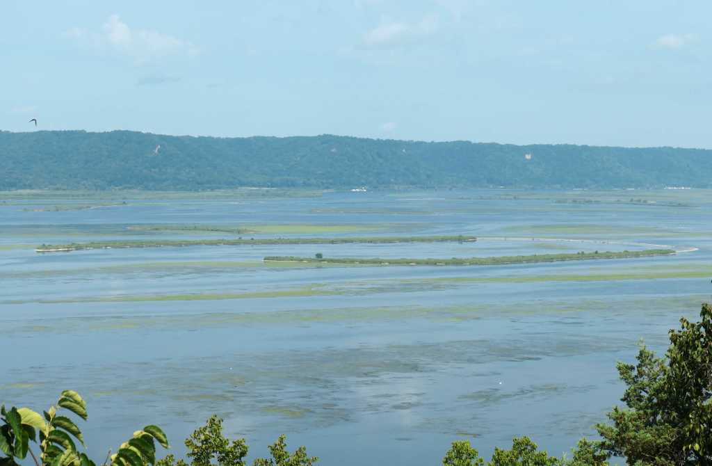
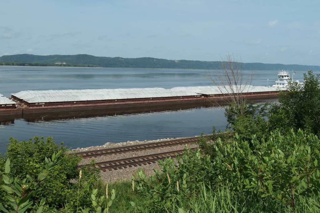
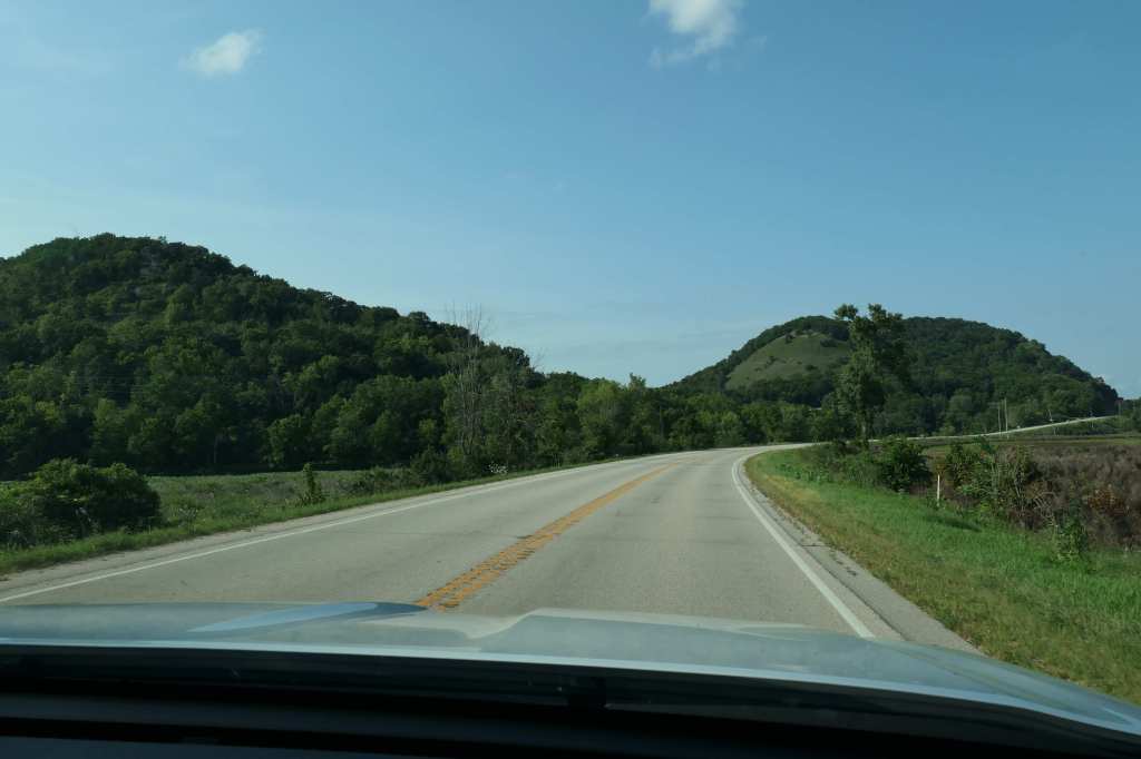
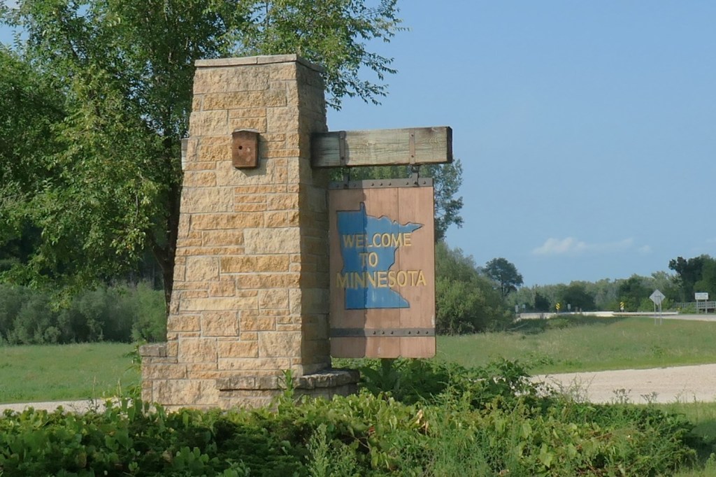
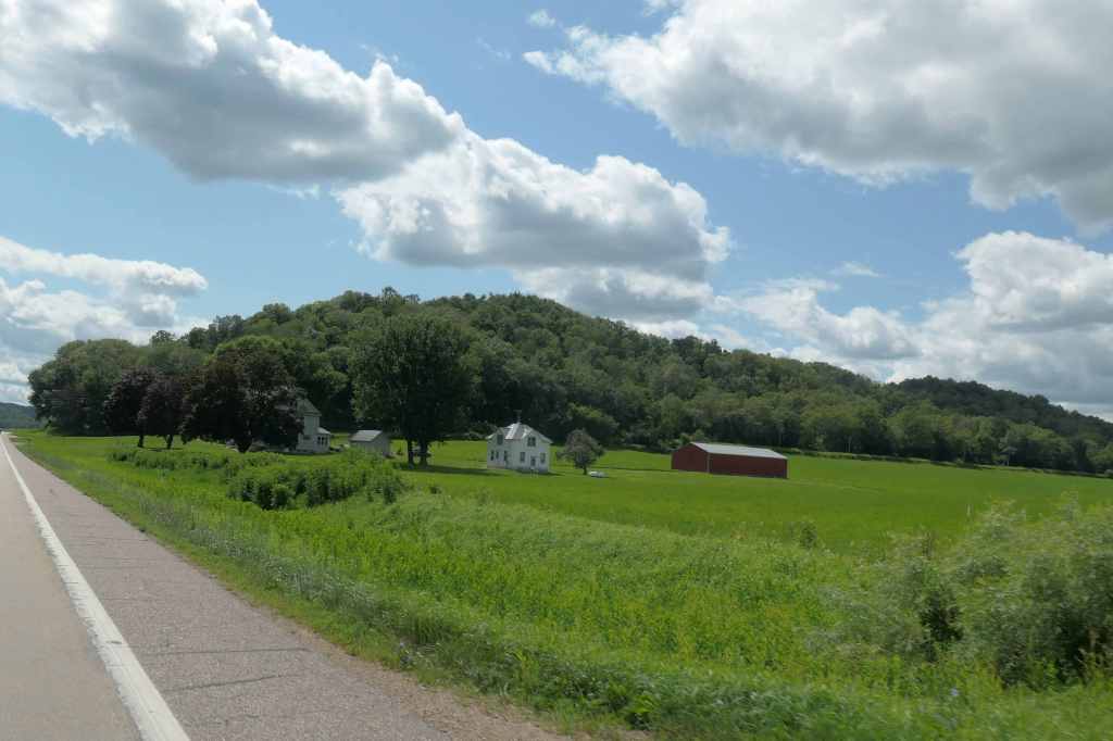
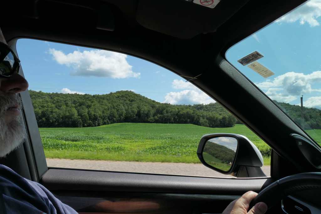
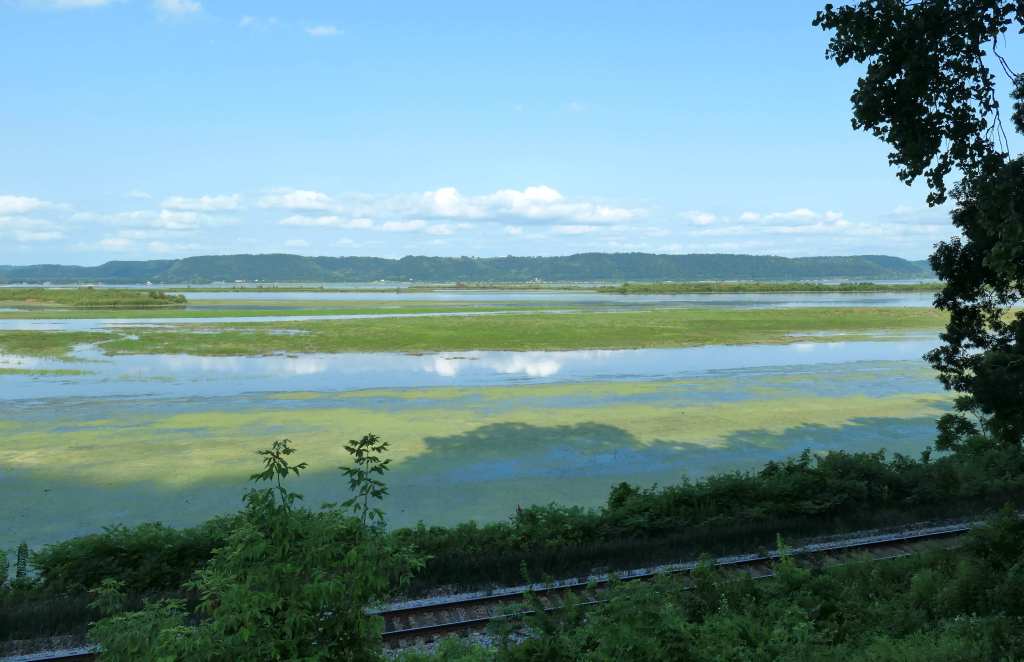
We then continued into Minnesota, where, while traveling 140 miles north, we repeatedly heard – but missed – the train…
Nothing but tracks in the late afternoon light.
Minnesota
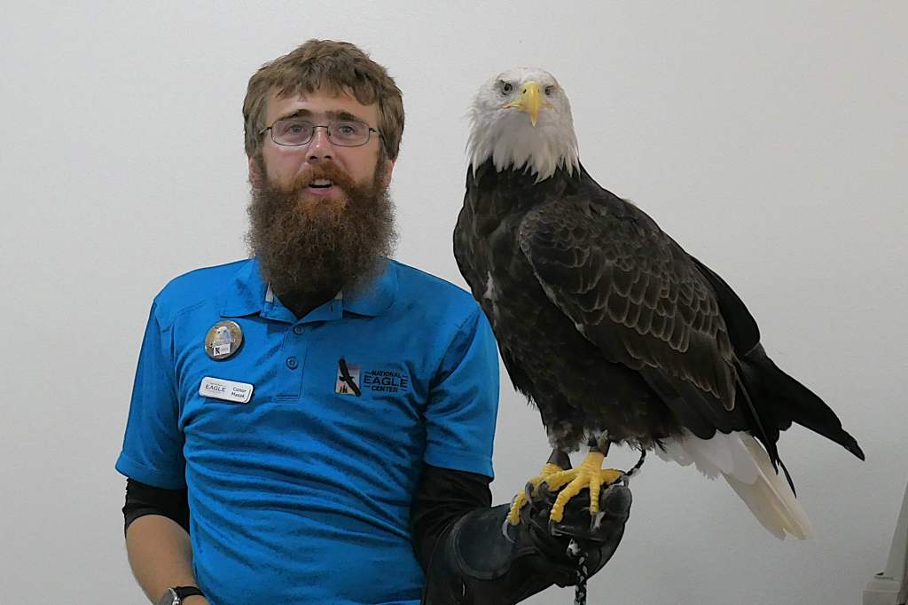
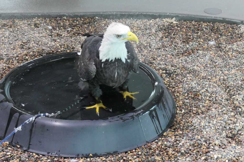
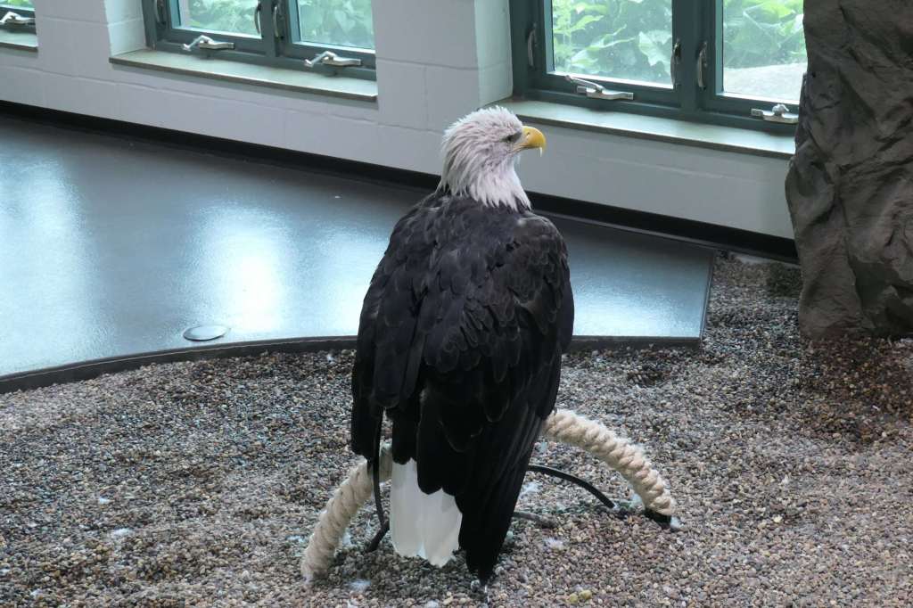
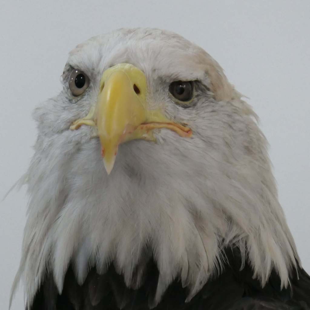
National Eagle Center – Wabasha
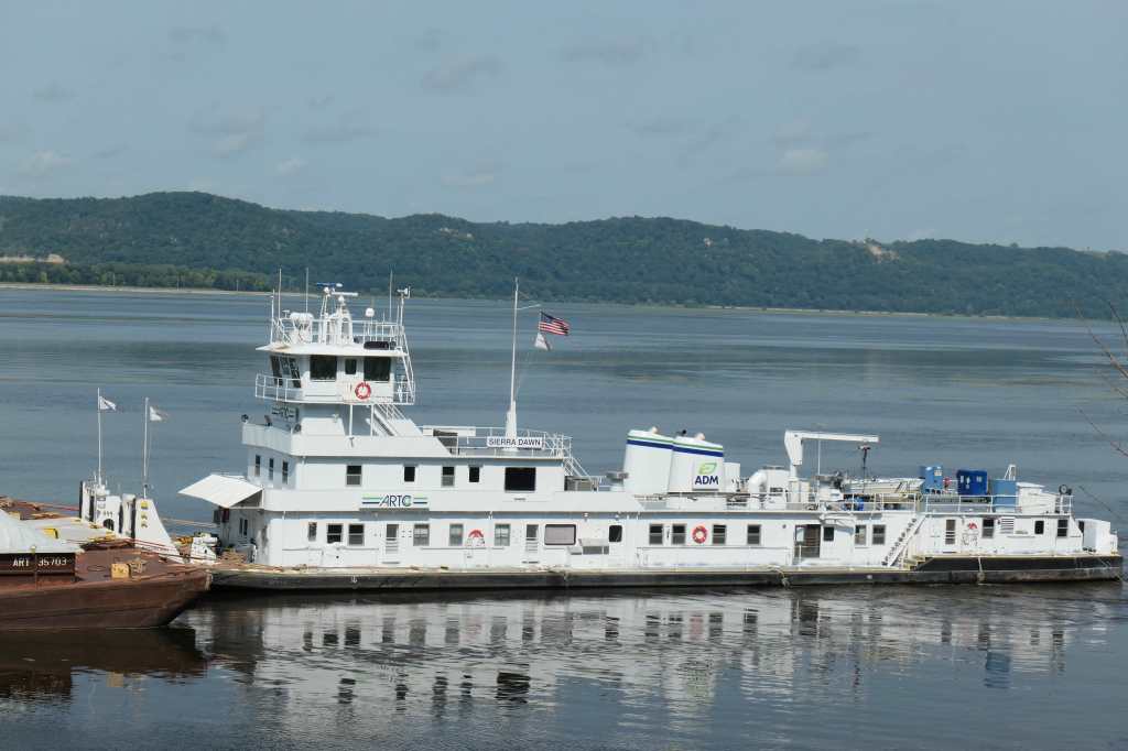
This was one place we had targeted for the whole trip. After attending the fascinating educational session led by Conor and Eagle Ambassador Latsch, we met other rescued eagles, Angel and Was’aka, in the visitor center. With one look from an eagle, it’s easy to see why it won out over Ben Franklin’s idea of a turkey as our national bird and symbol. Up close, they’re breathtaking!
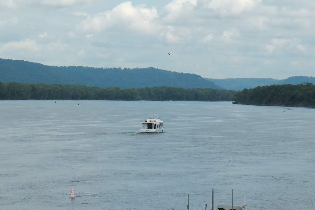
(And a trawler! Lucky ducks!)

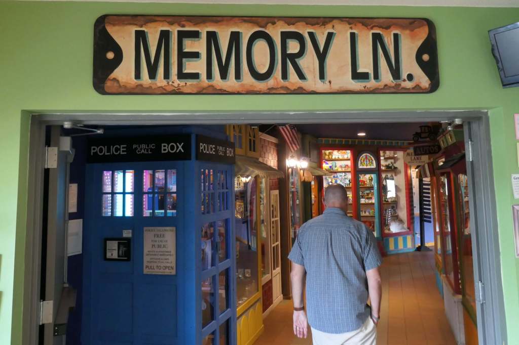
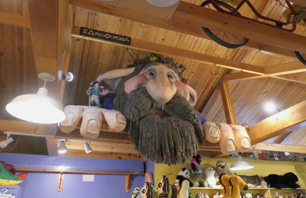
Lark Toys – Kellogg

The aforementioned stops were all researched, planned activities, which is fine. Sometimes, however, we stumble on really cool places that are even better. Such is the case with Lark Toys.
Excuse me. Say what??
Sorry, Latsch. You’re way cool.
By the way, nice smile!
Ahem. Back to the toy store.
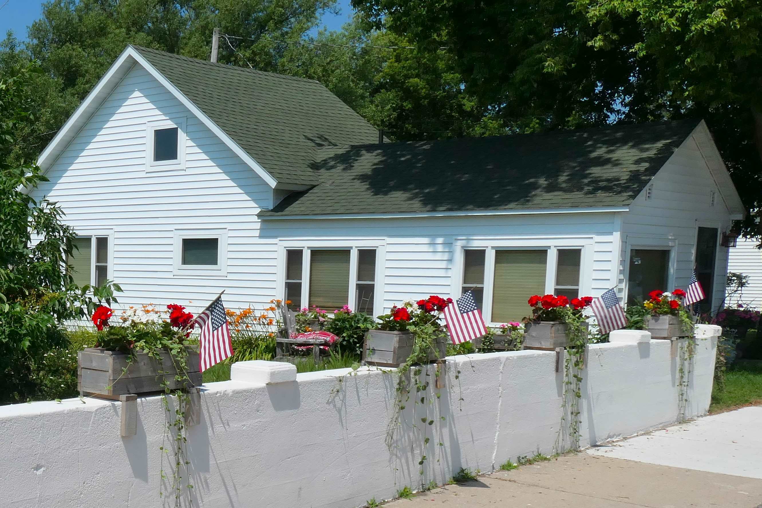
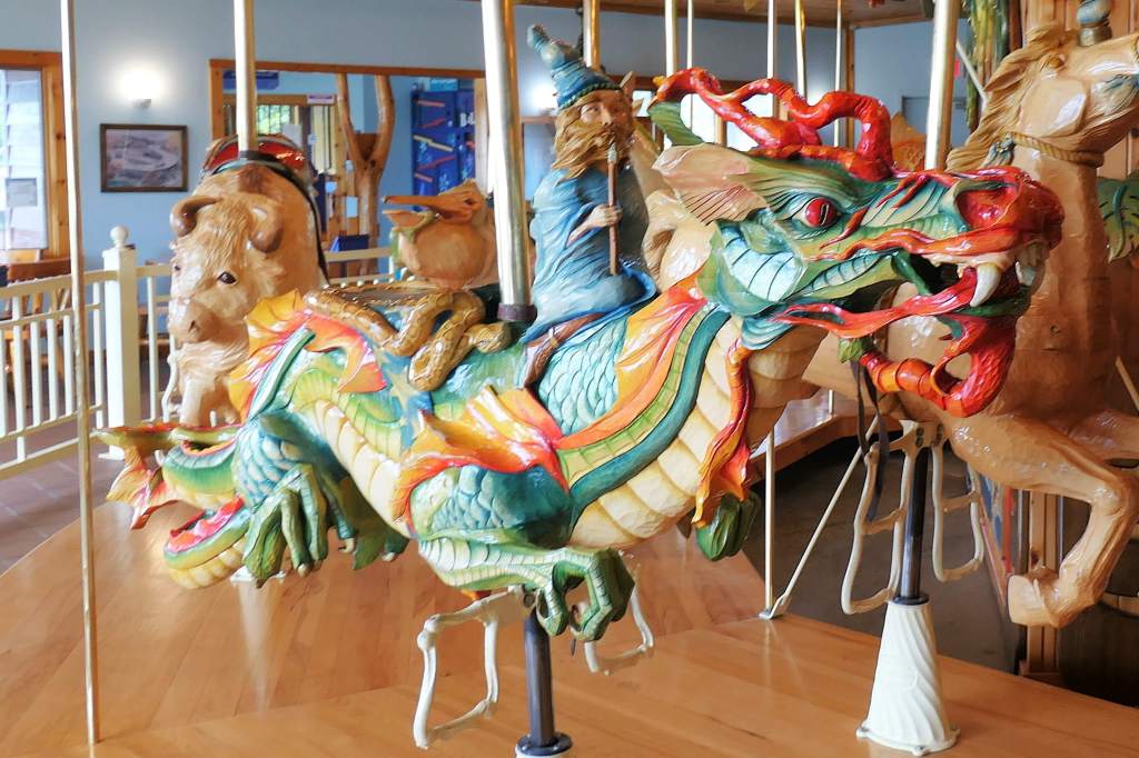
Seemingly in the middle of nowhere, we’d stumbled on Lark Toys, recipient of numerous awards, including “Top 10 Best Toy Stores in the World,” by USA Today! In addition to the huge store (obviously), there’s a bookstore, a workshop where they craft old-fashioned wooden toys, a cafe, miniature llamas, mini-golf, and even a toy museum.
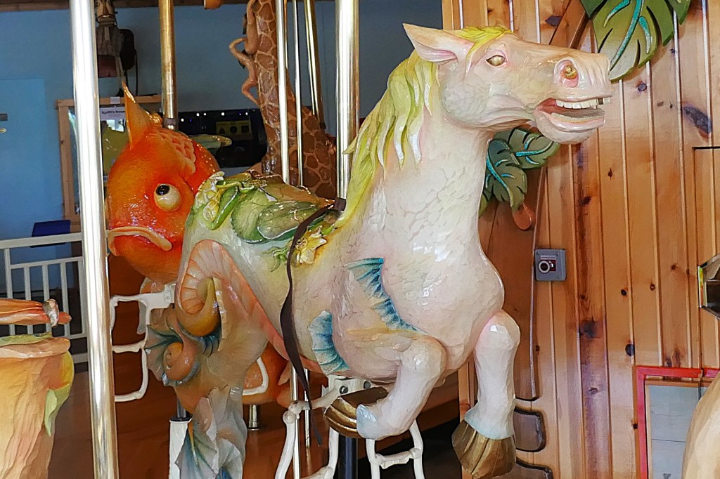
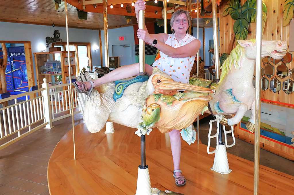
The BEST part? Well, besides Todd playing with stuff… we really liked the carousel of unique creatures! The vision of one of the founders, who wanted to create the biggest toy he could imagine, each artistically detailed animal is hand-carved from Minnesota basswood and designed to relay a message.
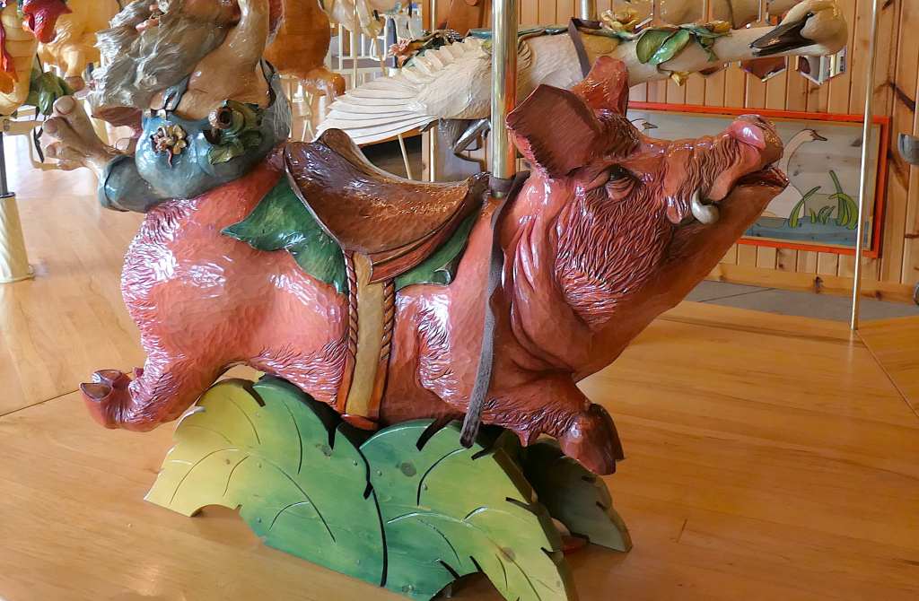

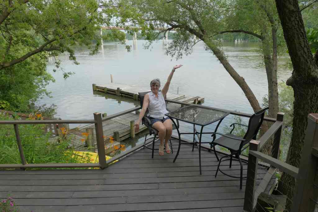
Susie chose the Seahorse, right? Wrong. She flew around on the Pelican, who teaches us to rise above life’s trials, free ourselves from what weighs us down, work together, spit out the bad stuff, and enjoy the good in life!
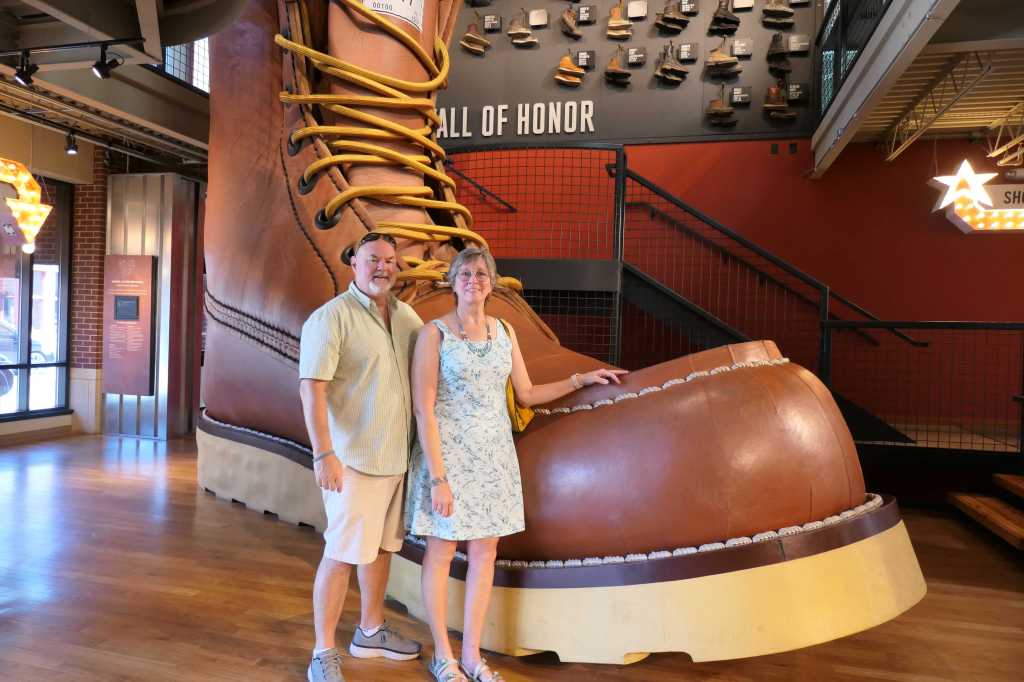
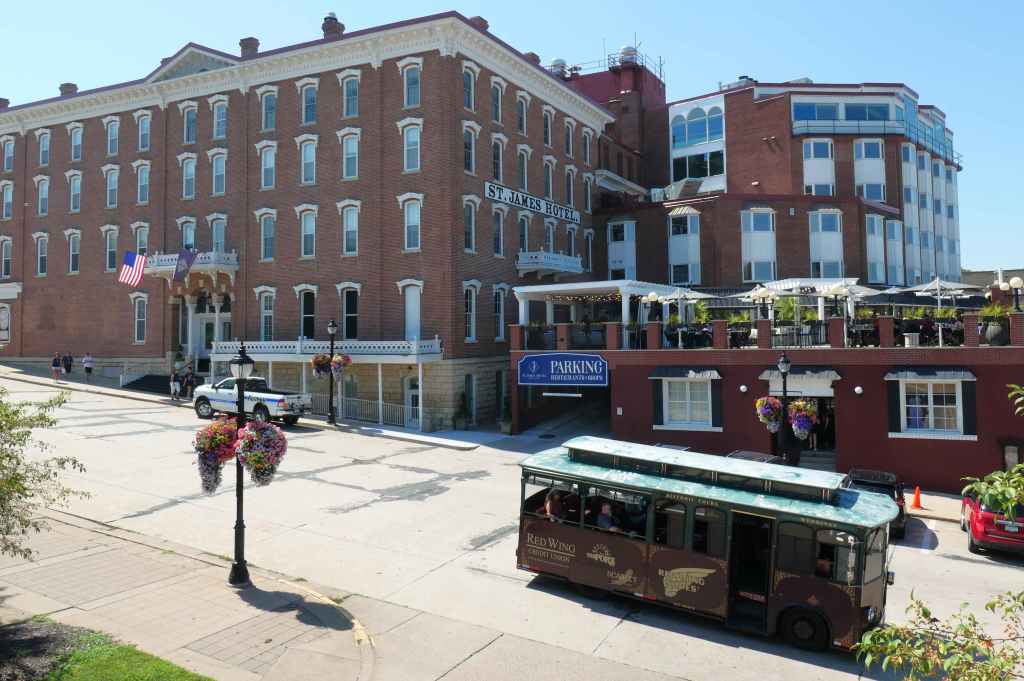
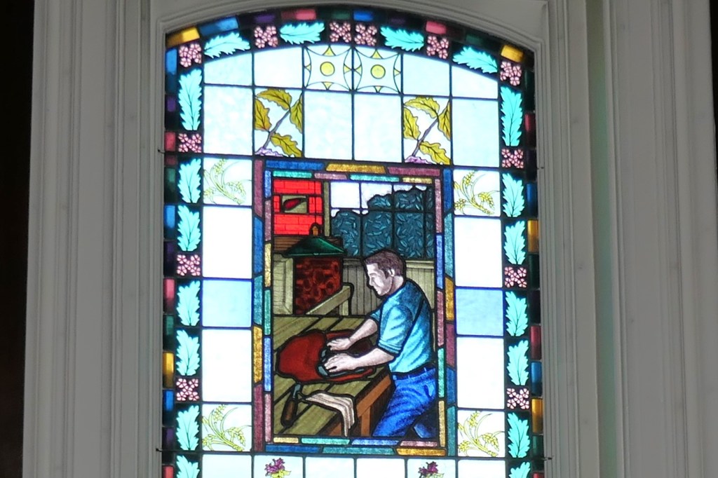
Red Wing Shoe Company Museum – Red Wing
In 1861, Silas B. Foot (snicker) opened the Foot Sterling Shoe Factory to manufacture footwear for use around the farm. He later opened the S.B. Foot Tannery to control the quality of leather used in the factory and assisted a young immigrant, Charles Beckman, in opening C. Beckman & Company, Vendor of Boots & Shoes, which later became Red Wing Shoe Company (whew). The same tannery, now owned by Red Wing Shoe Company, still serves as the primary source of their signature leather.
Wisconsin
Closing the loop
After purchasing a trinket from the Red Wing Pottery Museum, we traveled slightly further north to Hastings, MN on one side of the river before crossing over to Prescott, WI on the other side.
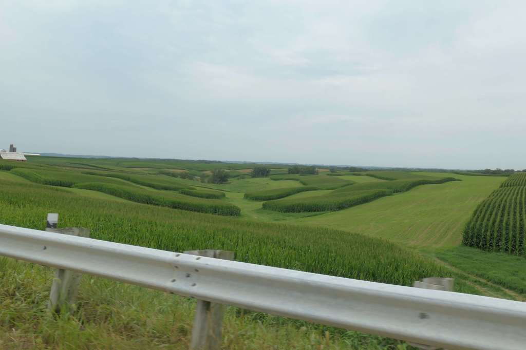
The final leg of our Great River Road journey was 125 miles south to our starting point, thus completing the circle.
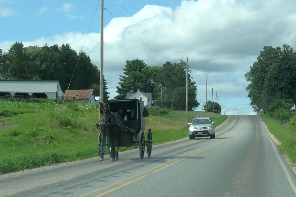
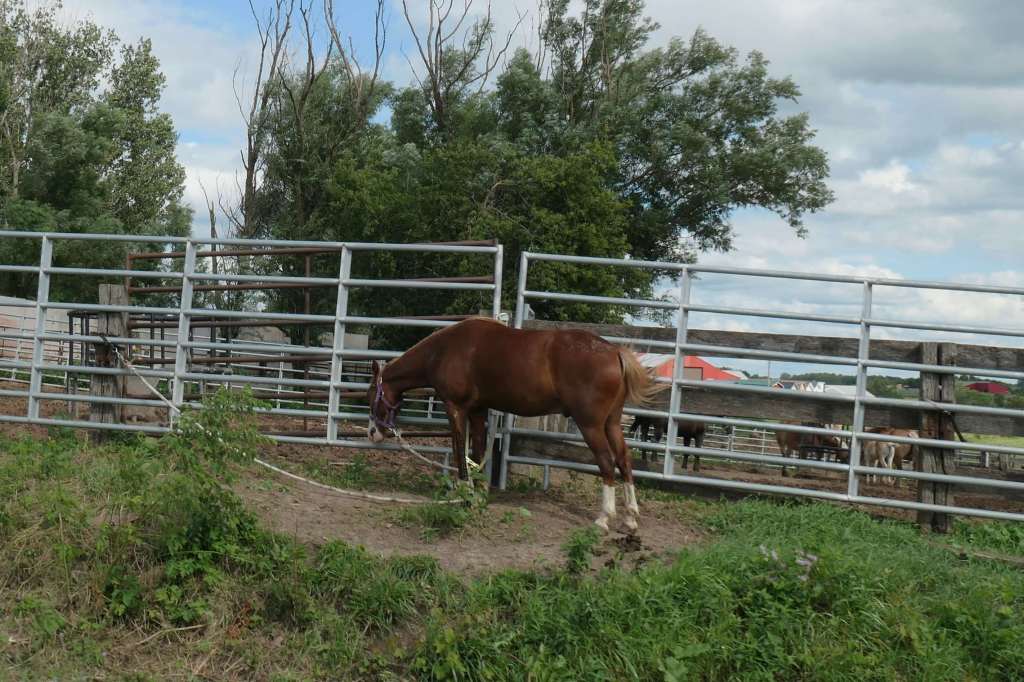
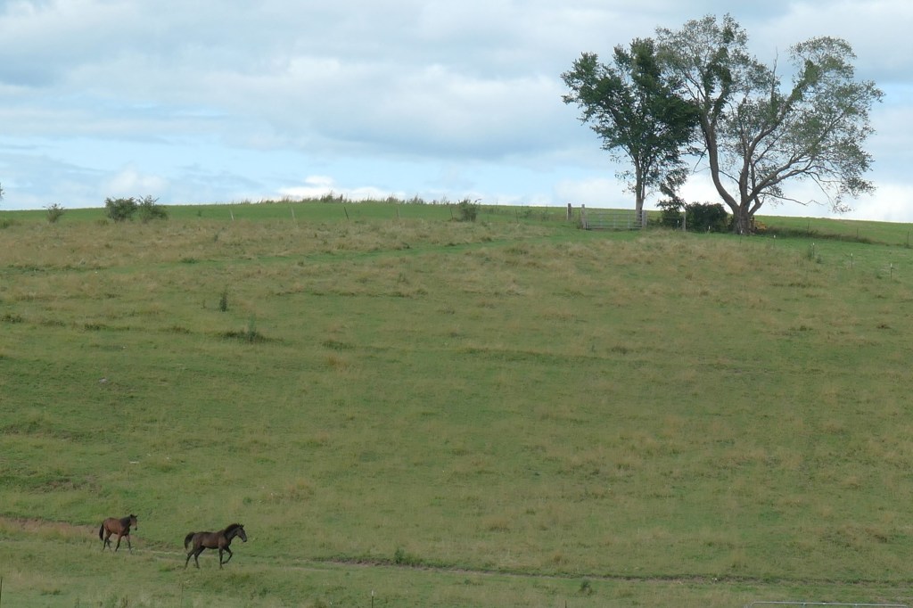
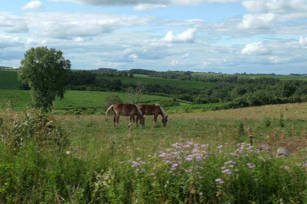
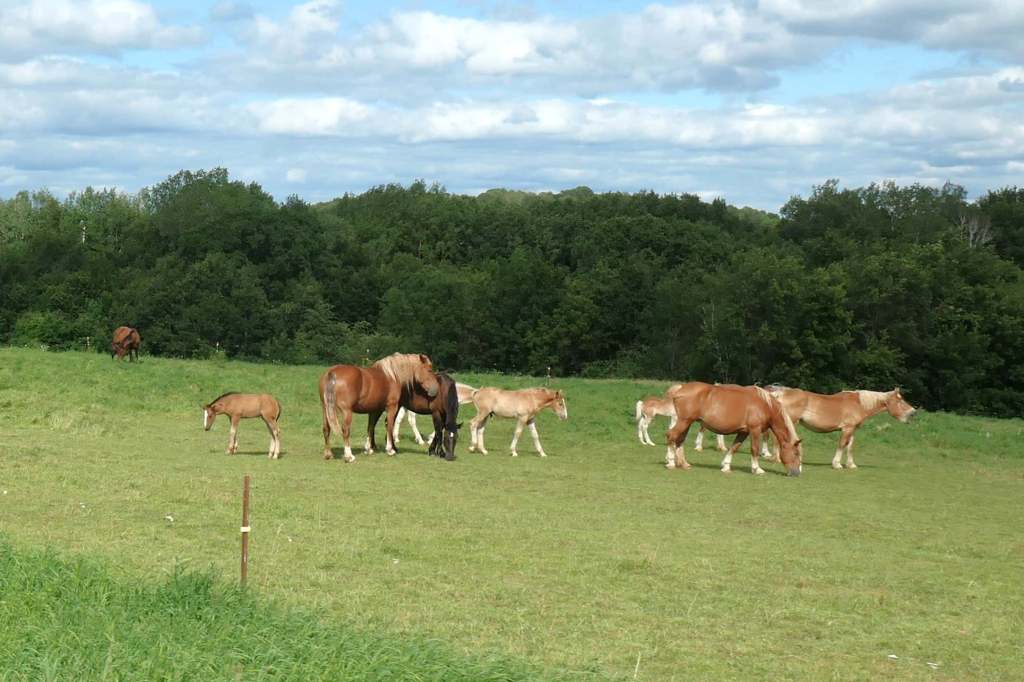
During that pretty drive on a beautiful Saturday, we saw at least a couple hundred, as Todd’s daughter used to call them, “mikerlators!”
To cap things off, on one of the many “scenic over-kills,” we finally managed to catch…

In the world of the traveling Olsens, check off two more states!