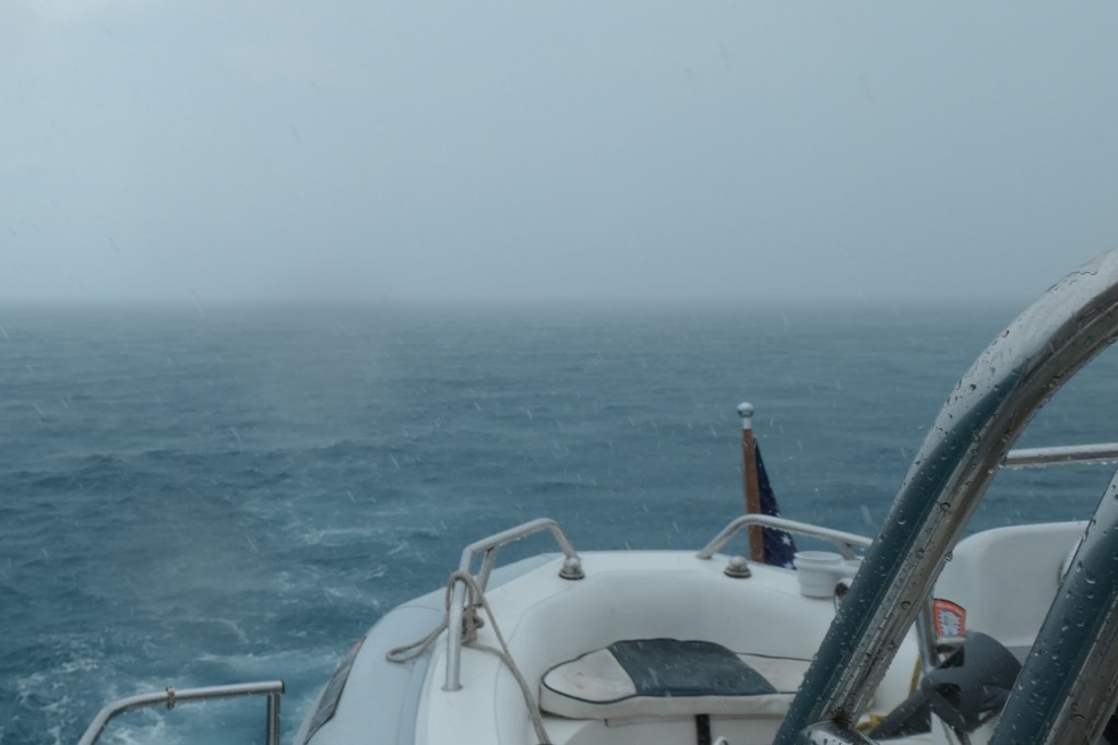
Continuing our mission northwest, SaltyMare and Finish Grade left New Bight Friday under grey, cloudy skies for a 27-nautical mile cruise to Pompey Rocks, midway up Cat Island. We kept an eye on squalls in the distance, even altering course and speed to avoid them, but in the end, dodging wasn’t enough. We entered a squall and temporarily lost sight of each other. The upside? Free boat rinse – yeah!
We spent the night rocking in the swell at Pompey Rocks, but that’s okay because the “weather window” is open for an early departure Saturday for the crossing from Cat Island across a bit of the North Atlantic around the “whale tail” of Eleuthera.

The crossing to Eleuthera was gloomy, the skies remained overcast, and we could see showers in the distance the whole way.
But, a good passage!
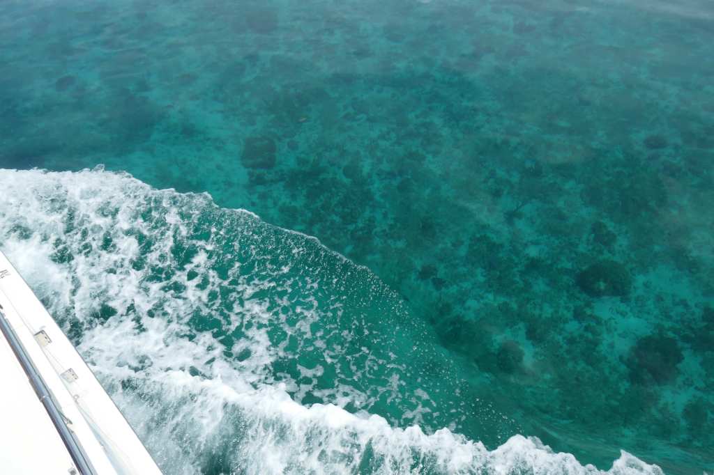
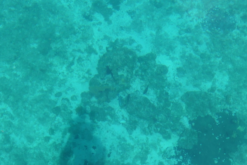
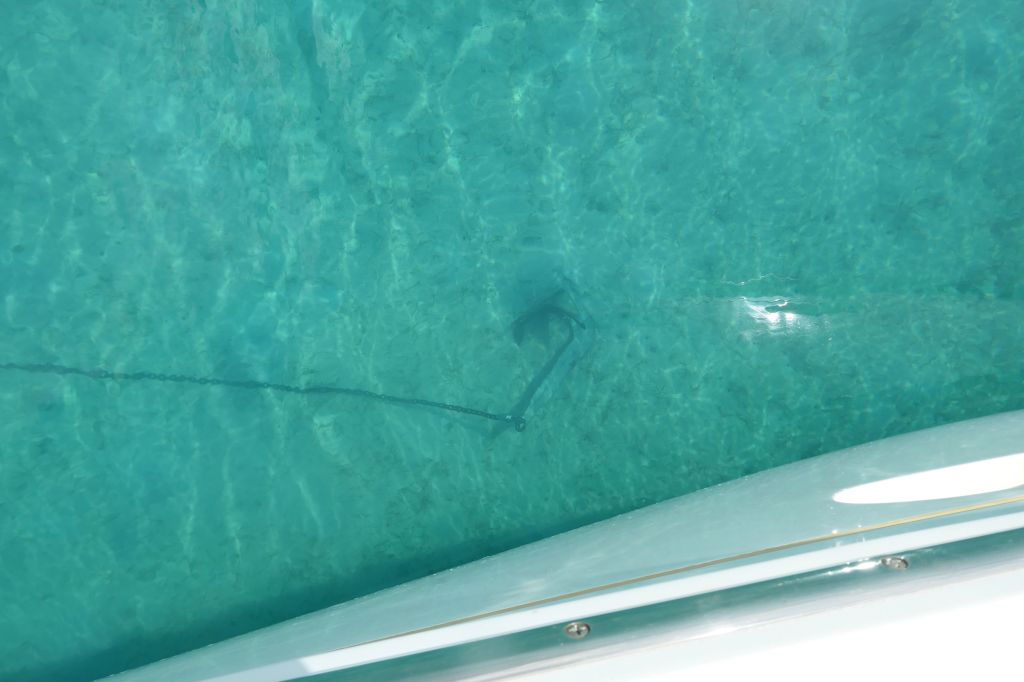
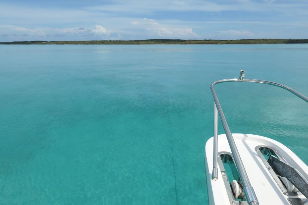
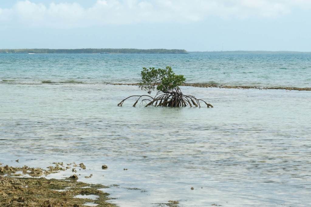
After reaching Eleuthera and swinging around the southern “tail” end of the island, we entered the Davis Channel. Suddenly, all eyes were glued to the flat water and the delightful scene 18 feet below. Nothing can explain the sensation of seemingly moving in air, magically suspended! We could completely see the bottom! It was almost as good as snorkeling, except we were going too fast. Susie and Lynn wanted to drop the anchors, jump in and just float!
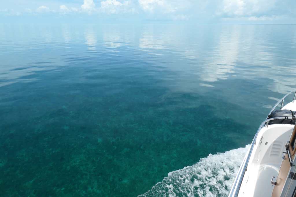
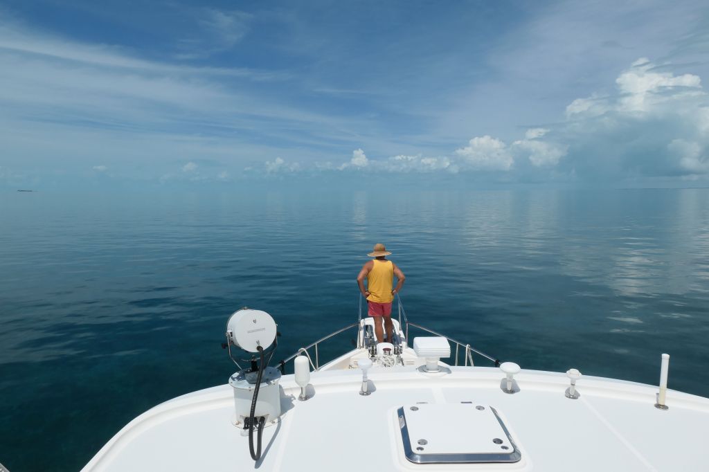
After the captain returned to the bridge, the photographer took her turn on the bow, excitedly snapping photos.
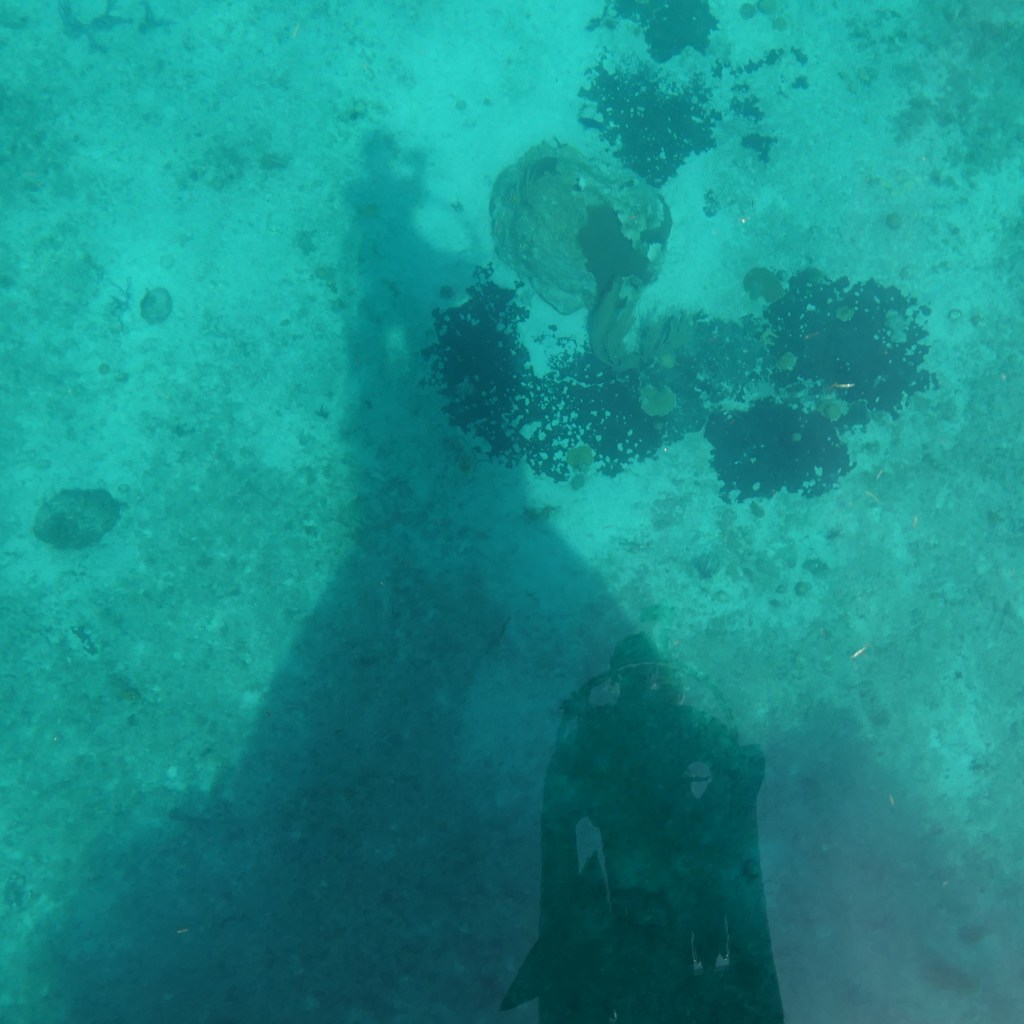
The water was so calm that in the photo below, you can see not only the shadow of Susie holding the camera, but the reflection of her face (lower in the photo) looking over the bow pulpit rail.
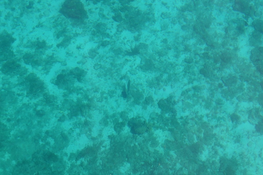
Here are a few in which she actually captured fish! (Well, someone on this boat has to catch fish, Honey. Hehe)

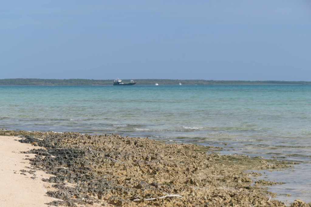
When we arrived at our planned spot to anchor, the wind and water were still amazingly calm.
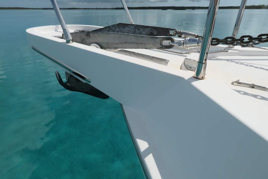
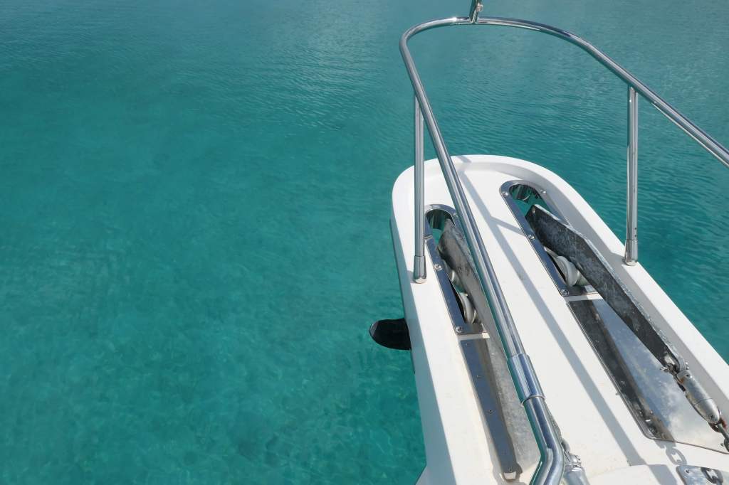
SOP on the SaltyMare has Todd positioning the boat into the wind and Susie on the bow operating the windlass and doing the birddog pointing thing so he knows the direction of the anchor chain and can adjust the boat to pull back and “set” the anchor, which takes less than a minute after the anchor and initial chain outlay hit bottom.
After the drop but before the pull back to set it, “Susie, where’s the anchor?” (She is typically pointing by now.) Umm….Hang on. It was here a second ago, but it’s no longer out in front of us.
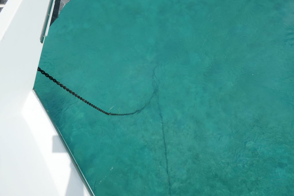
There was no wind, but there was enough current to float us forward in just a few seconds.
No worries. A little use of thrusters, some reverse, gentle throttle, and we were hooked.
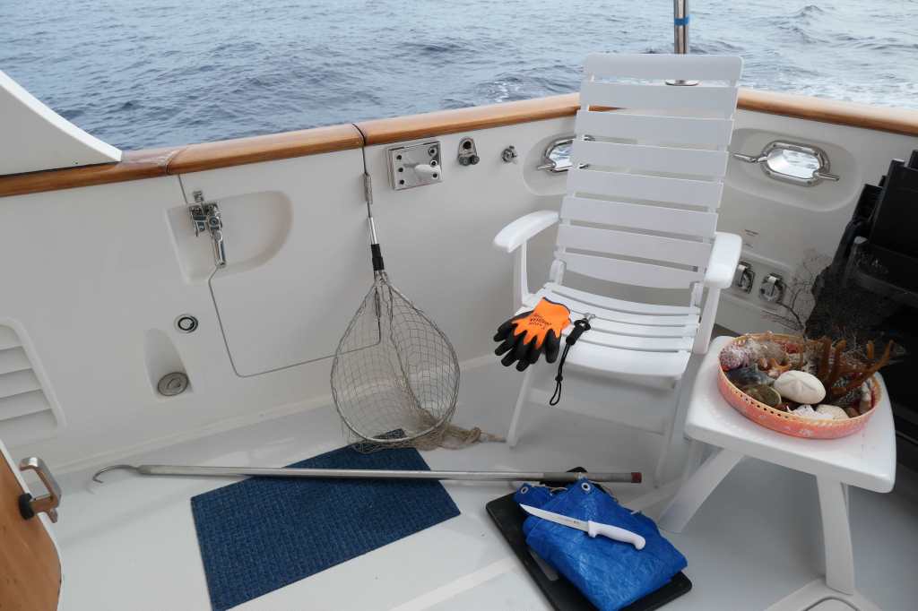
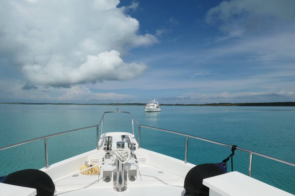
While we are doing the anchoring bit on SaltyMare, Finish Grade is usually nearby doing the same. On this particular day, we looked up from setting the anchor bridle (the final step after setting the anchor) to find…we were pointed at each other. Just how the heck did that happen?? We both started out bow into the wind. Well, there was so little wind that our girls (the boats, not the crew) were pushed around by the swirling current. An oddity that made us all laugh.
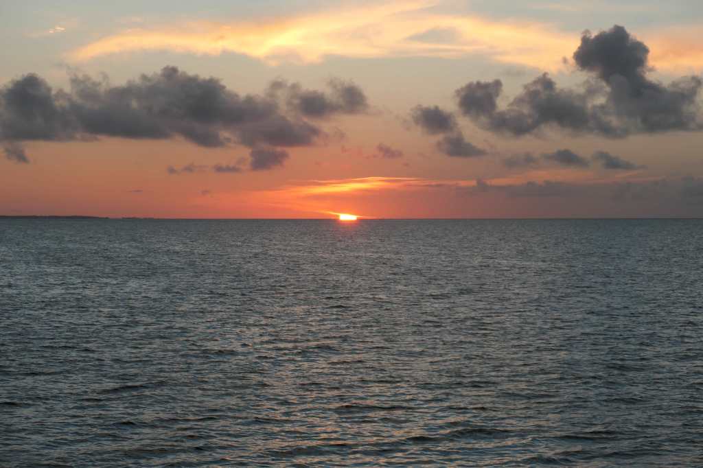
The grey clouds followed all the way through to sunset, followed by showers overnight.
The next day, there were still dark storm clouds overhead and thunder well into the afternoon. Finally, in the late afternoon, we decided to risk it and head out for some beach combing.
After a couple of hours exploring, we decided not to press our luck with the rain any longer and headed home to stow the dinghy in preparation for departing the next day. And then, lo and behold,
…Rainbows”!
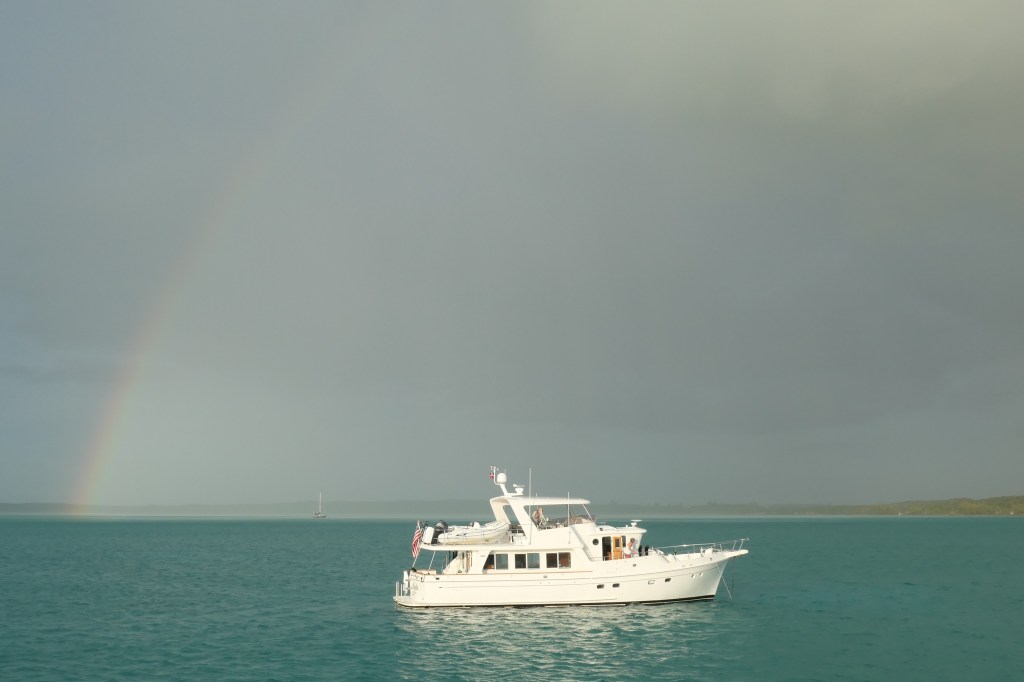
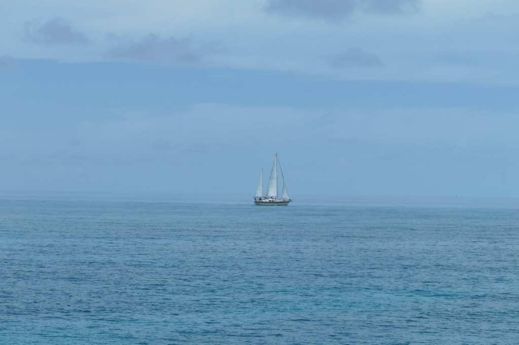
Finish Grade highlighted by the setting sun and lined up with a rainbow. Note the sailboat in the distance is IN the rain. At this point, we were not getting wet, but we could clearly see there was a downpour headed our way. The funny thing is this time the rain never got us. 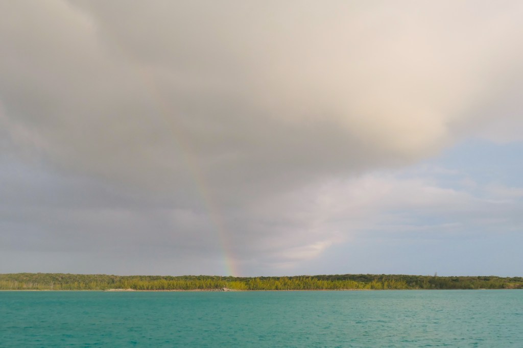
The other end of the rainbow, over South Rock Sound. Perhaps we could reach the pot of gold!
What better way to end a period of rainy days than with a beautiful rainbow?!
Introducing, “Mission Possible” updates:
We are on a mission to get Susie to Marsh Harbour for a May 2 flight to Virginia, where she is needed by family.
Galliot Cay in the Exumas was our furthest point south on this trip, and the point from which we began the approximate 290 nautical mile (333 statue or “regular” miles) journey north for Susie’s date with Delta (pink star below). 300 miles doesn’t sound like that far, but at 7.5 miles an hour it’s a bit. Figuring in weather is also a big part of the mix. Certain legs of the journey DEMAND proper weather and sea state.
So far, so good! 137 miles completed (path in red). Yeah!
For those keeping up at home, we will provide Mission Updates on the next few posts to relay our status.
See you soon, Mom!
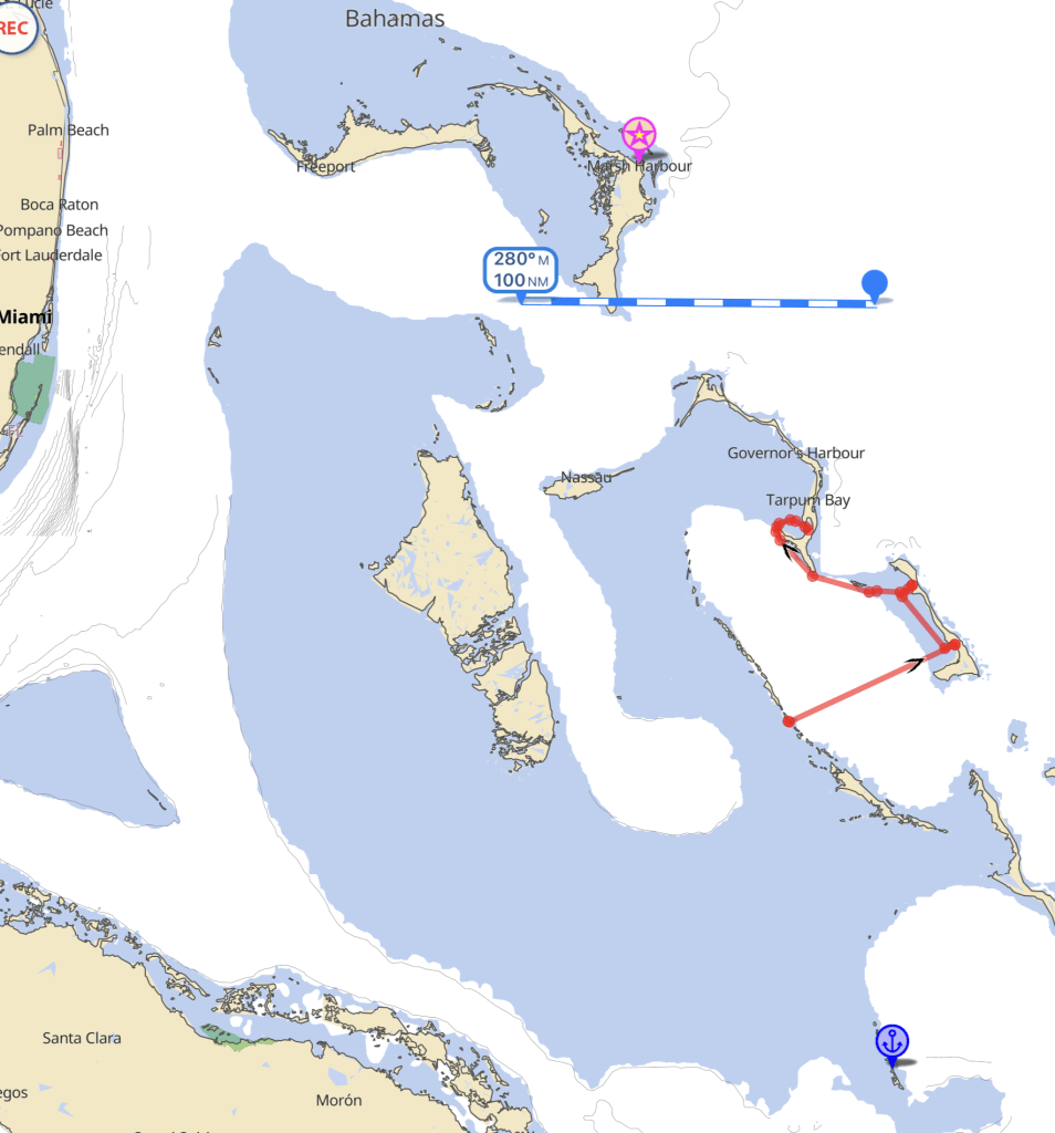
P.S. The little anchor near the bottom is our “southern most” point last year. Hog Cay, Ragged Islands.

So glad to see you guys having a better go of things over last year’s chaos. Enjoy all that blue.
LikeLike
Thank you! It’s wonderful to have put that behind us and rediscovered the Joy really is in the Journey (so glad we didn’t give up & sell the boat!). We are seeing so many amazing things! Saturday or Sunday (weather dependent) we will repeat the long crossing (8-9 hours) from Eleuthera to the Abacos, which is the fateful Friday the 13th crossing we made last May that ended so badly. I can’t wait to triumphantly turn into that cut, safe and sound on our new engine. I believe we’ll celebrate with a perfectly grilled steak before Todd blows the conch horn at sunset. 🙂
LikeLike