The quick week in Canada really made us want to stay longer, but preplanning, i.e. prebooked lodging, dictated otherwise. “Nope. Time to be a Yooper!” We’d driven right through the skinny part of the U.P. to get to the Canadian side of The Soo, but now we headed back to actually look around.
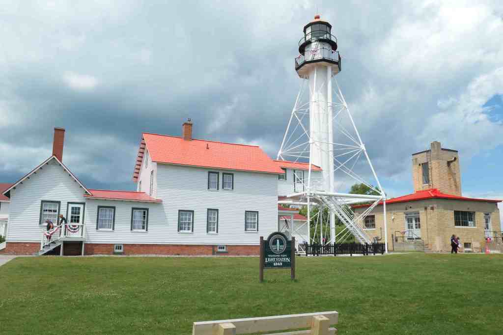
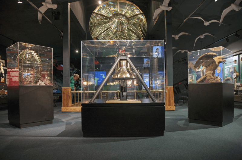
First stop on the way to the cabin? The famous Whitefish Point. For those that may recall the Edmund Fitzgerald, “… they’d have made Whitefish Bay, if they’d put fifteen more miles behind her.” Some of us even remember the news report of the loss in 1975. (Showing someone’s age there, Babe.) Well, this is the place. The incredible Great Lakes Shipwreck Museum established a memorial utilizing the bell retrieved from the Edmund Fitzgerald.
Among the museum exhibits is the biggest Fresnel Lens we’ve ever seen. So much info about other wrecks and information about the more than 6,000 to 25,000 shipwrecks on the Great Lakes – those that have been found. During that crazy period of the late 1870s into the 1930s, vessels seemed not to care about any sort of navigation rules. Size and speed were what mattered (yikes)! With more than 300 wrecks, Whitefish Point came to be called the graveyard of Lake Superior.
We drove away talking about boat life without all the modern tools we’d had, like electronic charting with GPS positioning, or accurate powerful radar that helps see through storms, or heck, multiple days’ worth of weather forecasting (at least a guess! 😉 ). What a life it would have been!
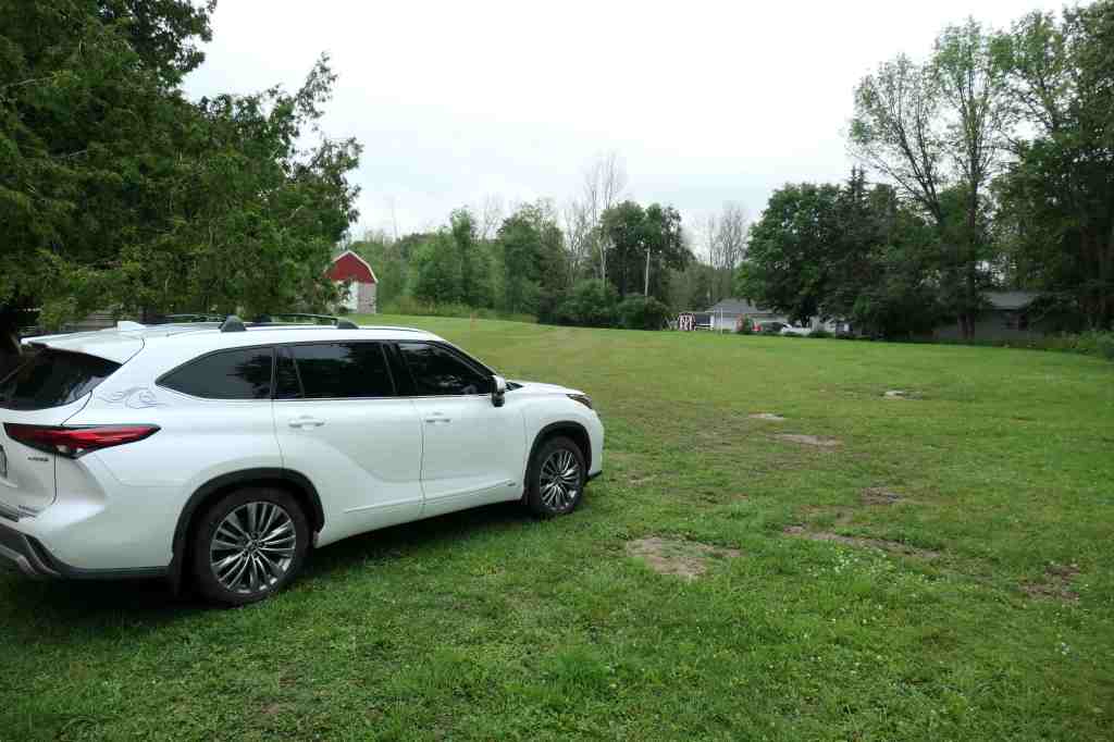
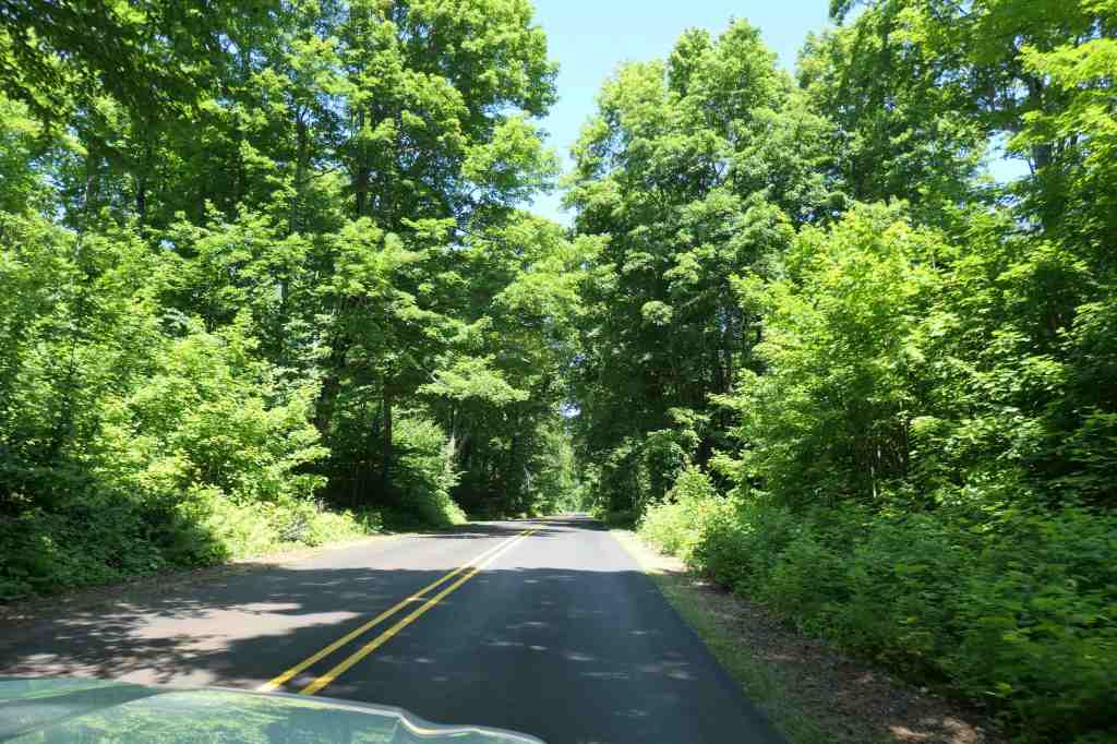
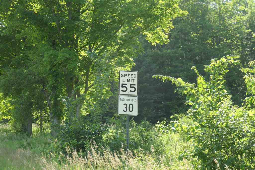
While driving we realized that the U.P. is quite different from the mitten of Michigan. No wonder they “stole” it from Wisconsin. Ha! It’s much more rugged and remote, and we soon learned our cellphones were useless. Thank goodness Pearl has SatNav (just like mentioned above)! As much as we love driving near the water, cruising through the country roads of the U.P. was filled with a lot of trees, and some of the roads are paved. But not the “driveway” to our tiny cabin on a little lake. Nothing like the views with water involved! (Sensing a trend there?)

Since we were going to be on the Upper Peninsula for less than a week, it was time for more exploring. Let’s go, Honey! Where to next?
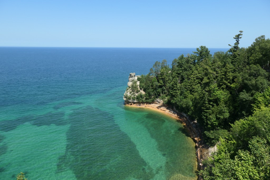
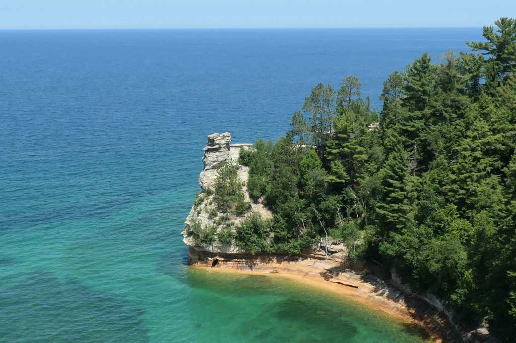
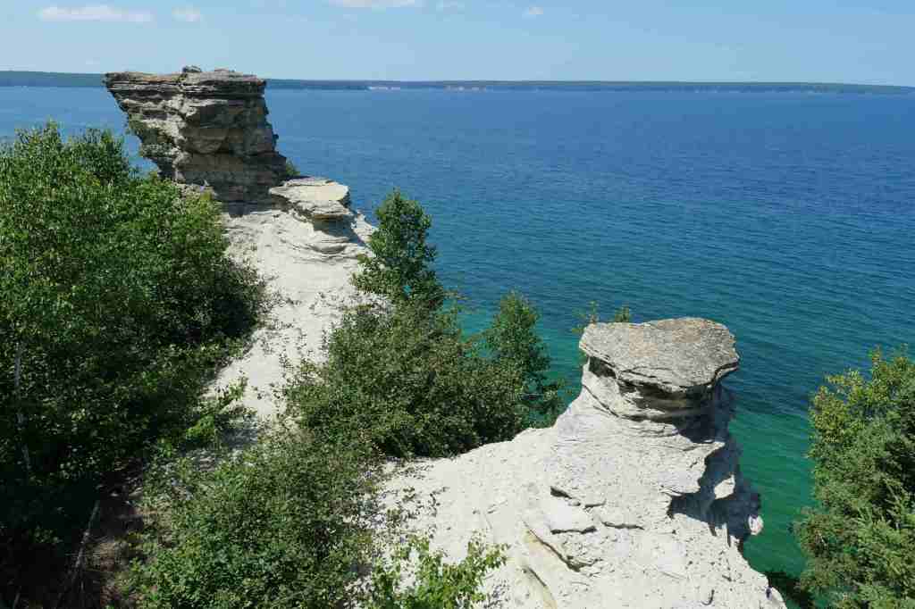
Pictured Rocks National Lakeshore
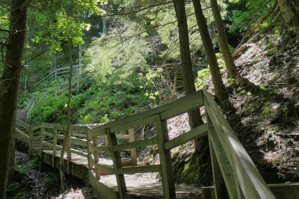
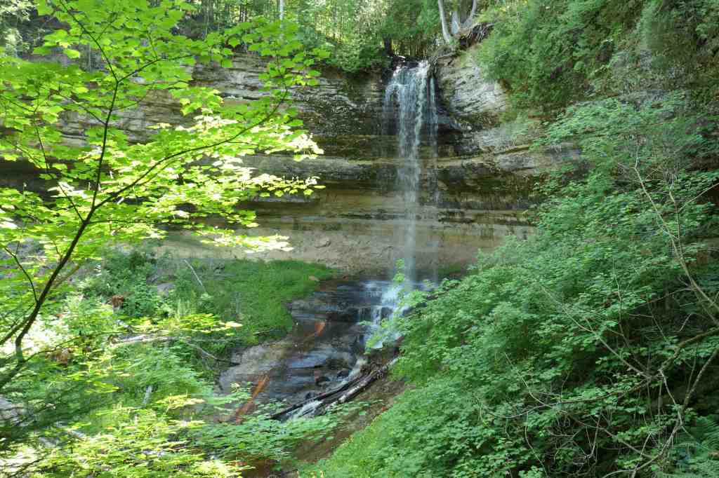
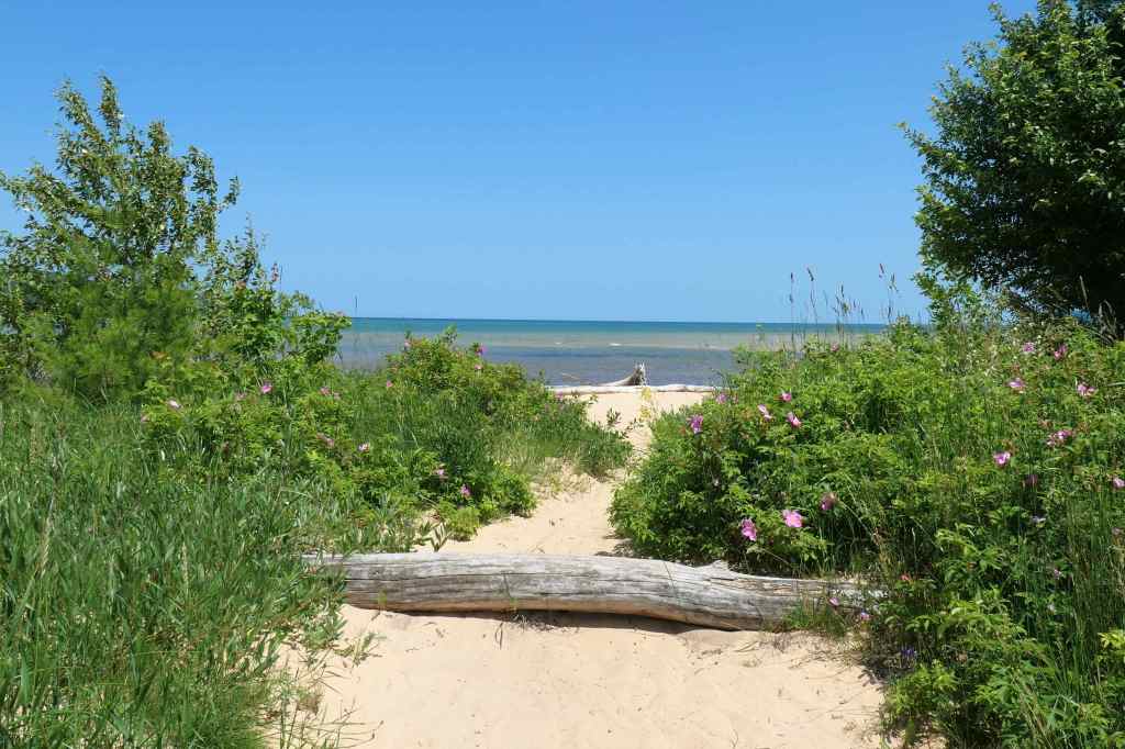
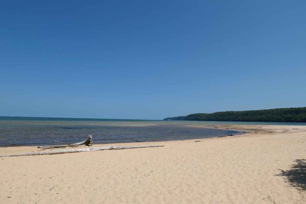
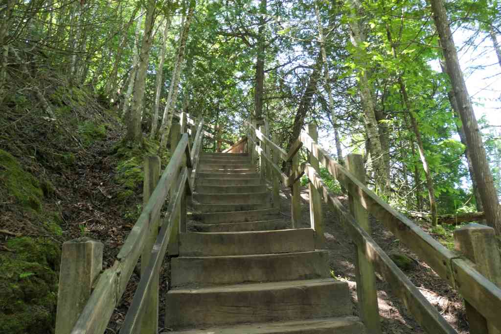
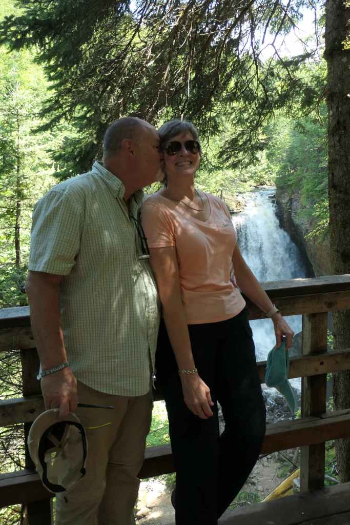
Todd definitely butchered the name of this picturesque shoreline at least 20 times, insisting on “painted rocks” instead. Oh, his poor brain. Anyway, first stop was the Visitor Center to stamp our National Park Passport Book, snag a map, and formulate a plan for this rambling park. Got it! We begin with the falls right here, taking the trail along the canyon wall leading to stairs on either side of the falls…of course we did both sides (up the stairs down the stairs…). Up next a stop at a lovely beach (that’s right a beach), then multiple stops as the road goes through the forest and back to the coastline and its stunning views. 40 miles to the Pictured Rocks and 40 miles back! Hard to put the beauty of the U.P. into words!
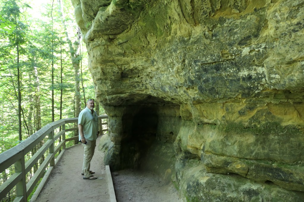

At our stop near Miner’s Falls, we met and took to the trail with “Lincoln, from California.” Traveling to visit family in Michigan, young Lincoln was well ahead of the pack, as they’d stopped for some photos. When Todd jokingly told him we’d beat him to the top, Lincoln tossed up an impish grin and bounded ahead. Then he waited for us to catch up before repeating the process. Wise guy. Oh, Alan, we missed our little Florida guide!

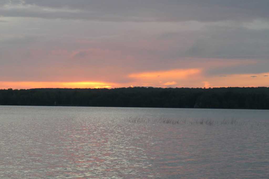
After that scenic day of exploring, we returned to the cabin to grill some grub, rest up, and talk about the next day.
Glad we didn’t have to stick to snow mobile speed!

such nice views 🙂
LikeLike
Picture perfect indeed! We are looking forward to seeing how the view changes as we make our way across the country. Just wish we could bring everyone along with us. Oh, wait, that’s the purpose of the blog! 😉
LikeLike