If you didn’t know, Lake Superior, is the largest freshwater lake in the world. Well, to be accurate, that’s by surface area; it’s the third largest by volume. Still, it holds an estimated 10% of the earth’s fresh water!
Officially established in the 1960’s (not the lake 😉 ), the Lake Superior Circle Tour is a 1300-mile drive through one Canadian Province (Ontario) and three American states (Minnesota, Wisconsin and Michigan). Geez, that’s one big lake!
The tour includes both the American and Canadian sides of Sault Ste. Marie, and since, we’re on the Canadian side, what the heck, shouldn’t we check out a bit of this side?
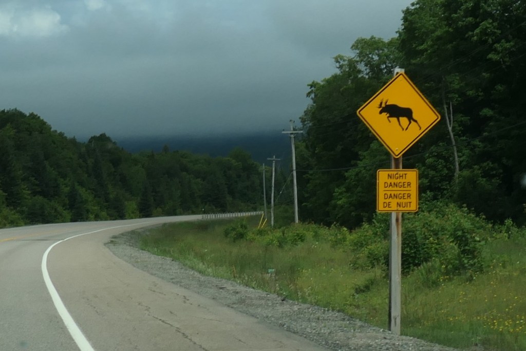
Angry-looking moose, eh?
Appreciate the heads up! We’ll definitely keep our eyes peeled.
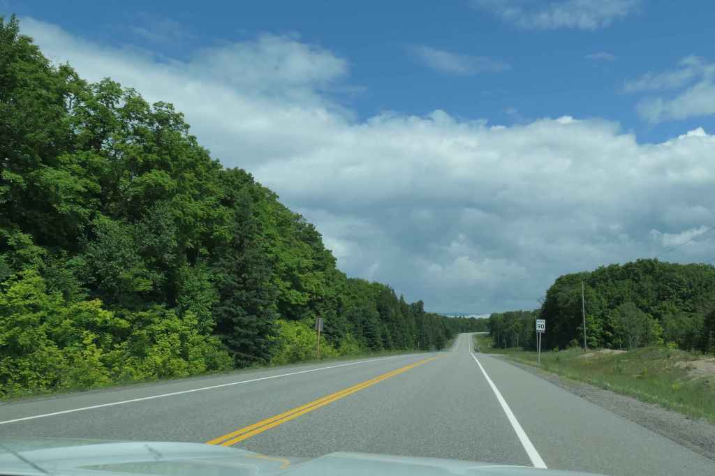
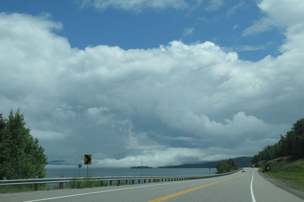
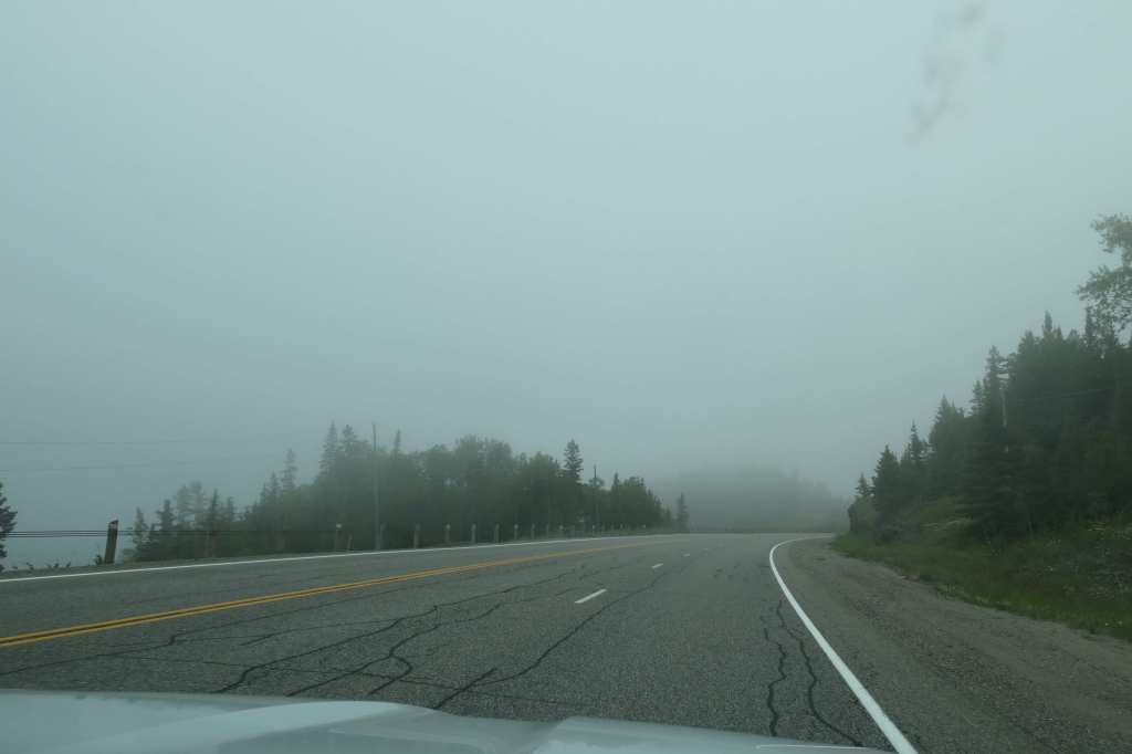
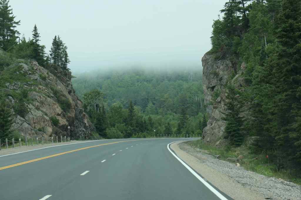
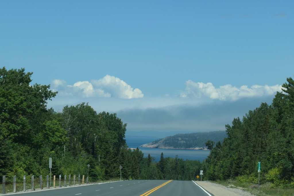
Our day began under picturesque blue skiesThe clouds then descended right to the lake’s surface!We drove through the clouds while they spit a bitAnd then they slowly lifted againTo reveal more expansive views
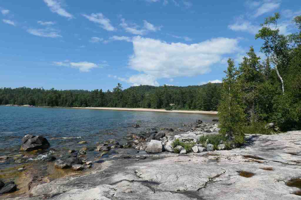
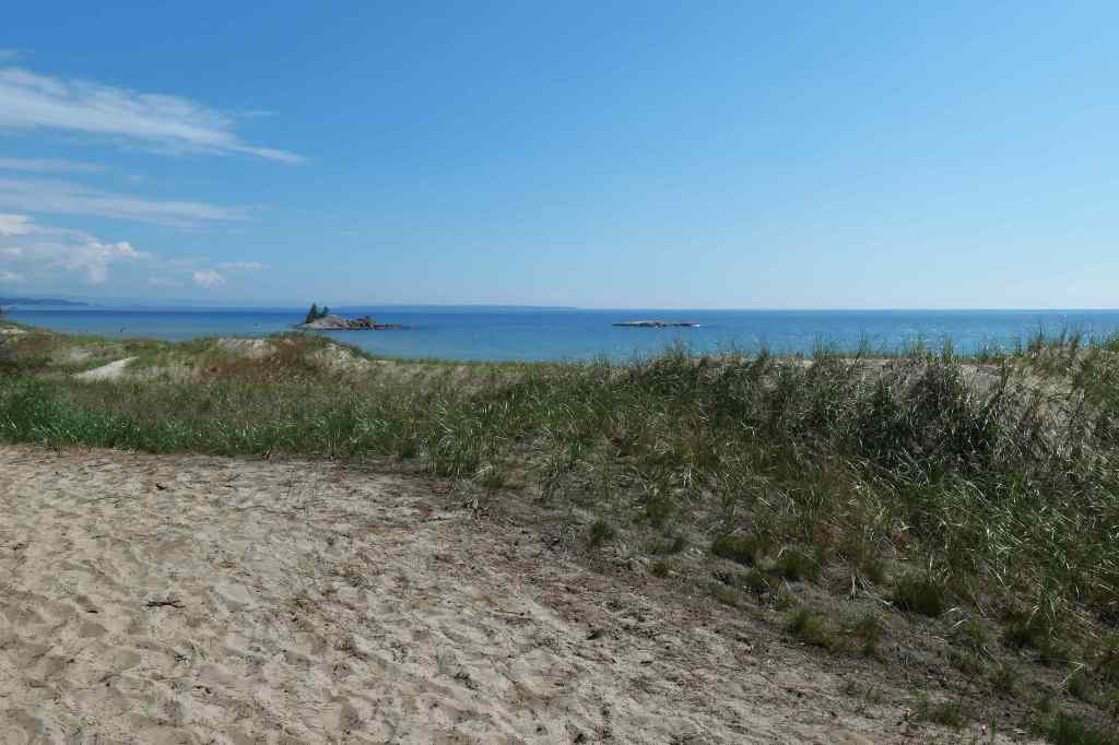
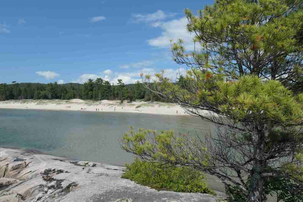
The drive was beautiful; there’s nothing like the views out toward the blue water. It wasn’t long before we came to Pancake Bay Provincial Park – notice the word bay. Think very much south facing and somewhat sheltered. And to our surprise, sandy! Although all these lakes have rocks right along the water’s edge.
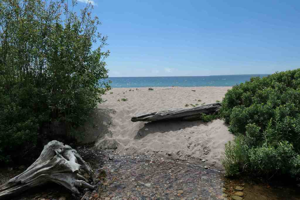
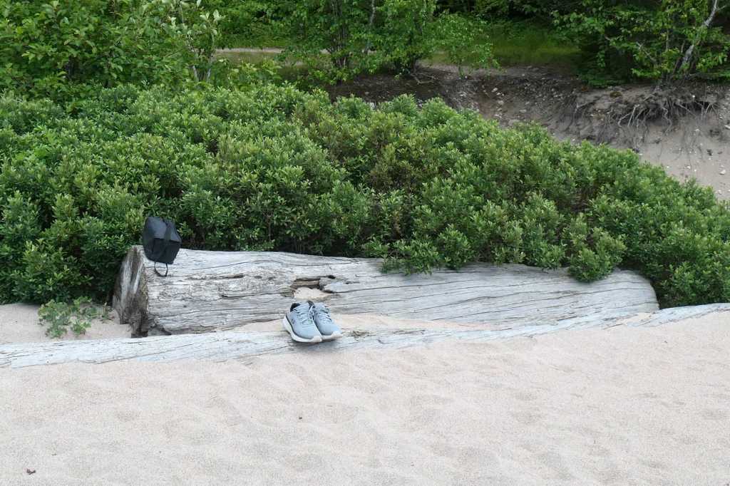
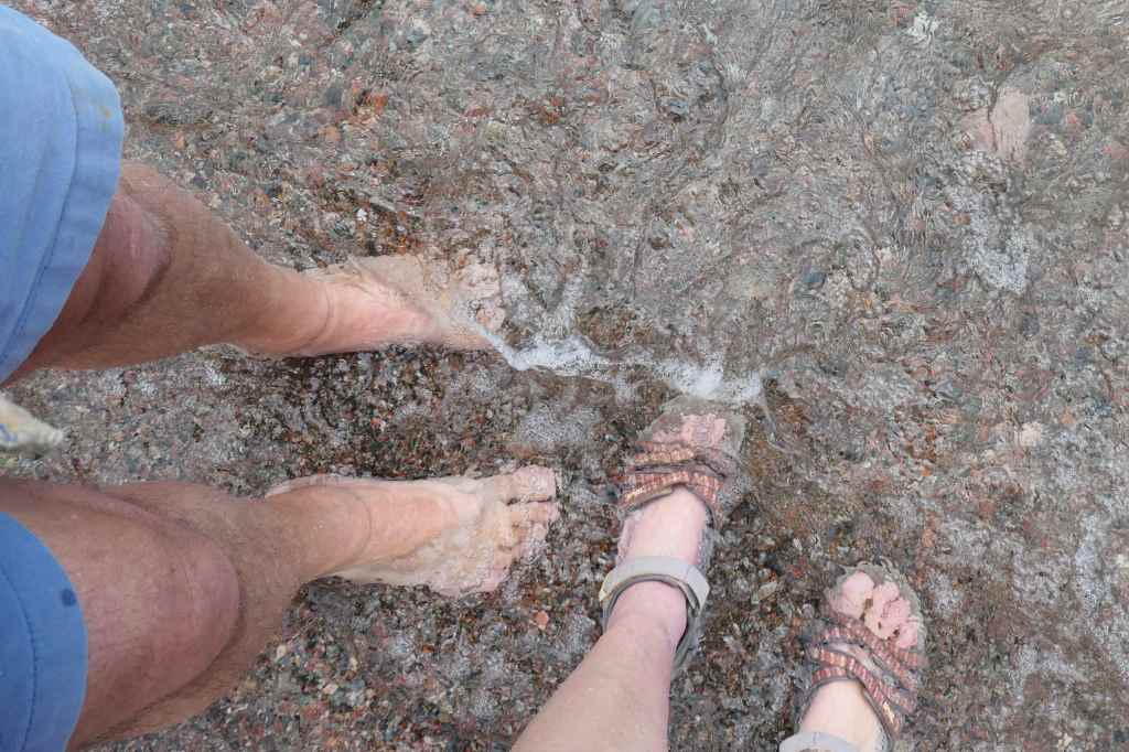
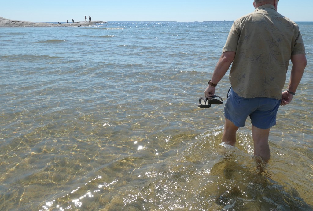
Dune access to the lakeshoreAfter our peaceful picnic lunch,a short stroll to the water’s edge, and…our feet are in Lake Superior! A bit warmer than we thought!
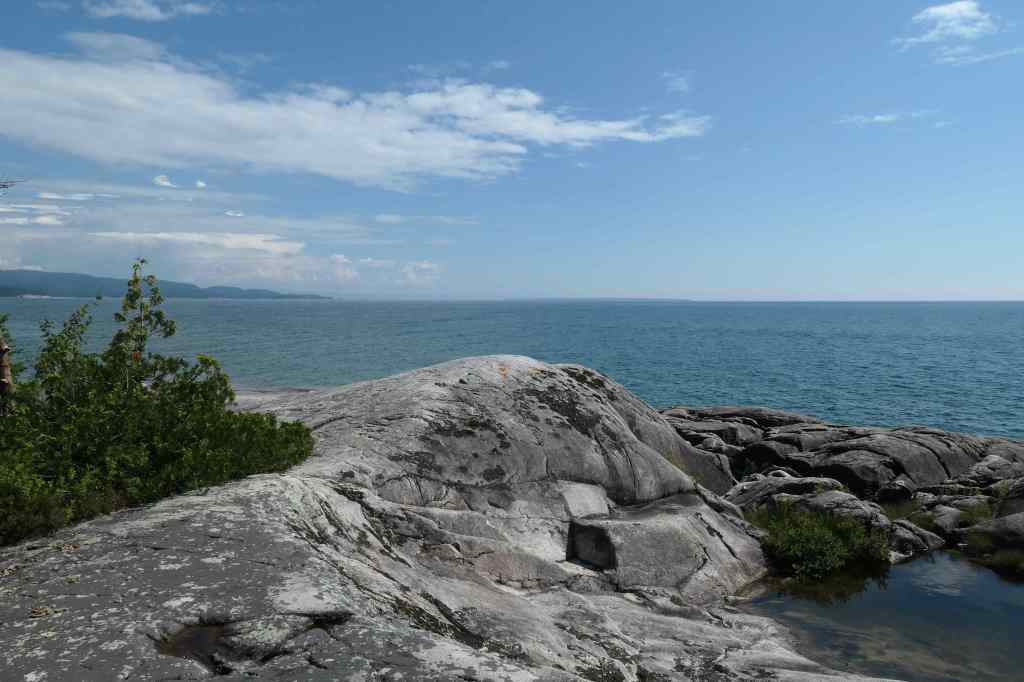
After the lunch stop, we drove a bit further west to Katherine Cove in search of an island referred to as the “Bathtub!”
Katherine CoveBathtub Island? No, Hon, while that looks like a tub it’s not an island.Okay, you win. Sheesh, you’d think he’s never been right before 😉
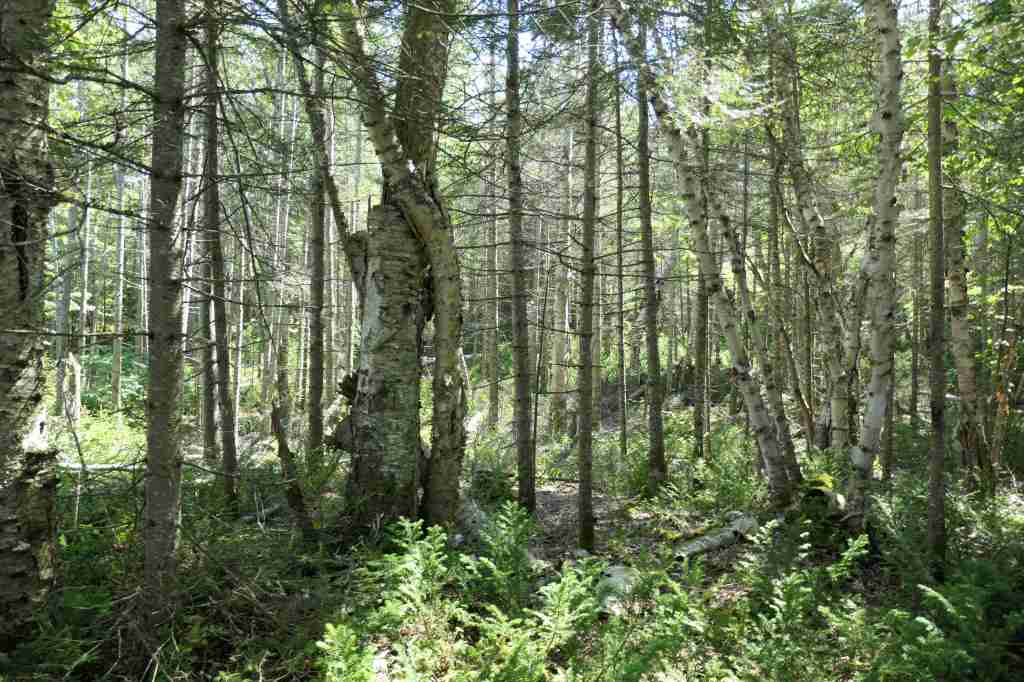
While trying to determine where be this Bathtub Island – and no it wasn’t one those we could see here – we met a wonderful Indian family who were doing the same! Looking for that rascal. So, collectively, we walked back to the east “around the corner” and found a path through the woods that appeared promising. Promising? Thought we were looking for an island…
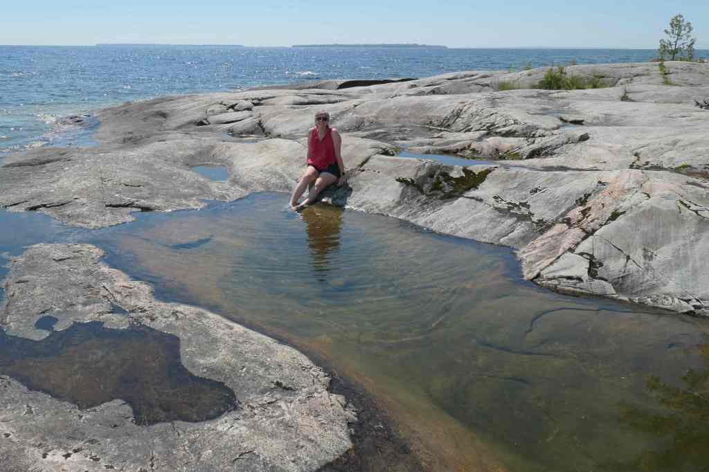
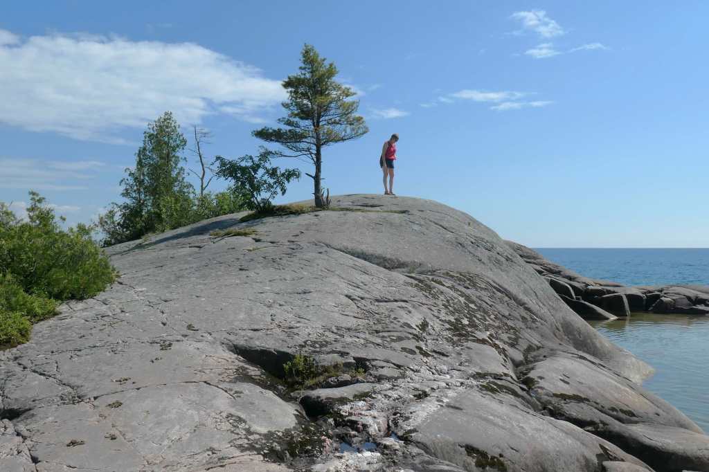
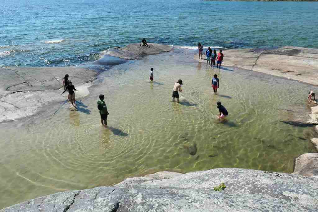
Dodged the mosquitoes on the sandy path through the woodsThere it is! Bathtub Island! On the left!Only one way over there. Oooh, that water’s not warm!Great views from the high ground Looking down into the sun-warmed natural “tub” Back across to the shorelineWe have to keep reminding ourselves this is a LAKE, not an oceanNot wanting to be out here after dark, we headed back to Sault Ste. Marie.Seeing some of these might be funNot so much this guy. Extra eye out as we return thru the clouds!
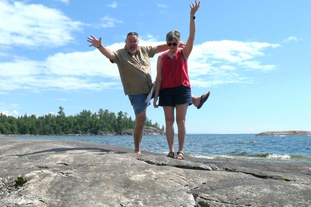
We had a great time visiting our northern neighbors and look forward to spending more time in Canada during our upcoming travels.
But you know we couldn’t wrap this up without throwing in an “eh,” right? 🙂
By the way, Todd says Superior tastes like … err.. water.
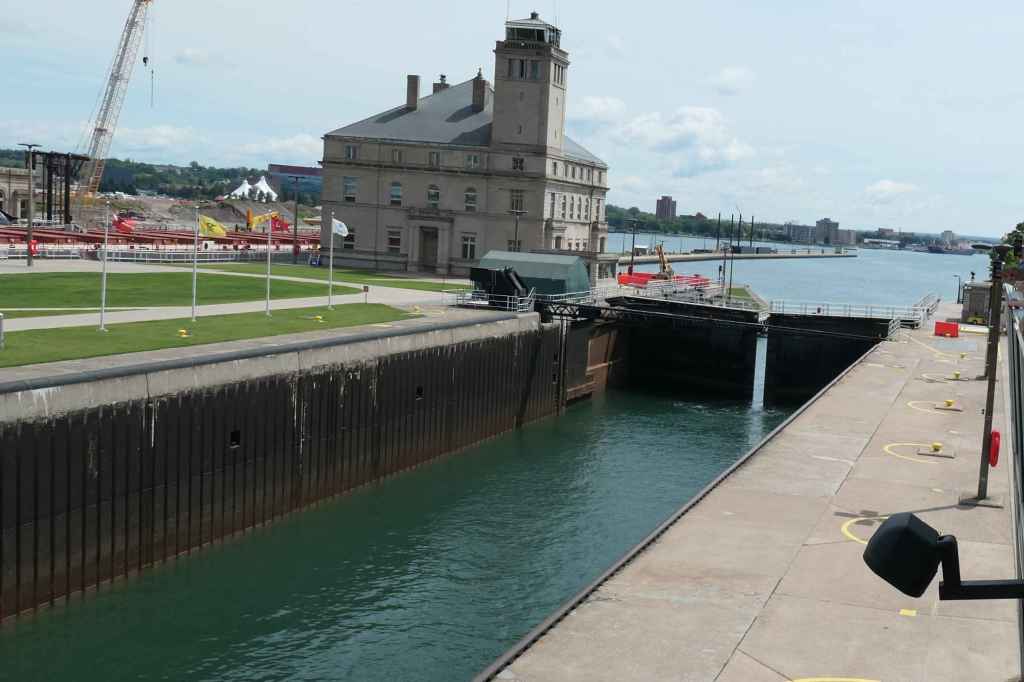
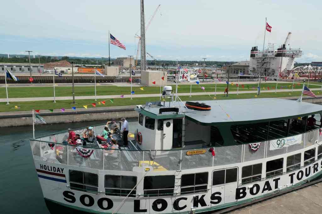
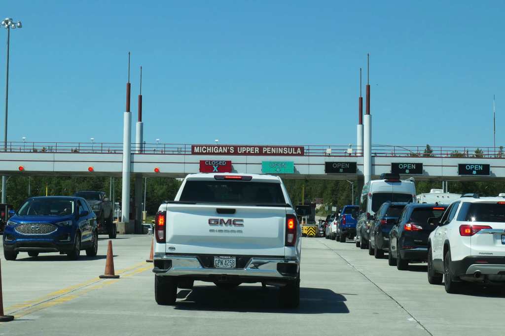
Since we’d now seen the Canadian Sault Ste. Marie Canal and Lock, we were ready to give equal time to our team. On the U.S. side of those rapids, they/we have a set of locks called the Soo Locks. Locals call it, even shorter, The Soo.
Nothing like crossing back to the good ol’ United States! Hey, how about another open lane! Ha!
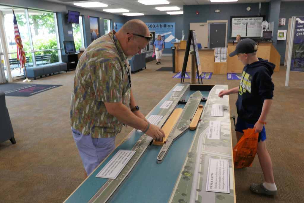
A few years ago, we really thought we would experience the Soo Locks aboard the SaltyMare. Oh well, no boat this time, but we were aboard the mighty Pearl (haha!) as she took us to the Visitor Center. 😉
I-75! Heck, we could drive straight to the bottom of Florida!Boys learning. 🙂 My lock is bigger than yours!
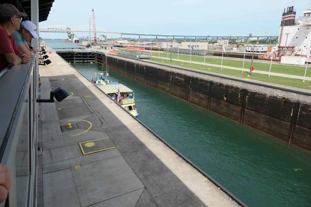
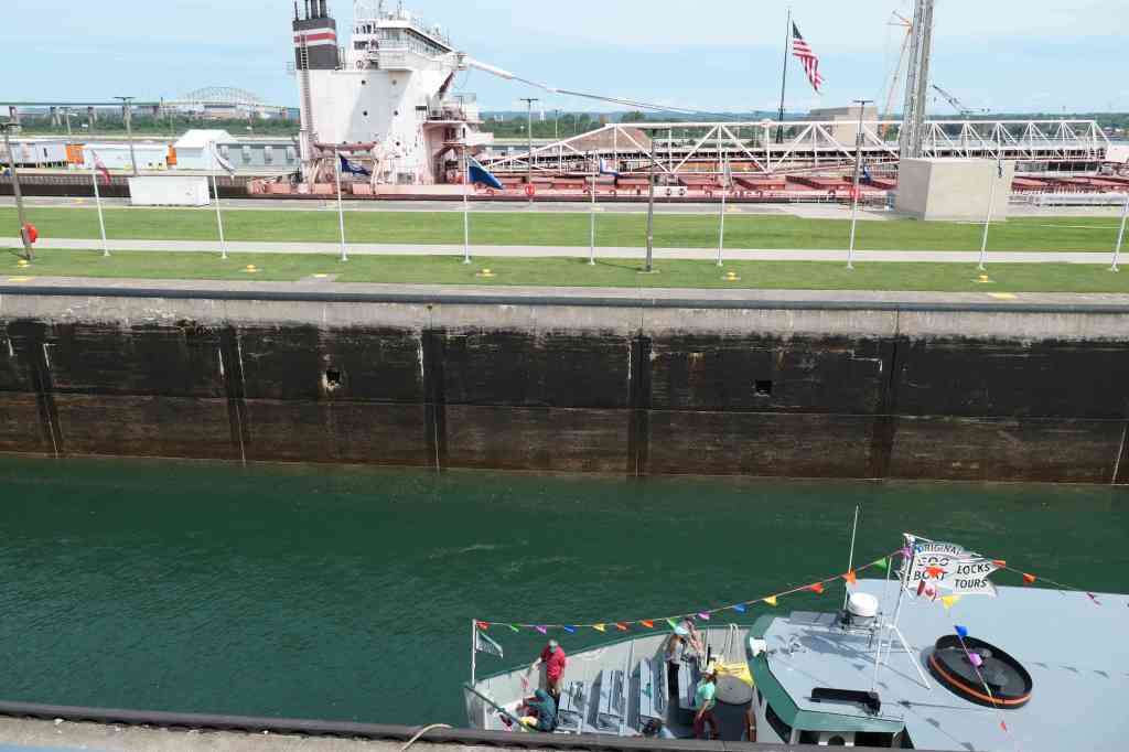
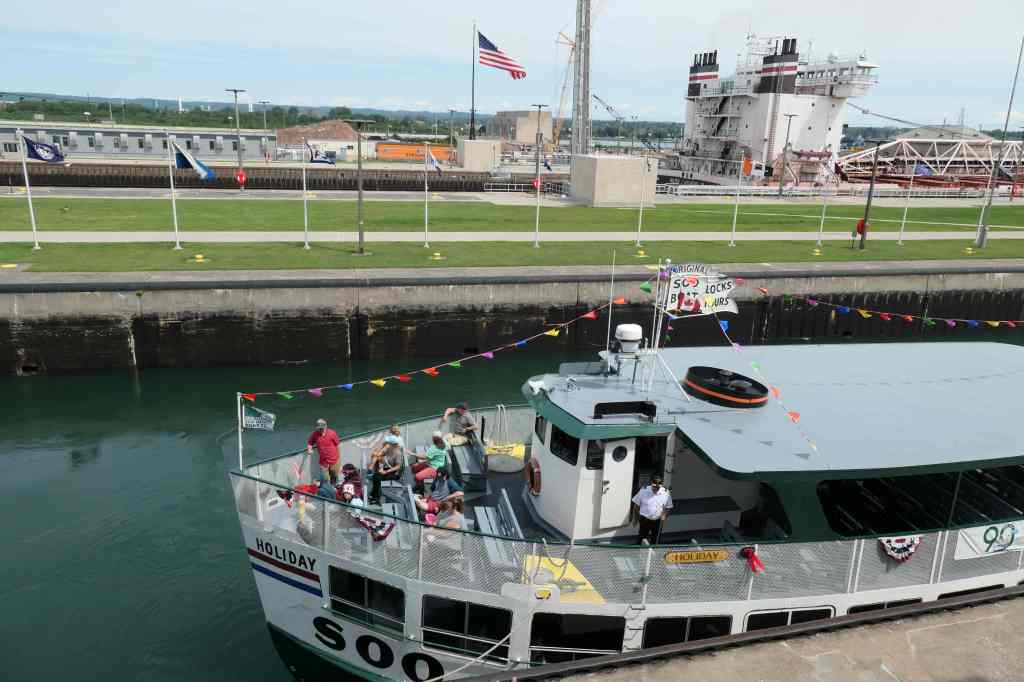
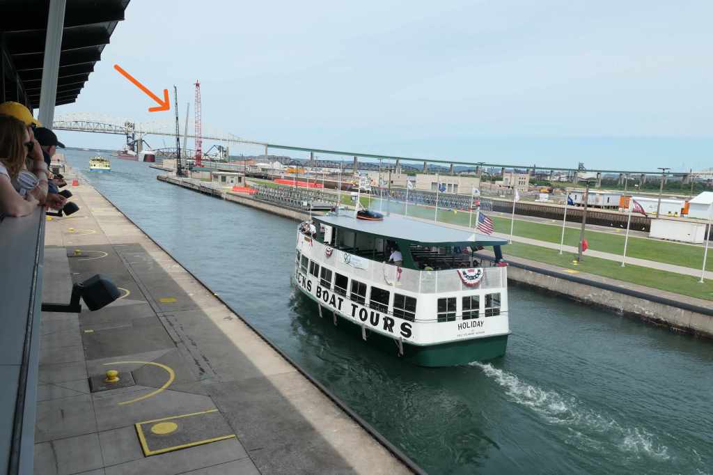
After checking out the exhibits, we went to the Observation Platform to watch the real thing. As you could tell from the model, the Soo Locks are actually two locks that operate independently. The really BIG one is the Poe Lock, large enough to carry anything that can sail on the Great Lakes. The “small” one is the MacArthur Lock, the biggest lock we’ve ever seen. It’s neat that any boat goes in either lock if it can fit and they are ready for you. (The ‘Mare could have ended up going through with a freighter!) The Poe Lock is so big it even dwarfs the freighter that was locking through. It’s mostly their large pilot house that was visible as we tracked the freighter’s progress by watching its proximity to the U.S. flag.
11:55 am: Gates are already closed at one end of the smaller lock11:56 am: Now closing the gates at the other end11:57 am: Tour boat (foreground) & freighter across the way
Before closing the gates, they positioned and secured the waiting boats. At this time, there were just three – two in the MacArthur Lock and the freighter in the Poe Lock. Notice there’s plenty of room. The tour boat in the photos is 65″ long and 25′ wide, not that much bigger than the SaltyMare!
12:02 pm: The water’s rising12:05 pm: And rising12:10 pm: Gates are opened & the tour boats head upriver12:13 pm: The downbound freighter has cleared the other lock
The Soo Locks still work much as they did 200 years ago. By opening and closing valves, gravity is utilized to move more than 22 million gallons of water through the floor of the lock. The floor! Yep, that’s how boats are raised or lowered approximately 21 feet in order to transit the St. Mary’s River. Operating 24 hours a day seven days a week, crews complete more than 7,000 lockages during the 42-week navigation season, allowing vessels of all sizes to quickly navigate between Lake Superior and Lake Huron. Could have sat there all day watching but on we go!
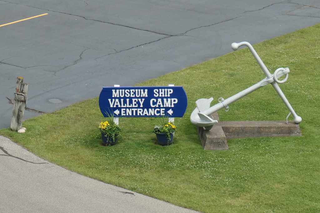
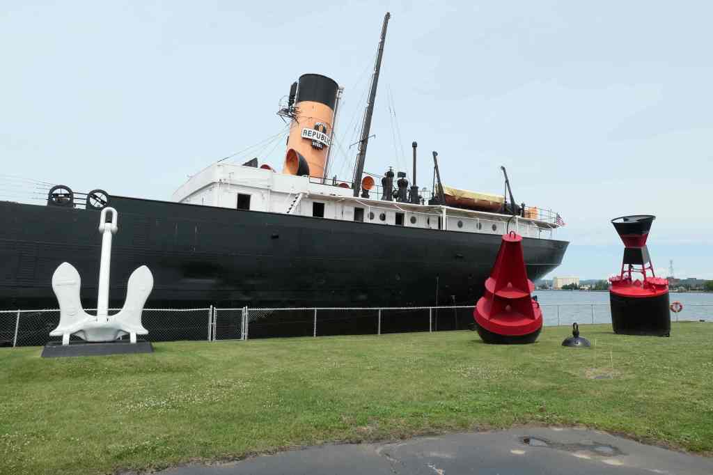
In keeping with the nautical-centered day, our next stop was the Museum Ship Valley Camp, touted as the largest Great Lakes maritime museum.
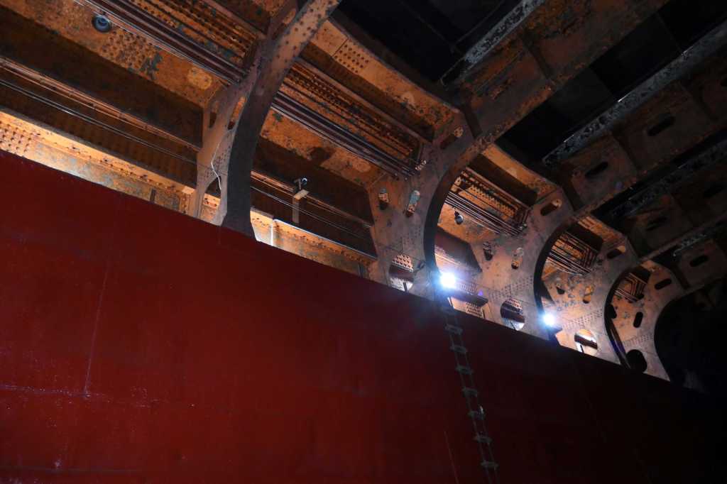
It is indeed a really L-A-R-G-E and unique museum, inside an actual freighter built in 1917. During her years of service, she changed hands a few times and was eventually renamed VALLEY CAMP in honor of the Valley Camp Coal Company. From 1917 until her final voyage in 1966, the 11,500-ton ship logged some 3 million miles and carried in excess of 16 million tons of cargo.
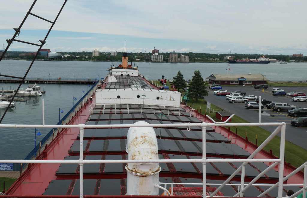
That’s 550′ from bow… to stern
Arriving at Sault Ste. Marie in 1968, her massive cargo hold now houses a 20,000 square foot museum with more than 100 exhibits. As you can imagine, we were aboard for hours! The interior went from light to dark, and so did our pictures.
Looking down into the original engine room areaLooking up inside the cargo hold areaOkay, first mate,dream on!
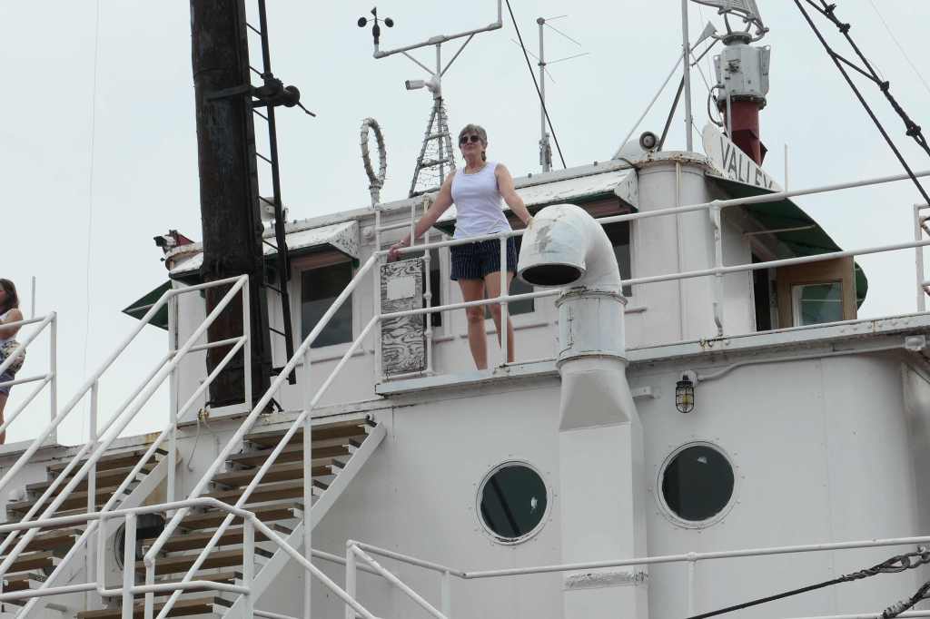
After checking out the inside exhibits, we wandered topside, taking a peek at the pilothouse and various crew quarters, while we thought about being out on the mighty lakes. Of course, in our imaginations, it was a lovely day to be cruising!
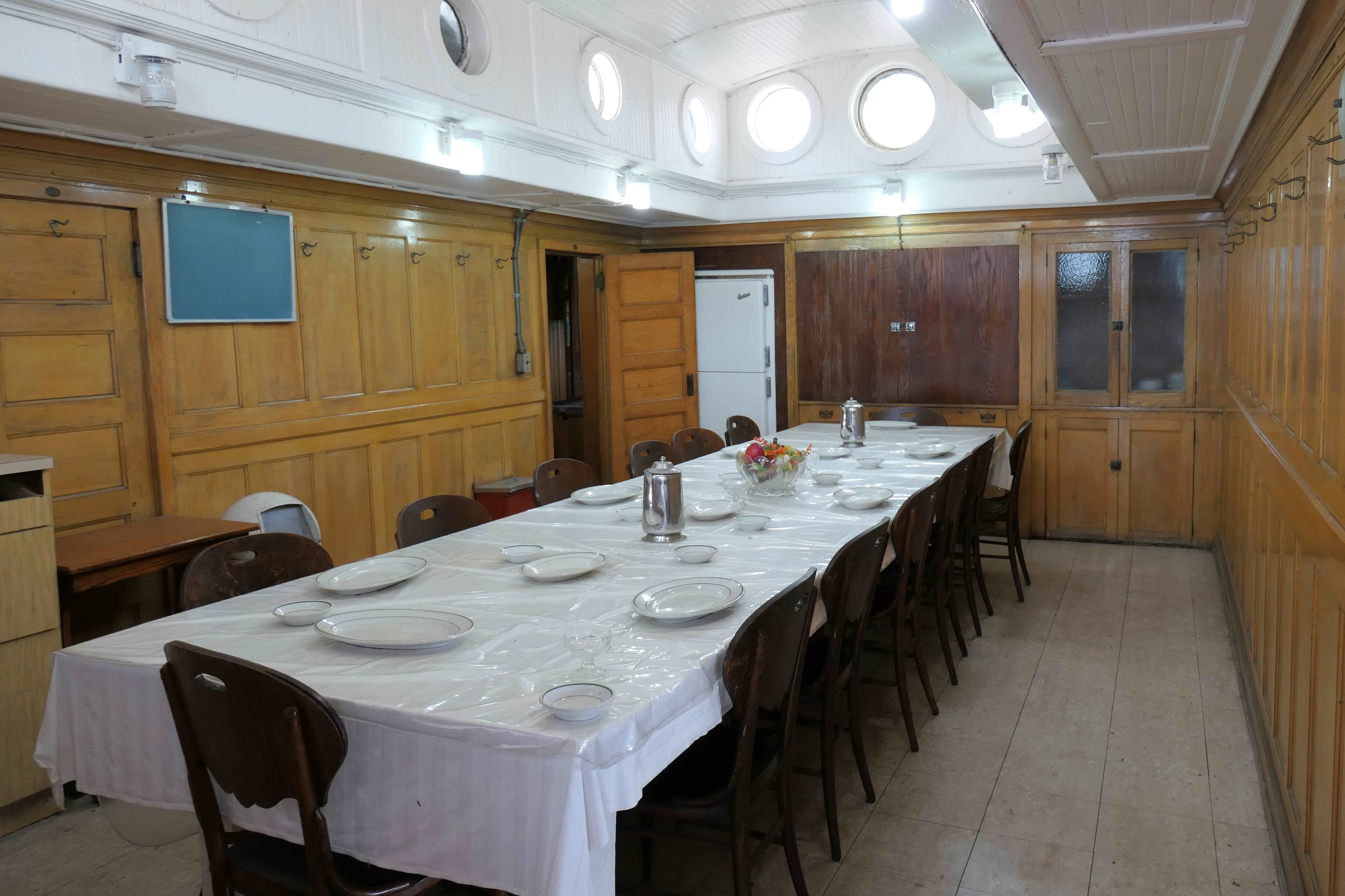
Interesting comparison of the roomy 14-seat officers’ Dining Room to the small 6-seat crew members’ Mess Hall (the crew had to eat in shifts)
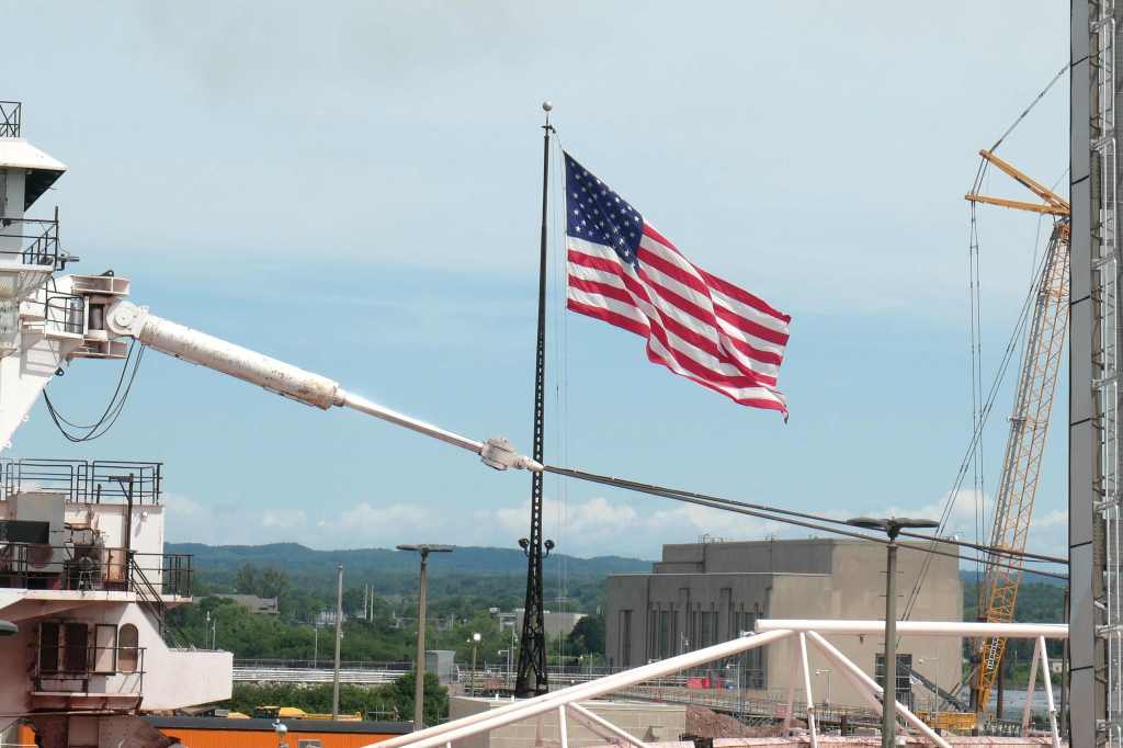
To cap off the holiday, our beautiful flag was blowing in the breeze at the Soo Locks while the freighter was passing by!
O’er the land of the free and the home of the brave!
Getting to this section of the Great Lakes involves a great deal of history. Just some basics to keep in mind as we talk about where we go and what we see here. The first point is that Lake Superior is the largest freshwater lake in the world and more than 600 FEET ABOVE the ocean! What’s more interesting still is that as all that water flows downstream to the ocean, there are really only two spots any early traveler could NOT float through. The obvious one is Niagara Falls, and the other…? Right here on the St. Mary’s River that runs between Lake Superior and Lake Huron. There’s a drop of 25 feet over nothing but terrible rapids.
With that in mind, we started our personal exploration on the Canadian side of this crazy but oh so important spot between Canada and the U.S.
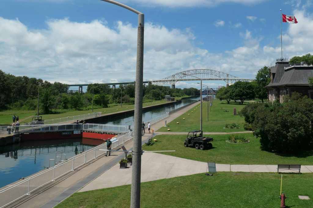
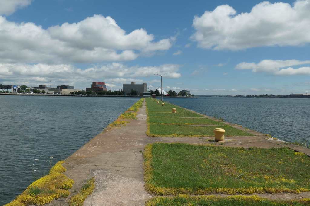
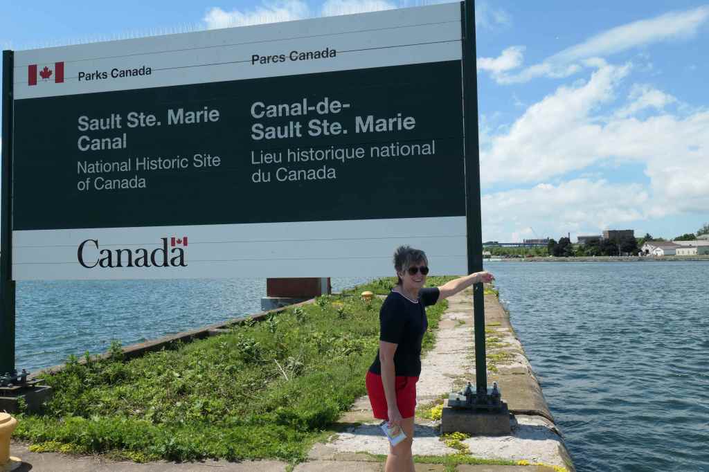
Sault Ste. Marie Canal, Ontario
Suffice to say, this slice of rapids was fought over many times, so you might imagine the story. Briefly, of course the Indians were here first. Next came the French then the British and Americans, all initially trying to get all those furs, then other bounty from the lands above and below the Great Lakes. The first attempt to tame the rapids were small locks built by a British merchant company called North West Company in 1798. Those locks were destroyed in 1814 during the war with the United States. Then the U.S. built new locks on “our side” of the river in 1853. Everyone used that side until 1870 when the U.S. stopped a British-Canadian ship from coming through trying to stop a fight downstream on the Canadian side. Understandably, this aggravated the Canadians (still very British), so much so that they built their own lock on their side of the river. Whew, end of history lesson…. hopefully!
Completed in 1895, the Sault Ste. Marie Canal was the final link in an all-Canadian navigation system (meaning they’ll stay on their side, thank you) from Lake Superior all the way to the St. Lawrence River in the east. To “one up” those Americans, at the time, the lock was the world’s longest and the first to operate with electrical power! Electricity allowed it to fill and empty faster than the manual locks.
The route to the Atlantic successfully connected Canada to the world!
Closed in 1987 due to a lock wall failure (oh my!), the lock was reequipped, and the canal was shrunk and re-opened in 1998 for recreational purposes.
Oops, it’s now closed again for more fixes – to reopen in August, but the Visitor Centre is open, and the Historic Site includes walking trails on the islands with great views of the St. Mary’s River and Rapids.
Islands. Trails. Waterways. History. You know we’re down for that!
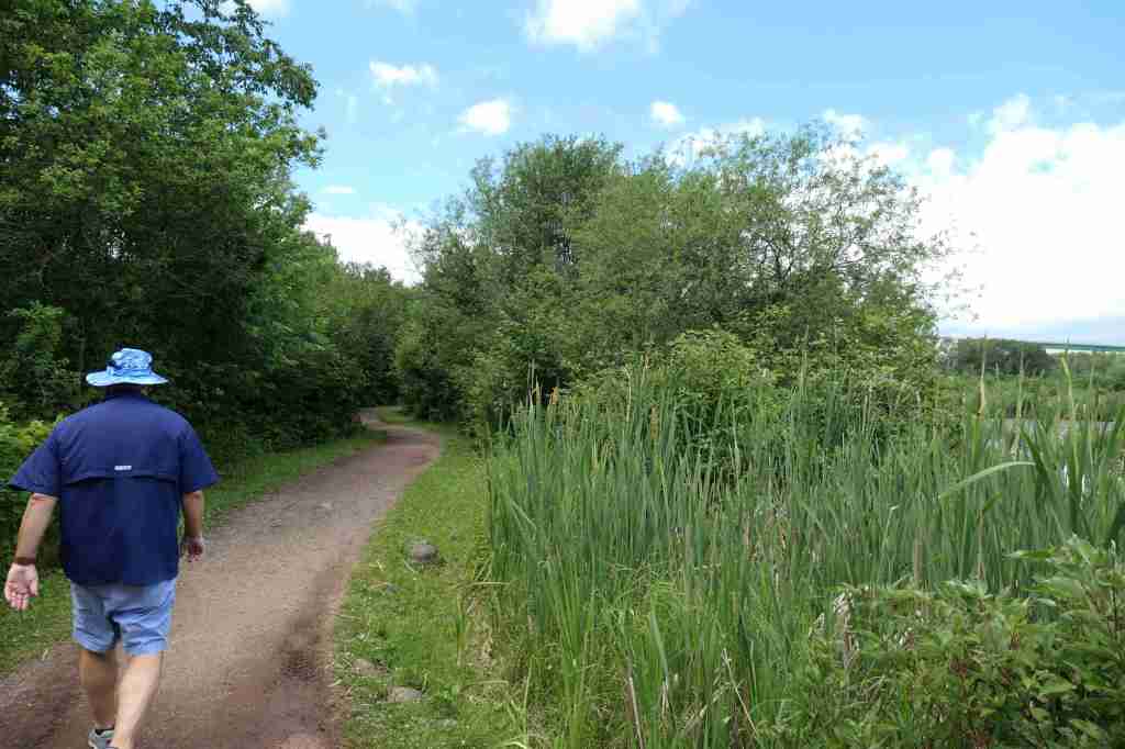
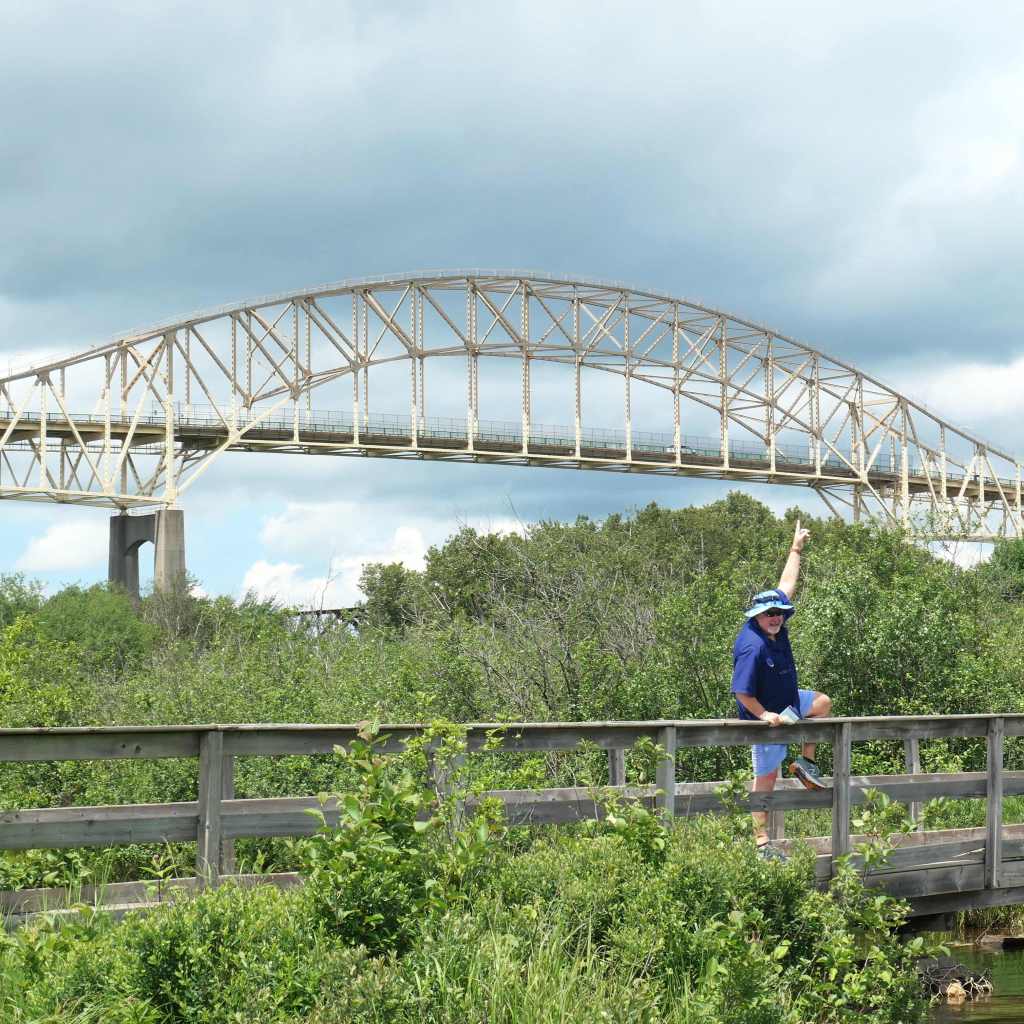
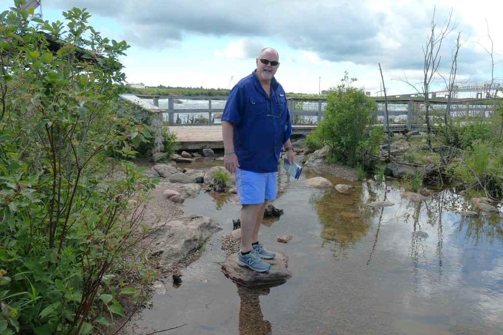
After perusing the information at the Visitors Centre, we crossed the canal and South St. Mary’s Island, then took the little bridge to the Whitefish Island Reserve, a national historic site and territory of the Batchewana First Nation. Whoa, more history.
On the bridge to Whitefish IslandBath timeBottoms up!Watching some aquatic entertainment
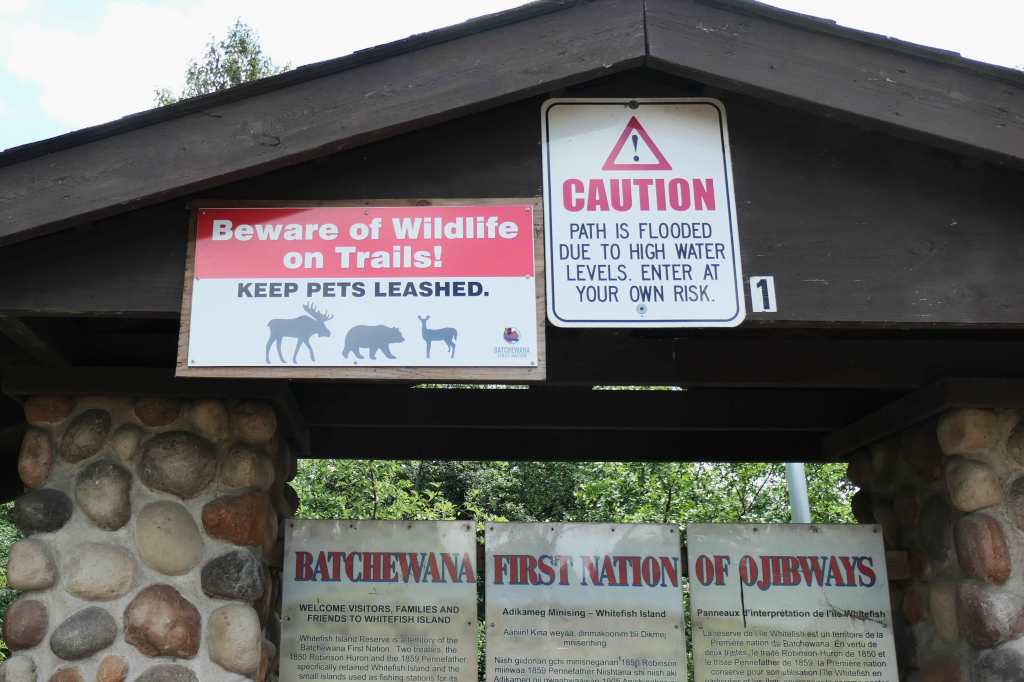
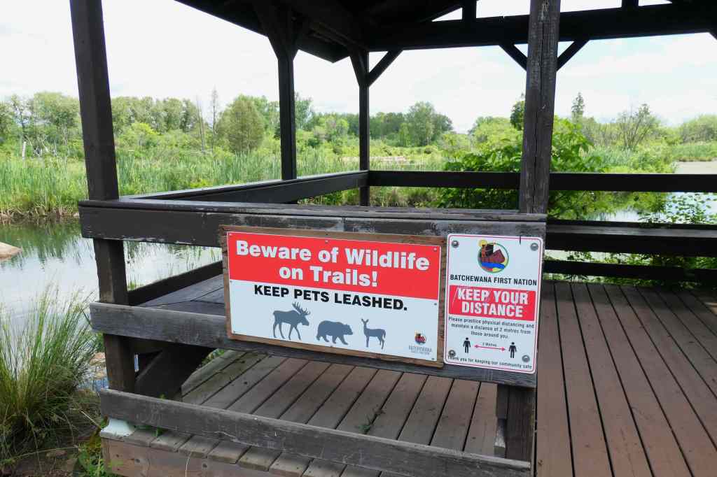
The entrance to Whitefish Island is marked with a few warning signs.
Moose? Bears? High water? Hmm…Path looks okay though – saggy pants leads us on!
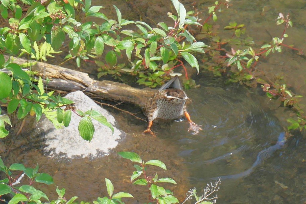
Now about that wildlife …
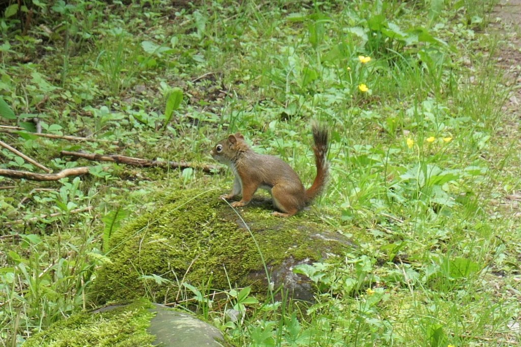
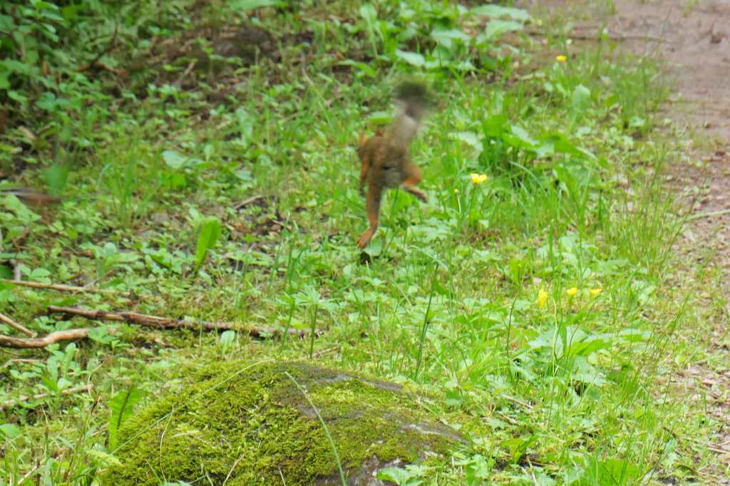
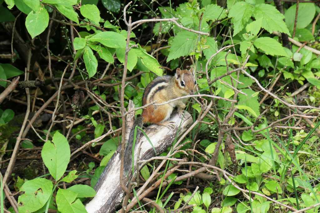
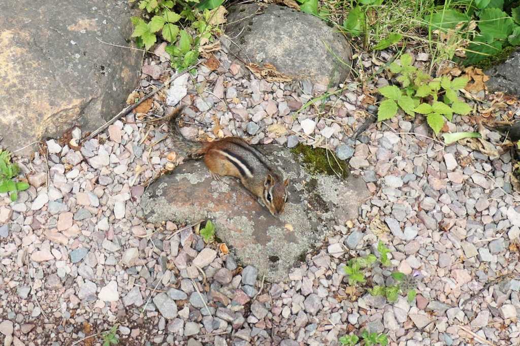
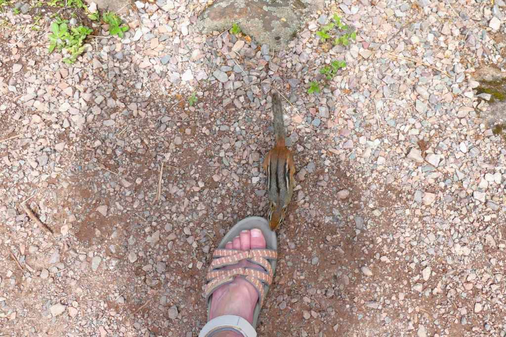
As Todd zoomed in for a shot of this young squirrel (aww, right?)something in the woods startled the rascal into mid-air (Yikes!)Here’s the not-so-scary perpetrator. (he he he)Susie took the camera back & while focused on this cutie,he scurried right on over. (Hey lady, you got snacks?) May need to leash the chipmunks. They clearly don’t care about the 6′ rule.
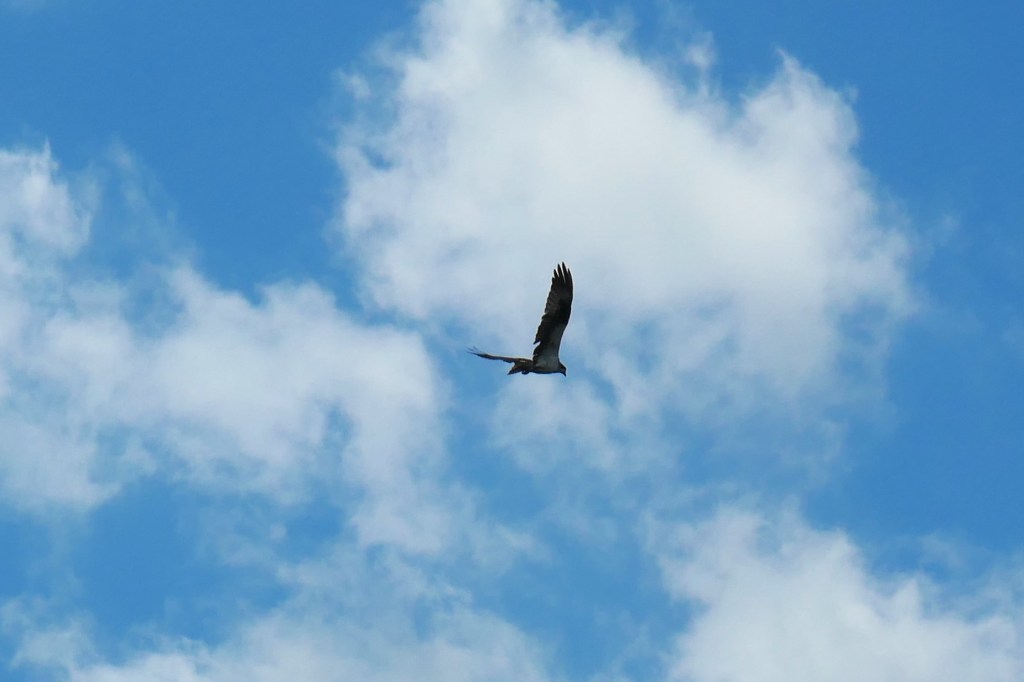
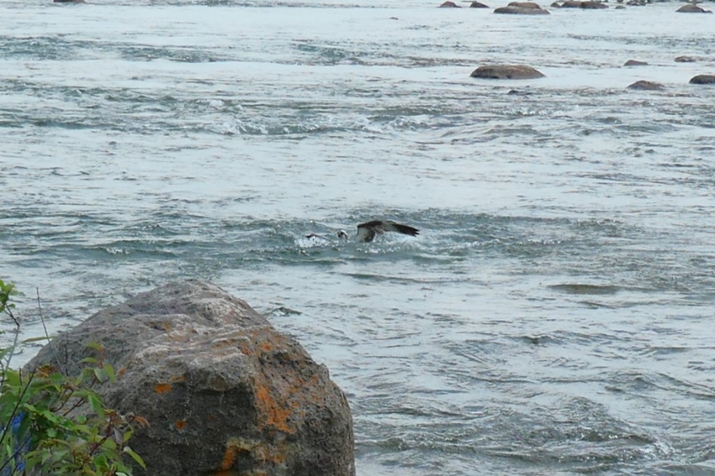
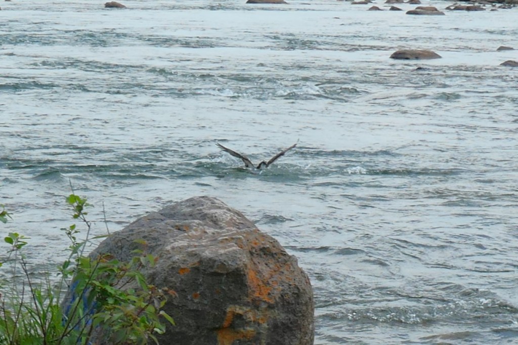
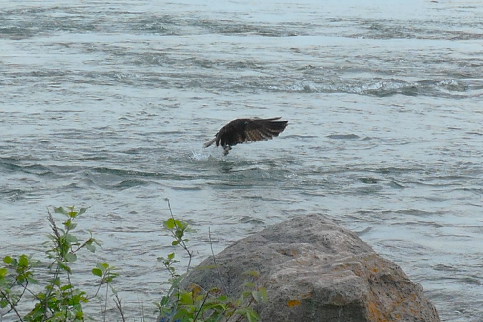
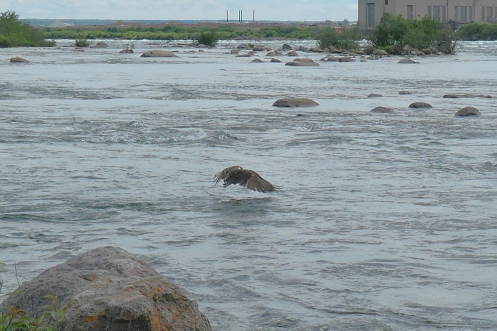
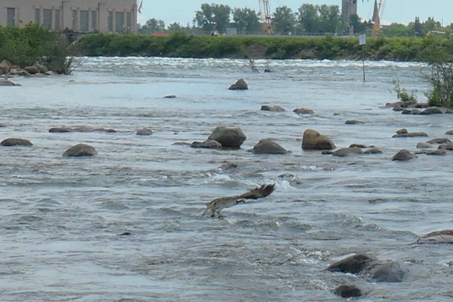
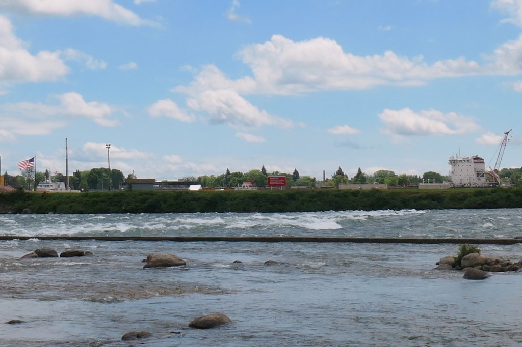
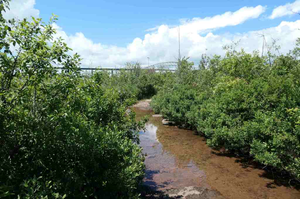
After our encounters with the small woodland creatures – and hoping NOT to find a bear in search of treats – we carried on down the path. As we approached the rapids, our photographer captured an osprey overhead. Then, as she was looking over to photograph the International Bridge, SPLASH! The osprey dove right next to us!
On the huntInternational Bridge between the U.S. & CanadaSPLASH!
It happened so fast. There was no time to switch to video, focus or zoom. Only click away and hope to capture something as the osprey captured lunch. Here are a few enlarged shots:
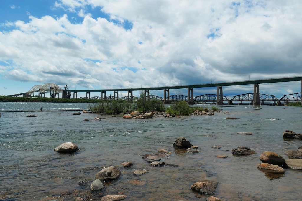
We enjoyed the sights for a bit and watched a freighter slowly pass way over there, through the Soo Locks across the river.
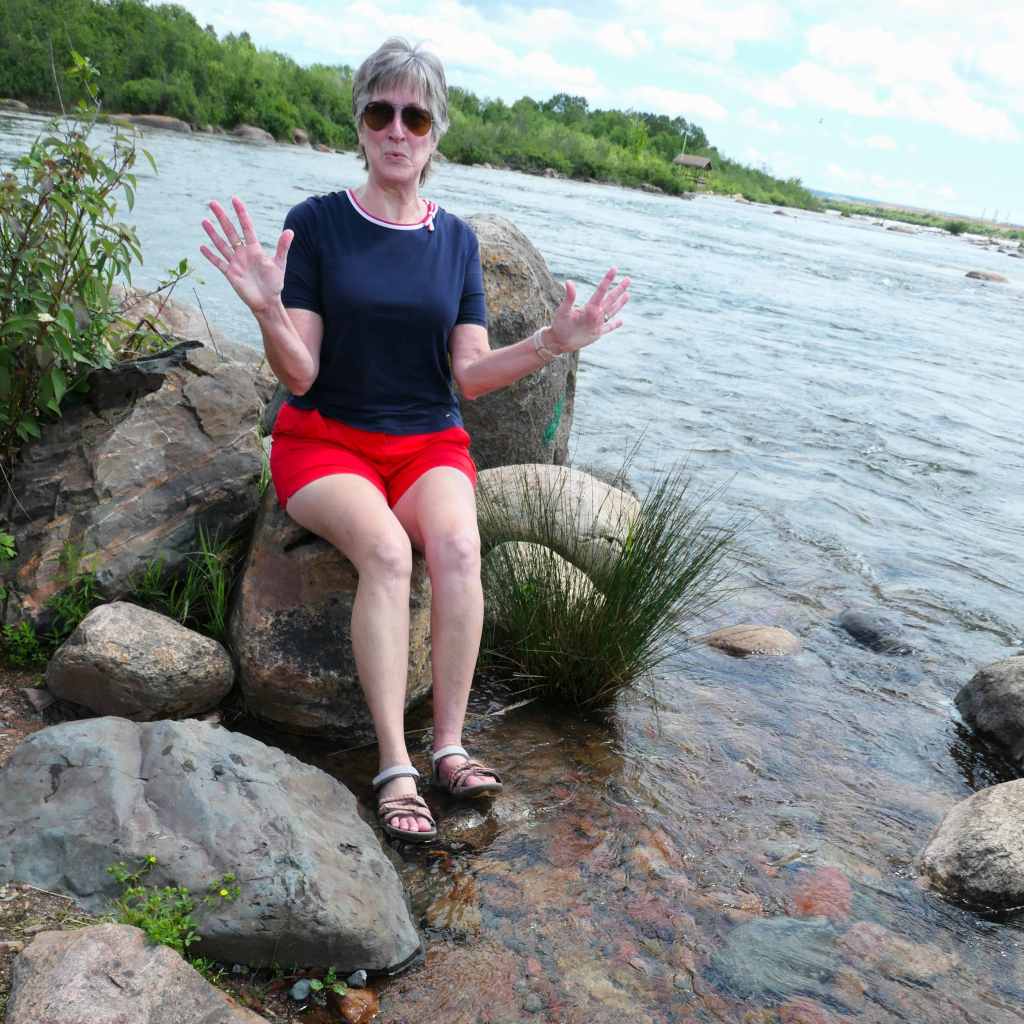
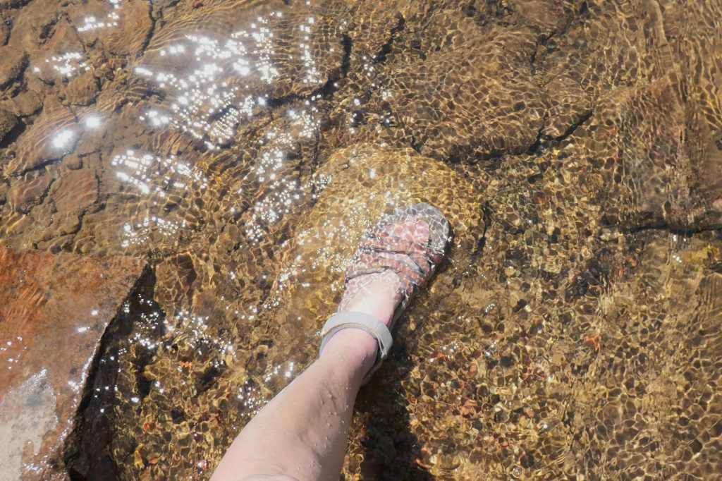
Excited about the osprey? Well, yes, but… no, the water is COLD!No, matter how hard he tried, Todd couldn’t touch the bridgeFreighter across the way in the Soo Locks
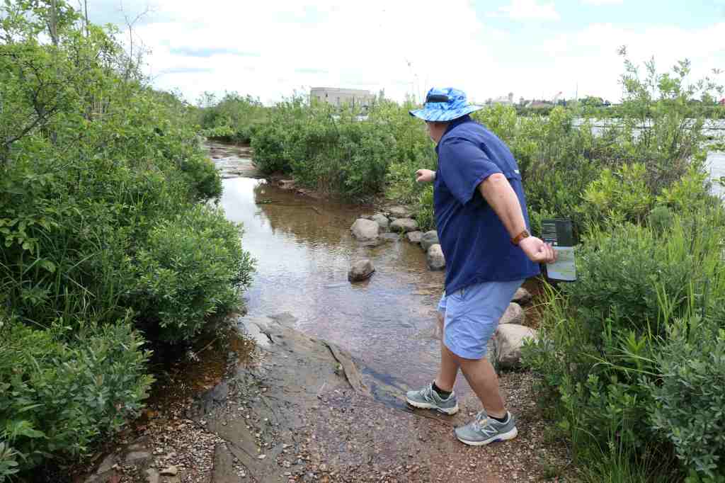
Remember that sign about the flooded path?
Found it.
No problem, the main path is a loop. We turned around and went back the other way. Guess what? It’s a LOOP. We eventually hit the flooded section again from the other direction.
Dummy in sneakers says U-turn!Happily finding some rocksHappily wearing the correct shoes 😉One of us ended up with wet sneakers & socks
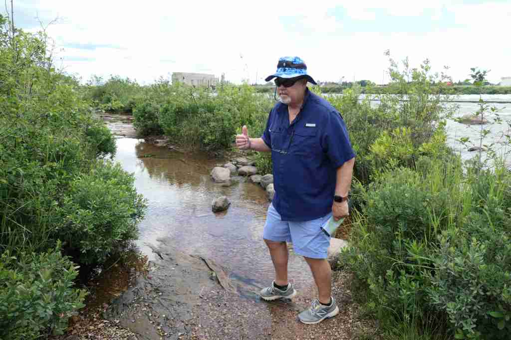
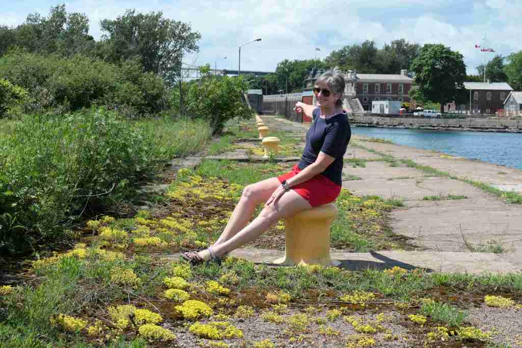
We decided to walk out on the canal wall so someone’s shoes could dry in the sunshine.
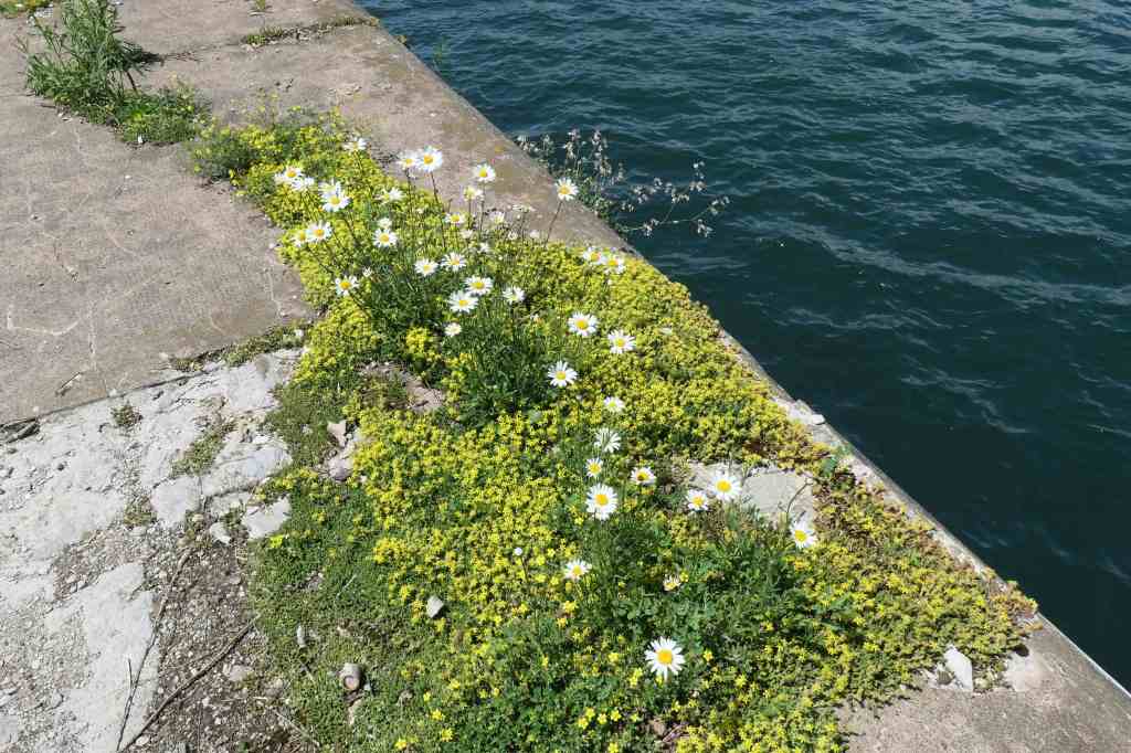
Imagining a shot of the whole family lined up on the bollards along the canalThere’s a big sign at the far end. Inquiring minds, you know. Let’s walk.This way to the canal & lockNature reclaiming its space
So pretty!
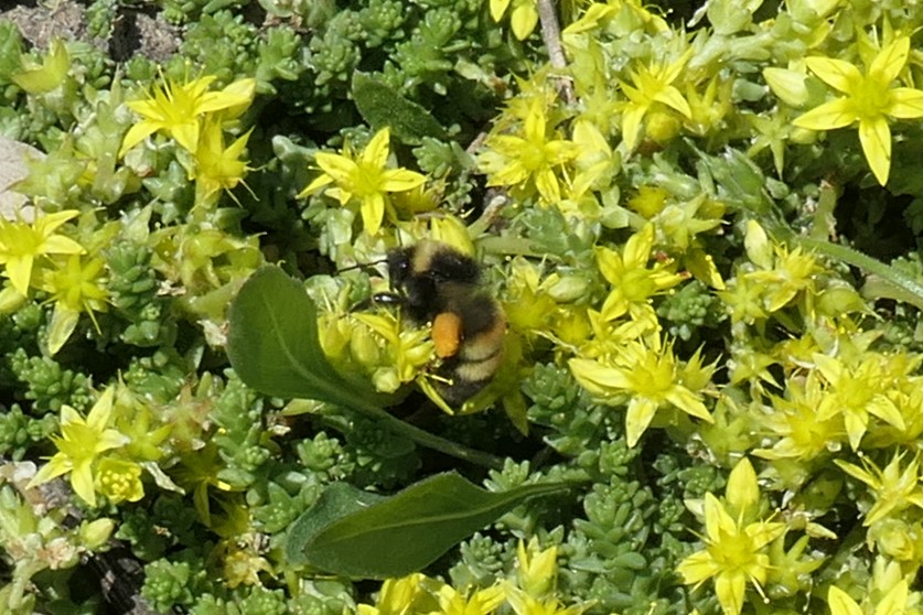
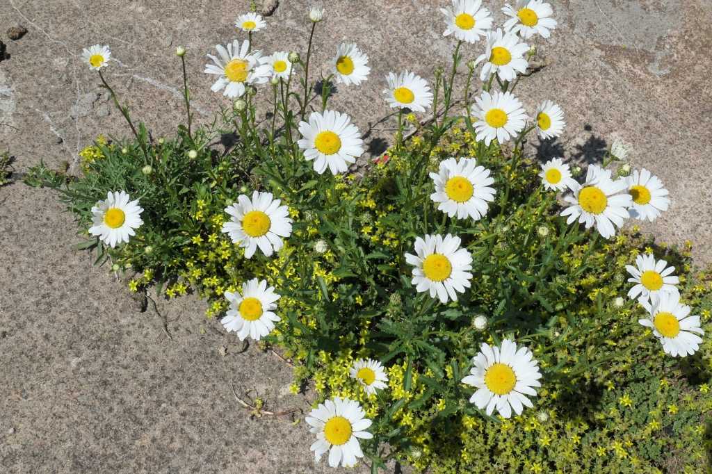
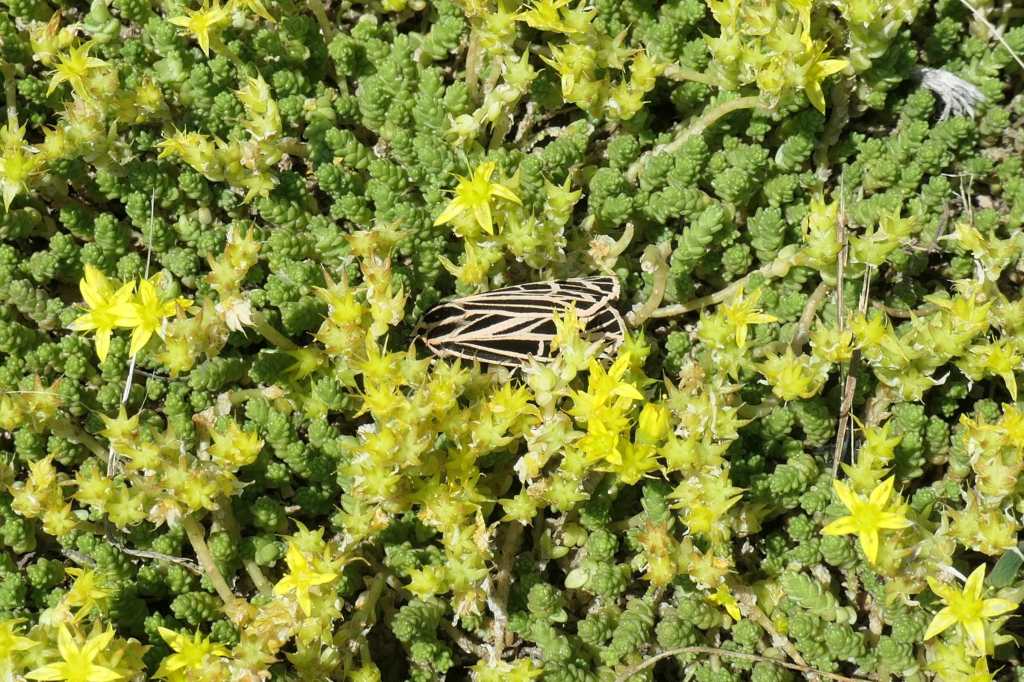
Perfect Salsify puffballA busy pollinatorComing up DaisiesVirgin Tiger Moth among the petals
That was quite a day! Not only didn’t we have treats for the forest creatures, but we also hadn’t packed a lunch. It was well past time to find some of that Italian food the Soo is known for. More on that another time. (And that may involve a bit more history…)
In our typical style, we turned Monday’s less than three-hour drive into more than eight hours. It’s what we do. ¯\_(ツ)_/¯
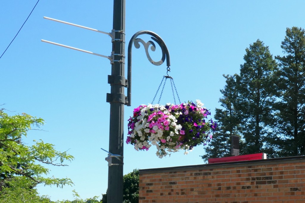
An hour into the trip, we passed through the downtown area of Charlevoix, Michigan. It was clear this is a town that cares about its image.
As part of the Keep Charlevoix Beautiful campaign, the town folk used to plant petunias along the roadside from one end of town to the other. When a remodel of the main road forced them to give up the “petunia watering truck,” they switched to large hanging baskets. 450 of them, in fact, along a 5-mile stretch through town!
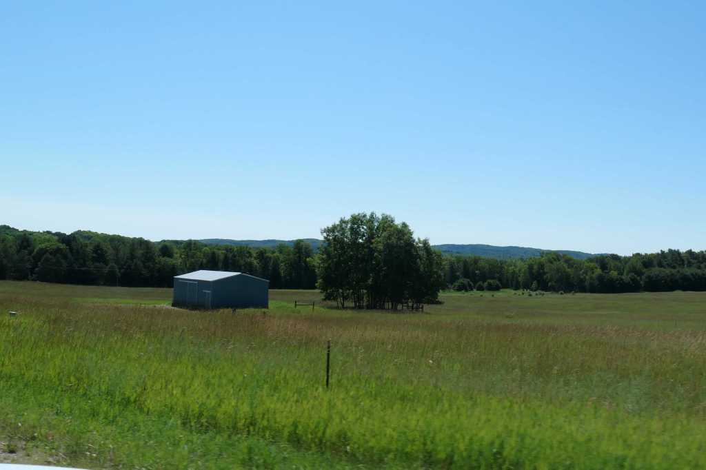
After winding our way through the petunias, we left Charlevoix behind for more stretches of farmland.
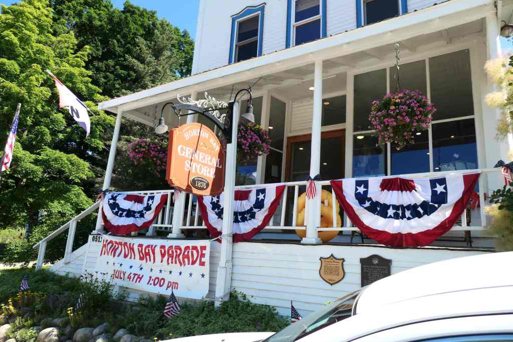
We were off to the Horton Bay General Store in Boyne City. Okay, why? Did you forget something?
Nope. In her research, Susie read of Ernest Hemingway’s connection to the Petoskey area of northern Michigan’s Lower Peninsula. When you say Hemingway, everyone thinks of Key West, right? Yes, if you’re an Olsen (or from Florida), but guess what? Wrong…. Michiganians really have a claim. Turns out Mr. Hemingway spent a lot of time in this neck of the woods, most summers for his first couple of decades. He even refers to the Horton Bay General Store in two of his novels. Since the store is still in operation, we had to stop so the Key West man could check it out.
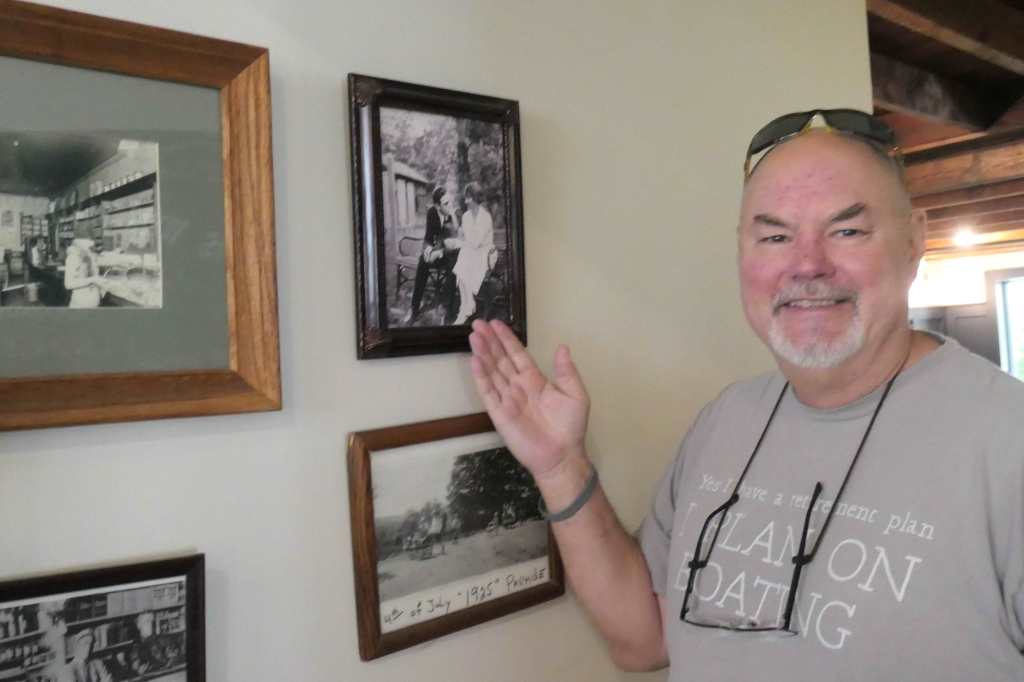
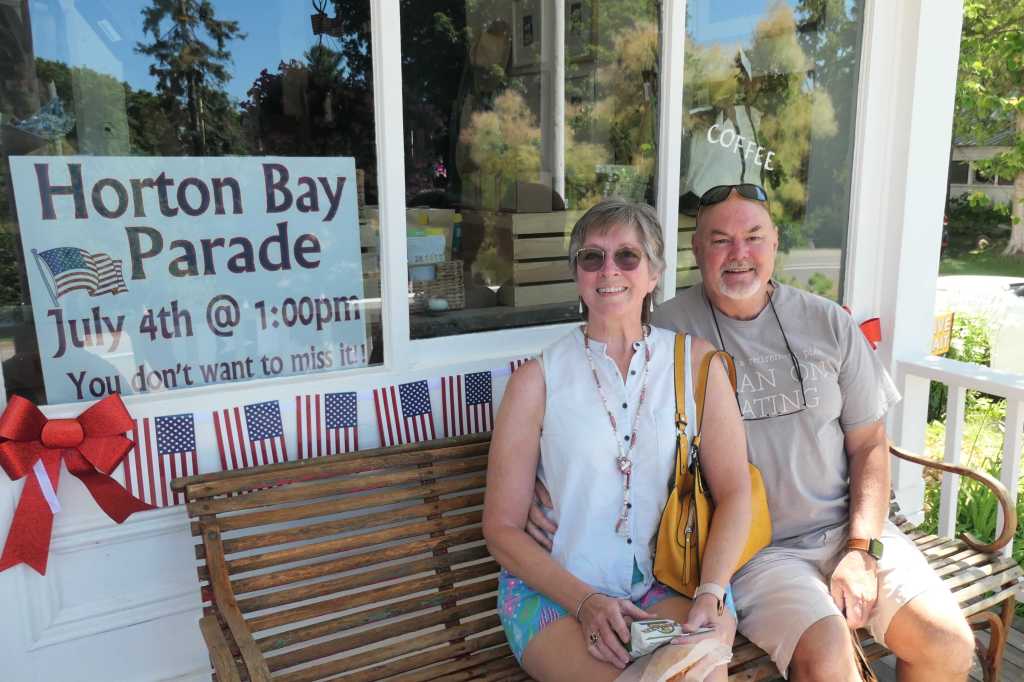
Horton Bay General Store, est. 1876Hemingway & his wife in photo on the back wall – note the benchCitizen of Conch Republic with his wife on “Hemingway’s bench”
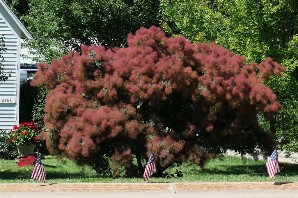
Wait…back up. What’s reflected in the window in that last photo? We were completely unfamiliar with the fluffy tree/bush/plant thing that looks rather like something from a Dr. Seuss book. (Our more botanical friends have permission to laugh at us now.) The specimen near the General Store, and featured in the reflection, is about 15′ tall. Todd went back inside to ask the proprietor what it was.
The fluffs eventually turn bright red, then fall off & blow down the street like little tumbleweedsThere’s a much larger one across the street that’s already turned redSmokebush Trees – Very interesting!
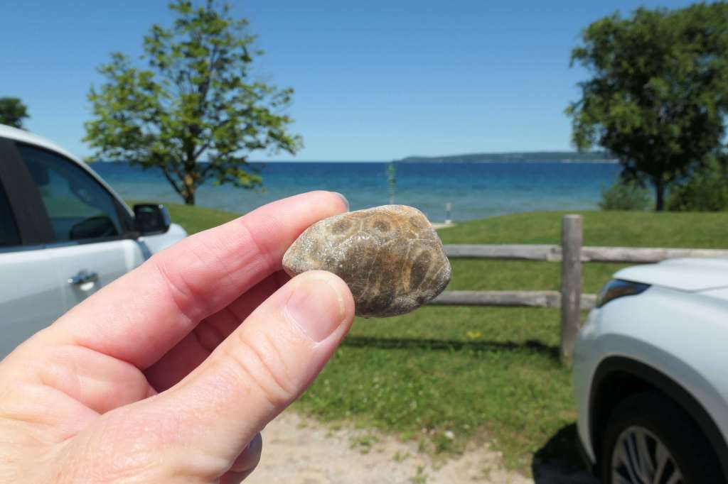
After leaving the general store, Susie requested a snack stop at the nearby Magnus Park in Petoskey. Todd sensed an ulterior motive more so than treats but went along with it anyway. W-e-l-l, since we’re here, Honey, we may as well spend some time rock hunting. 🙂 Look, several people have buckets of Petoskey stones! How hard can it be?
Gift from a young man in the parking lotWhile Susie photographed Little Traverse Bay & looked for stones…where was Todd?Hey!That better not be a Petoskey stone, Buddy!
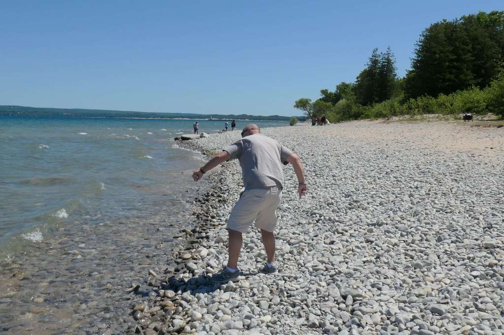
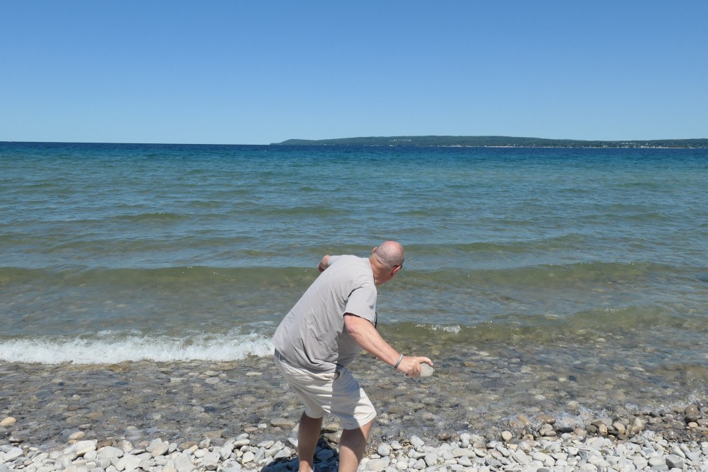
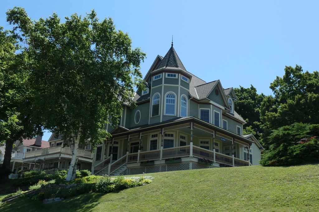
After more time skipping than actually finding, we continued past the grand houses on the Lake Michigan Circle Tour.
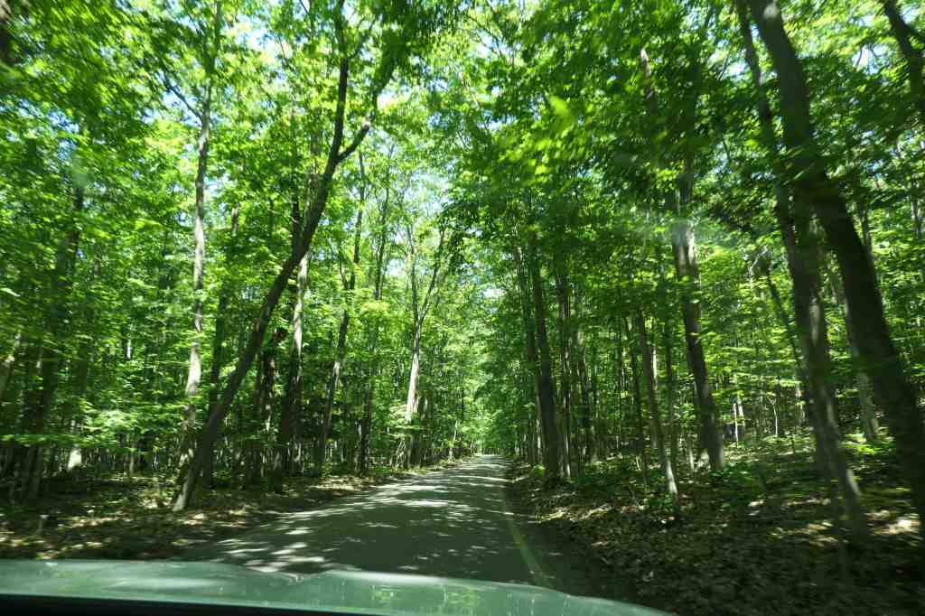
We were moving toward the “Tunnel of Trees,” a popular scenic drive on M-119, from Harbor Springs to Cross Village. Wow, what a beautiful drive on a picture-perfect day!
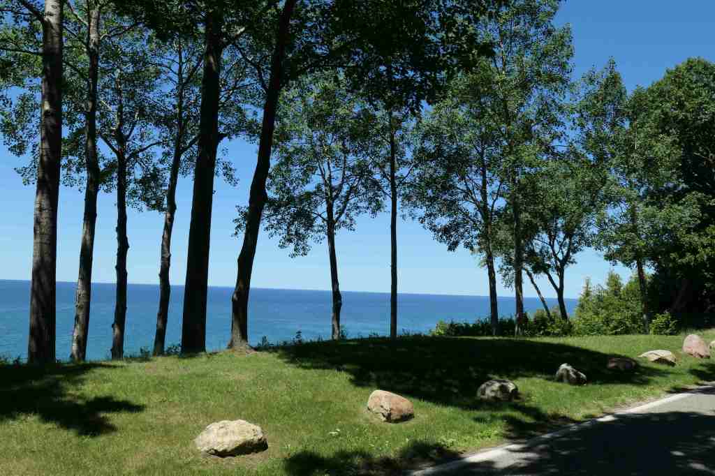
The “Tunnel” is a narrow, winding road through dense forestThere are occasional glimpses of Lake Michigan
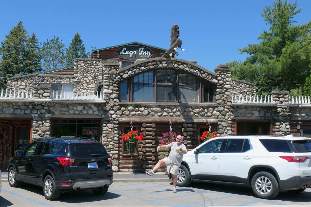
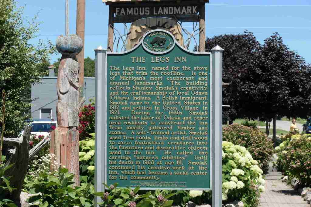
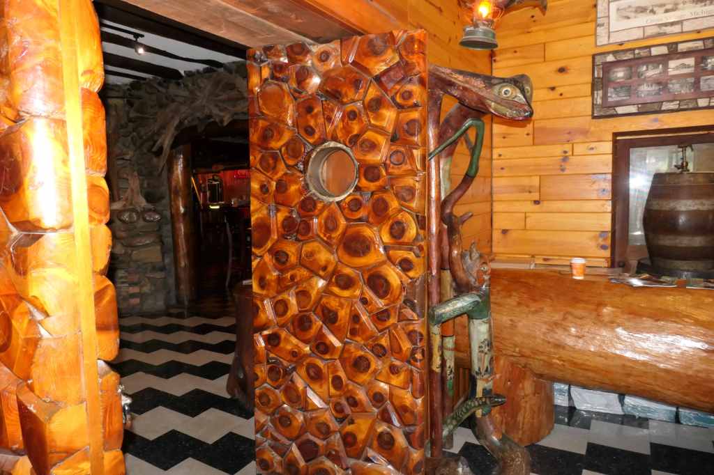
That was all well and good, but the “snack” (a shared savory scone) had worn off. It was almost 1500 and time for some actual food. Not to worry, Susie the Planner had a plan for that, too. We found ourselves at the historic and quirky Legs Inn, specializing in whitefish and polish fare, not to mention woodwork galore. Walk out to the back garden and one can see four lighthouses. What a spot!
Not those legs, the stove legs along the top of the buildingHistoric LandmarkLooks like Petoskey stone!
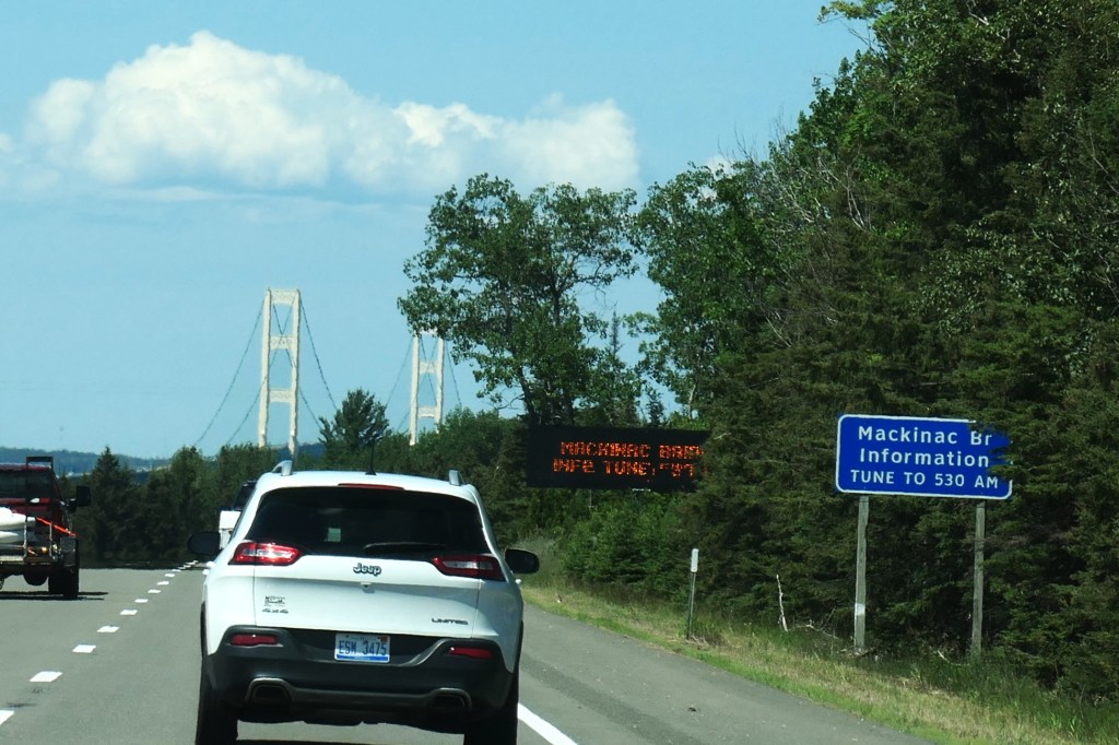
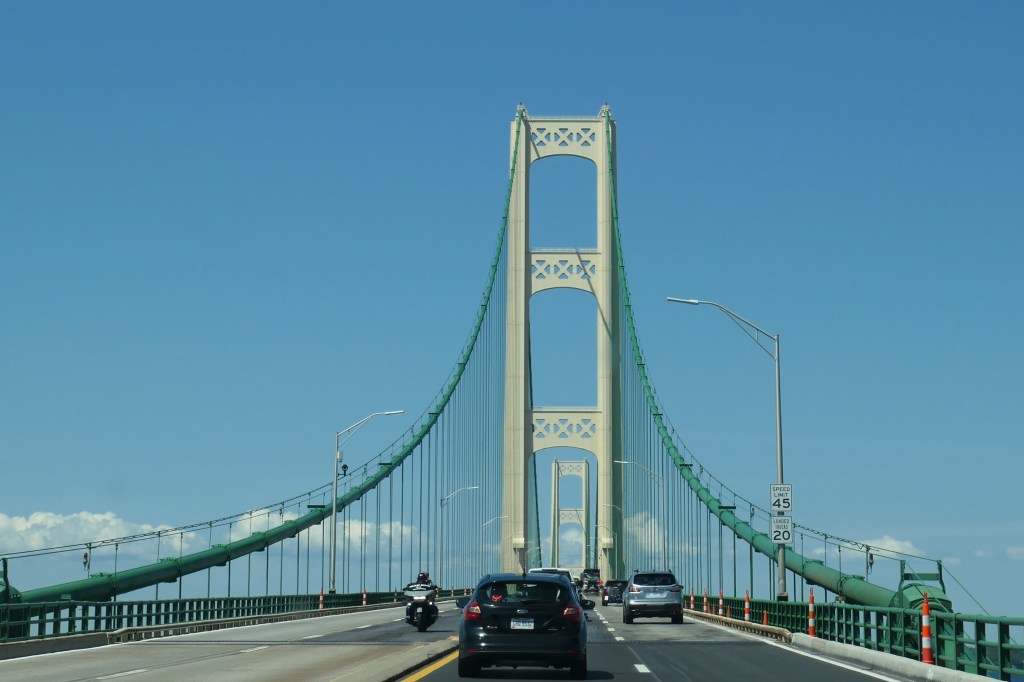
With our legs stretched and bellies full it was finally time to get on to the Mighty Mac. Opened in 1957, the Mackinac Bridge spans the Straits of Mackinac, the waterway connecting Lakes Michigan and Huron. At five miles long, this connection between Michigan’s Upper and Lower Peninsulas is the longest suspension bridge in the Western Hemisphere.
Our first glimpse of the bridge in the distanceDriving across the Mighty MacWe’d finally made it to the U.P.!
And then we drove straight on across. What? We’ll return to explore the U.P. next week. For now, next stop, Canada!
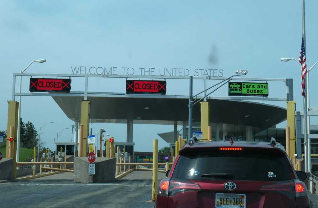
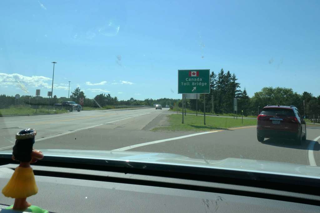
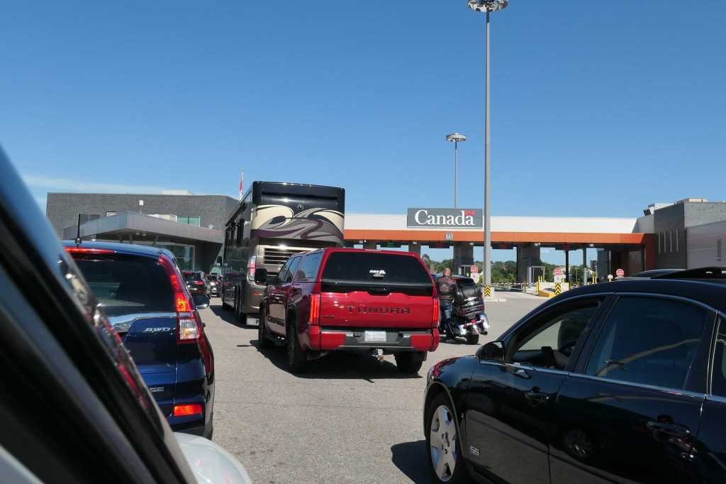
This way to CanadaGlimpse of the Soo Locks from the International BridgeWelcome to Canada!
And with that, we’d left the country.
Incidentally, we entered Canada on July 1. While patriotic citizens stateside are planning for the upcoming July 4th Independence Day celebrations, the Canadians celebrate Canada Day on July 1. The holiday marks the 1867 Canada Confederation, when three separate British colonies of the United Province of Canada (now the provinces of Ontario and Quebec), Nova Scotia, and New Brunswick were united into a single dominion within the British Empire called Canada.
Bet you’ve been missing the cute critter pics lately, haven’t you? Ha! We have, too, so here’s a couple to kick things off:
The chipmunk that lives under the front deck comes out to visitA BLACK squirrel – quite odd for those of us from the south
And now back to our regularly scheduled exploring.
Friday, we made another day of it with a 124-mile circular road trip west to the shore then southeast and back. We began the day thinking about our friend Betsy.
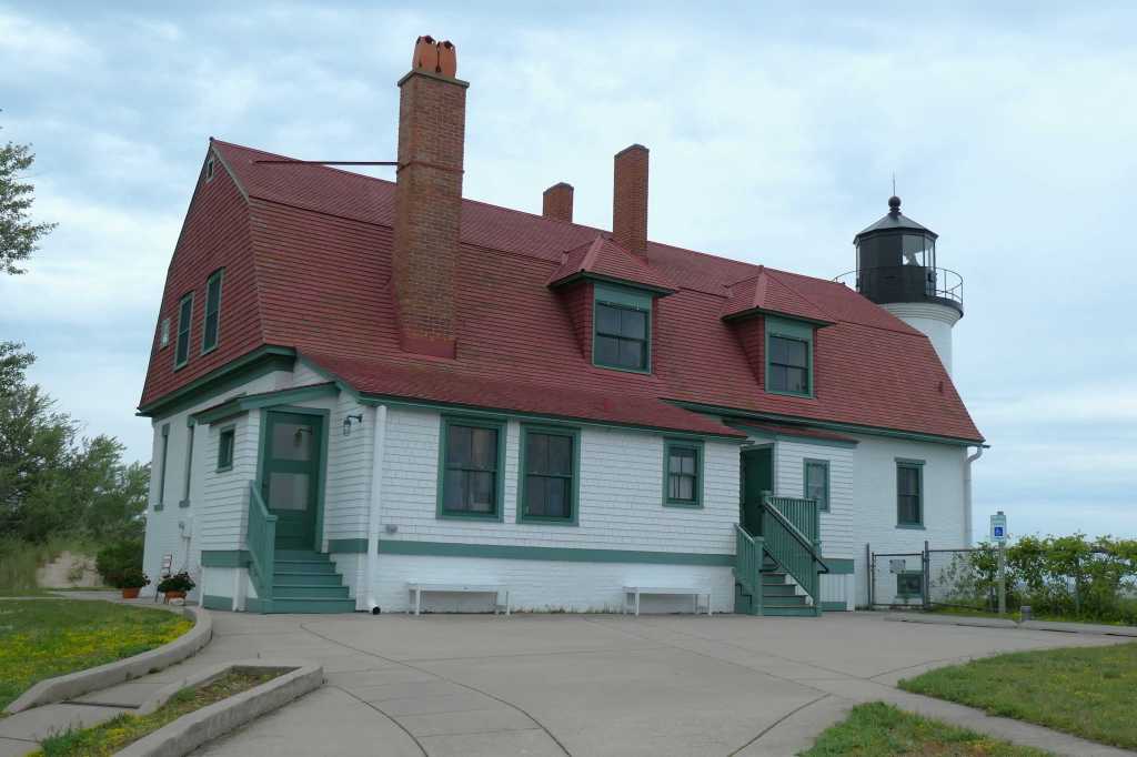
First stop: Point Betsie Lighthouse, established in 1858
Fun Fact: the 54-mile-long river that empties into the eastern shore of Lake Michigan was named by the French “Rivière Aux Bec Scies” (meaning river of sawbill/merganser ducks) eventually transitioning to the name “Betsie.”
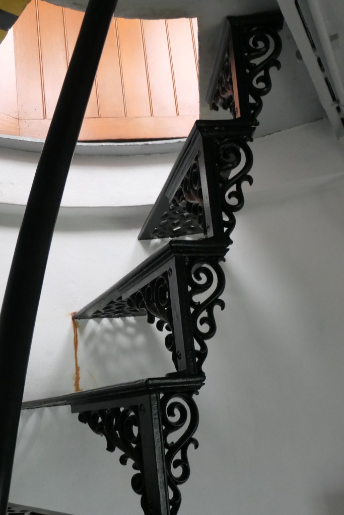
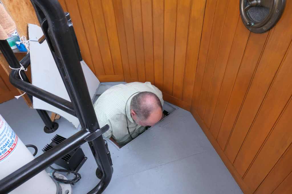
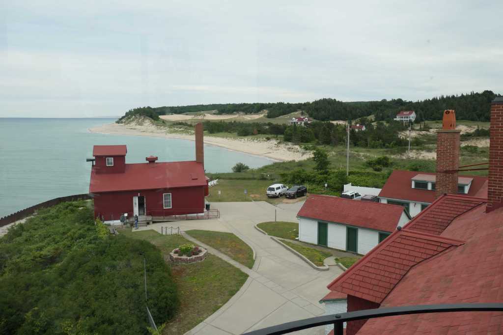
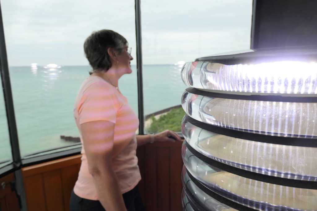
Now up we go!
Going up or down? Either way, it’s tight!To take in views of Lake MichiganThat’s the red Fog Signal BuildingJust don’t look directly at the now LED light!
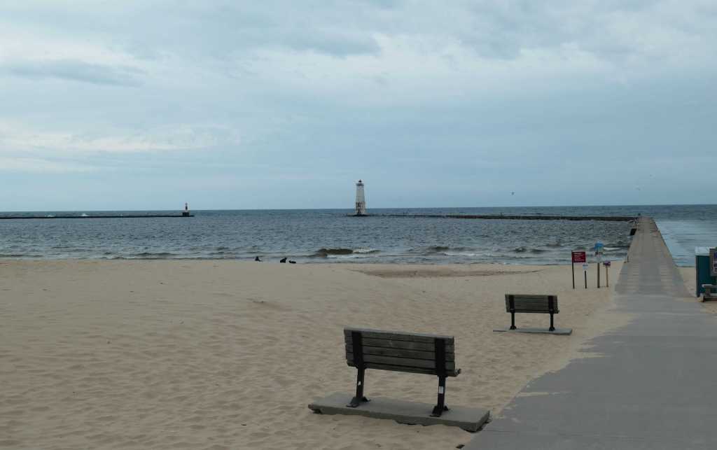
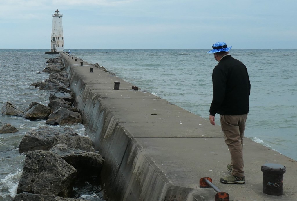
Second stop: Frankfort North Breakwater Lighthouse
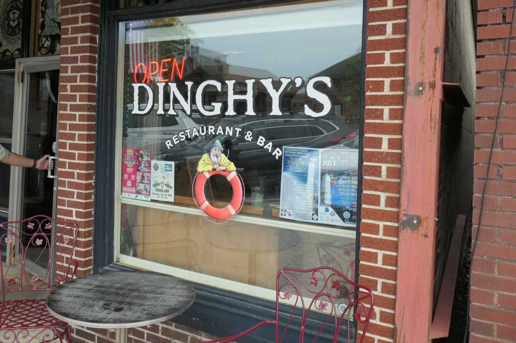
Todd remembered there was another lighthouse nearby, so off we went to downtown Frankfort.
Naturally we had lunch at a place called “Dinghy’s” 😉
The afternoon got much cooler and also downright dreary. So, after enjoying the Friday Fish Fry special (perch!), we donned jackets and boots for the walk from town to the lighthouse.
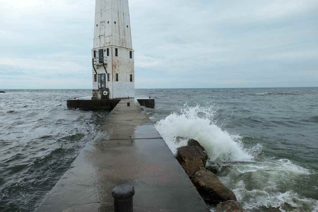
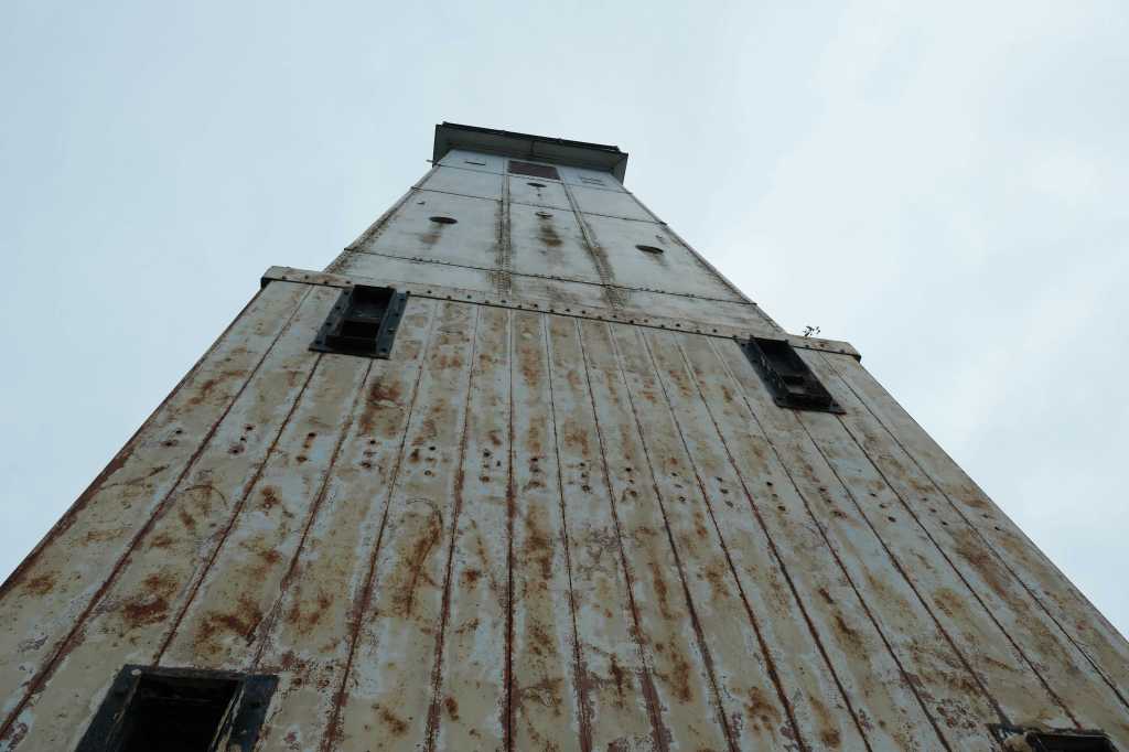
The original Frankfort North Breakwater Lighthouse, constructed in 1873, was replaced with the current square steel pyramidal tower out on the north pier in 1912.
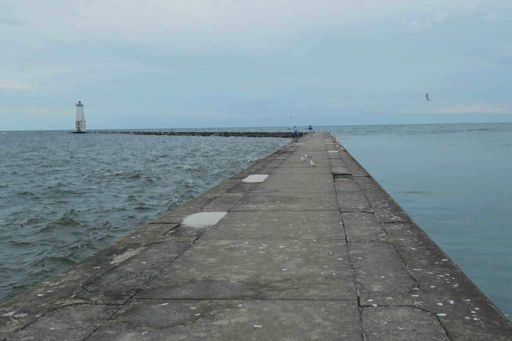
Only way out there is a bracing walk in the wind. But heck, let’s go see it! Notice the difference in sea state between the windward and leeward sides.
The 1st leg of the seawall is fairly wideThe 2nd section narrows. Who’s going first? 🙂The last bit requires timing to avoid wet anklesOf course, Todd went to capture this dizzying view
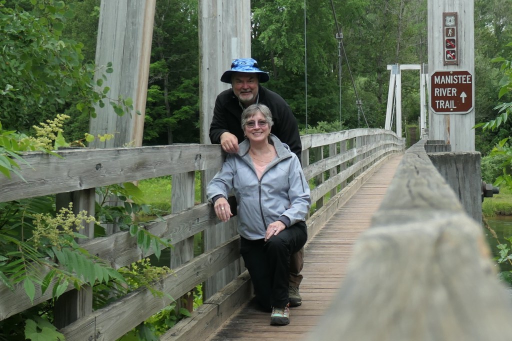
Third stop: Little Mac Foot Bridge in Mesick
Now in a gentle but steady rain, we drove “back” kinda southeast to the Little Mac Foot Bridge, a 245′ suspension bridge installed over the Manistee River in 1996. The Little Mac is a miniature version of the Mackinac Bridge, the five-mile suspension bridge that connects Michigan’s upper and lower peninsulas (affectionately known as the Mighty Mac). We’re going to drive the Mighty Mac today.
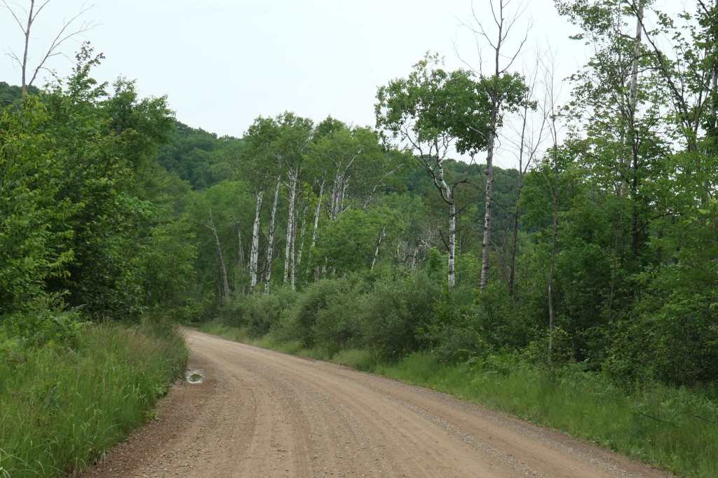
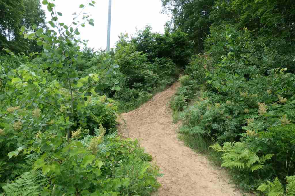
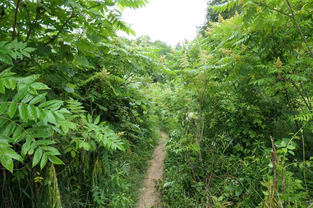
For Friday, however, we followed the dirt roads out to the Manistee River Trail, which is part of the North Country Trail that runs 4,800 miles through the Midwestern & Northeastern states!
As we discussed the fact that our rain jackets were back at the house and whether or not we’d suck it up and just get wet anyway, the rain stopped as we parked the car. Perfect!
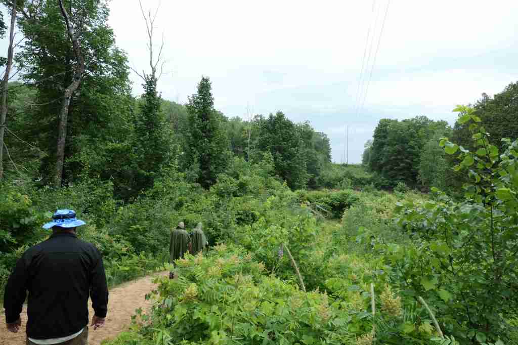
The wise hikers ahead of us were prepared with ponchosAs they headed up to their campsite, we took the trail down to the bridgeThe lower trail narrowed quite a bitUntil at last, the Little Mac Foot Bridge!Hmm…we thought the vertical cables would be bigger
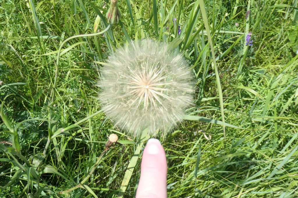
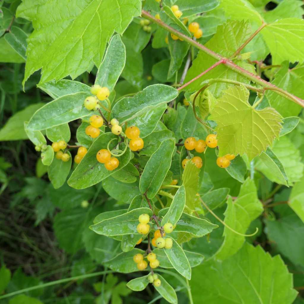
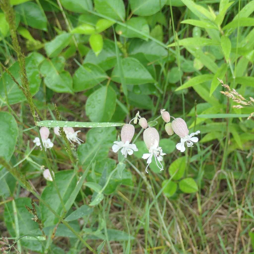
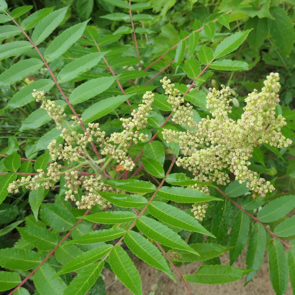
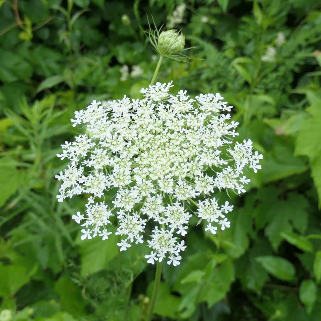
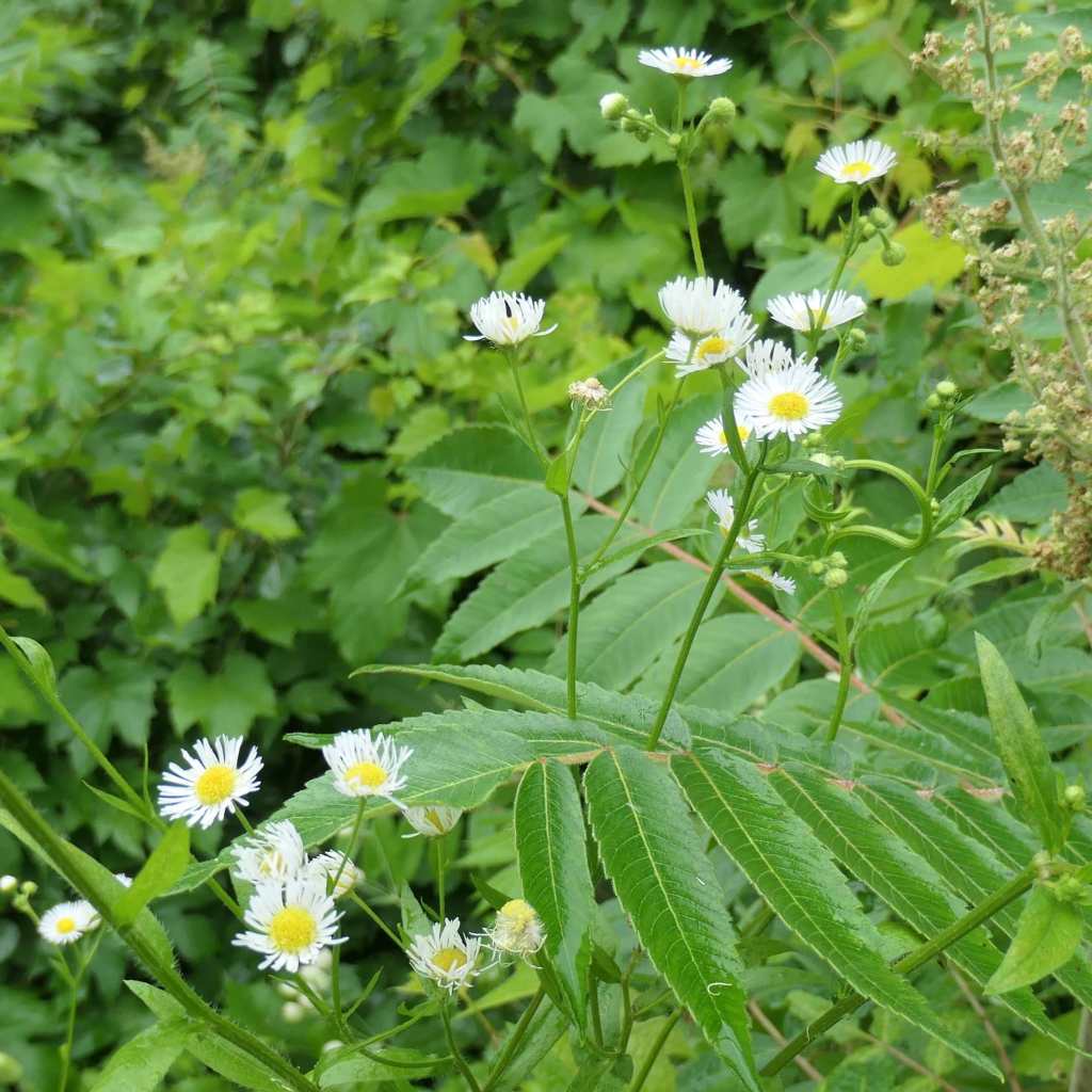
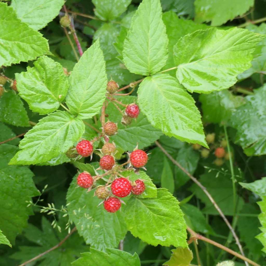
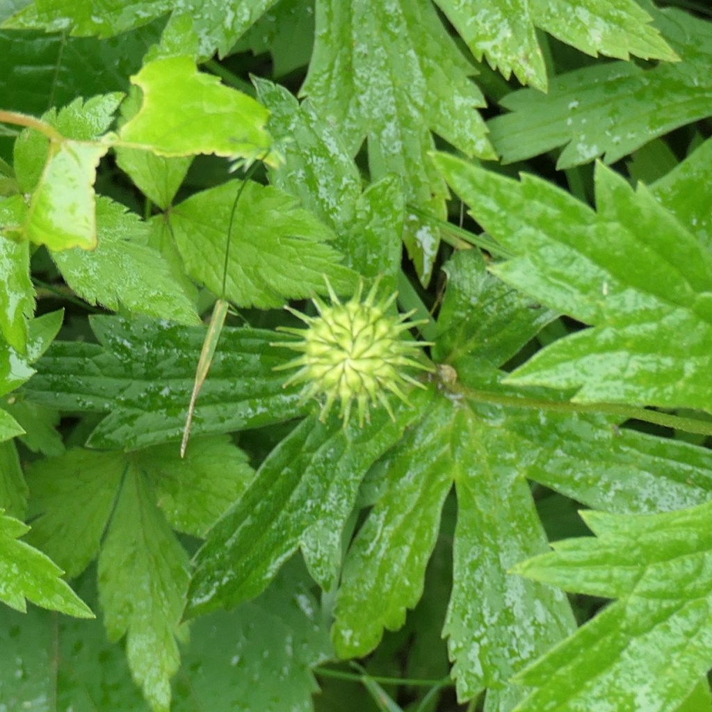
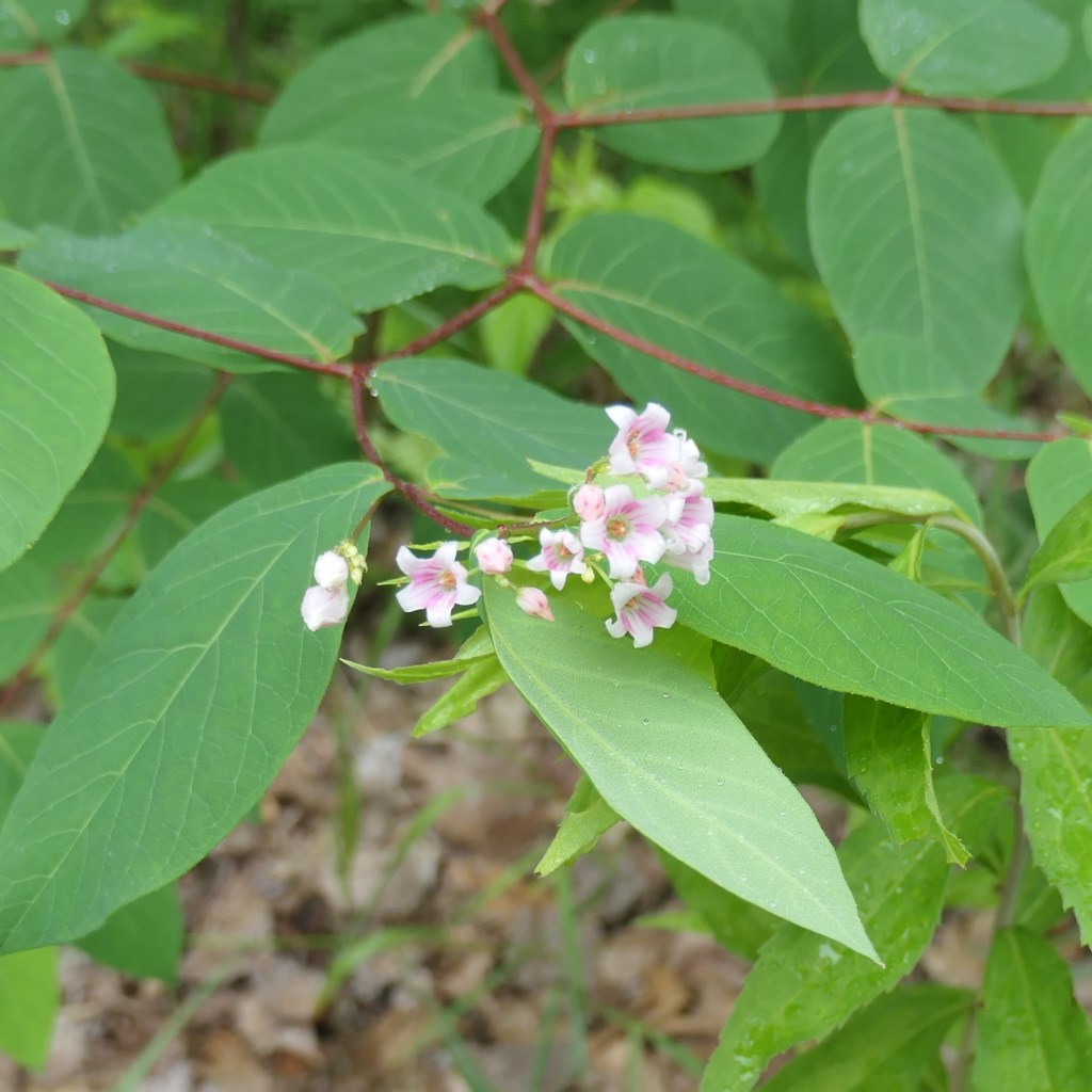
Having included fauna at the top of the post, here, for our plant-loving friends (you know who you are), is a bit of flora from the trail. Fresh after the rain, everything just popped!
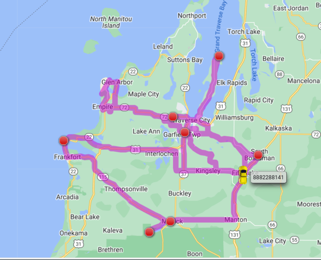
Pearl’s GPS tracker provides a visual representation of our wandering this section of the state – almost 400 miles of good times! Proof positive that hybrid Pearl with her excellent MPG is the right tool for the job.
Go girl go! Hey! You missed a few spots. Ha! Better come back one day!
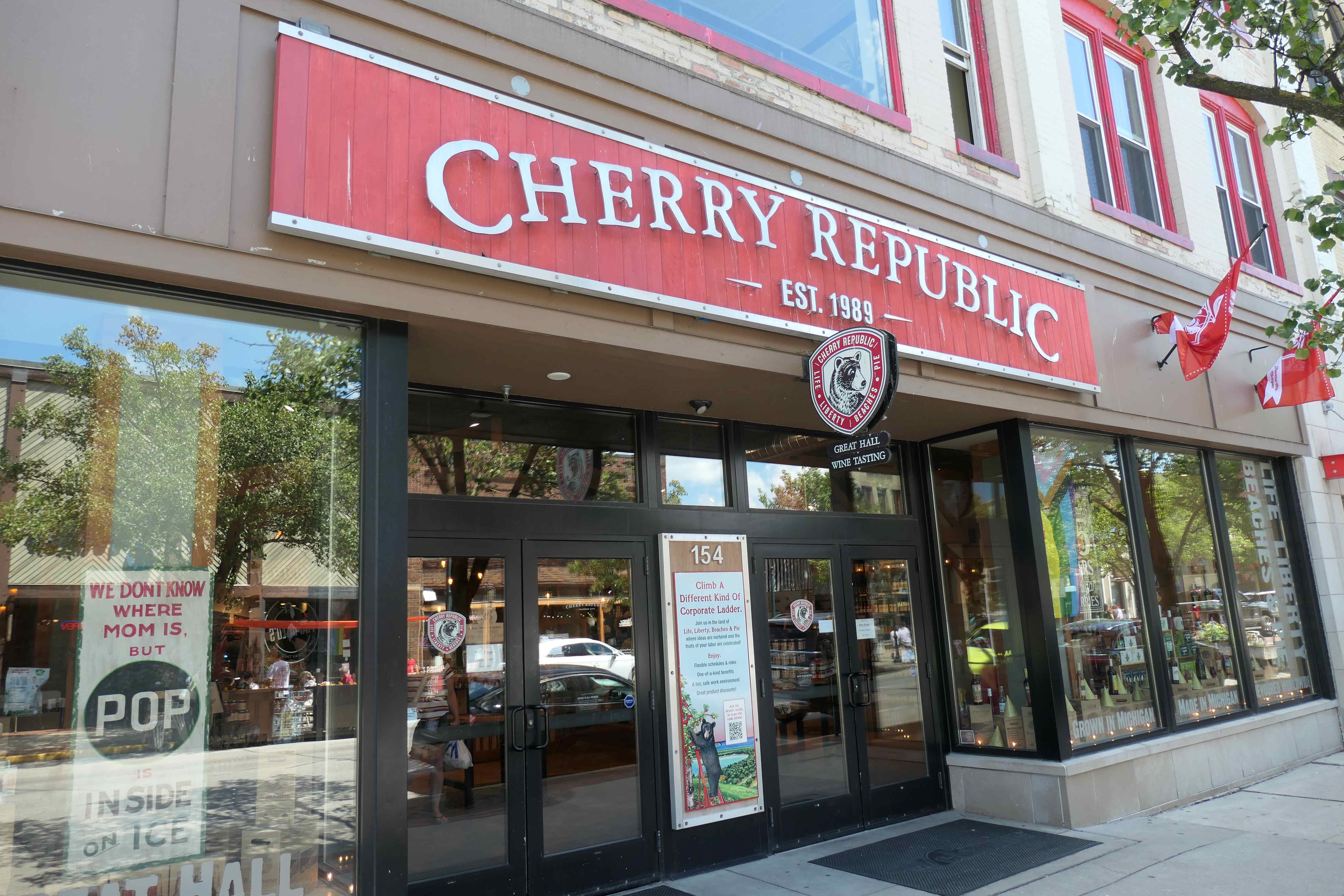
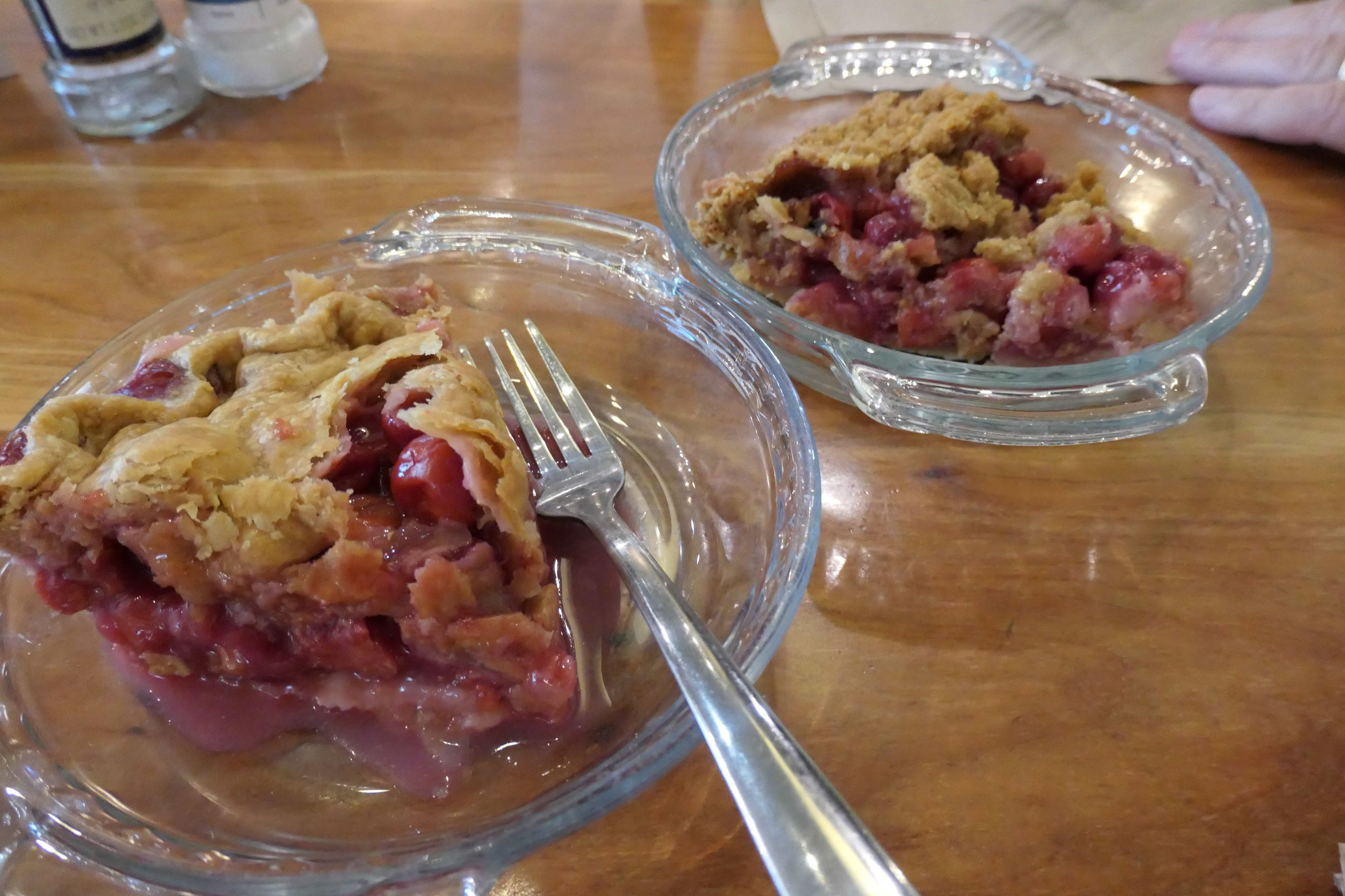
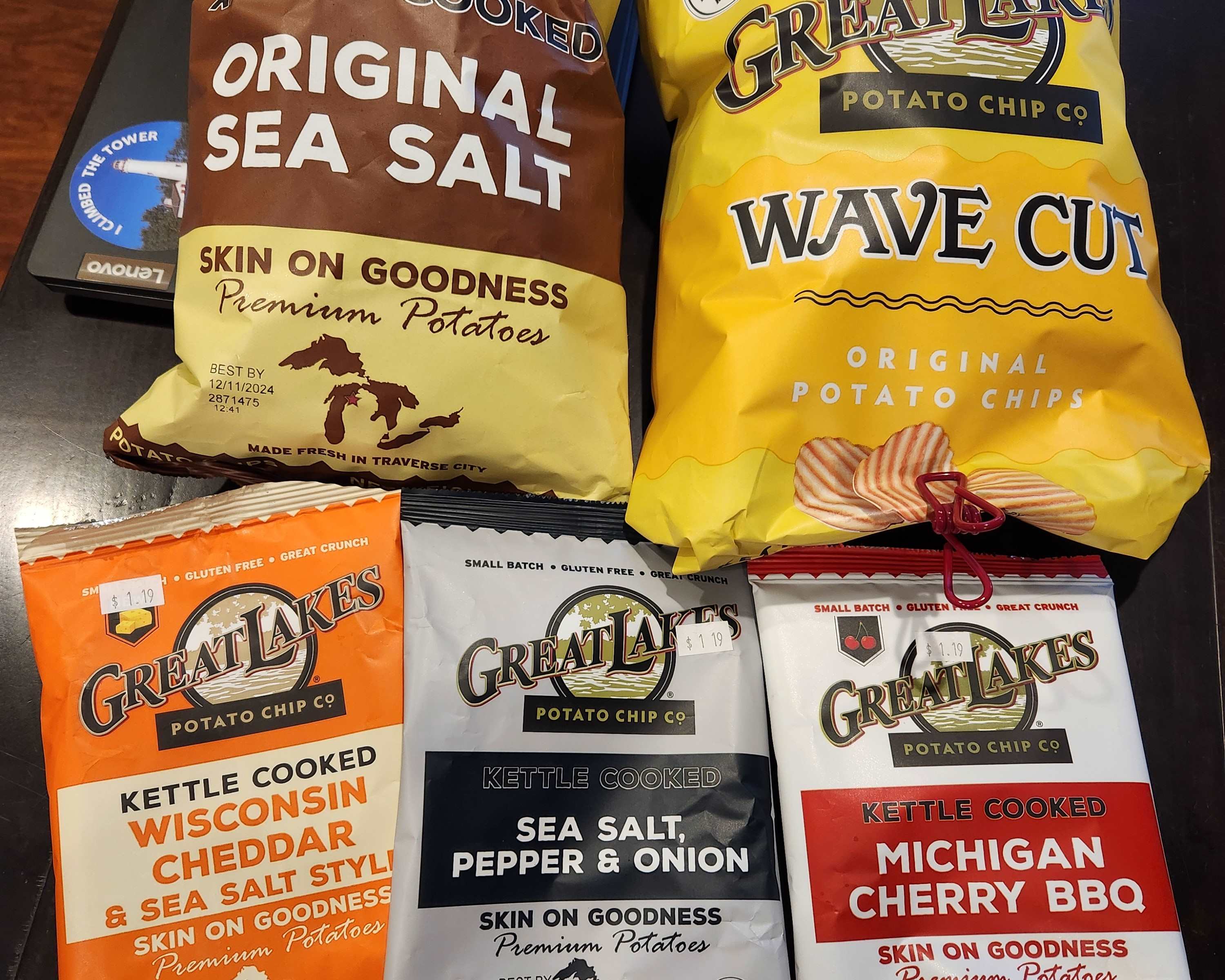
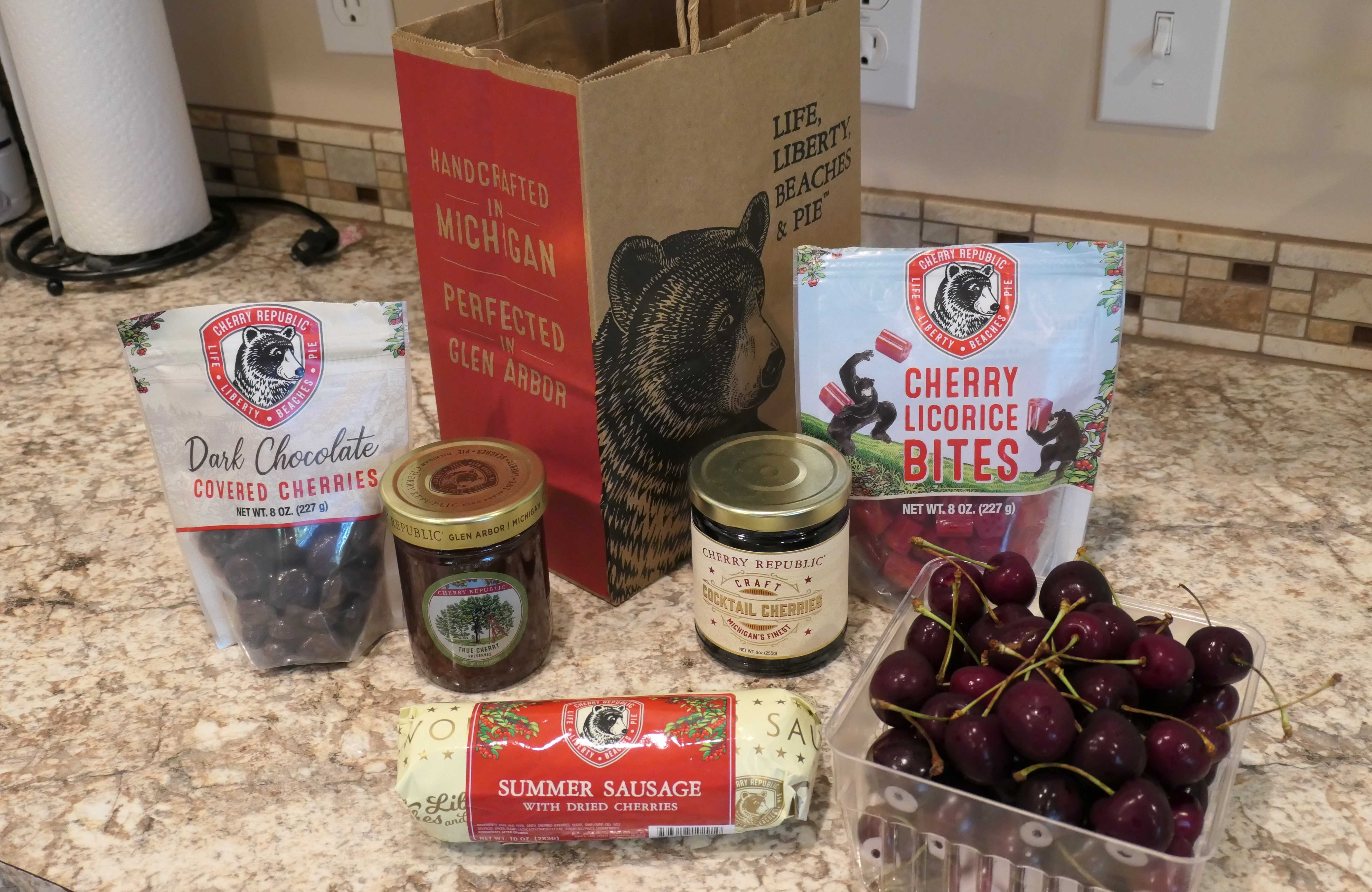
And now for the cherry on top
That’s a wrap on our time on the upper part of Michigan’s Lower Peninsula (easy for you to say), but we couldn’t leave without adding a sweet topper to our visit to Traverse City, the “Cherry Capital of the World.”
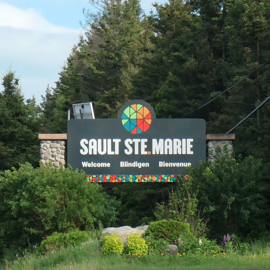
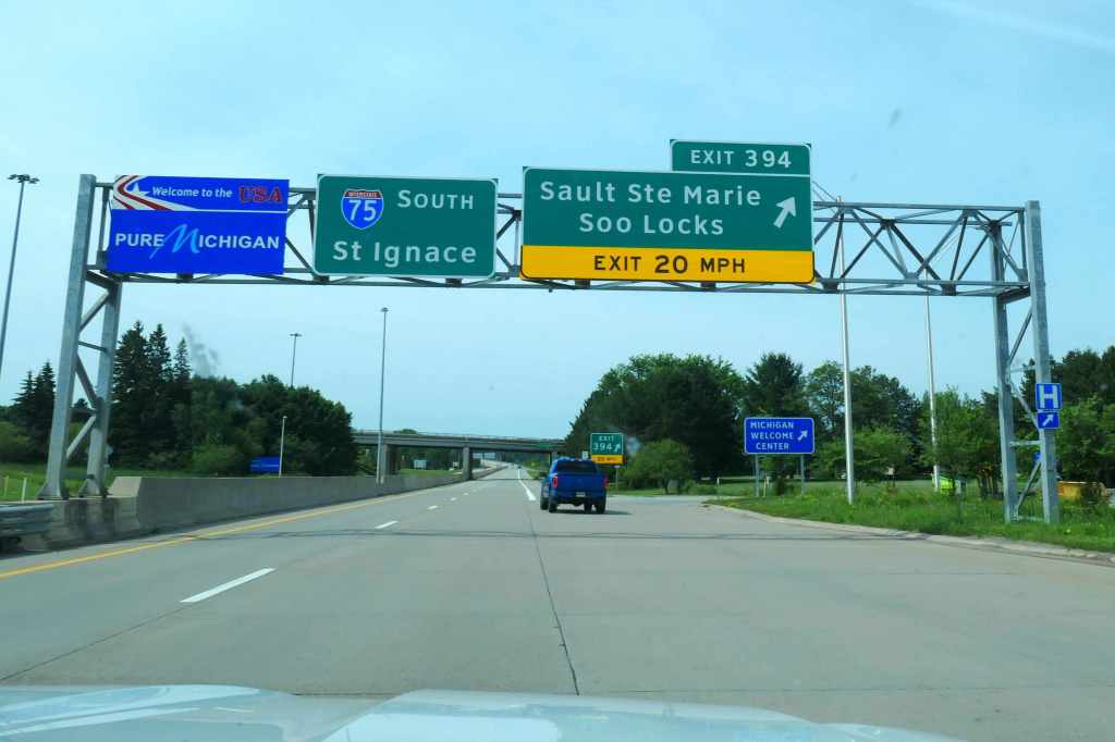
We’ve enjoyed hanging out with the Trolls for a couple of weeks. Now it’s time to visit the Yoopers on the Upper Peninsula. Next stop, Sault Ste. Marie!
Well, Honey, we’re actually going to the Canadian side first. Oh, right. Wonder what we’ll be known as up there?